Trail Overview
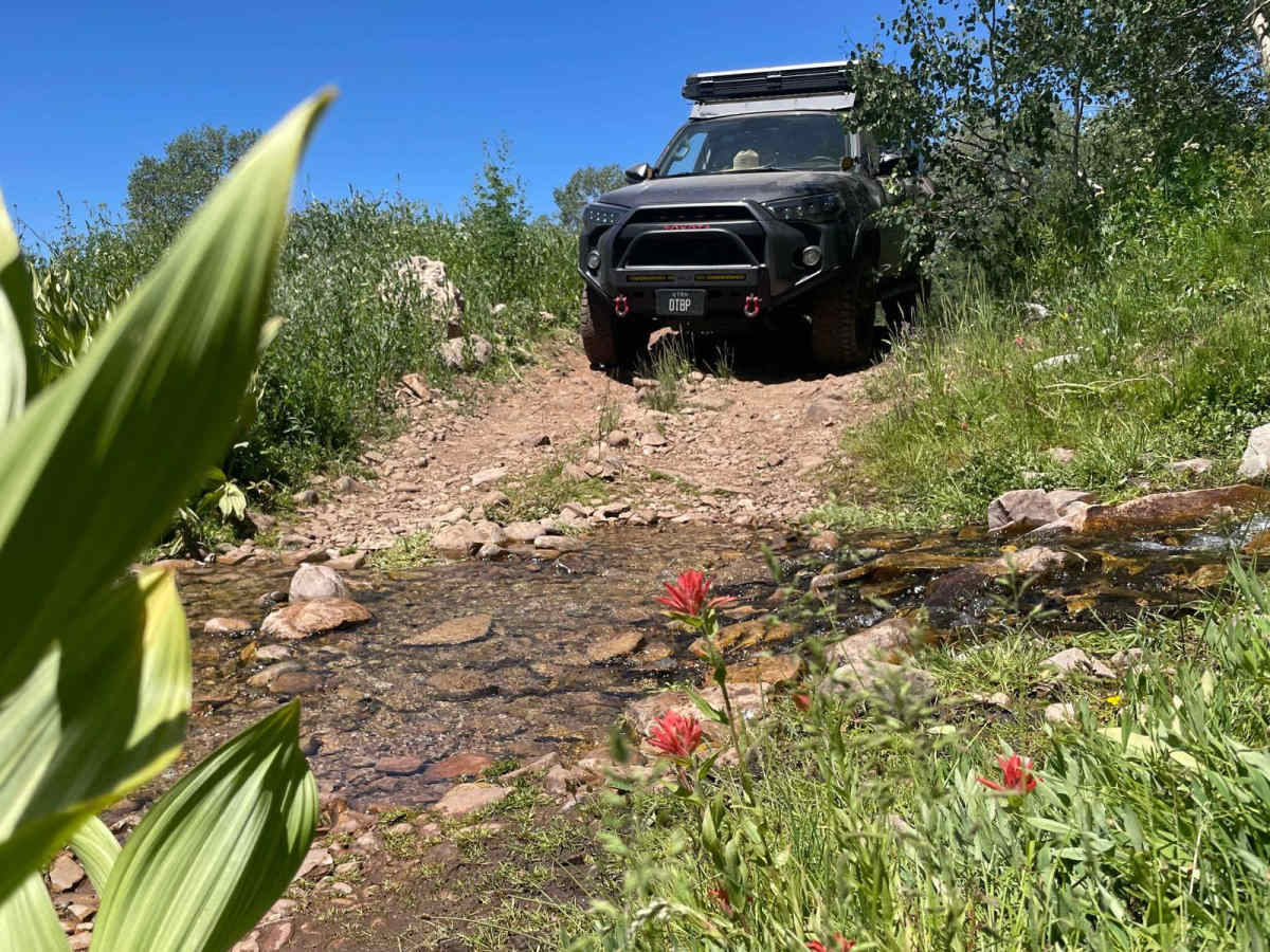
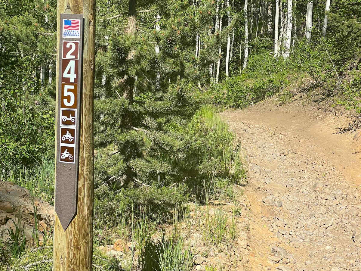
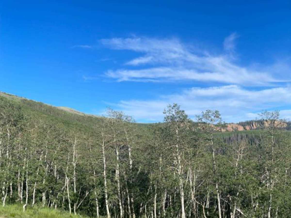
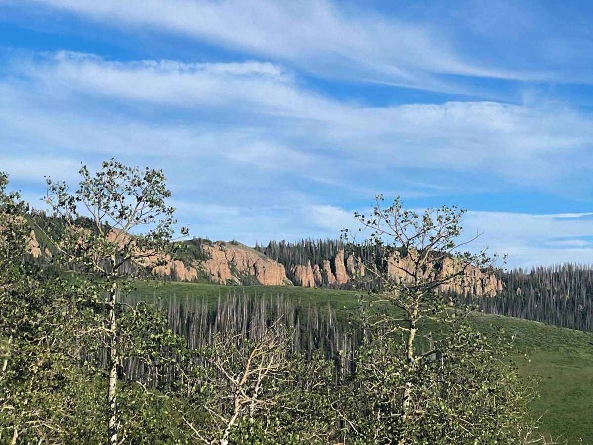
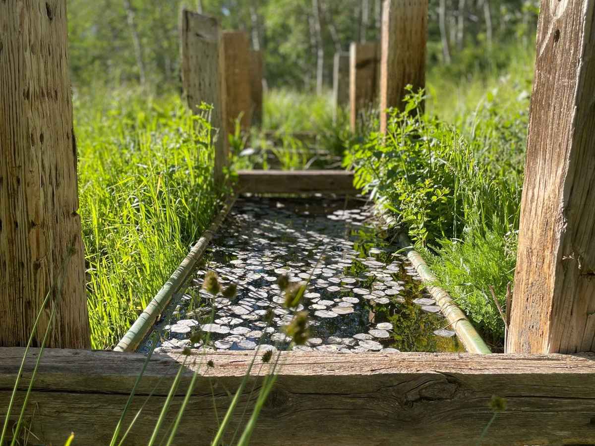
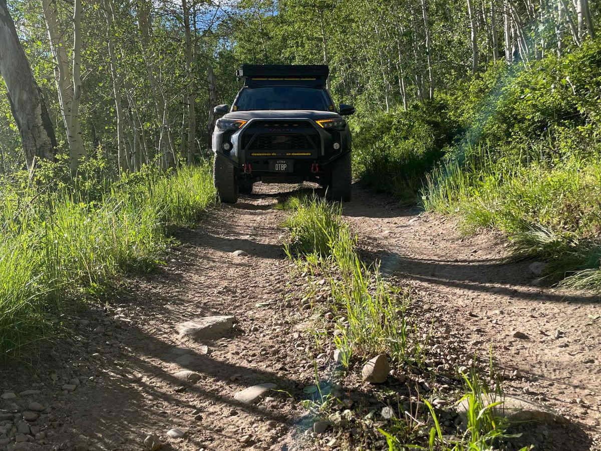
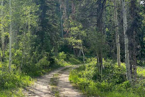
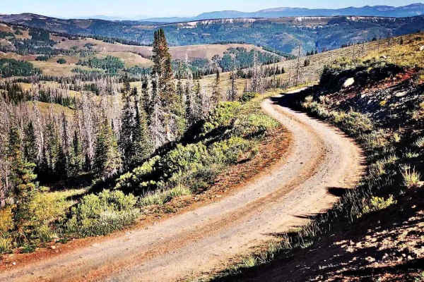
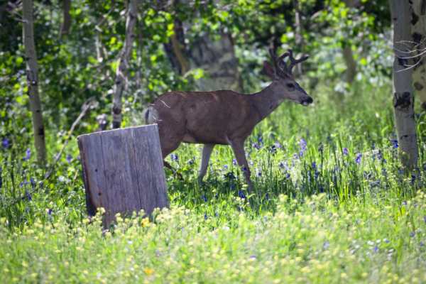
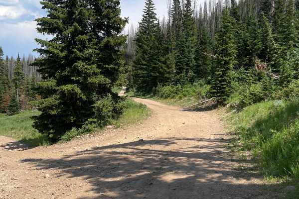
Chicken Cr is a nearly 9-mile Forest Service road that runs north and south through alpine meadows, and pine and aspen forests. Starting from the north end, you'll find a series of narrow gravel switchbacks as the trail climbs up over 600 feet in nearly a half mile. There are plenty of things to see and explore from Chicken Cr including magnificent views of Strawberry Reservoir and access to the conglomerate cliffs of Red Ledge. There are also a couple of quite small water crossings, depending on the season. On the south end of the trail are long stretches of brush that are almost guaranteed to leave some serious pin-striping on all but the narrowest of vehicles. Other noteworthy sections include deep ruts, roots, and softball-sized loose rock. Be aware, that cell service is very limited or spotty at best. There is also a gate on the south end of the trail that may be closed.
Difficulty
Uneven, dirt trail with loose rocks ranging from a softball to a melon. Very deep ruts on the south end of the trail. There are several low water crossings, less than a foot deep. The road is typically one vehicle wide with very few places to pass or turn around.