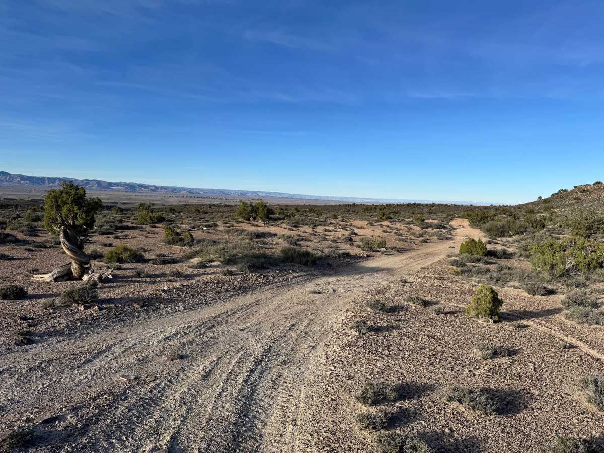
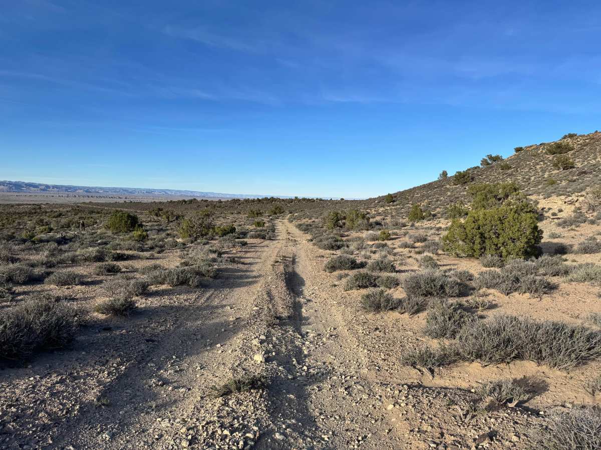
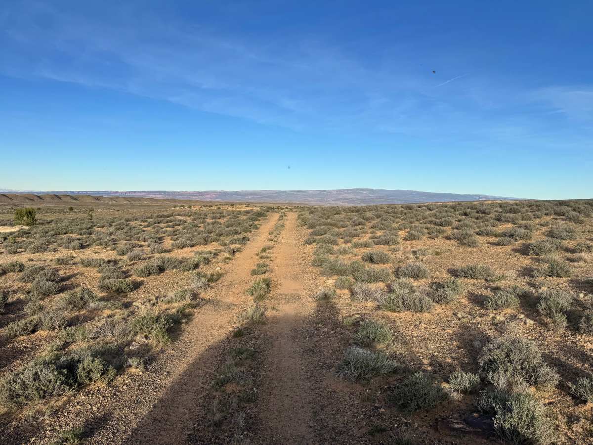
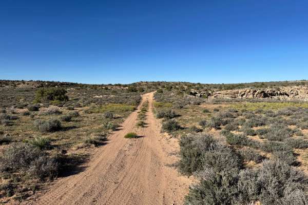
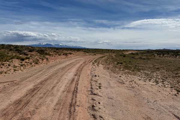
Trail Overview
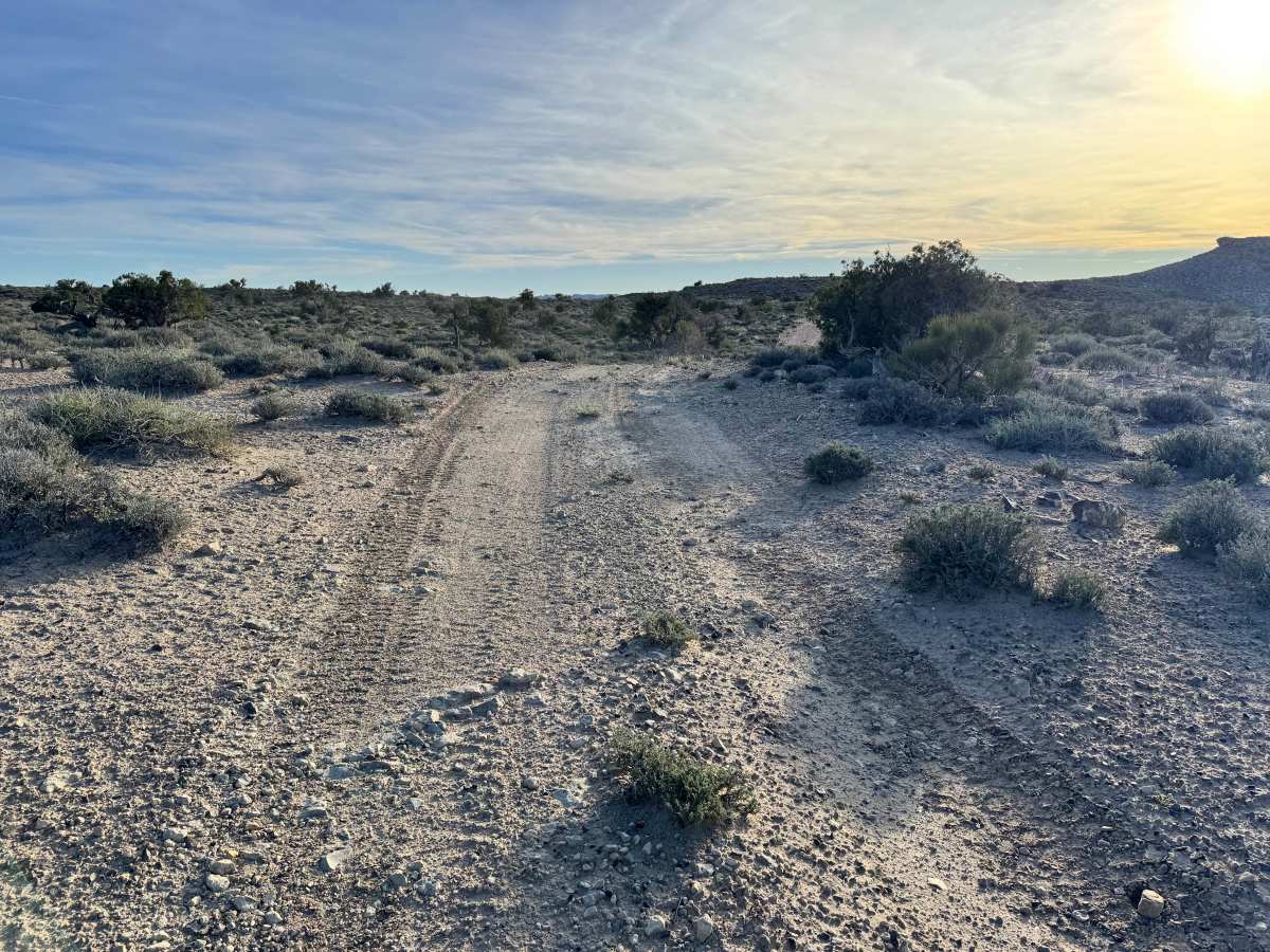
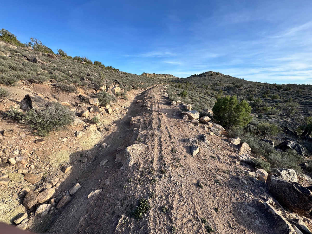
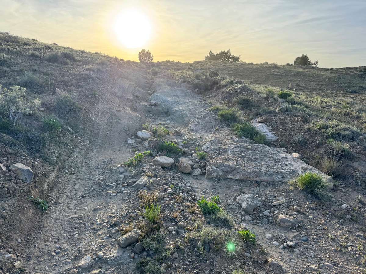
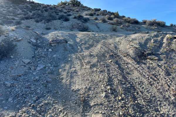
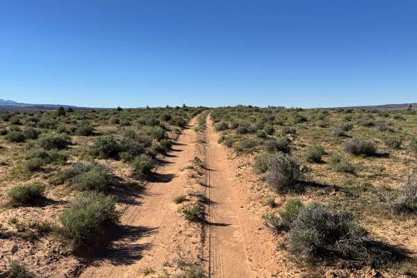
Non-Resident OHV permits apply to ATVs, UTVs, and dirt bikes. Plated street-legal vehicles typically do not need one on legal motorized routes. This route delivers a little bit of everything and keeps the drive interesting from start to finish. Expect to travel through sandy washes, rocky stretches with loose and protruding rocks, and long open straightaways that cut across wide desert flats with patches of grass and low vegetation. The changing terrain makes this a fun trail for drivers who enjoy variety instead of one repetitive surface. Sandy areas may become softer and more challenging after wind or storms. The open sections offer scenic views of the surrounding mesas and hills, while the tighter rocky portions add a bit more focus and technical driving. This is a solid trail for explorers wanting a scenic route with changing terrain and moderate challenge.
Difficulty
This trail is a good entry-level route for drivers wanting some variety without major technical obstacles. The mix of sandy washes, rocky sections, and uneven surfaces requires attention, but nothing described suggests extreme terrain in dry conditions. Protruding rocks may require slower speeds and careful tire placement, especially for lower clearance vehicles. Sandy areas can become more difficult if loose, wet, or recently disturbed by weather. A stock high-clearance 4x4 is recommended for the best experience, while crossovers or low-clearance vehicles may struggle on rougher sections.
History
The Yellow Cat Mesa area has a long history tied to ranching, mineral exploration, and uranium mining. During the mid-20th century uranium boom, this region saw increased activity as prospectors and mining companies searched the desert for valuable ore. Many of today’s roads began as access routes for exploration, drilling, and mine operations.