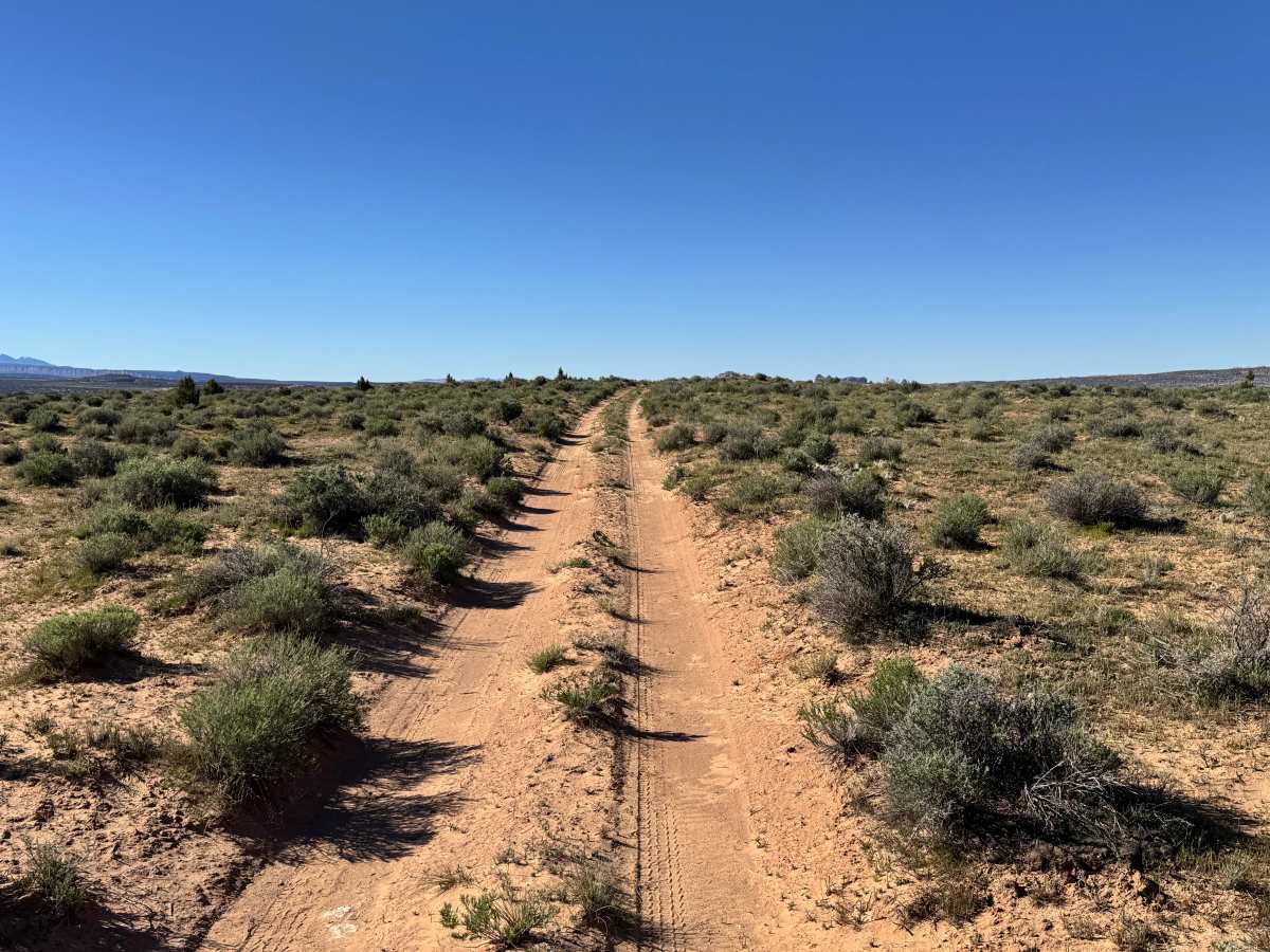
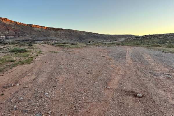
Trail Overview
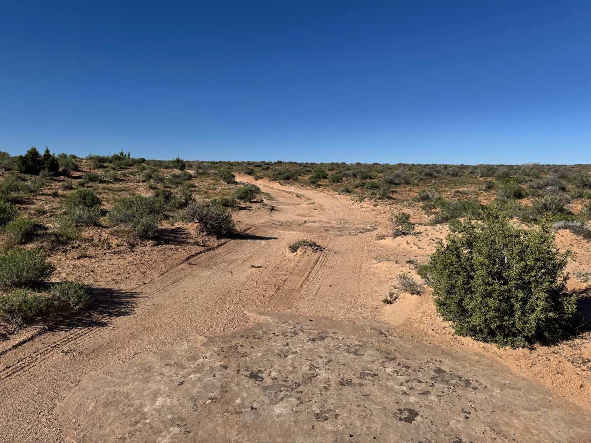
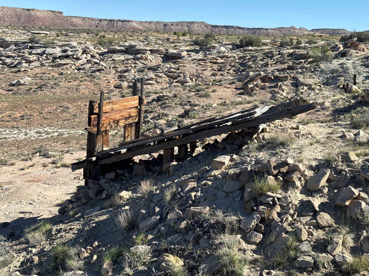
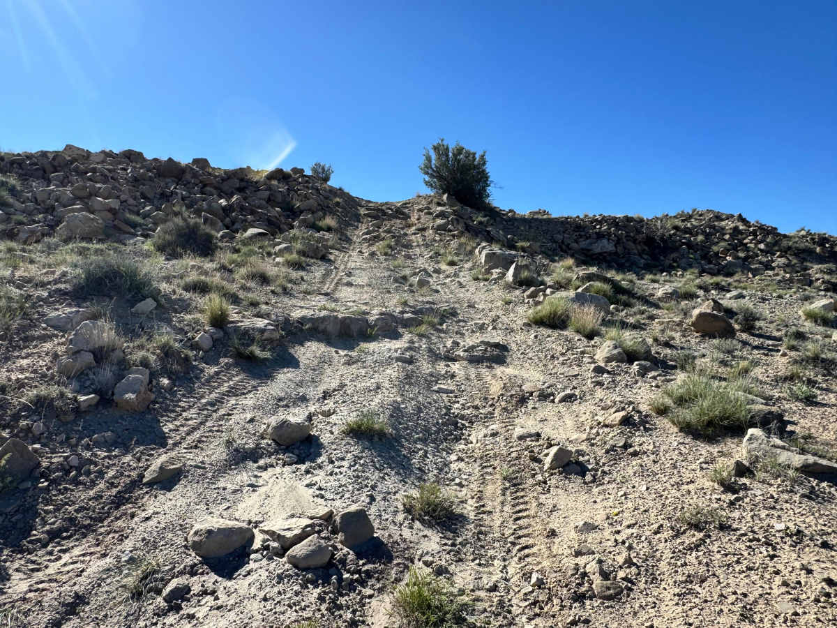
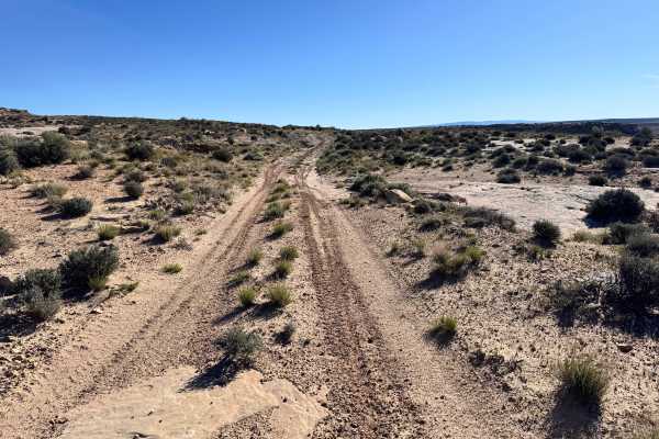
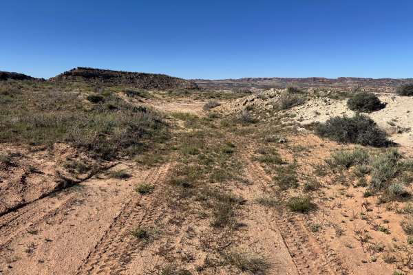
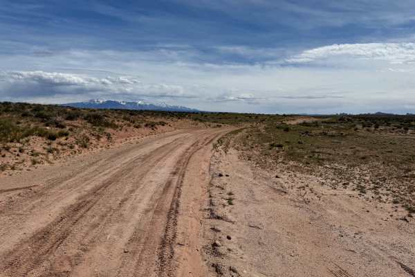
Non-Resident OHV permits apply to ATVs, UTVs, and dirt bikes. Plated street-legal vehicles typically do not need one on legal motorized routes. This route serves as a useful connector between Lost Springs Road and the Yellowcat Mining District while also offering a glimpse into the area’s mining past. Along the drive, you’ll pass several old mines and scattered mining structures that remain as reminders of the boom years that once shaped this landscape. The trail itself is generally straightforward, but it becomes more technical after leaving the top of the mine area. A slightly steep descent with loose rock requires extra attention, controlled speed, and careful tire placement. The combination of historic scenery and mild challenge makes this a worthwhile connecting route.
Difficulty
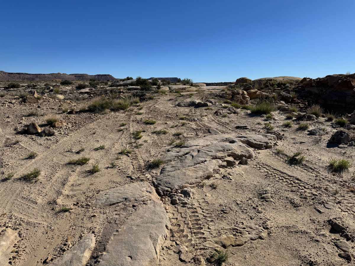
This connector route is mostly straightforward, but one slightly steep descent with loose rock and protruding rocks up to 18 inches tall raises the challenge above a basic dirt road. Careful braking, controlled speed, and tire placement are important on the downhill section, especially for longer wheelbase vehicles or in loose conditions. Outside of that area, the route is generally manageable for most stock high-clearance 4WD vehicles. Wet weather can increase difficulty by reducing traction on the descent.
History
This region is closely tied to the uranium and vanadium mining booms that shaped eastern Utah in the mid-1900s. During the Cold War, demand for uranium surged, bringing roads, claims, camps, and small industrial sites into the desert. Evidence of that era still remains today in the form of old structures, fenced or barricaded mine openings, tailings areas, and abandoned access roads. These remnants are part of the area’s story: look, photograph, and respect them without disturbing anything.