Trail Overview
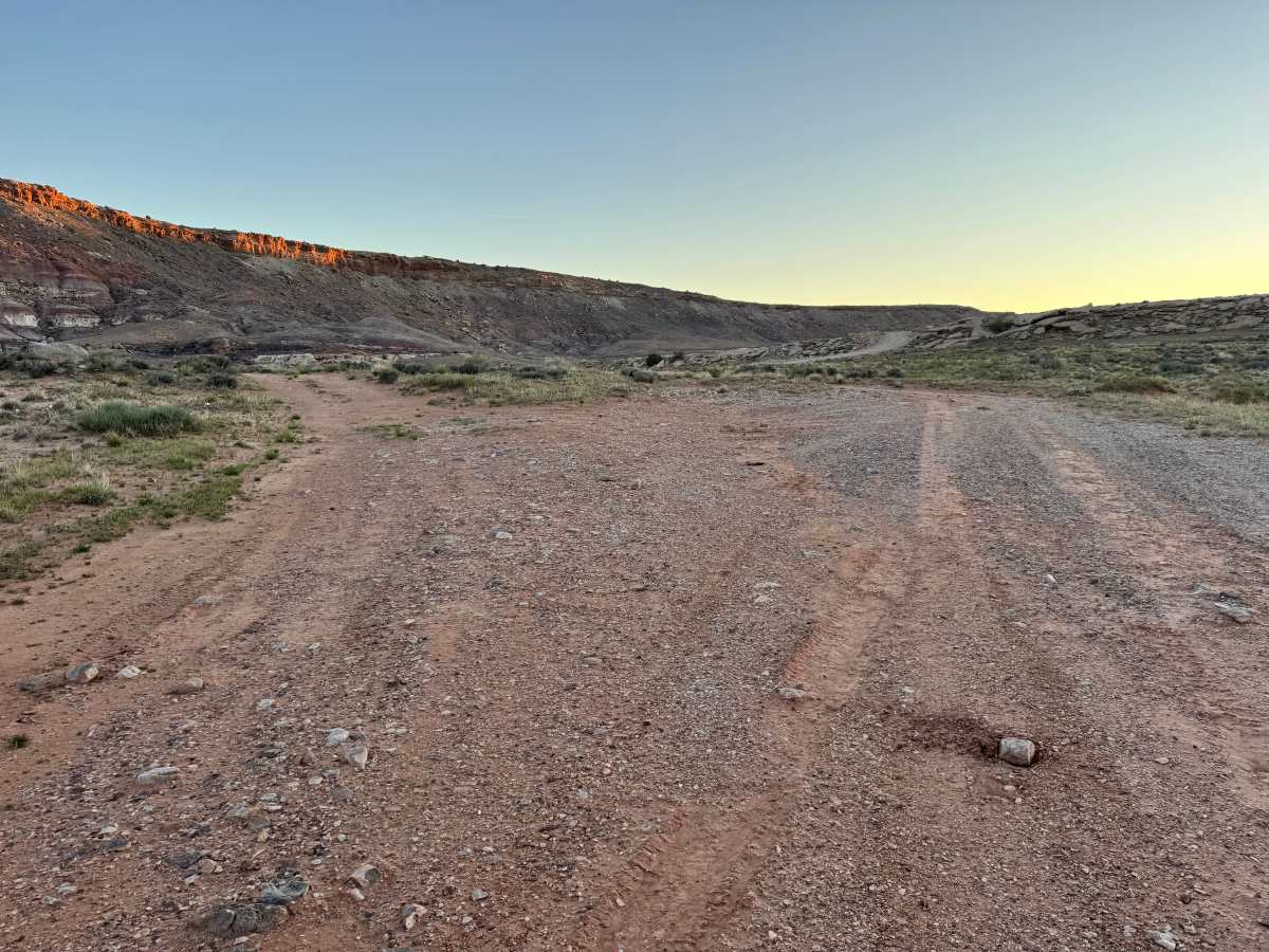
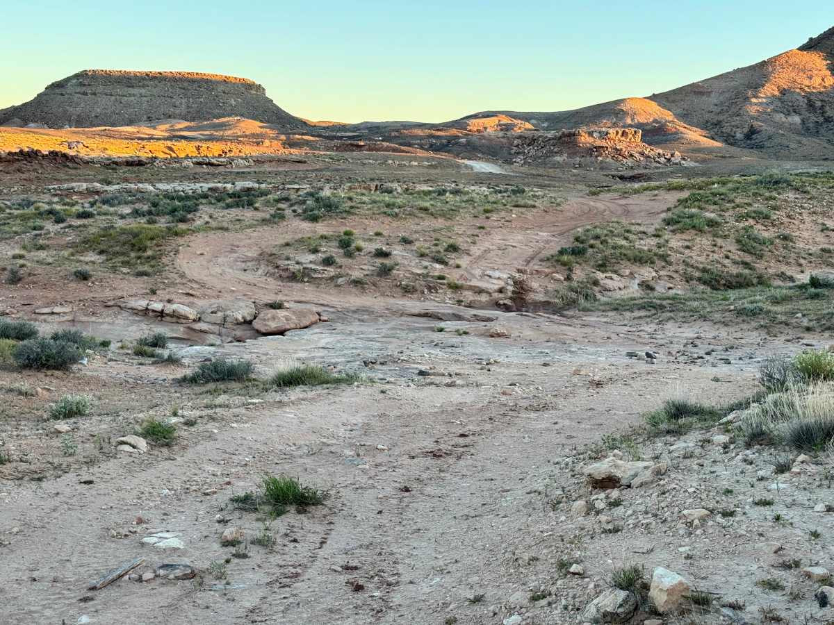
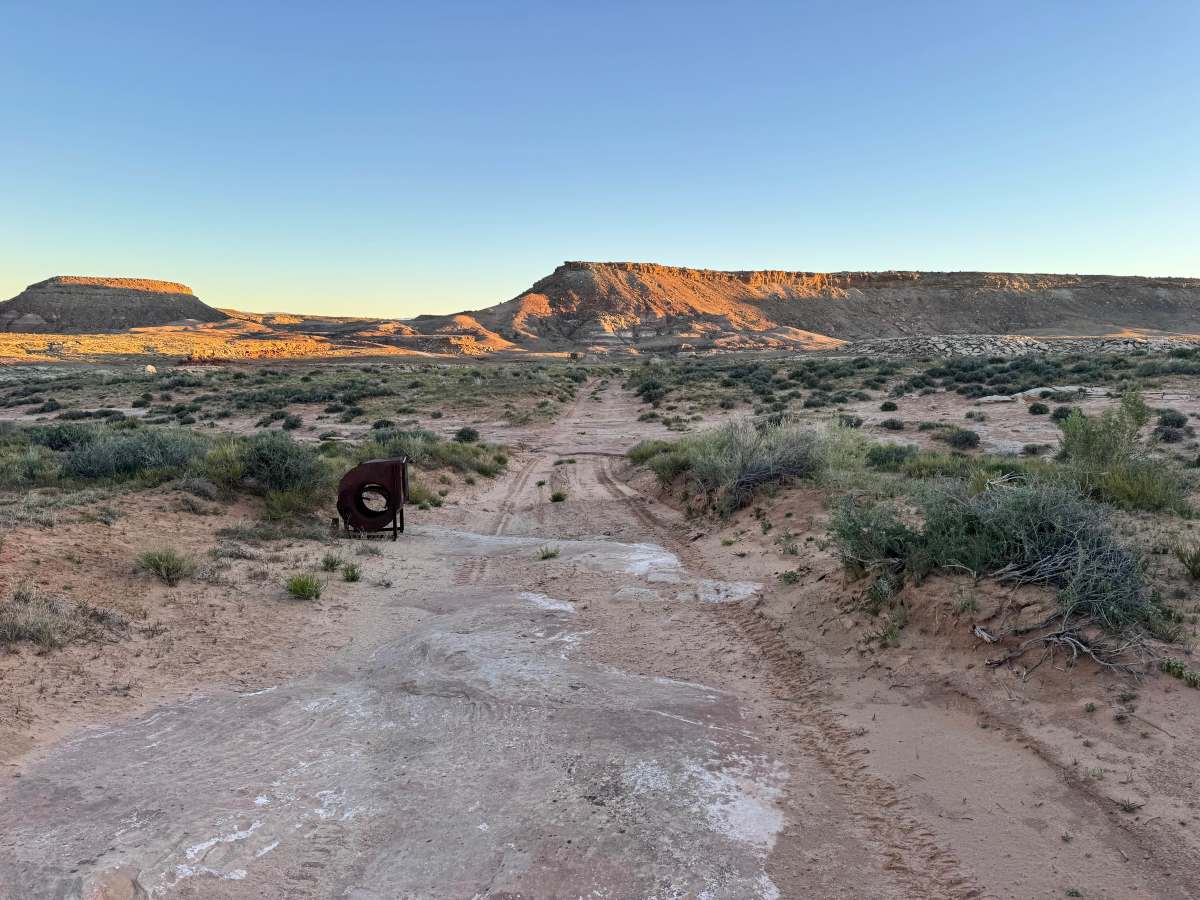
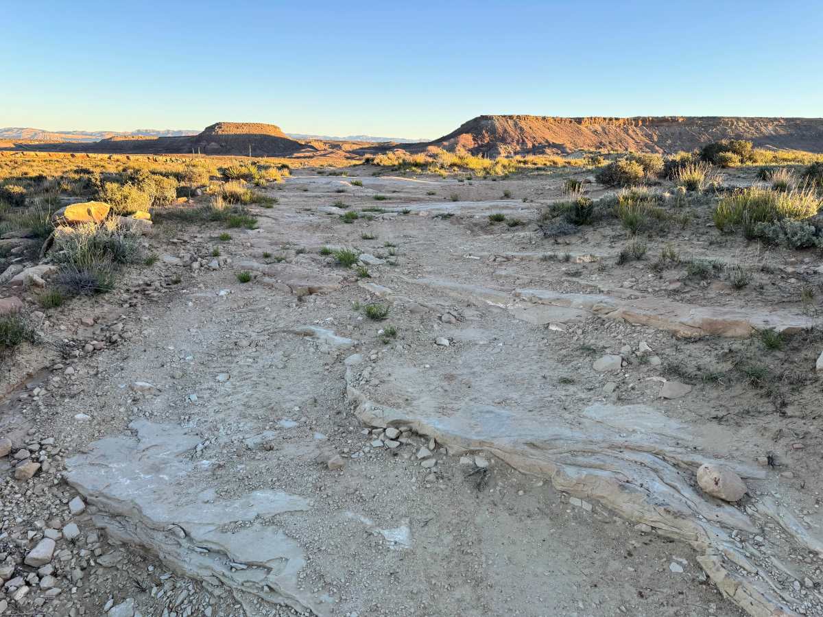
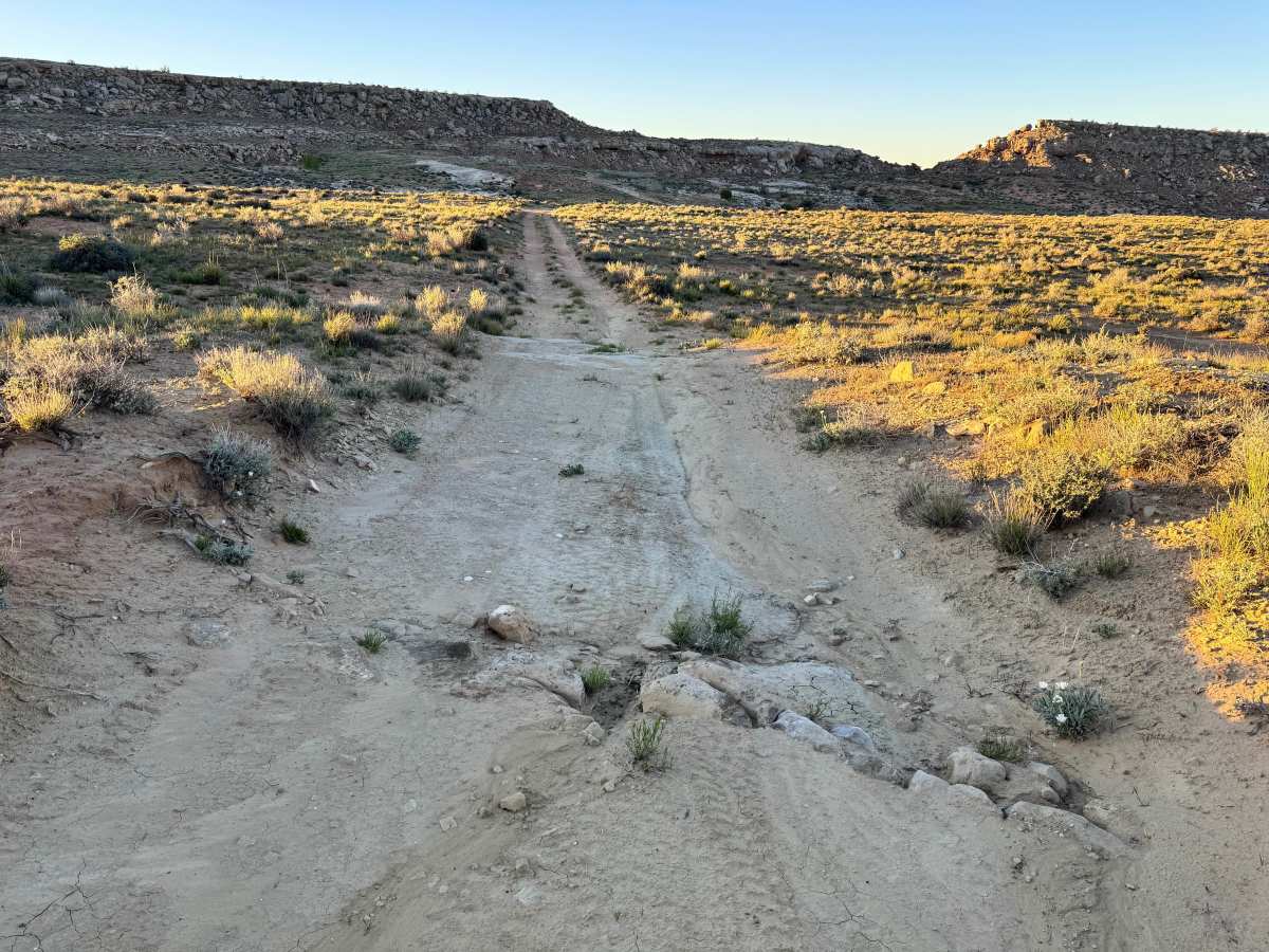
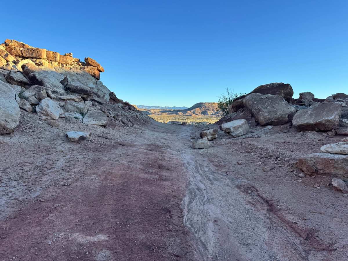
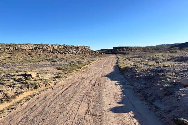
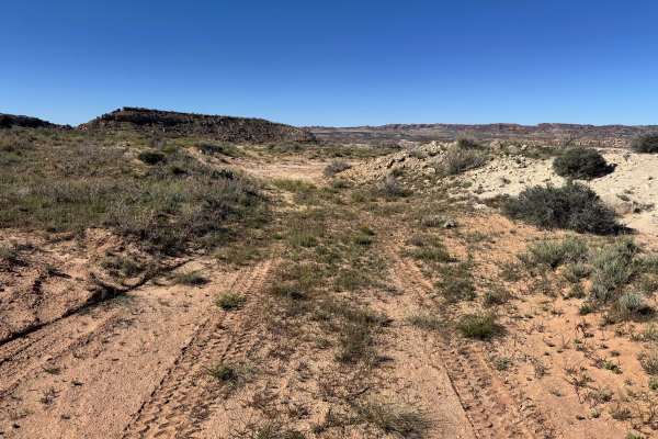
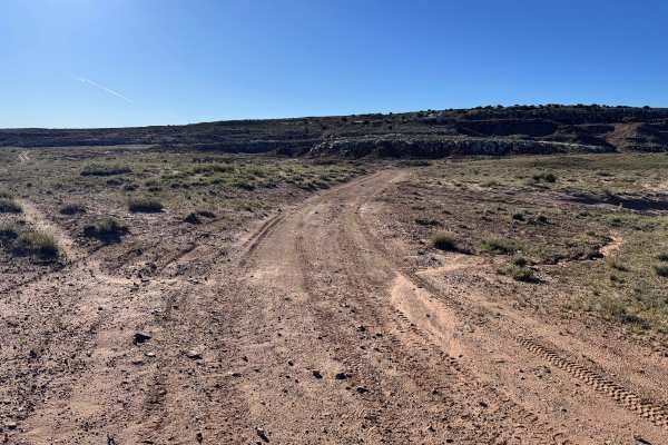
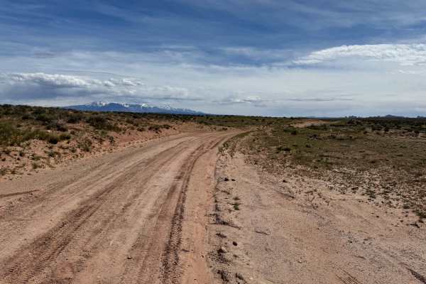
Non-Resident OHV permits apply to ATVs, UTVs, and dirt bikes. Plated street-legal vehicles typically do not need one on legal motorized routes. This route branches off Yellow Cat Road and runs for nearly two miles through a historic mining area filled with closed or barricaded mine sites. Along the way, you will pass reminders that some active mining claims still exist in the area, so respect all posted signs, leave structures and artifacts untouched, and do not remove anything. The trail itself is generally simple and easy to travel, making it a good option for those looking to explore the area without major technical obstacles. Expect a few washouts and smaller rocky stretches where stones protrude through the sandy dirt surface. One notable feature requires driving up a smoother rock surface between rock walls to continue toward the end of the route, adding a fun change in terrain before the trail finishes.
Difficulty
Most of this route is simple and easy to travel on sandy dirt with minor rocky sections. A few washouts, scattered protruding rocks, and small rock shelves up to 12 inches tall add a light challenge, while one smoother rock climb between rock walls is the most notable obstacle. In dry conditions, most stock high-clearance 4WD vehicles should manage the route without issue. Careful tire placement is helpful in eroded or rocky spots.
History
This region is closely tied to the uranium and vanadium mining booms that shaped eastern Utah in the mid-1900s. During the Cold War, demand for uranium surged, bringing roads, claims, camps, and small industrial sites into the desert. Evidence of that era still remains today in the form of old structures, fenced or barricaded mine openings, tailings areas, and abandoned access roads. These remnants are part of the area’s story: look, photograph, and respect them without disturbing anything.