Buttes and Towers-Moab

Total Miles 17.4
Technical Rating
3 Easy
Best Time Spring, Summer, Fall, Winter
Trail Type High-Clearance 4x4 Trail
Accessible By
Open Trail Map

Trail Overview

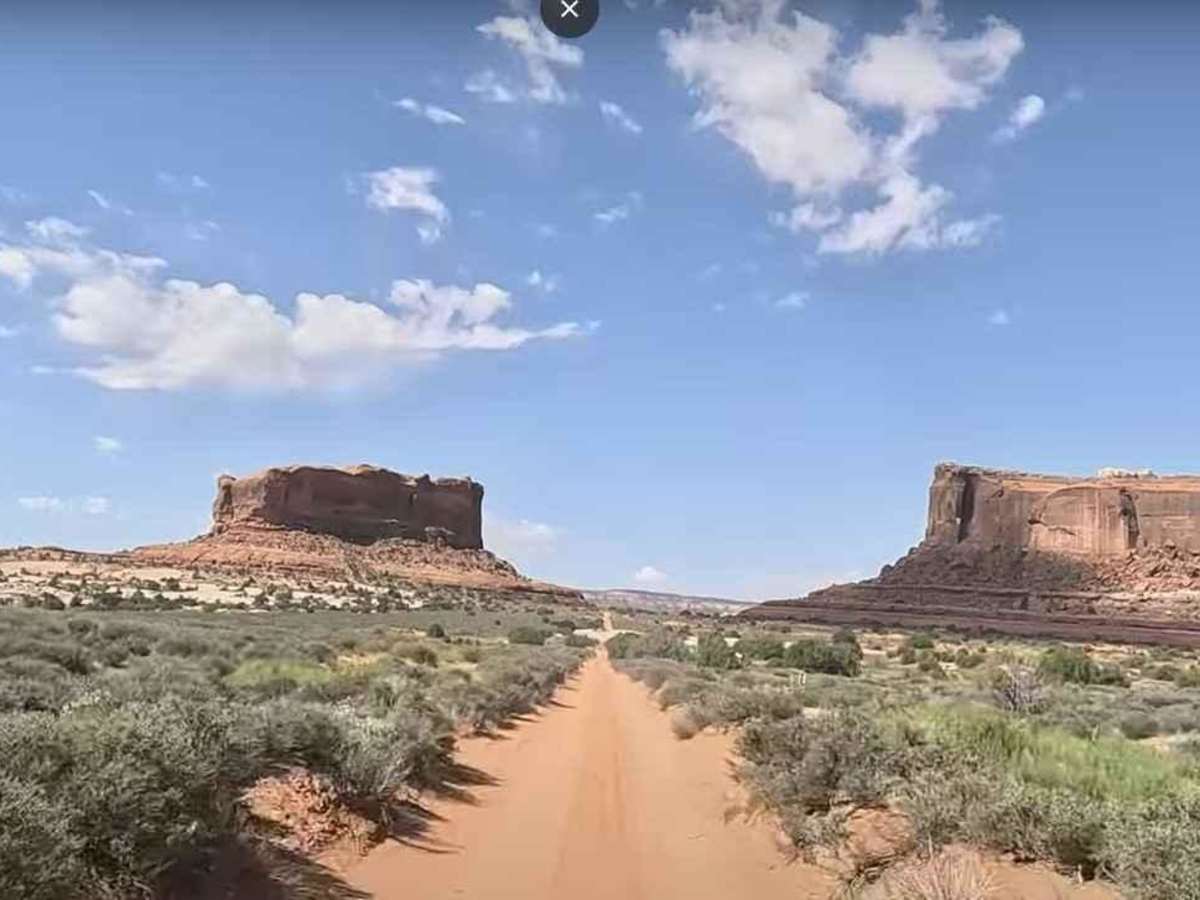
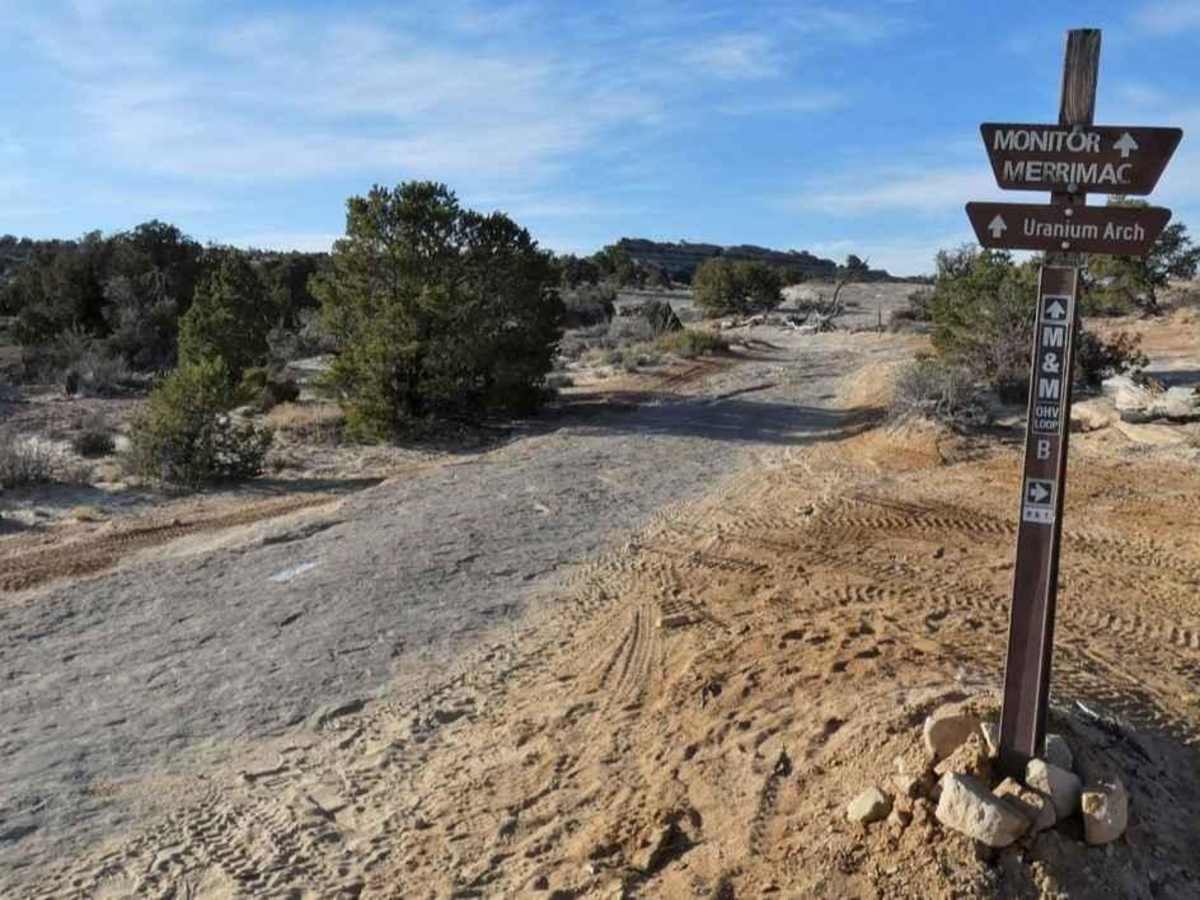
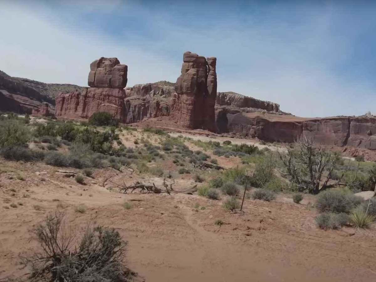
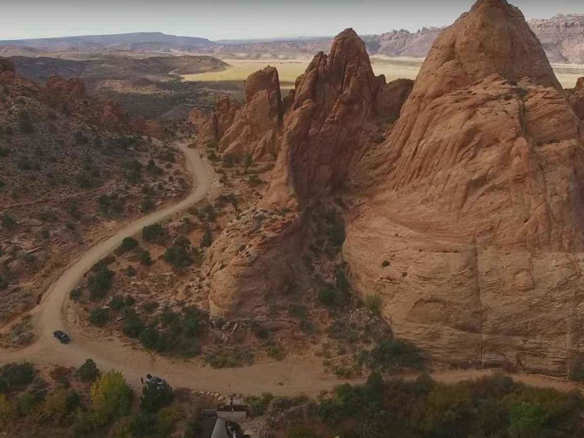
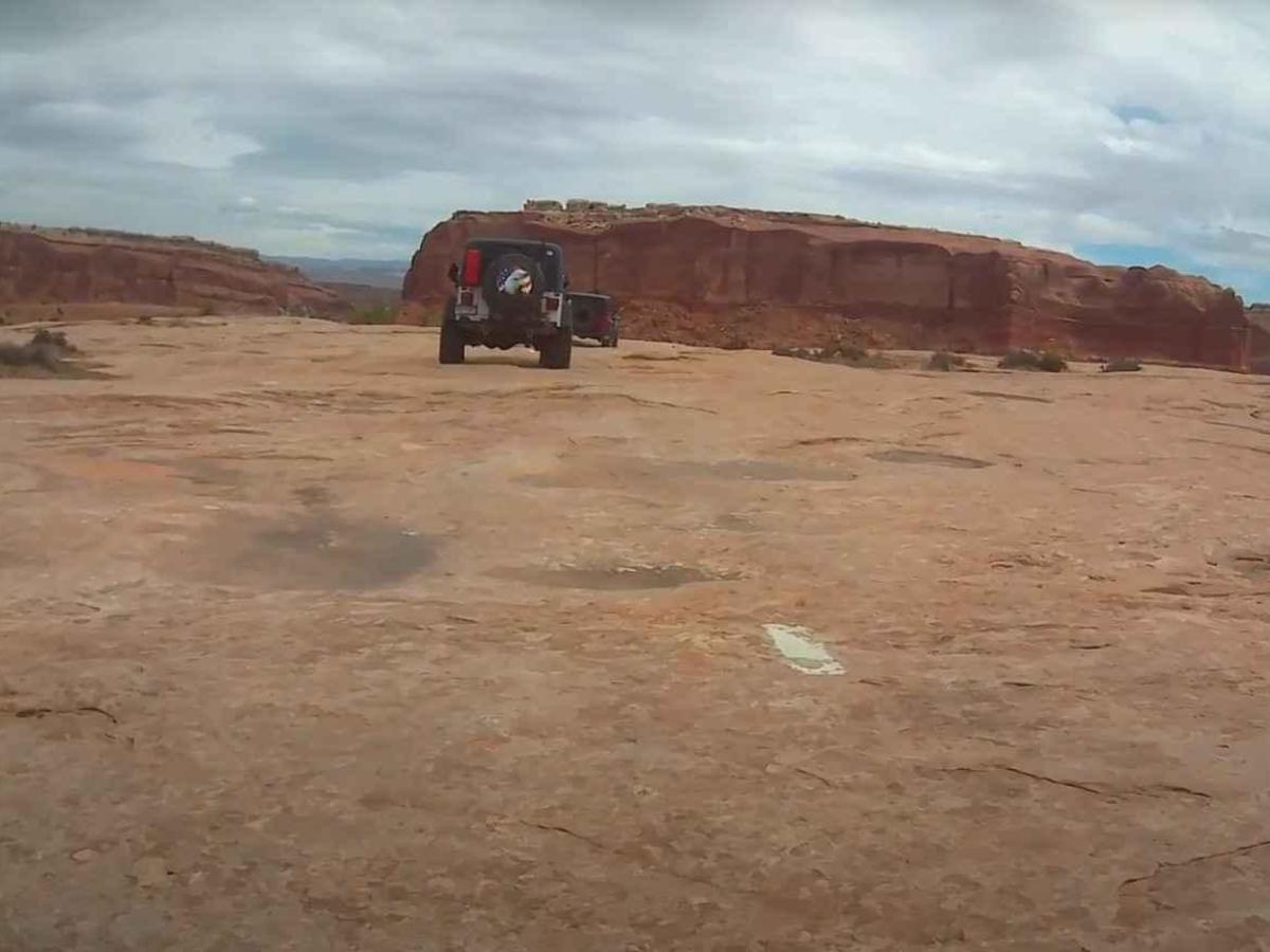
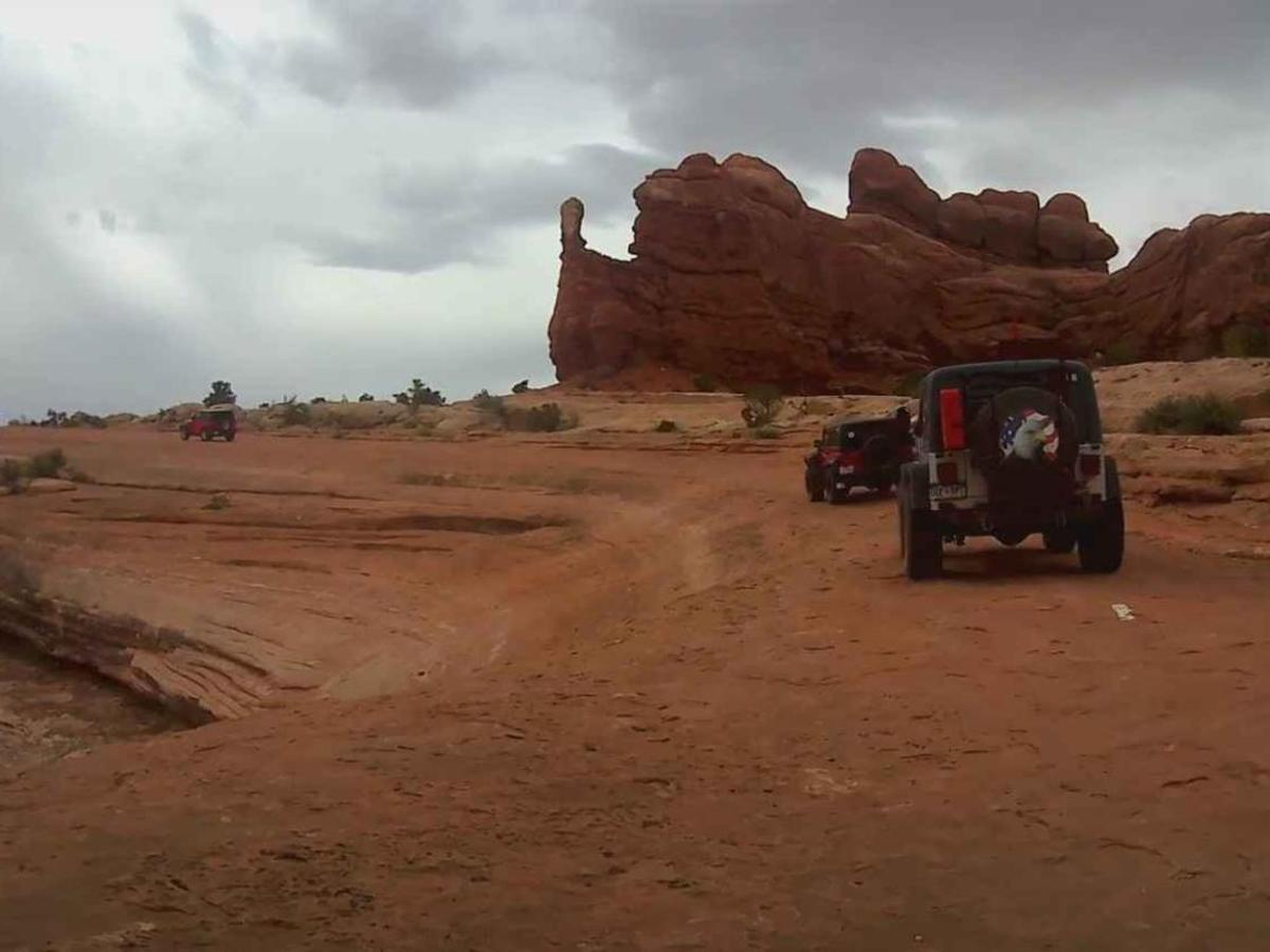
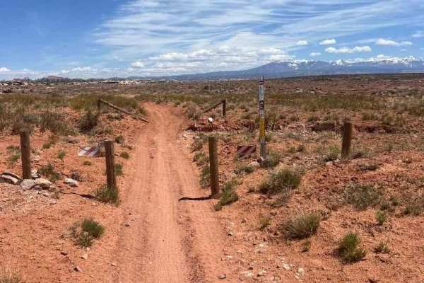
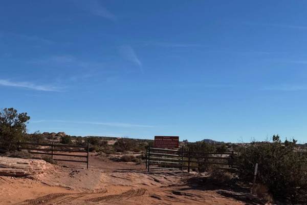
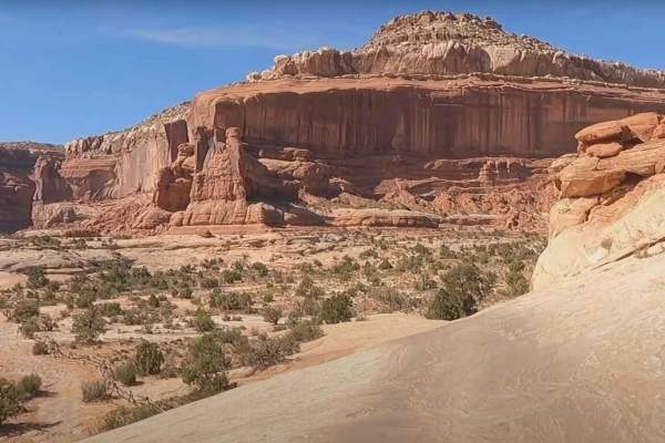
Buttes and Towers trail is an 18-mile point-to-point trail rated 3 of 10 located outside Moab in Grand County, Utah. This trail offers the perfect combination of moderate 4-wheeling with plenty of sightseeing opportunities. Some rougher sections of the trail call for more attention than others but nothing too tough for a stock 4WD to handle. This beautiful trail visits the scenic Courthouse Pasture area northwest of Moab to provide participants with picturesque views and vistas of the beautiful reddish Entrada rock formations that are plentiful in this area. The La Sal Mountain peaks serve as a backdrop. Courthouse Rock dominates the beginning of the trip. The trail passes some of the most famous areas of northern Moab such as Pasture Butte, Monitor and Merrimac Buttes, and Determination Towers. There are no major obstacles along this route. After crossing the ledge section and traveling through Mills Canyon the trail runs straight south out to the buttes. After visiting the buttes, the trail backtracks and then turns west towards the towers thus giving this trail its name. The trail surface varies but stays consistent with the trail rating. It varies from bumpy rock sections to smooth sandy washes. There are two track dirt sections, a lot of fun slickrock driving that includes some sidehill areas (follow the white dashes painted on the slickrock), then sandy creek bottoms, and a lot of sandy pasture area. Sprinkled among all this variety are broken, rubbly rock sections and a few short steps. Cell phone service is intermittent and the nearest services are in Moab.

Photos of Buttes and Towers-Moab

Difficulty

The trail consists of loose rocks, dirt, and sand with some slickrock surfaces. Mud holes are possible and no steps higher than 12". 4WD may be required, aggressive tires are a plus.

Technical Rating

3

Status Reports

Add Status Report
Claude Mumpower
Jun 12, 2026
Open
Got to the spring area and the trail had a fence across it, had to do a 10 point turn in canyon to get out. Not sure why it was blocked
Michelle Garcia
Apr 29, 2026
Open
Would not call this a 3/10. Doable, some of the bypasses seemed harder than shelf drops. Great fun but be prepared.
jeff brandt
Apr 25, 2026
Open
someone put some white paint marking in around the cliffs which is nice because it would be easy to get lost. There is a hard right break which is easy to miss which can be a problem.😬 personally i think 3 is a bit light, it is a workout in a stock willys.
Deryk Hagey
Mar 26, 2026
Open
Most of the trail is fun on a mid-size adv bike. The out-and-back section as drawn is very sandy, deep sand, for a ways. I had to abort that. Otherwise the loop is fun and scenic. Plenty of opportunities to learn and try things without much risk or a big commitment to a long day.
David Gordon
Mar 16, 2026
Open
Open and clear 👍😎
Mariah Klingler
Feb 14, 2026
Open
A large slab of sandstone appears to have fallen across part of the trail a few miles in. I picked my way through it, but there are large boulders and some are larger than a Jeep. It appears some people have driven further down on the sandstone and around to avoid the obstruction.
David Bayendor
Sep 02, 2025
Open
Steve Nunn
Jul 15, 2025
Open
Great fun with lots of nice scenery.
Michael Leary
May 18, 2025
Open
Wet conditions made it a lil more challenging, but overall very fun not too technical. Beautiful views throughout. Take your time and hike around, some of the best views in the West.
Jason Baker
May 01, 2025
Open
This trail was challenging and fun, but I'd be careful with a stock 4x4 truck. Plenty of places to mess up and get in trouble without skid plates and good clearance. Perfectly doable though, and we had a blast. Lots of alternate routes on the rough stuff, but there's a few ledges that really need careful climbing.
Brianna kahawai
Mar 11, 2025
Open
beautiful trail. but definitely some technical stuff. and it's slow going as a lot of it is on the hard rock. My little old ranger made it without many problems but there were for sure a few rough spots.
Abimelec Garcia
Dec 25, 2024
Open
It was fun, fun entrance going uphill and we found some areas with sand and rocks
Phillip Tanabe
Oct 16, 2024
Open
Josh Thorsen
Oct 15, 2024
Open

Buttes and Towers-Moab Trail can be accessed by the following ride types:

  • Single Track
  • 50 Inch
  • 60 Inch
  • High Clearance

Buttes and Towers-Moab Map

The onX Offroad Difference

onX Offroad combines trail photos, descriptions, difficulty ratings, width restrictions, seasonality, and more in a user-friendly interface. Available on all devices, with offline access and full compatibility with CarPlay and Android Auto. Discover what you're missing today!

Open Trail Map