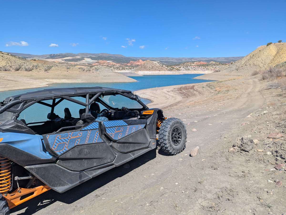
Trail Overview
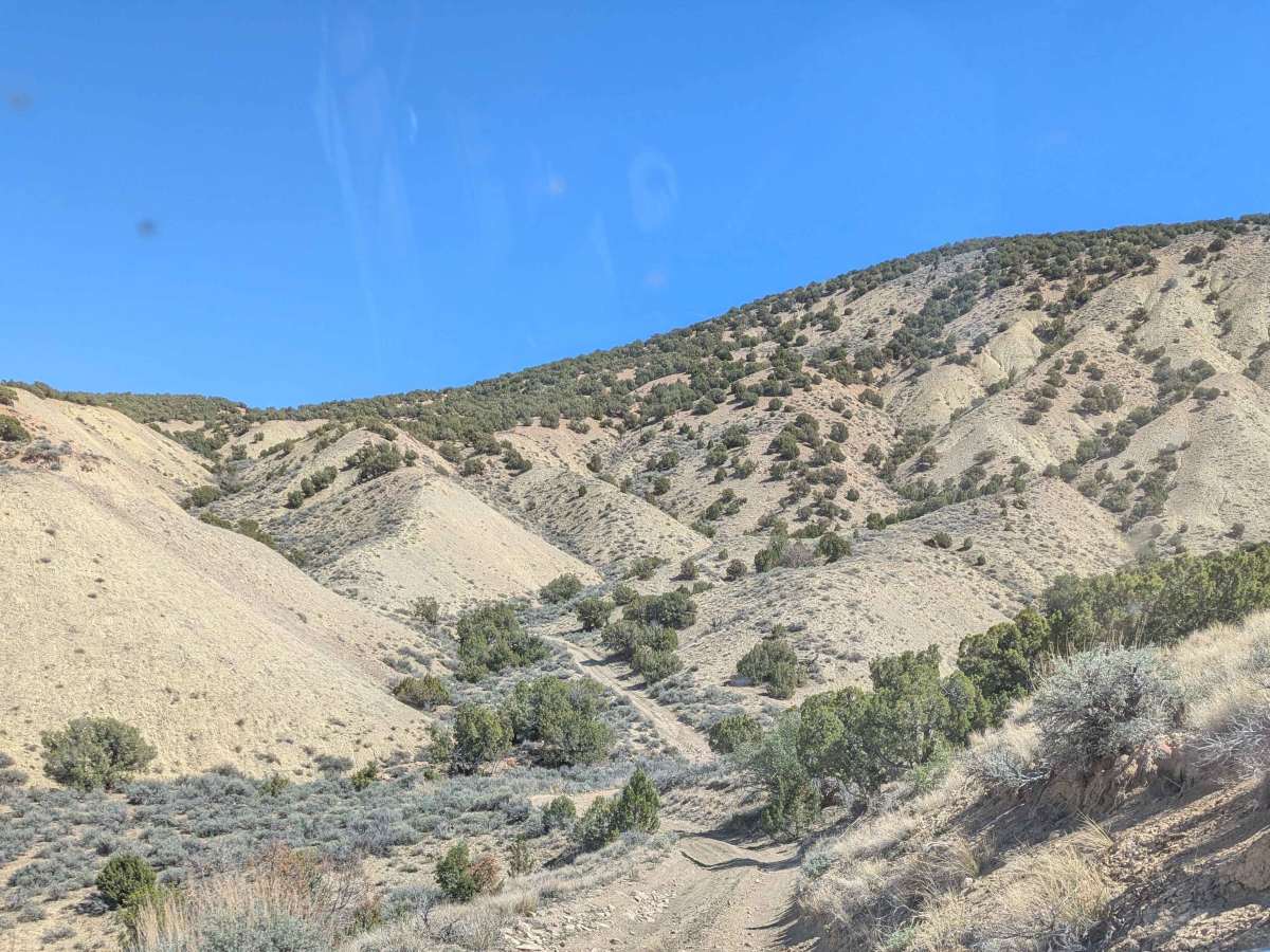
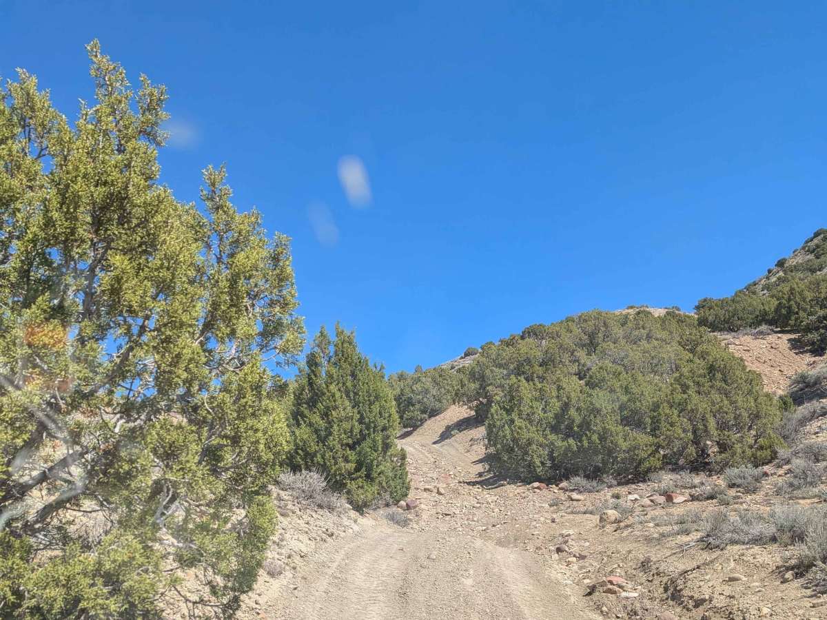
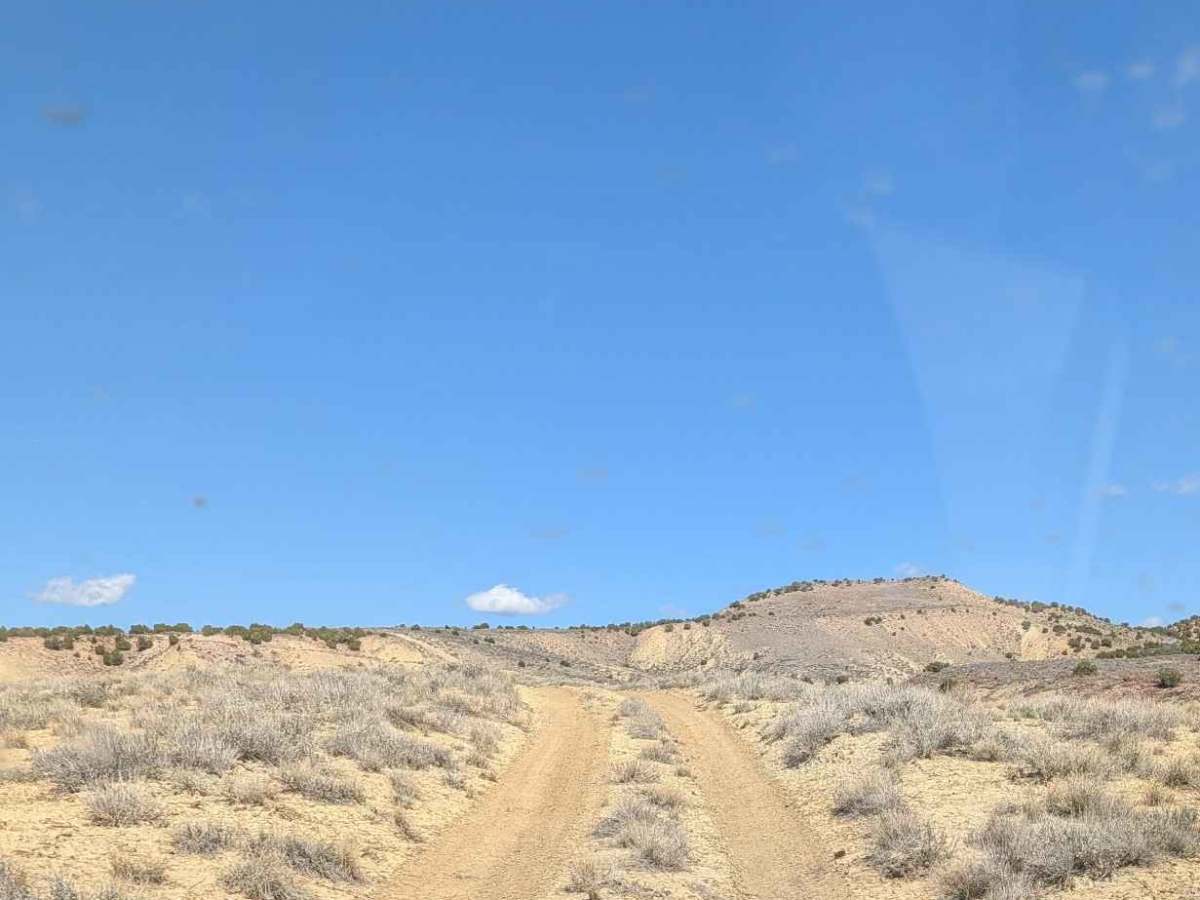
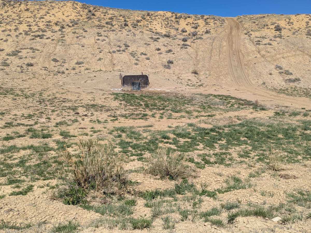
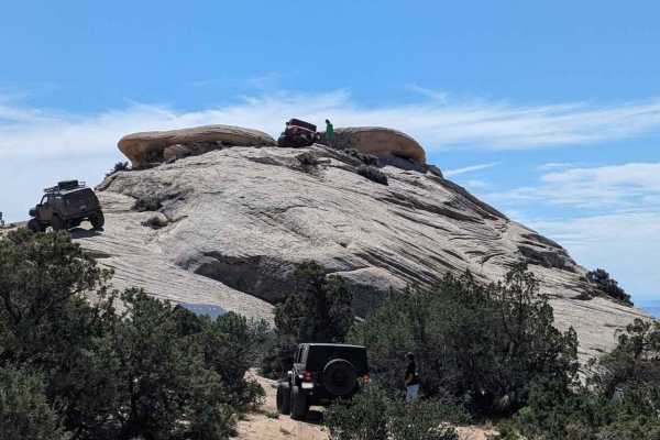
This is a mostly moderate loop with some tight sections, steep and loose climbs, and some areas where you can really open up your machine! It's not directional, but the directions here are running clockwise. The loop starts out near the Diamond Mountain Speedway / Buckskin Hills Shooting Complex. From there, it's a fairly open and high-speed run through the sagebrush until you get to the hills, when the trail becomes tighter and narrower as you navigate up and down some gullies. Signage is extremely limited, with lots of offshoots and optional paths. Trail markers for '15' with a blue square and the Outlaw trail system are occasionally posted. From this section, you'll work your way to an overlook of Red Fleet and water access, a great way to cool off in the summer! Working your way back towards the highway, the trail ends back at Diamond Mountain Highway (1410). At this point, after you do a bit of highway, you can reconnect to the trail system, but be forewarned of numerous washed-out trail sections and dead ends. These are not on this route. The loop can be done in under 2 hours in a capable machine, but expect that the majority of folks will be in the 2-4 hour range, depending upon if you stop and enjoy the lake.
Difficulty
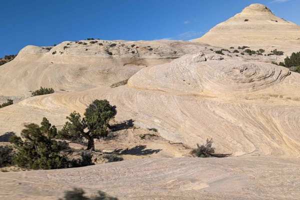
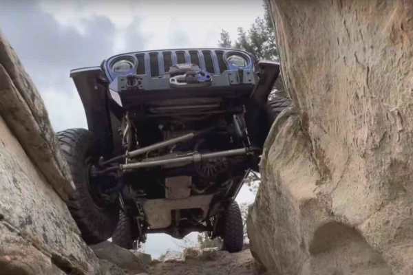
The west loop on this map is predominantly a narrow trail with some loose rocky sections, but no major obstacles. Should be easily passable by a competent driver in a stock SxS or capable stock high-clearance 4x4. The trail gets very narrow in numerous places with no room to pass. Several places are wide open and fun to let your machine go!