Red Mountain Moonshine Arch

Total Miles18.8
Technical Rating
8Difficult
Best TimeSpring, Summer, Fall, Winter
Trail TypeFull-Width Road
Accessible By
Open Trail Map

Trail Overview

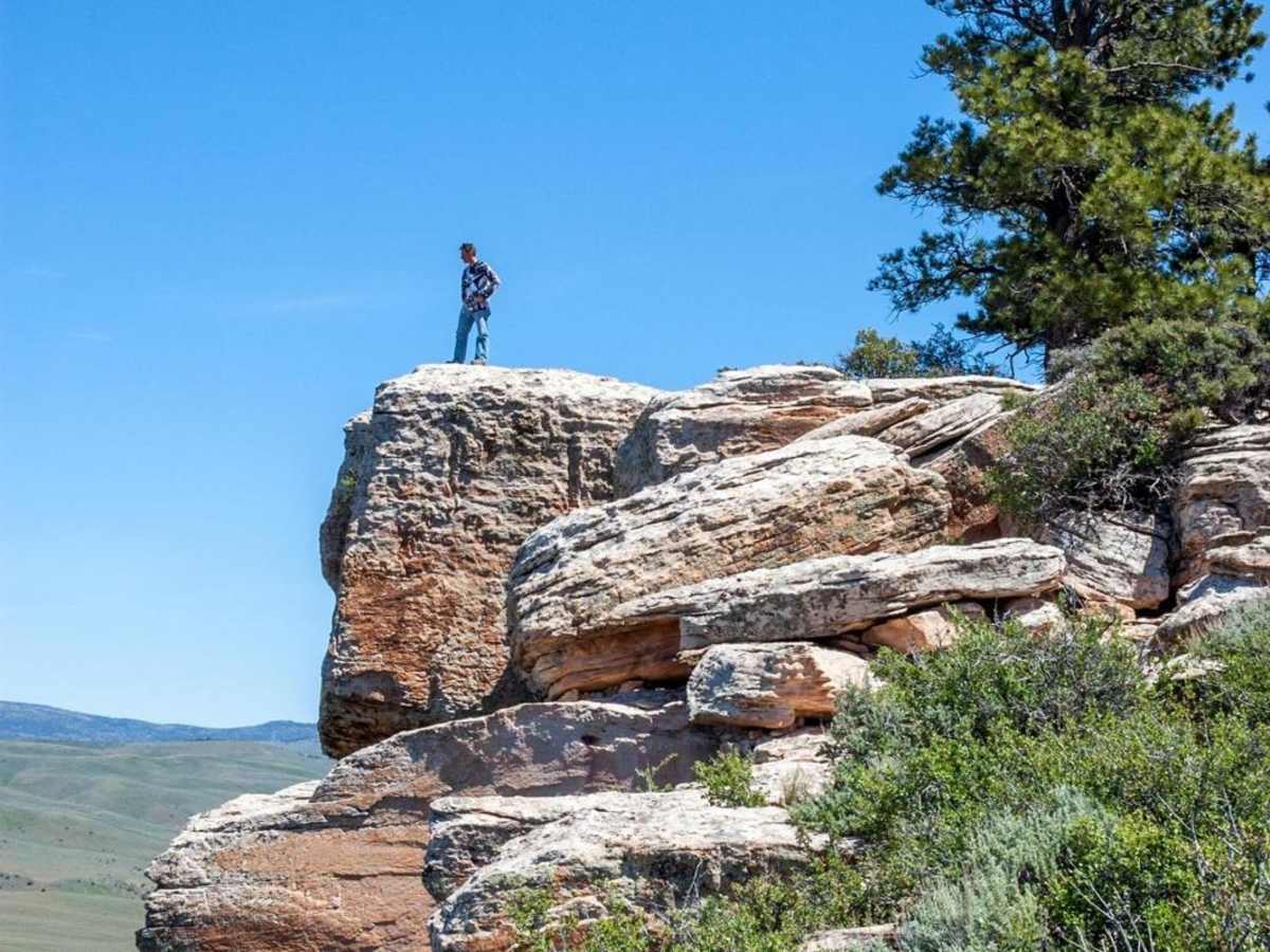
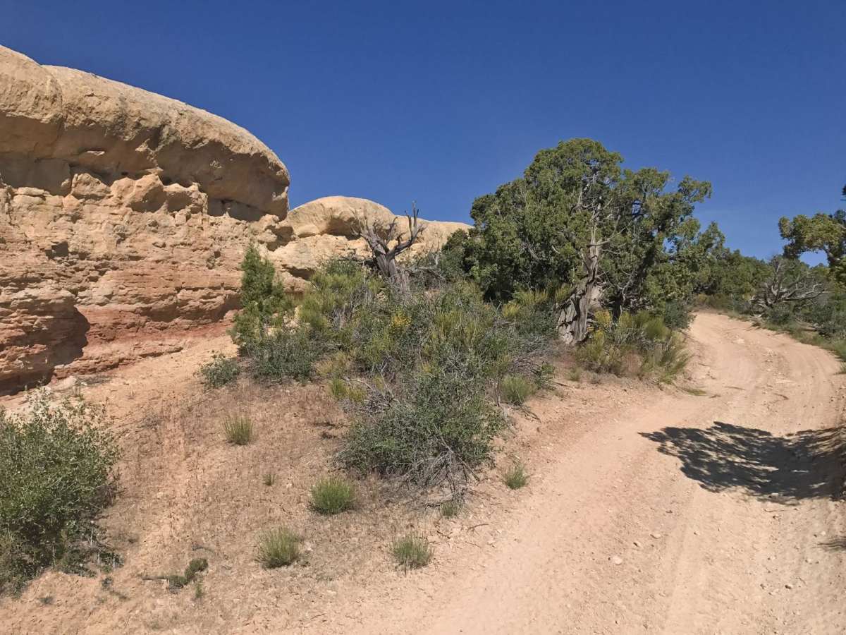
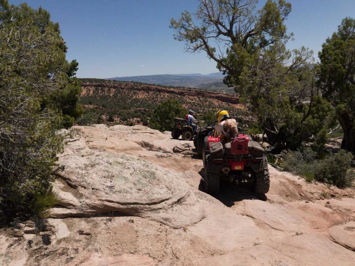
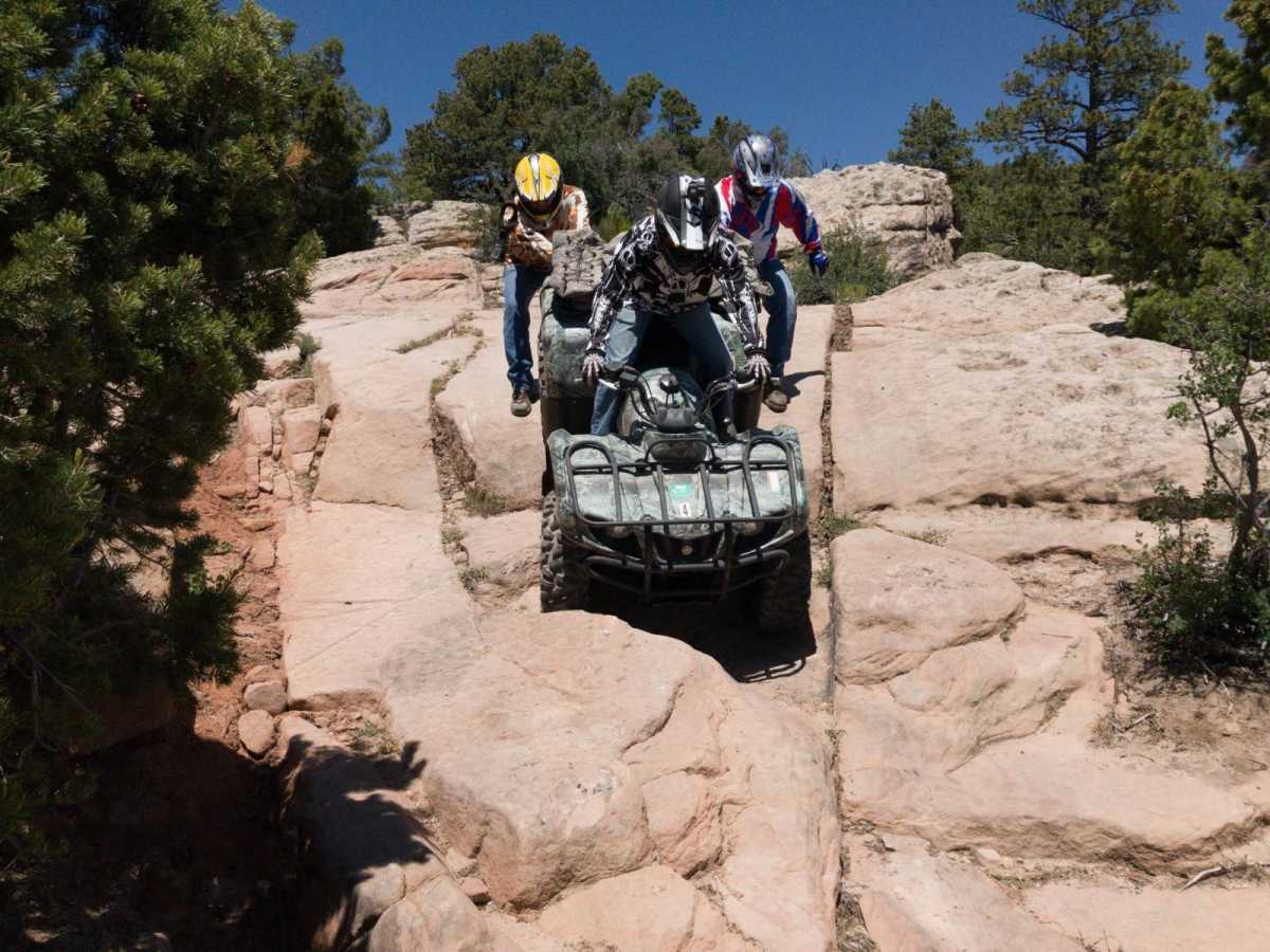
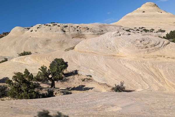
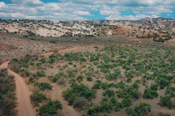
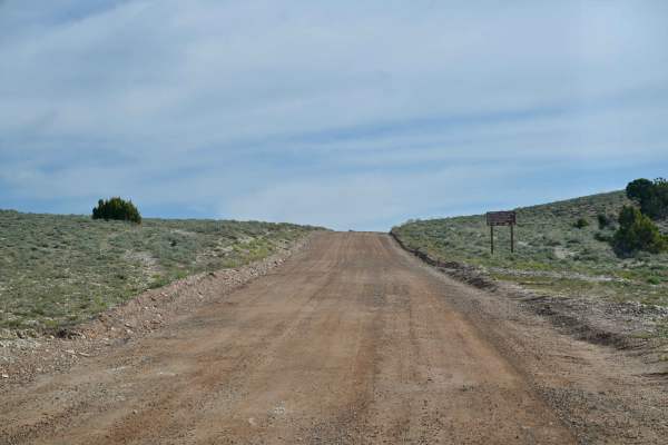
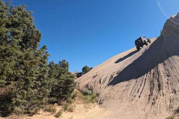
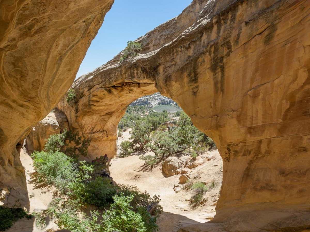
Red Mountain Moonshine Arch is a challenging and highly scenic 18.8-mile loop designed for experienced offroaders seeking demanding slickrock obstacles and stunning views of the Uintah Basin near Vernal, Utah. This route climbs over 3,400 feet, rising from an elevation of 5,532 feet to a peak of 7,739 feet, taking drivers through a diverse playground of sandstone domes, steep ledges, and deep sand washes. Designed for highly capable four-wheel-drive vehicles, SxSs, and ATVs, the trail demands excellent ground clearance, aggressive tires, and locking differentials to conquer the technical rating 8 obstacles. The journey begins with a steady ascent up Red Mountain's rugged mesa, where drivers navigate off-camber rock faces and tight technical lines while enjoying panoramic views of Steinaker Reservoir below. After traversing the mesa's scenic rim, the route descends through challenging rocky steps and sandy corridors toward the iconic Moonshine Arch, a massive 40-foot natural sandstone arch that makes for a perfect rest stop. The terrain consists of a mix of slickrock, loose rock, dirt, and sand, making tire pressure management crucial for maintaining traction on the steep climbs. The trailhead features a large dirt parking lot with ample space for trailers and restroom facilities, located just a short drive north of Vernal off Highway 191. This trail is best ridden from late spring to late fall when the route is free of snow, though summer temperatures can be intense, making early morning starts highly recommended.

Photos of Red Mountain Moonshine Arch

Technical Rating

8

Status Reports

Add Status Report
Braden Hartman
May 02, 2026
Open
Rough/Deteriorated
Took the bikes up, familiar with the trail but was unaware that if you do the full loop you will come to a section that has been fenced off. We used to ride this section for years, not sure why all of a sudden it’s fenced. Anyway we had a hard time finding the new route past the fence as it was getting dark so we turned back and road the pavement back to our trucks. Not recommend but we didn’t want to get backwards in the hills with no head lights. I’d be nice if the trail was updated on ONx.
Jon Reid
Nov 08, 2025
Permanently Closed
Braden Hartman
Jun 21, 2025
2022 Can-Am Commander Max 1000R
Open
NormalRough/Deteriorated
Started at the west trail head, rode to the cabin then down the east side. A lot of the steep ledges are getting pretty torn up at the base, there are bypasses for the really torn up ones. Only had to pull line once due to a tire hang up. Not a trail for stock or mostly stock jeeps, most SxS will do fine.
Jason Kummer
May 25, 2025
2021 Kawasaki Teryx KRX 1000
Open
DustyRough/Deteriorated
NEW 1 MILE NO TRESSPASSING SECTION. As you leave Steinecker State Park headed Southwest (towards Docs beach/Taylor Mtn. road) about a 1 mile section of the power line road has been LOCKED UP by the land owner and marked "NO TRESSPASSING". There has been a new trail section cut to go around this locked up area. Once your on the power line road, turn left, go thru the rough, rocky section. At the top of the hill turn right (Orange flags marked this part of the route the day I was there. This new section is best for a SXS, ATV or decently equipped jeep maybe. A stock pickup truck would have a really bad day here. It requires some mild rock crawling along with some sand sections. It's a fun addition, but it's sad to see the main thru road that's been open forever be locked up.
Matt Centeno
Nov 22, 2024
Open
Normal
Trail has some washed out sections close to docs beach but overall in good shape. Little snow patches towards the top but just a light layer. Came looking for a lost Apple Watch, if anyone finds one let me know
Gary Hartling
Oct 06, 2024
Open
possibly the best trail ever, and i've done alot. i did it clickwise. may not have been able to do ot counter clockwise.
kellen henderson
Sep 06, 2024
Open
Normal
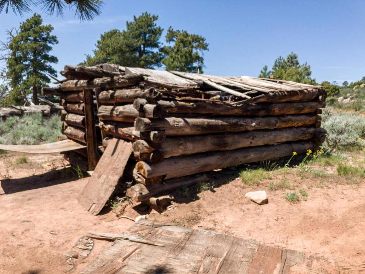
We entered at the north entrance. Most of the trail is easy, but the northern section gets difficult in sections with larger drop offs and climbes. The views from the top are worth the effort though. There is an old wood cabin and some rock formations for kids to play in and around. The trail to the arch is simple and a must for the trip.
Jeffrey schafer
Jun 08, 2024
Open
Dusty
This may be a 8/10 rating for an atv or sxs, but it is a 2wd trail for a purpose built rock crawler. We didn’t come across anything that could’ve been an issue.
John Molitor
Oct 14, 2023
Open
NormalRough/Deteriorated
Jay Stokley
Aug 22, 2023
2020 Jeep Wrangler
Open
Rough/Deteriorated
Wyatt Seybold
May 26, 2023
Open
Normal

Red Mountain Moonshine Arch Trail can be accessed by the following ride types:

  • Single Track
  • 50 Inch
  • 60 Inch
  • High Clearance
  • Full Width

Access Description

The route is located on public Bureau of Land Management (BLM) land and is open to OHVs, ATVs, SxSs, and highway-legal four-wheel-drive vehicles. No fees are required to park or use the trails, but out-of-state OHV owners must purchase and display a valid Utah non-resident OHV permit. The route is best accessed from late spring to late fall, as winter snows can make the higher elevations impassable.

Red Mountain Moonshine Arch Map

The onX Offroad Difference

onX Offroad combines trail photos, descriptions, difficulty ratings, width restrictions, seasonality, and more in a user-friendly interface. Available on all devices, with offline access and full compatibility with CarPlay and Android Auto. Discover what you're missing today!

Open Trail Map