Trail Overview
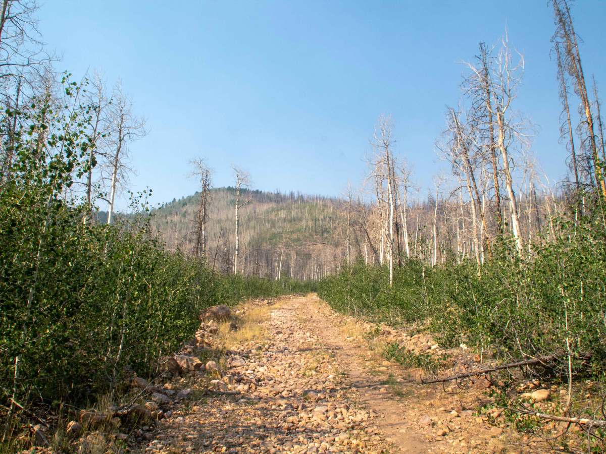
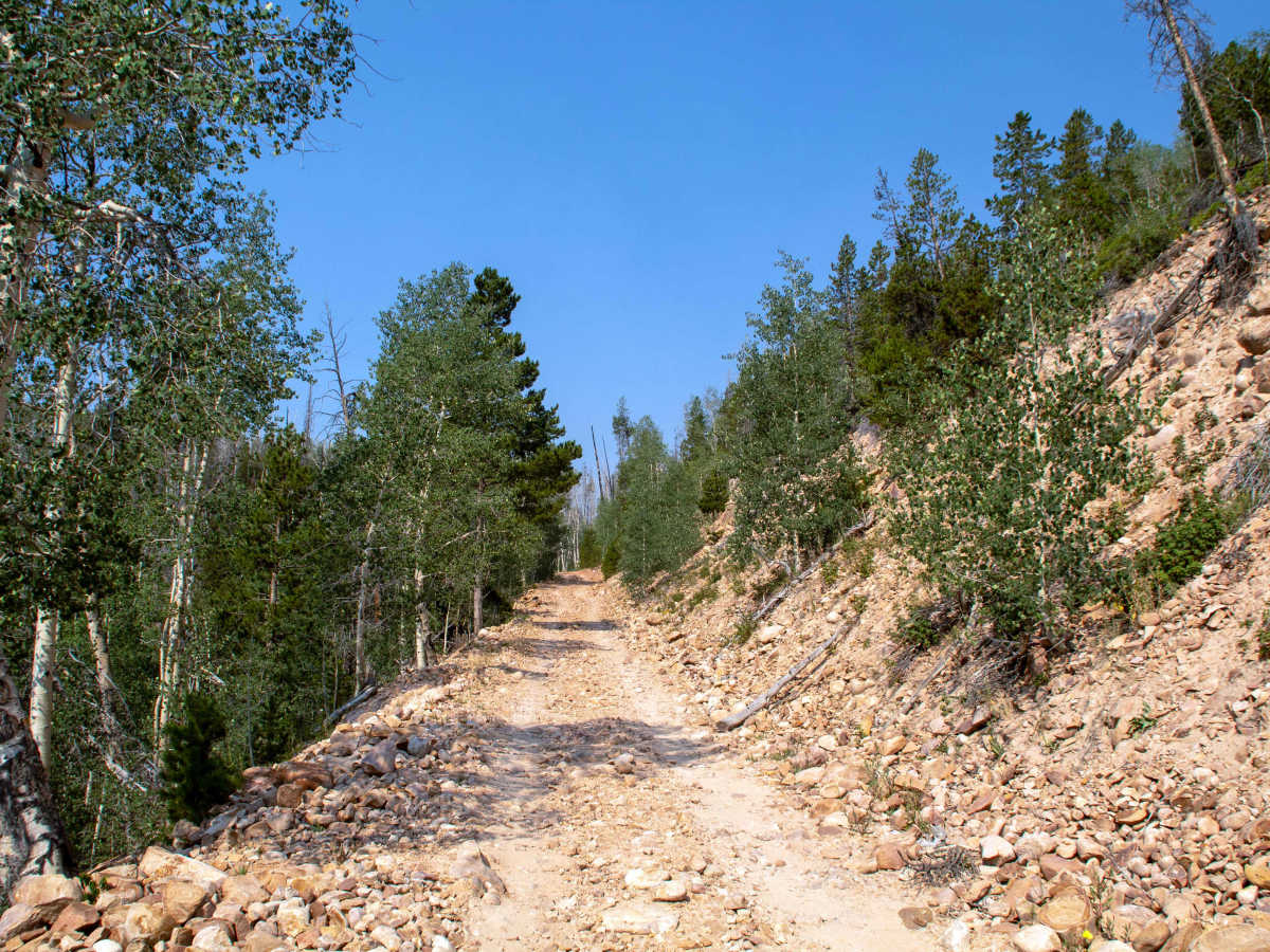
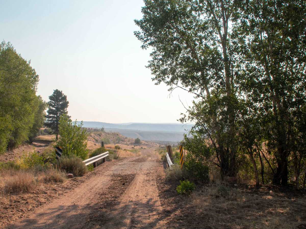
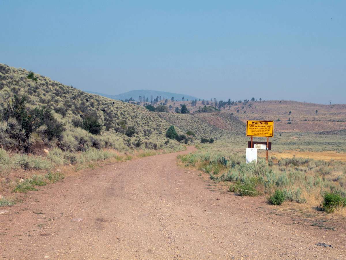
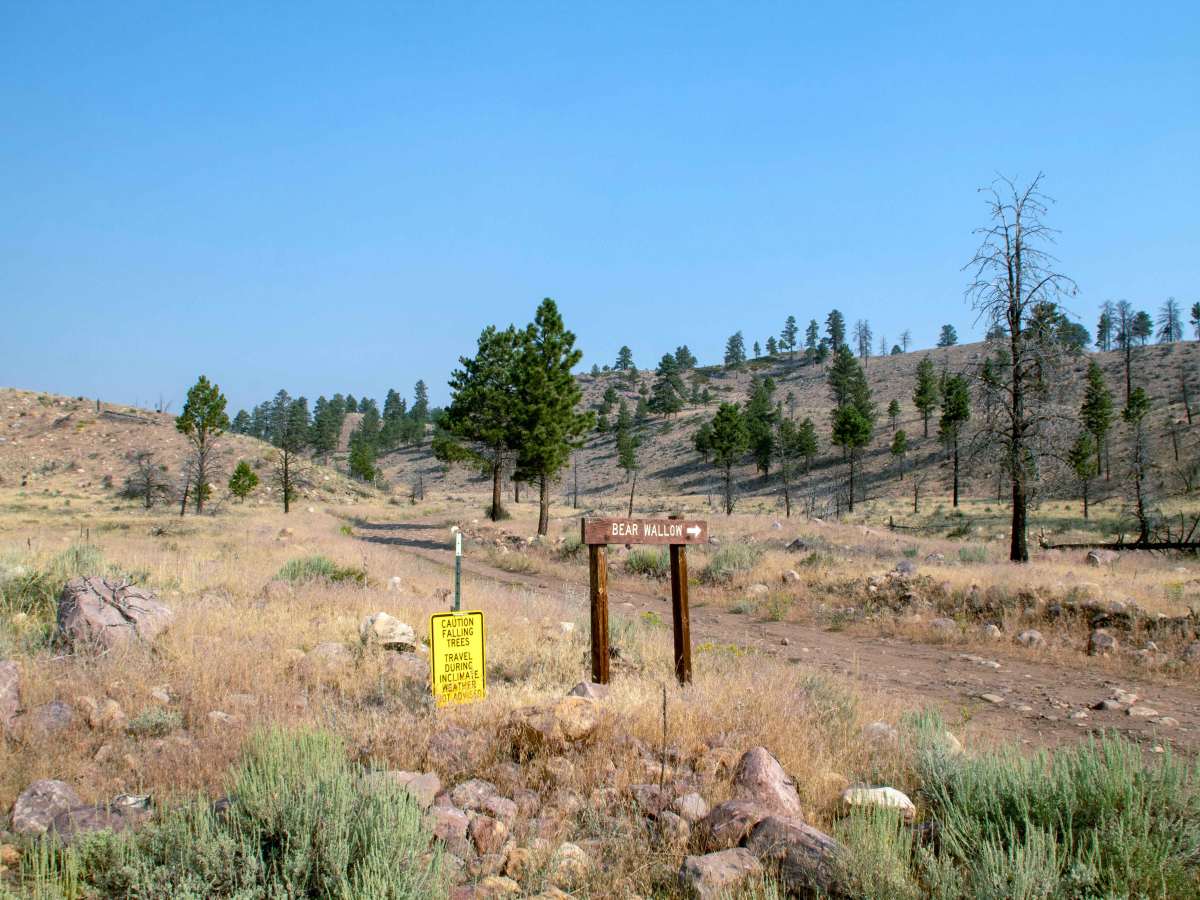
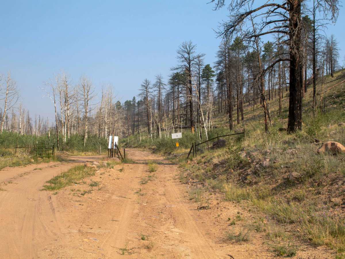
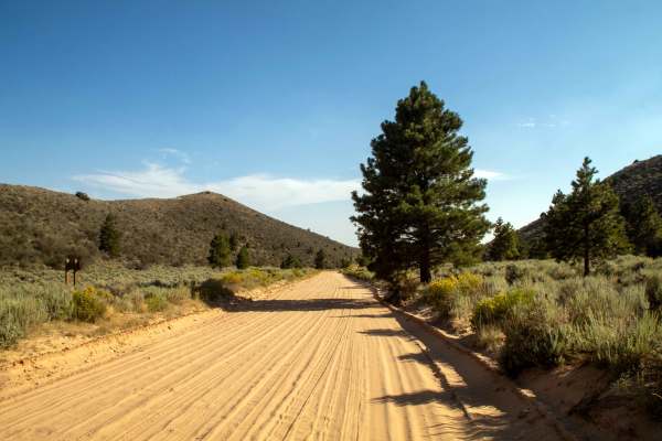
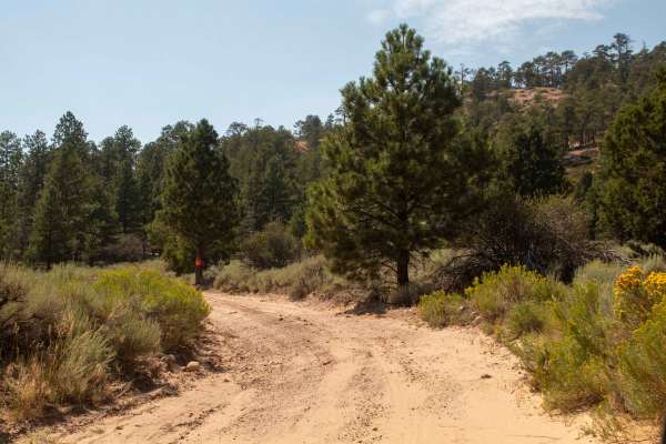
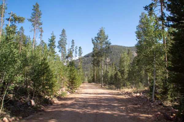
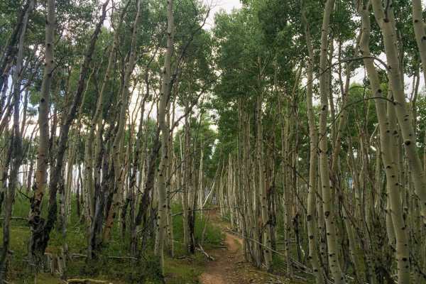
This trail branches off of Moon Lake Road and climbs up to Dry Ridge Road. This trail starts in decent condition until you reach national forest land, where it becomes rougher and rockier, making it very slow-going as you climb. At the end of this trail, it connects to Dry Ridge Road, leaving you about 1.5 hours from reaching the top of Dry Ridge Road. This trail is open to all vehicles once on national forest land, but on Indian Reservation land, ATV, SxS, and dirt bike use is prohibited, with there being a small parking area just past the cattle guard when you cross into Ashley National Forest, where you can park and unload before the trail becomes rough. This trail also has no set seasonal closure date, but may be impassable at higher elevations due to deep snow during the winter and spring months. This trail runs through the East Fork burn scar from back in 2020, so the trail should be avoided during heavy rain, and fallen trees should be expected in the early summer months.