Trail Overview
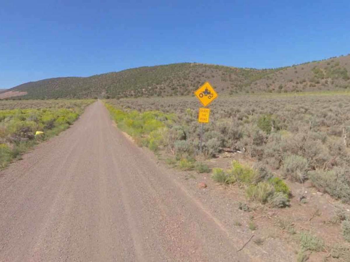
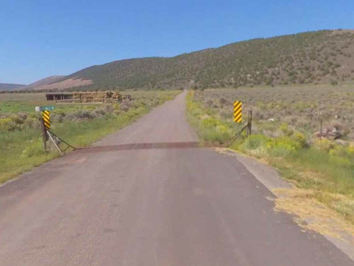
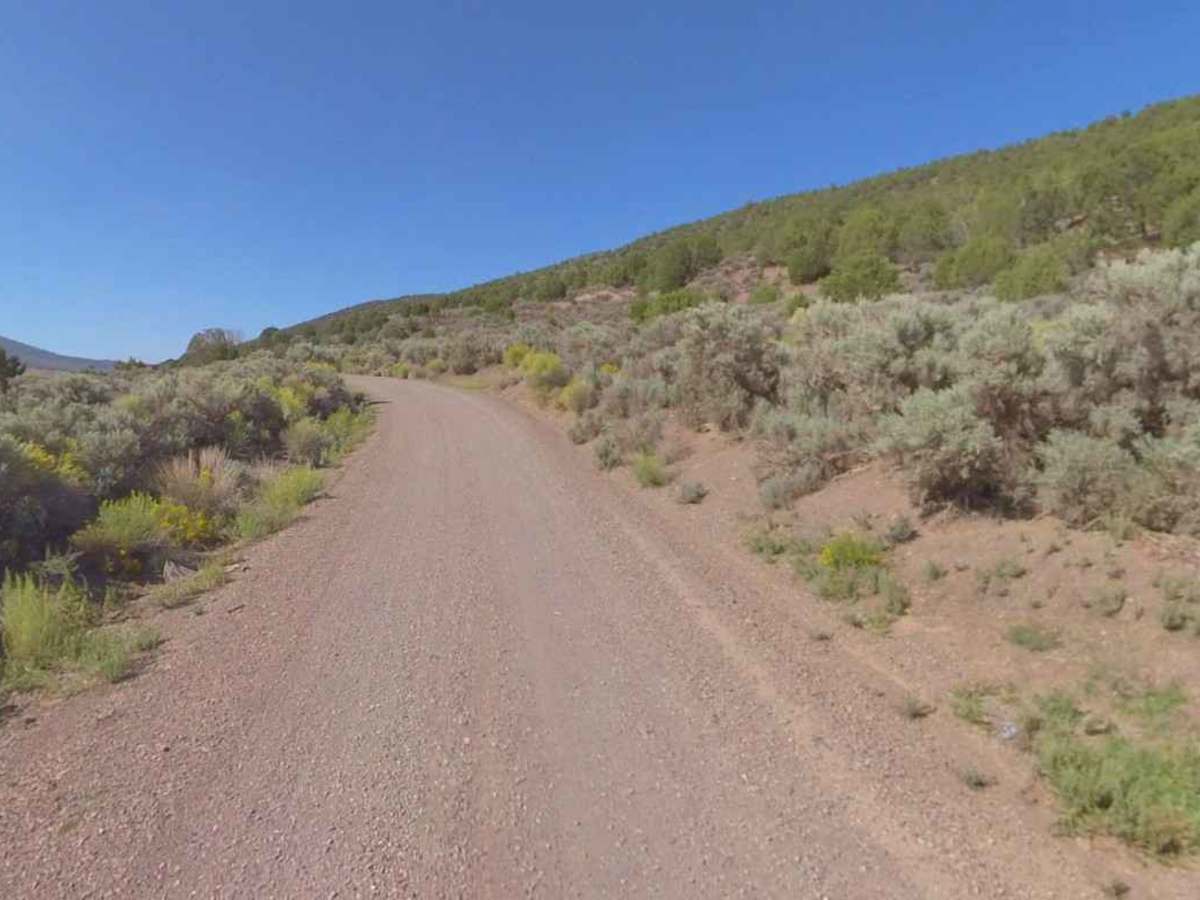
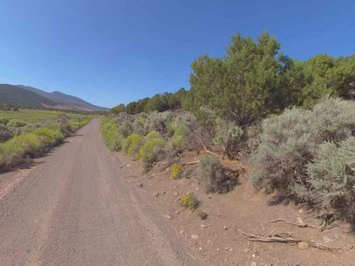
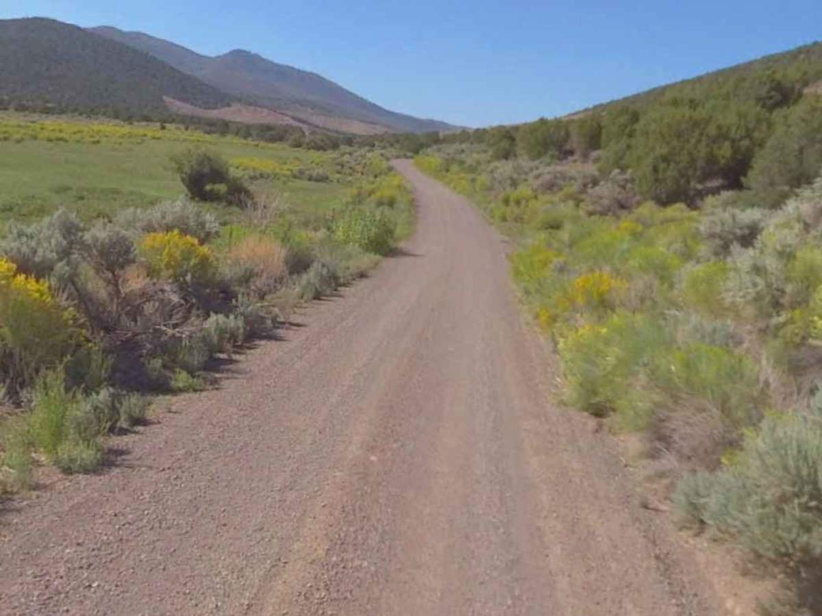
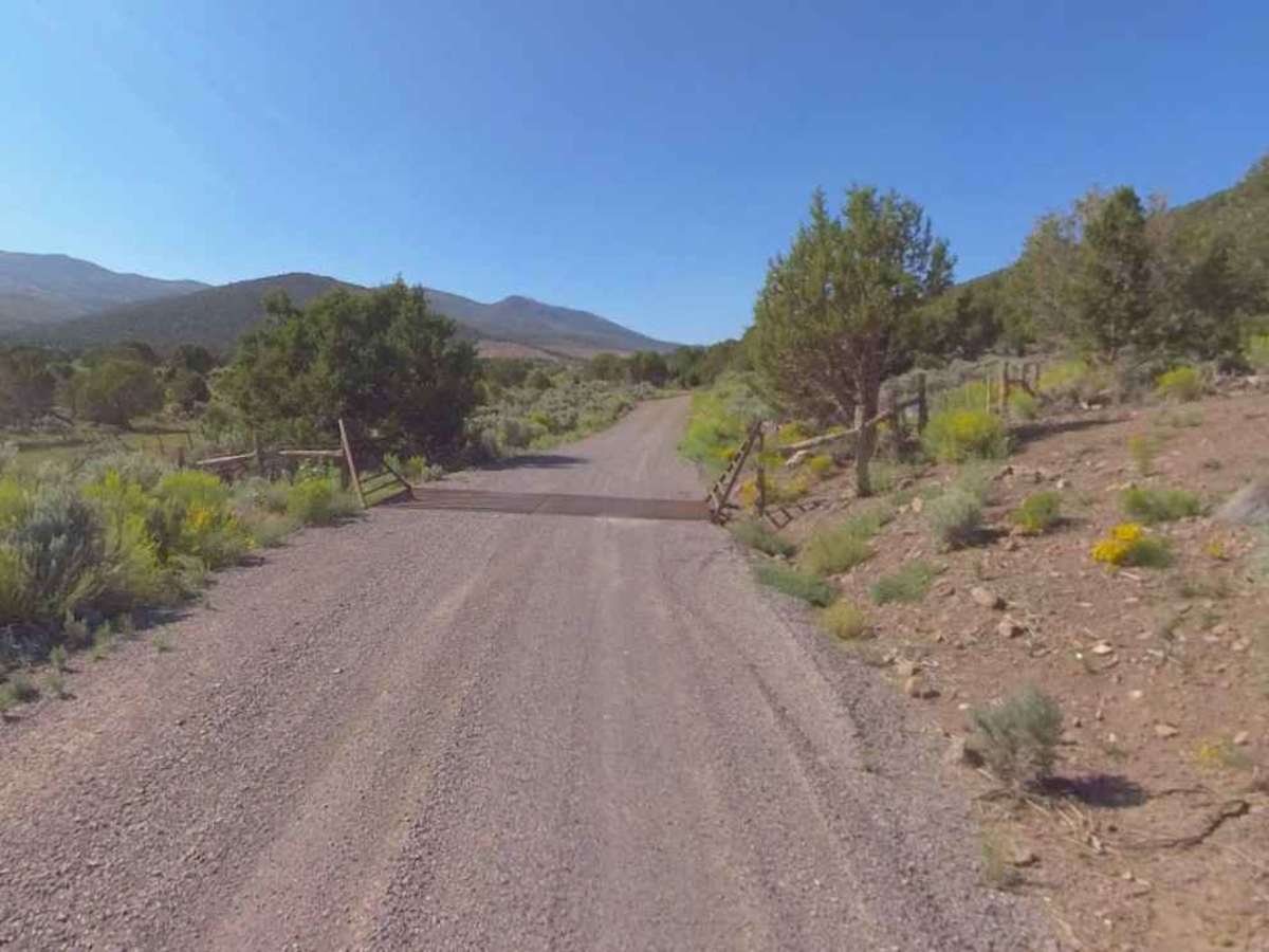
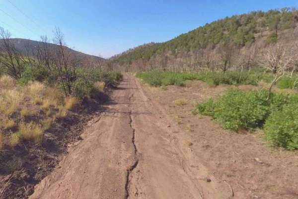
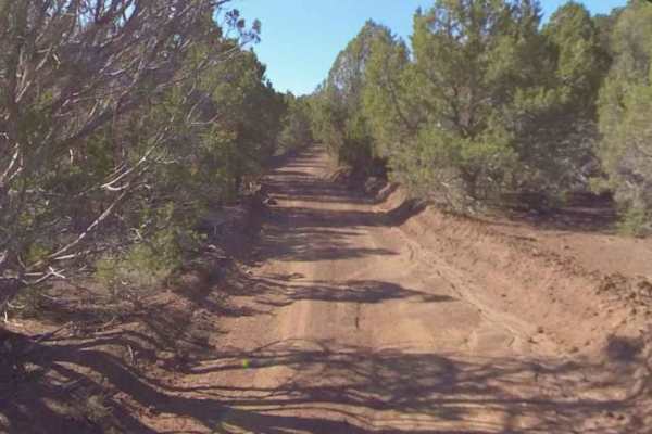
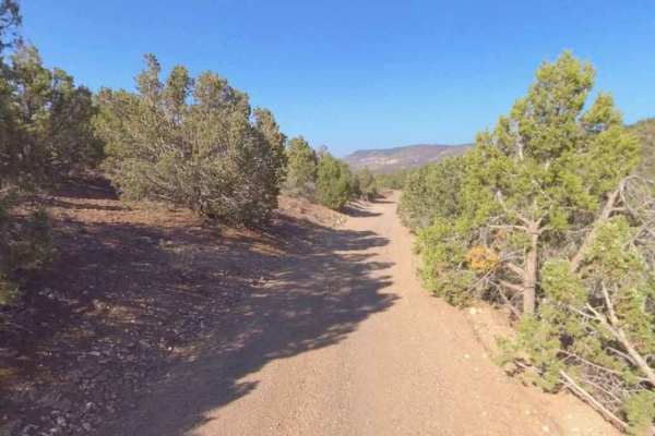
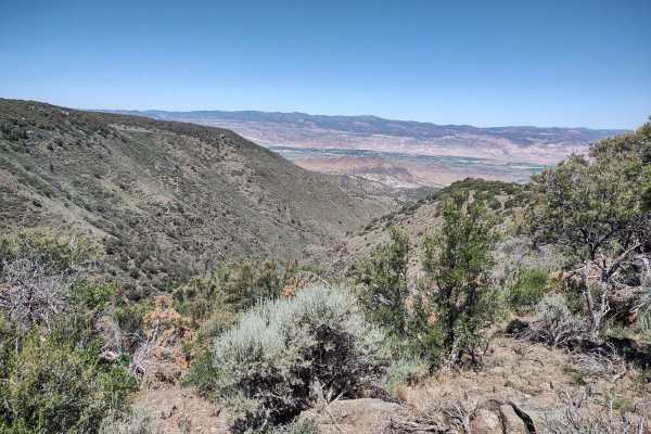
Bear Valley Road is a 10.5-mile point-to-point trail rated 1 of 10 located on the western side of the Mormon Mountain. This is a well-graded and maintained Sevier County Road suitable for travel by all types of vehicles. The southern end starts at the cattleguard in Burrville and extends north, crossing through BLM, private property, and Utah State Trust Land, and ends at the intersection with State Route 24. Bear Valley Road provides access to the Koosharem Reservoir Recreation Site on the south side of Mormon Mountain and provides trail access over the ridge to State Route 24 and the Koosharem Reservoir. This road is open to all vehicles, and when snow covered in the winter, it is open to snowmobiles as well. Due to the private property on the south end, there is limited access to the Fishlake National Forest. Once north of Mormon Mountain, there are several trails that can be used to access the national forest. Many of the side trails in this area are also part of the Paiute Trail system. Cell phone service is intermittent. Fuel options are limited, with most major brand stations available in Richfield along Interstate 70. Trailer parking is available in a lot at the north end of the road (across State Route 24).