Trail Overview
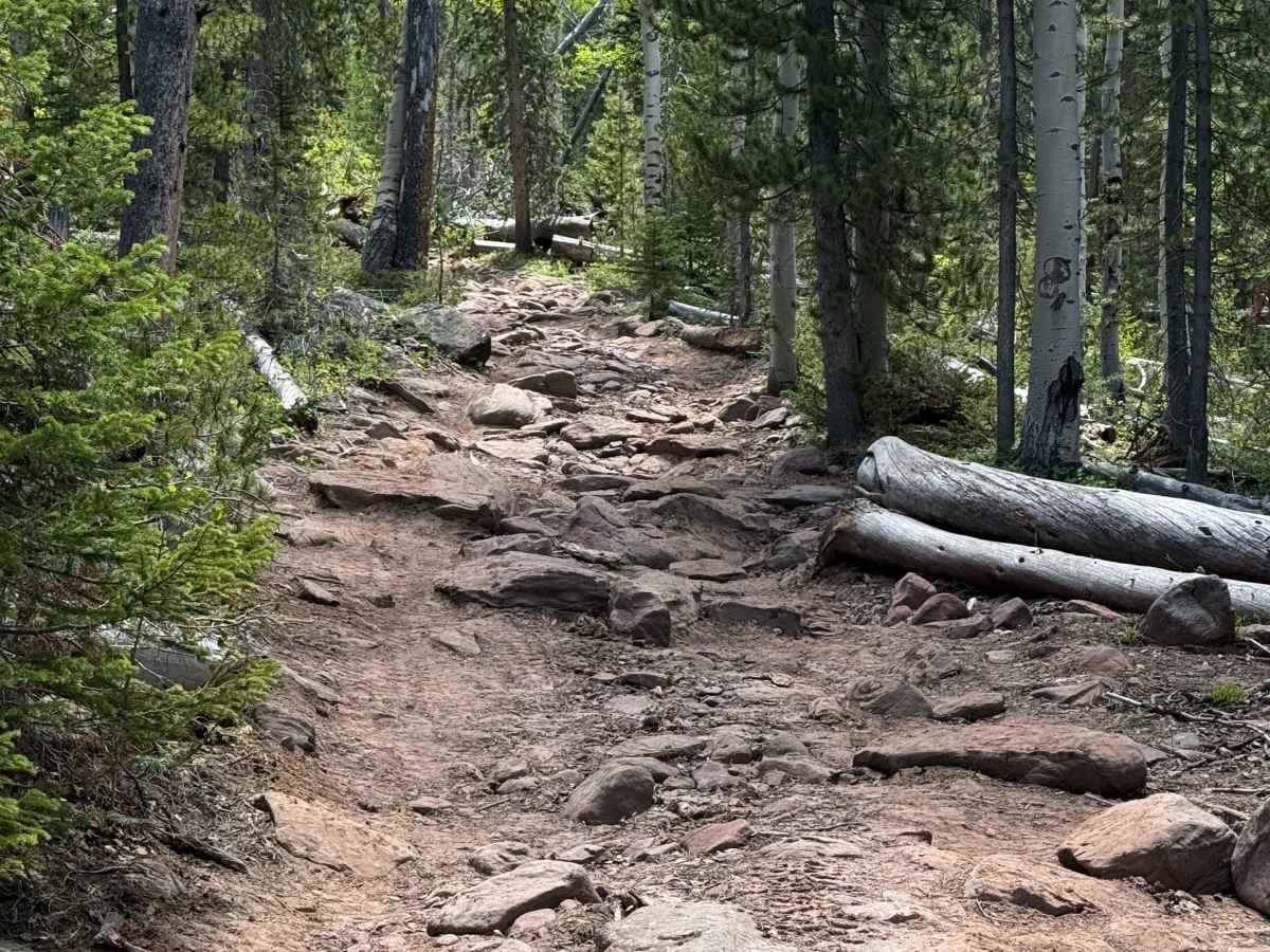
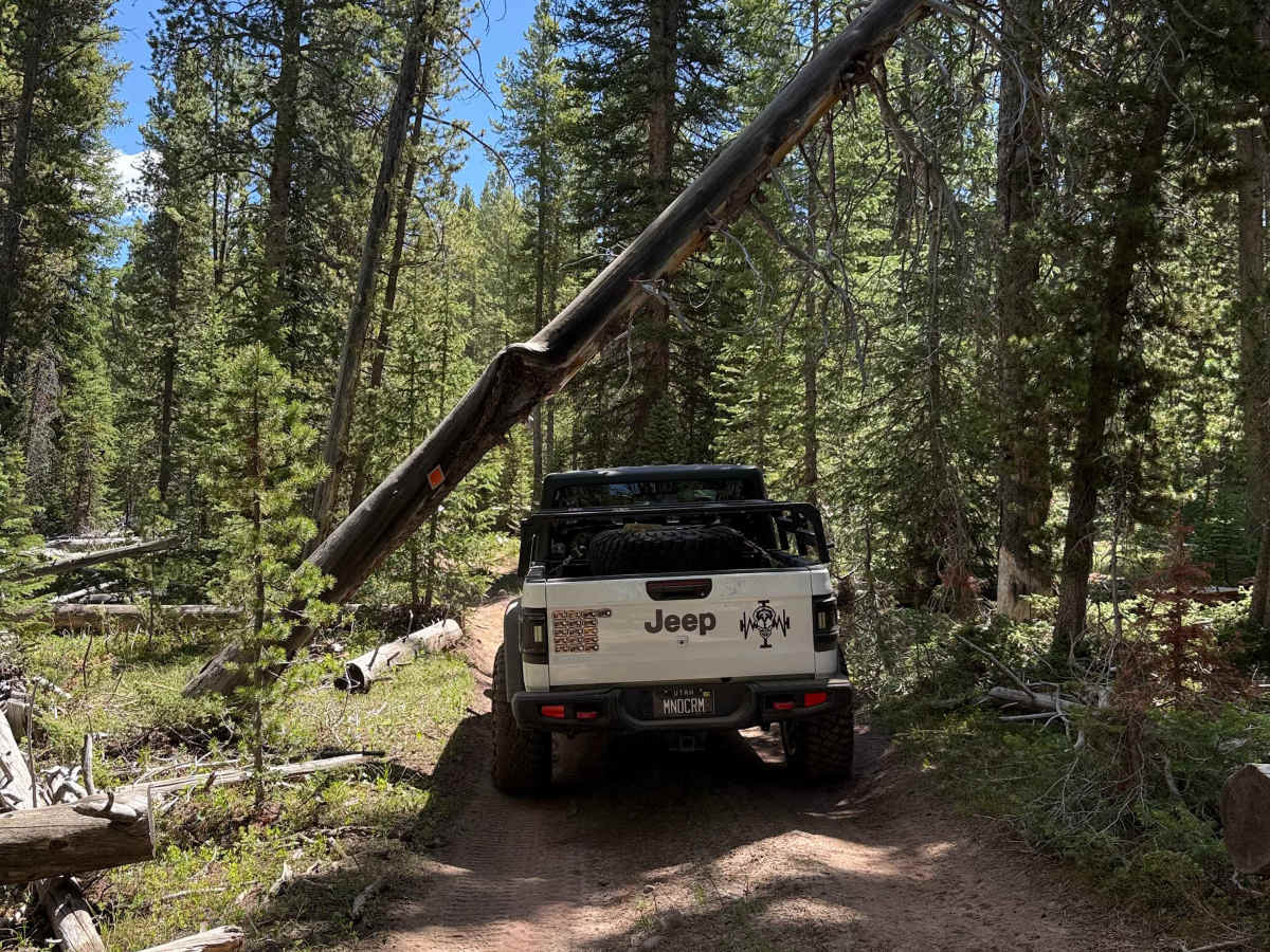
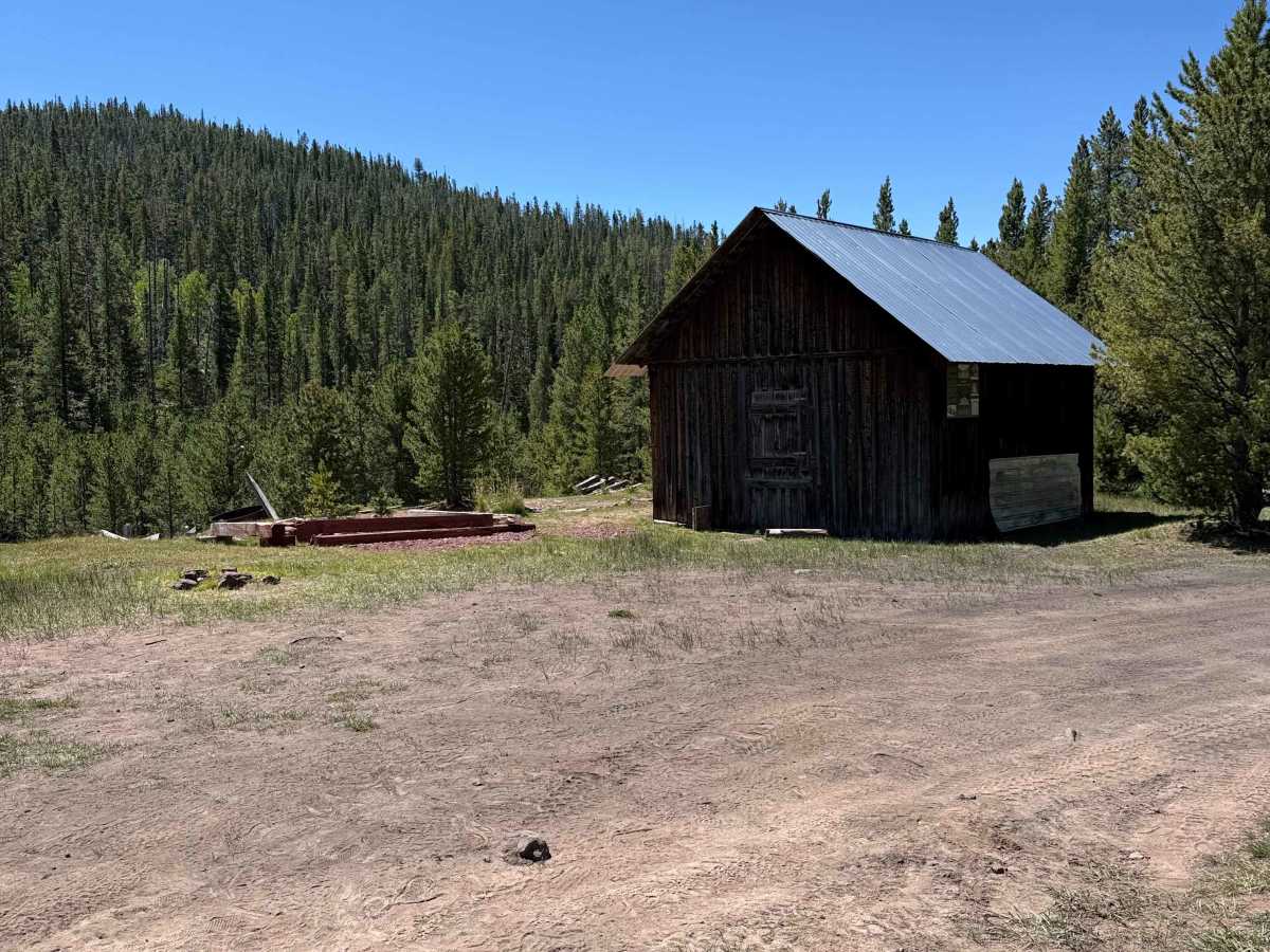
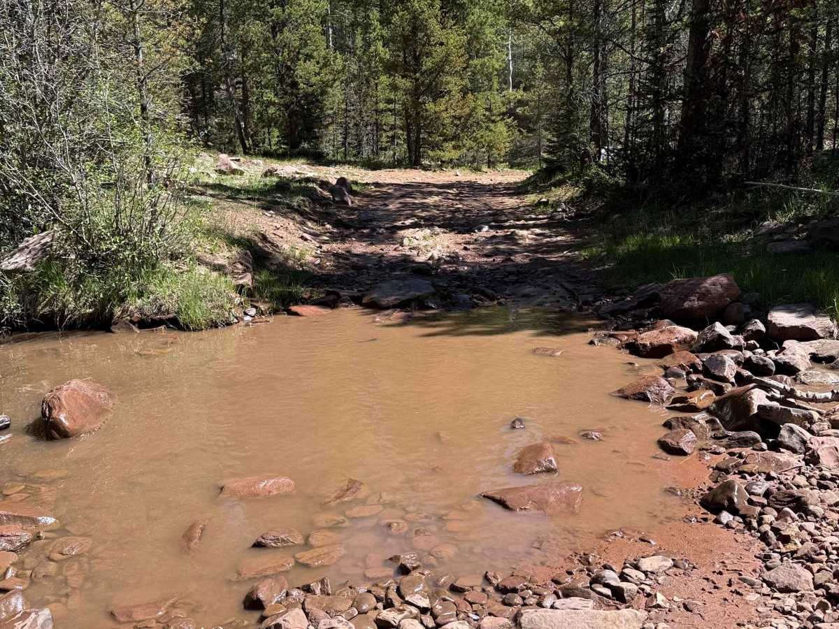
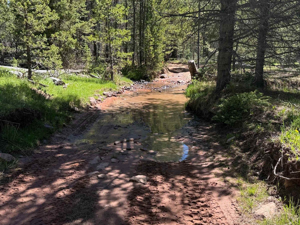
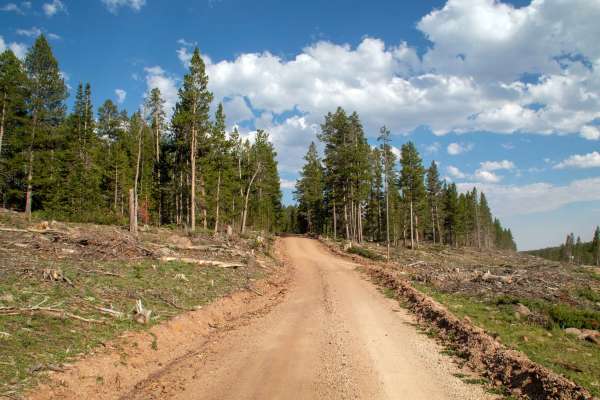
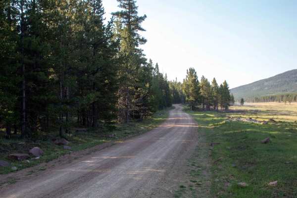
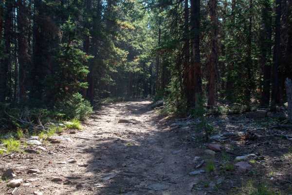
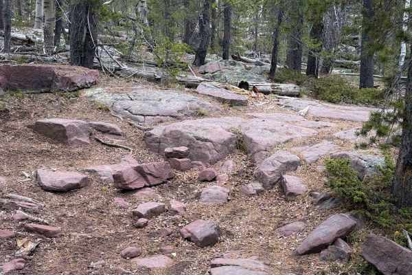
Anderson Creek (FSR 035) is a spur trail off Red Cloud Loop. The first section follows a forest road up to an old mining camp, where you can explore old mining relics from the 1800's, including a cabin. Beyond the cabin, the trail becomes more difficult. There are several fairly shallow river crossings, which can be higher and more challenging depending on the time of year. After the river crossings, you'll begin a steep climb out of the creek through a rock garden until you reach the top. At the top, there are two options for exiting and returning to the main road. This trail is extremely pretty as you traverse through the forest- keep your eye out for deer and elk. Best run in mid to late summer as the trail can be impassable with snow. Recommend 35-inch tires and tools to clear the route, as fallen trees are common.
History
The Dyer Mine started operations in the mid-1880s, mining for copper, with the smelter entering operation in 1900, only operating for a couple of years before the company dissolved and the mining operations and small town were abandoned. In 2020, the property of the mine was donated to Uintah County, which keeps the smelter open to the public.