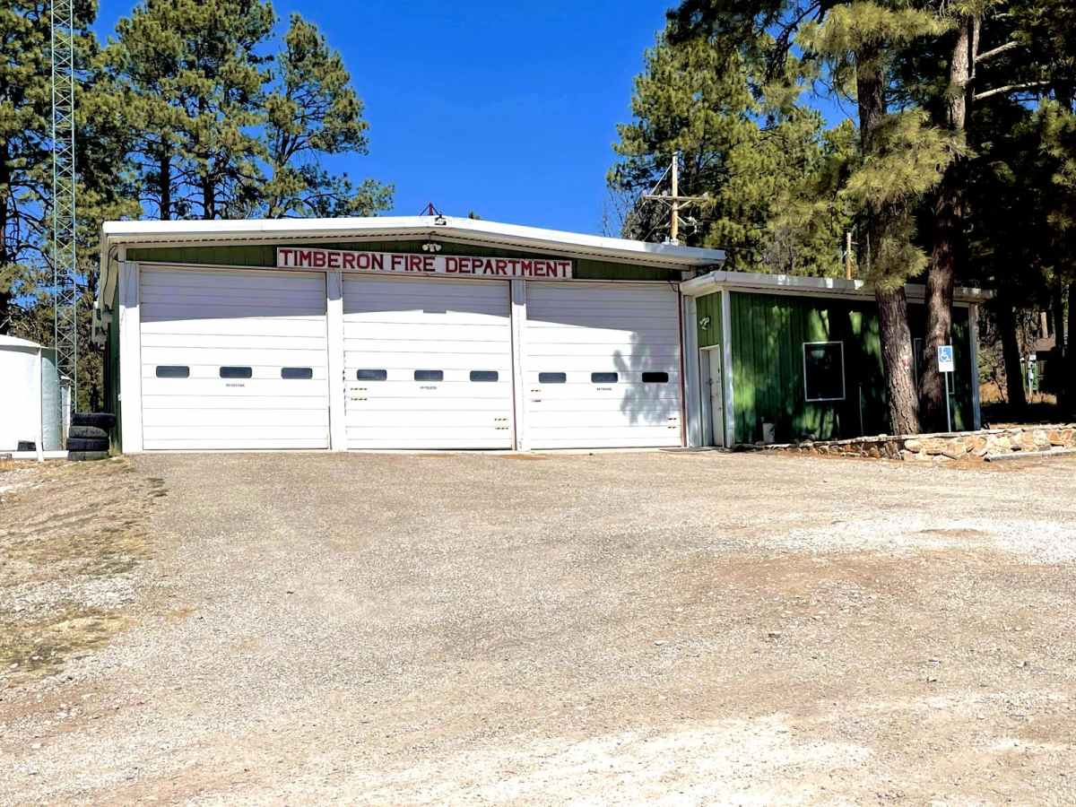
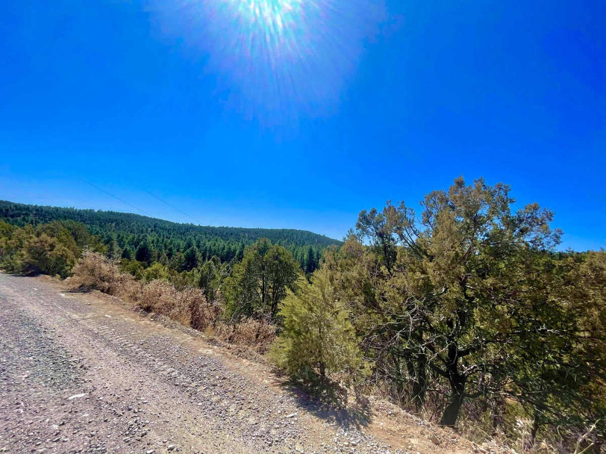
Timberon Overland Express

Total Miles 79.9
Technical Rating
2 Easy
Best Time Spring, Fall
Trail Type Full-Width Road
Accessible By
Open Trail Map

Trail Overview

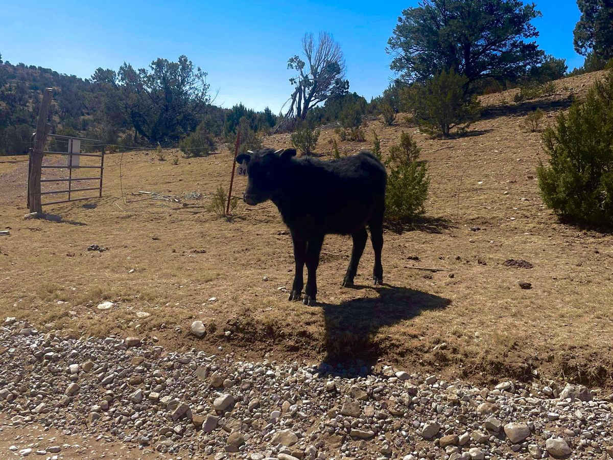
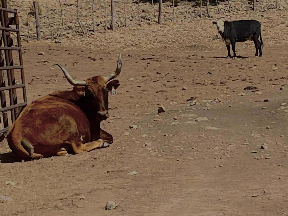
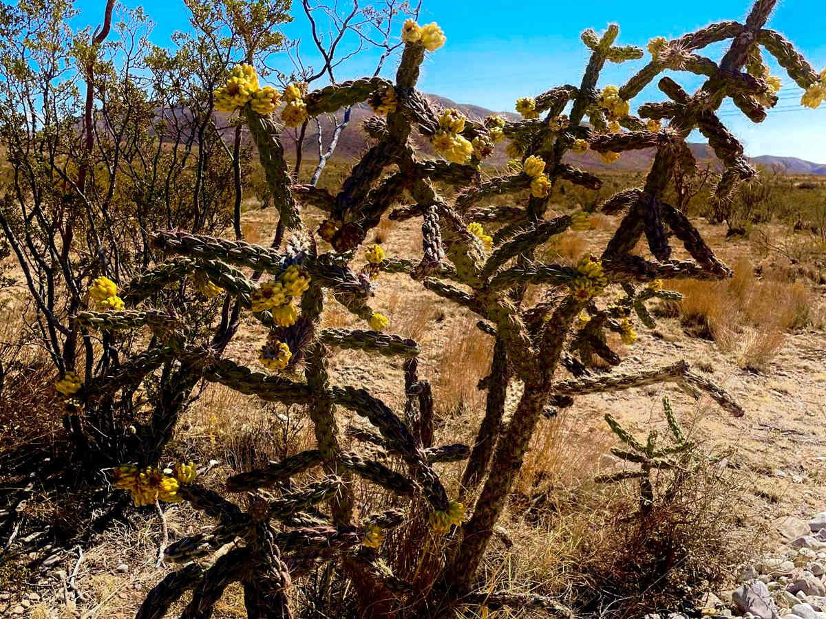
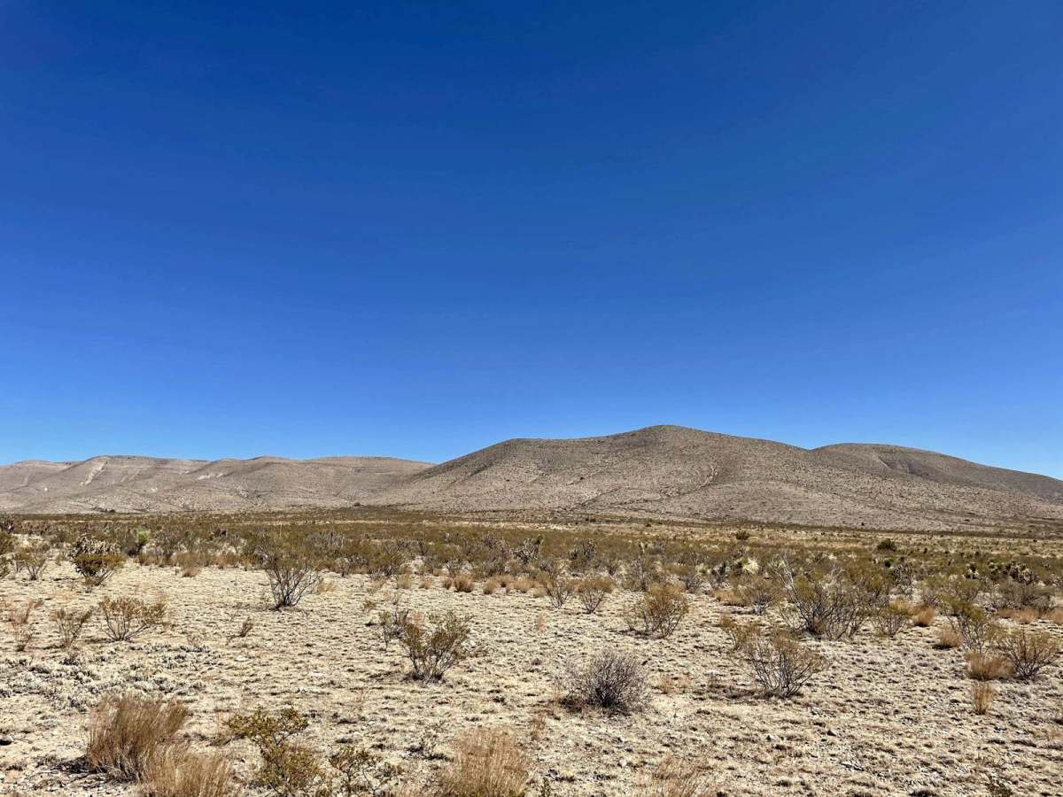
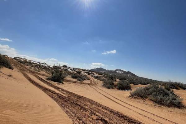
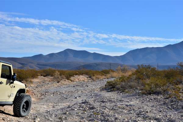
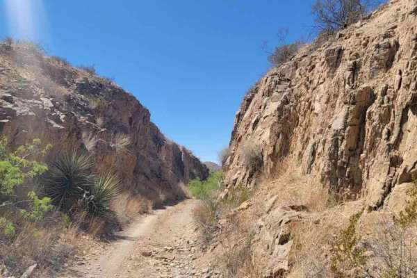
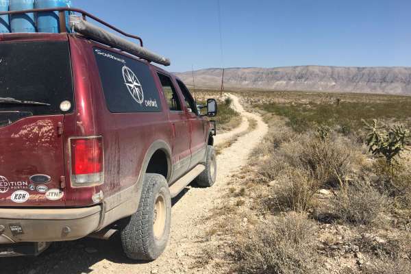
The Timberon Overland Express is a great way to get a taste of overlanding without much preparation. The route can be run in either direction, as the entire trip is on county roads which cross state lines between New Mexico and Texas. You will cross through private ranch land, BLM lands, the Lincoln National Forest and Fort Bliss training grounds. Starting from Texas, you will be greeted with vast and expansive lands; wide open for as long as the eye can see. The roads on the Texas side and much of the New Mexico side are maintained dirt roads, however after rain and snow they become flooded in some areas and impassable, check the weather when traveling. Once you are in the foothills and mountains, you'll cross many washes which will be flooded and a few shelf roads must be traversed to get to the village of Timberon. 4x4 is not required in dry conditions, high clearance is needed in the foothills and mountains as this area is less traveled, and the road consists of large rocks. There are no services and no cell phone coverage for the entire the route. Cell phone signal will return once closer to the Village of Cloudcroft NM, some 22 miles north of Timberon.

Photos of Timberon Overland Express

Difficulty

90% of this trail is easy when dry, with properly aired-down, and heavy sidewall tires. The last 10% of the trail goes through canyons, washes and shelf roads. While all still county roads, after rain and snow they become slick, and sometimes unpassable for smaller crossover based vehicles.

Technical Rating

2

Status Reports

Add Status Report
Noah Goodrich
Jan 31, 2026
Open
Southern end of the trail has some unavoidable mud pits but nothing terrible. I locked into 4WHI just in case because I was out alone. Majority of the trail is solid with some stretches being all dried out mud which could be a problem without higher ground clearance. Snow was almost completely off the trail on the north end. As you drive into Timberon there is some damage on the road from recent weather but passing through is no problem.
Rachael Jernigan
Oct 04, 2025
Open
Terry Day
Aug 02, 2025
Open
The trail is straightforward. It's an easy drive, and we didn't need to switch to 4WD during the trail. I would recommend fueling up. I didn't see a gas station nearby. I have AT&T I didn't have cell phone service the entire trail.
Ryan Traphagan
Jul 17, 2025
Open
The trail was long at just around 80 miles. It follows a mountain wash down from the mountains in NM. It weaves through the washes multiple times so it is rocky when try, but probably difficult or impassible during rainy or snow melting seasons. As the overview says, it goes through multiple land types (BLM, Private, etc..) However, when it goes through Fort Bliss and State Land there are old signs saying stay out because of live fire, but there are cows out there. Later, with some research, I discovered that it is fine to go through there, but you are required to stay on the road. So there is little to know diverse camp sites on this trail (some on BLM land on the north part). On both the north and south ends, it is gravel and I would not air down as you may be going faster, but when you hit the rocks, airing down is probably a good idea. This is an ok trail, glad I saw it, but I would not go out of my way for it.
Dustin M
Jul 12, 2025
Open
Trip was a beautiful, smooth easy ride on my duel sport. I started early morning and drove out 50 miles then back. lots of critters, cows. Otero deputies were cruising through the area about 2 hours in while I was snacking some beef jerky. They stopped to make sure I wasn't stranded. Real nice fellas, we shot the chit about 20 min and went on our way. No cell service at all but had my GMRS radio with me for weather and emergency. Better than nothing. if you're riding bike or quad 100% bring enough water. It would be nice to ride out further next ride and maybe with more people. Overall I'll be going many more times and branching off to explore new places.
sergio ortuno
Apr 14, 2025
Open
Great option! from the desert to the woods
Hunter shearer
Jan 28, 2025
Open
Michael Muñoz
Nov 02, 2024
Open
Decent dirt road. Pretty long but has amazing scenery. You drive through and by a couple of Ranches so be cautious of the cows free roaming. You end up on the south side of Lincoln National Park with a hard road to multiple different trails. Horses and cows free roam the whole area so be aware
Chris k
Jul 29, 2024
Open
Sam Santiago
Jul 09, 2024
Open
Martin Lubo
Jun 16, 2024
Open
you can see a lot of cows. passes through a hunting area that then becomes a private property area on the bottom of timberon but just stick to the road and we are golden. you can see the environment turn from dirt to large desert trees to the actual Lincoln national forest. not much to see, but easy unpaved dirt road.
Luke Peacock
Mar 16, 2024
Open
Didn’t do the entire length but this is as easy of a trail as it gets. Essentially just a dirt road.
F D
Mar 15, 2024
Open
1st time trying this trail and it was a great experience. Will be back!
Charles Gonzalez
Oct 21, 2023
Open
Raymond Rumpf
Sep 17, 2023
Open

Timberon Overland Express Trail can be accessed by the following ride types:

  • Single Track
  • 50 Inch
  • High Clearance
  • Full Width

Timberon Overland Express Map

The onX Offroad Difference

onX Offroad combines trail photos, descriptions, difficulty ratings, width restrictions, seasonality, and more in a user-friendly interface. Available on all devices, with offline access and full compatibility with CarPlay and Android Auto. Discover what you're missing today!

Open Trail Map