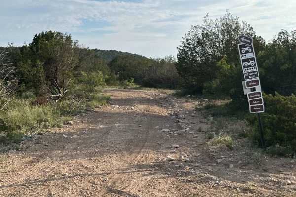
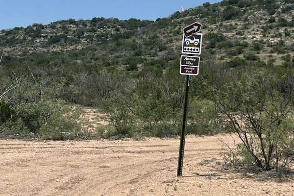
Trail Overview
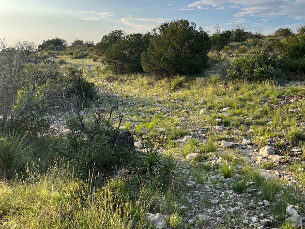
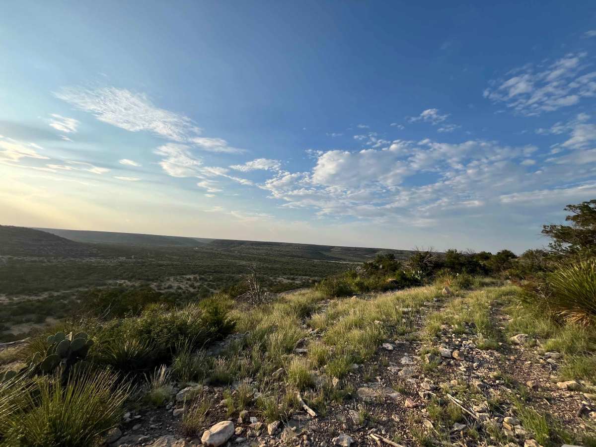
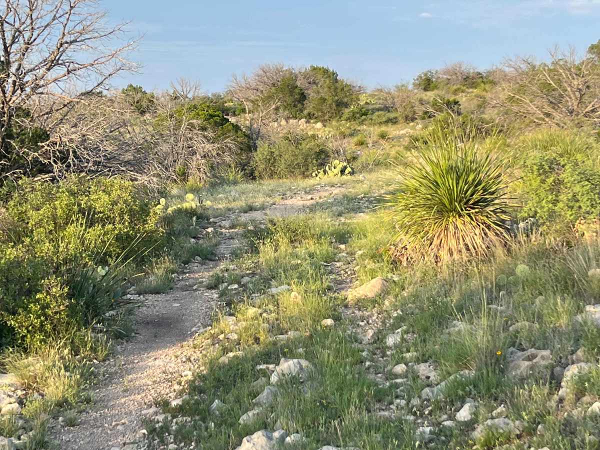
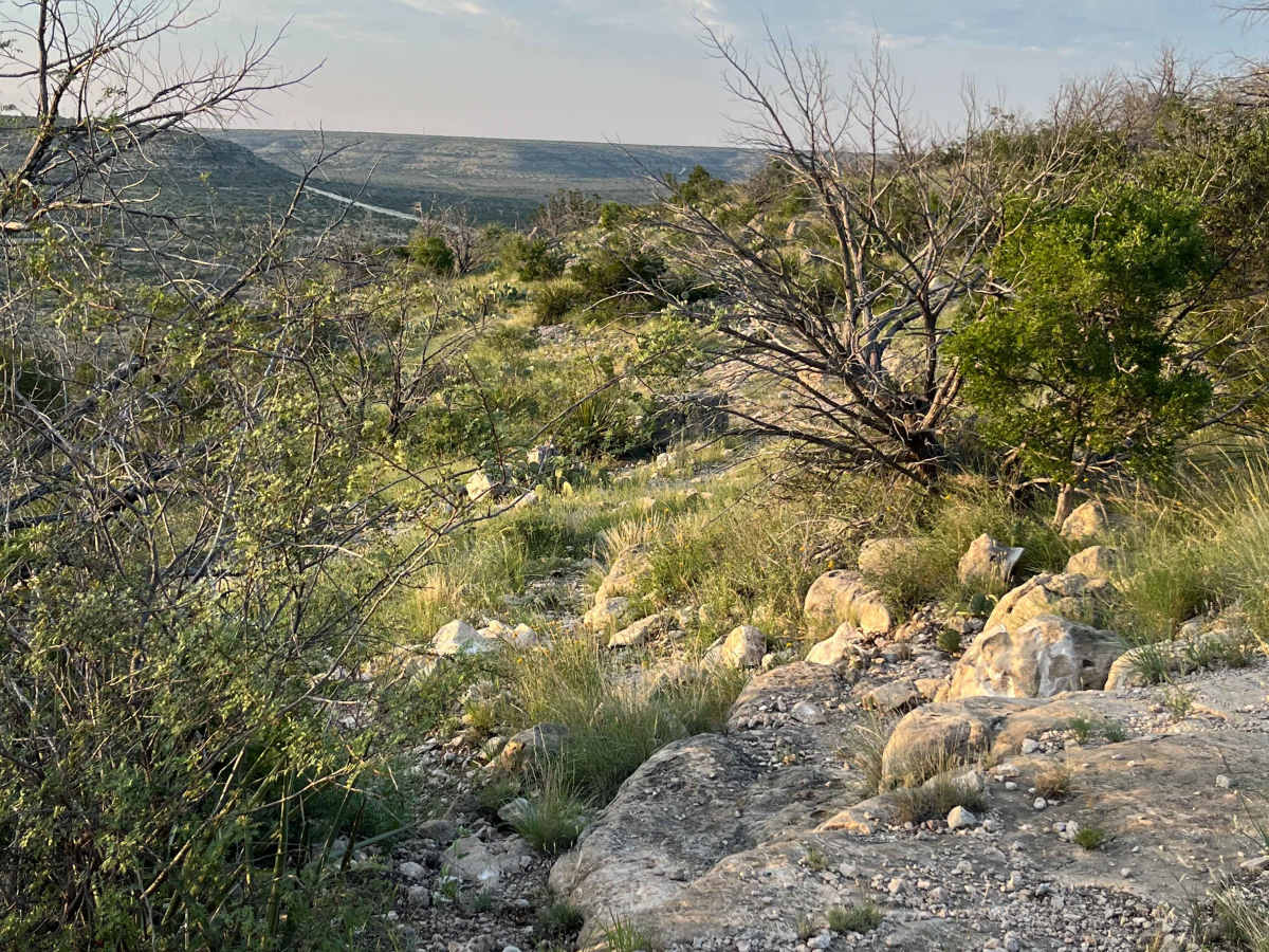
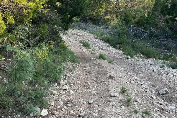
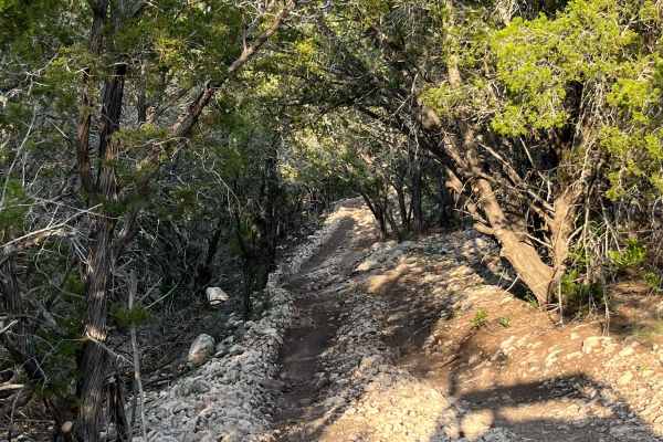
The Southeast Rim Trail is a scenic and rugged 2.5-mile track in this park, featuring an overall elevation change of 250 feet across its length. This route runs close to the property line fence, offering wide open views, beautiful sunsets, and glimpses of the surrounding terrain and wildlife, including grazing cattle. Trail surfaces range from dirt and grass near the fence sections to exposed, rocky, and uneven ascents and descents along the rim.
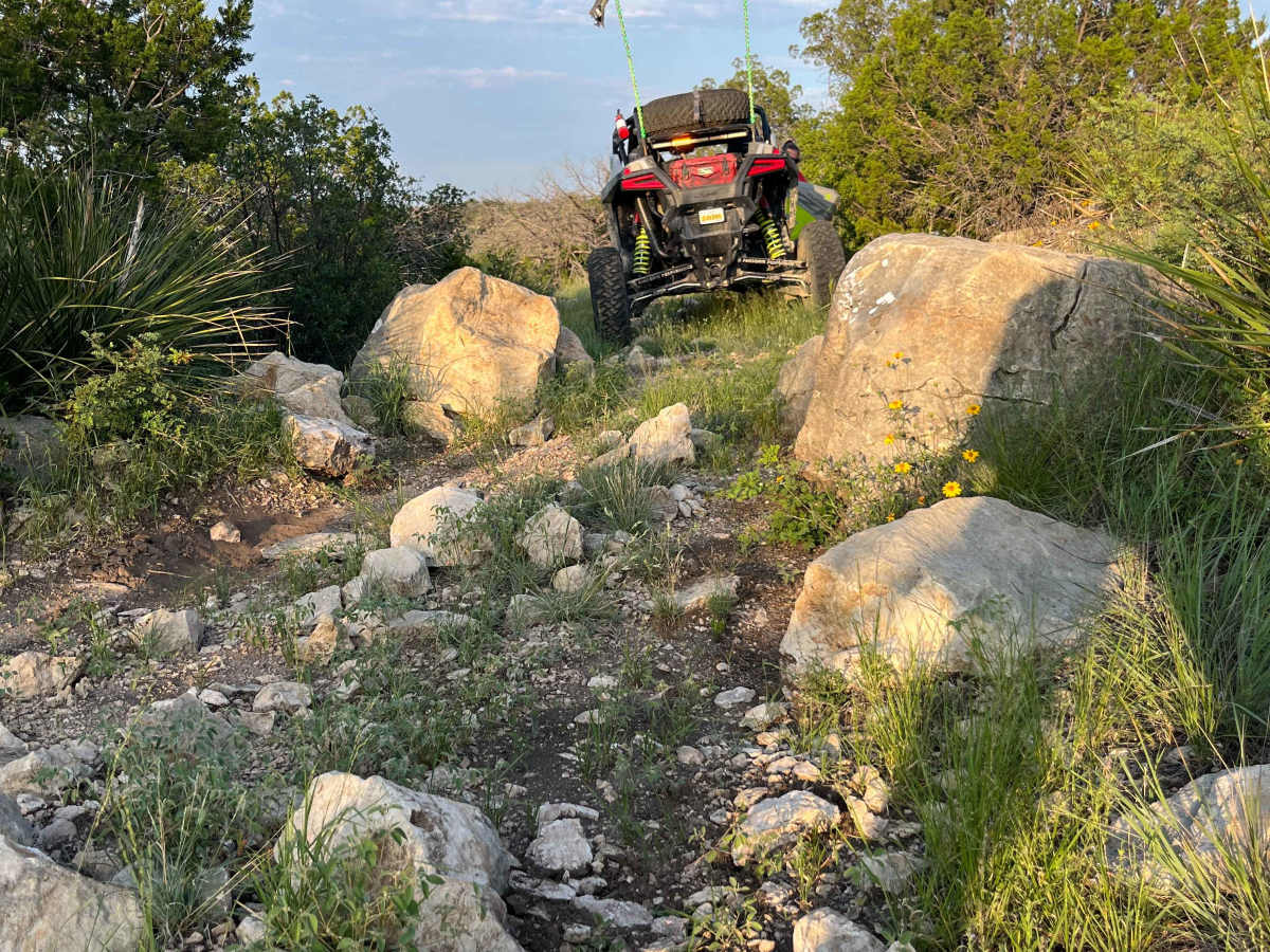
A signature landmark on the Southeast Rim Trail is a tight squeeze between two prominent boulders, which requires a high-clearance vehicle and four-wheel drive to navigate safely. Throughout its path, you’ll encounter rocky ledges and technical sections ideal for experienced off-road drivers, interspersed with panoramic views of the Texas landscape. The trail is marked by native vegetation, such as prickly pear cactus and yucca, giving it true West Texas character and making it a rewarding challenge for any trail enthusiast.
Difficulty
The Southeast Rim Trail is rated a level 6 trail, indicating moderate to difficult terrain with technical challenges such as rocky sections, steep climbs, and a tight, high-clearance spot between large boulders that demands four-wheel drive. Drivers should expect uneven surfaces and off-camber areas, requiring skillful navigation and properly equipped vehicles to safely complete the route.
History
This park/trail is home of Indian artifacts and ruins. Remember to tread lightly and stay on marked trails.