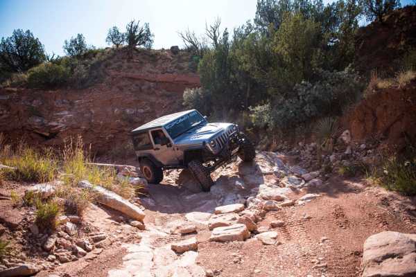
Landry's Landing

Total Miles0.9
Technical Rating
3Easy
Best TimeSummer, Spring, Fall, Winter
Trail TypeFull-Width Road
Accessible By
Open Trail Map

Trail Overview

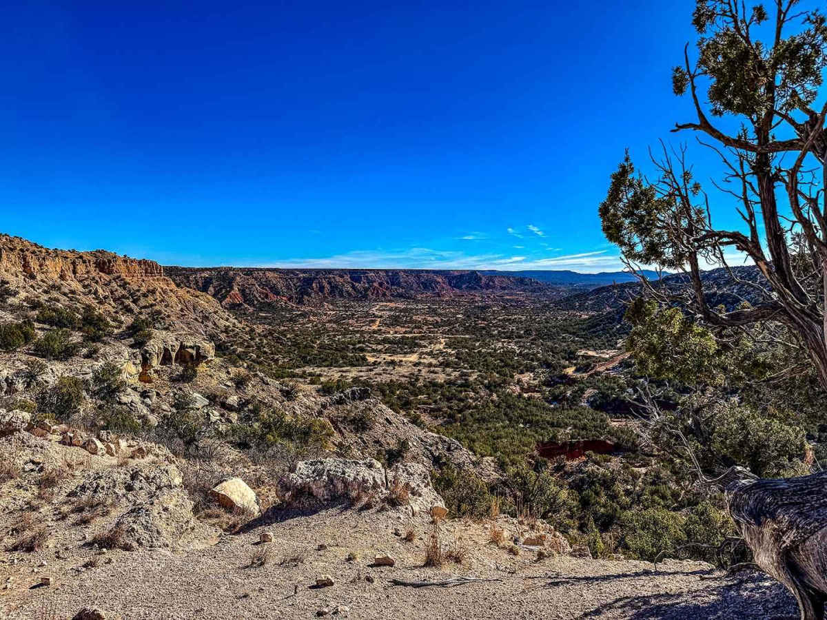
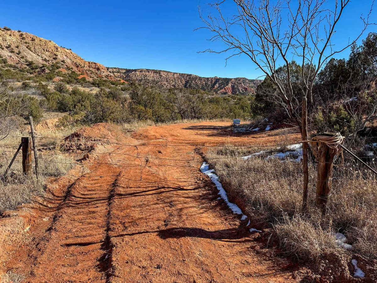
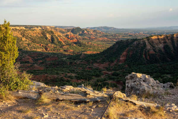
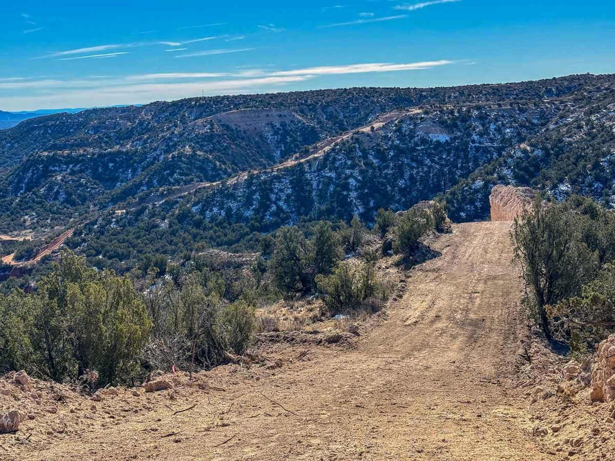
Landry's Landing, our newest access trail into the canyon, is named after Clint Landry, the man who designed and built many of the trails at Merus, and for the landing near the top of the trail that provides an exceptional vista across the canyon. Designed to be our easiest access into the canyon, this trail begins on Camp Point and winds its way into the canyon before running adjacent to Merus 101 and the Drop In on the ridge above it. The trail terminates at an old cattle gate where it connects to the bottom of the Drop In and Merus 101. While under construction this trail is open for one-way traffic down into the canyon.

Photos of Landry's Landing

Difficulty

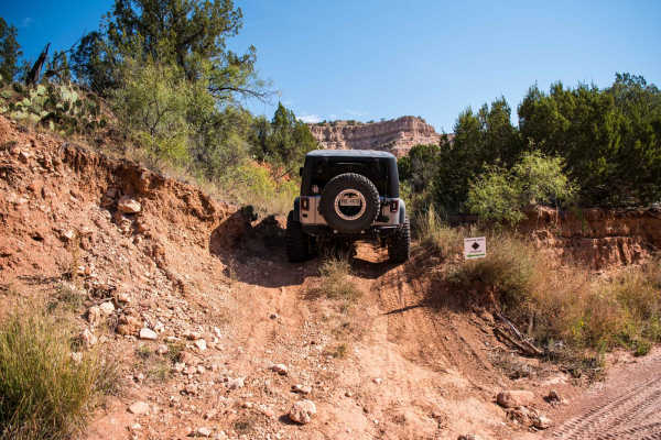
This is an easy descent into the canyon with up to 17-degree drops and a few sharp turns, but no serious obstacles. Drivers should be cautious of the soft edges of the trails and remain in the center as they descend. The portion of the trail in the creek bed at the bottom may have brush growing close to the trail.

Technical Rating

3

Status Reports

Add Status Report
Jonathan Smith
Jun 28, 2026
2015 Jeep Wrangler
Open
Normal
Trail is in great condition. Recent rains have helped pack the canyon entrance.
Jonathan Smith
Jan 08, 2026
2015 Jeep Wrangler
Open
Dusty
Trail is repaired and now open.
Jonathan Smith
Dec 22, 2025
2015 Jeep Wrangler
Temporarily Closed
Trail Restoration
Trail is temporarily closed due to trail damage will reopen as soon as repairs have been made.

Landry's Landing Trail can be accessed by the following ride types:

  • High Clearance
  • Full Width

Landry's Landing Map

The onX Offroad Difference

onX Offroad combines trail photos, descriptions, difficulty ratings, width restrictions, seasonality, and more in a user-friendly interface. Available on all devices, with offline access and full compatibility with CarPlay and Android Auto. Discover what you're missing today!

Open Trail Map