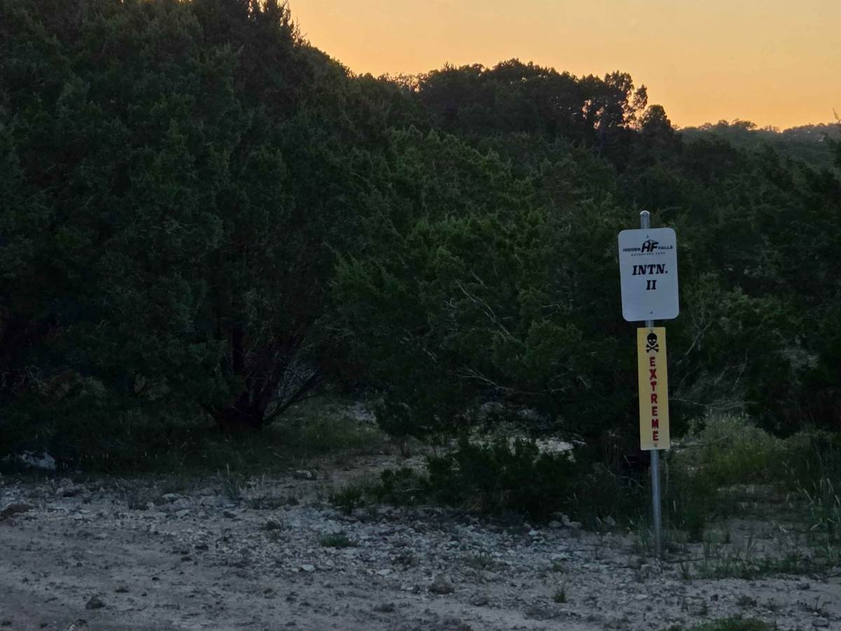
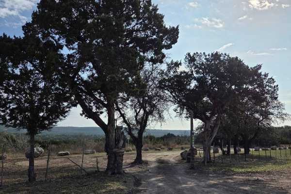
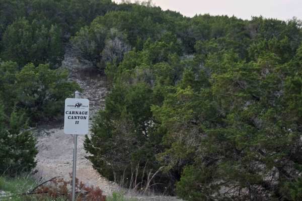
Trail Overview
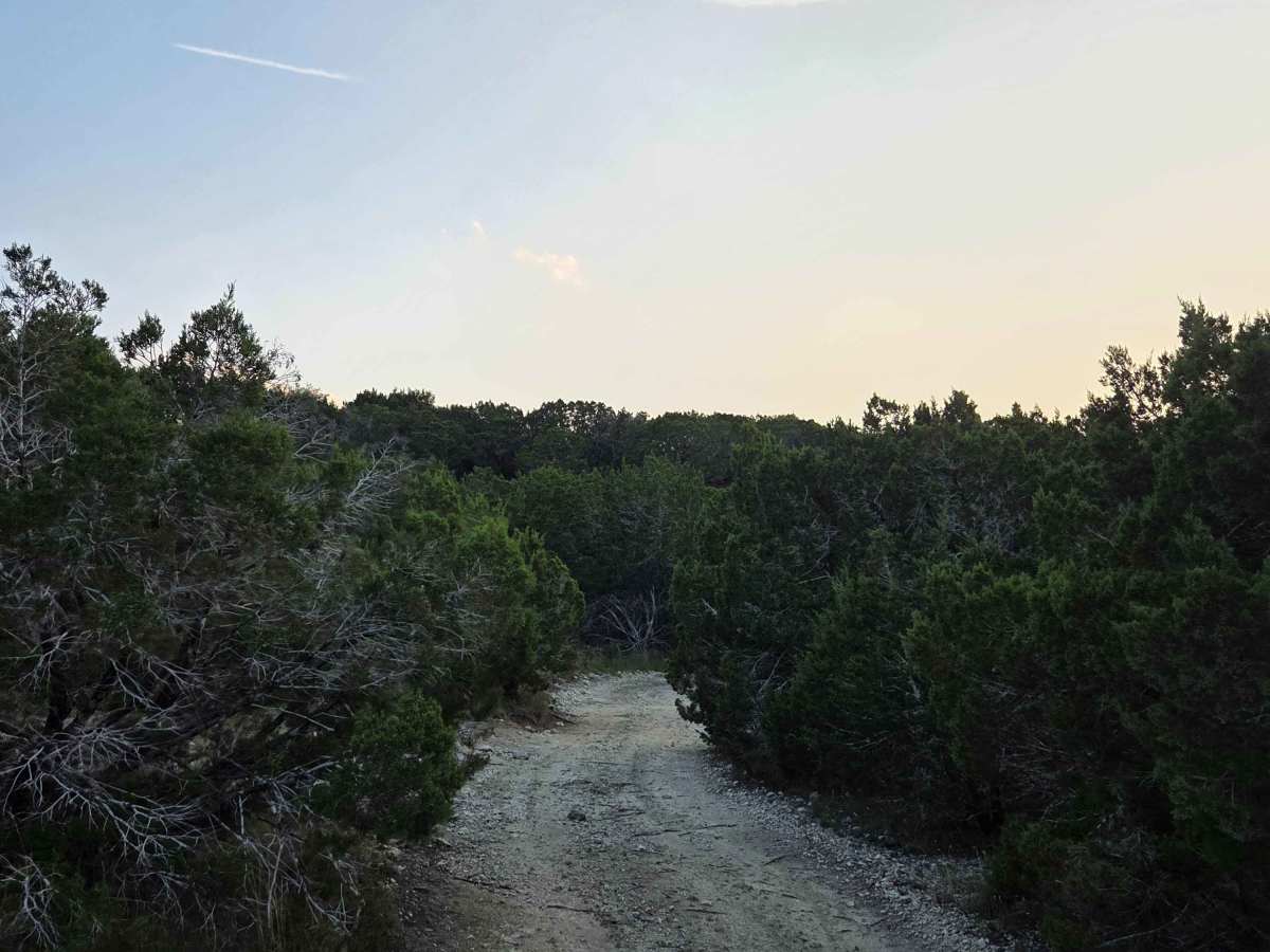
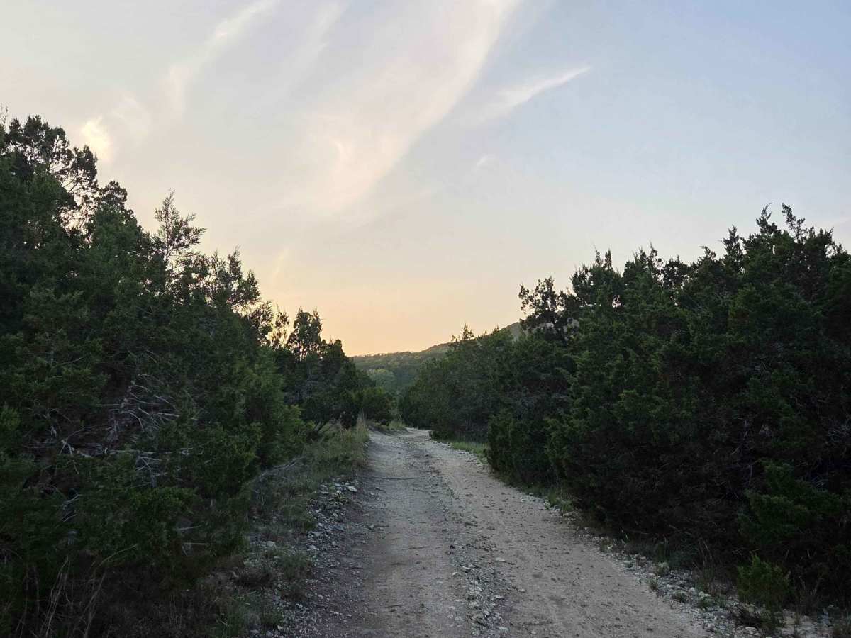
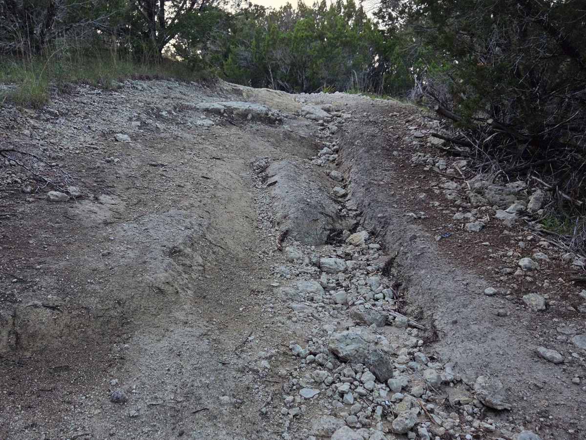
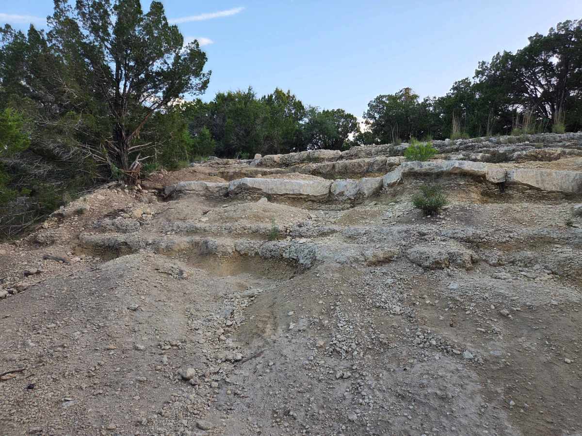
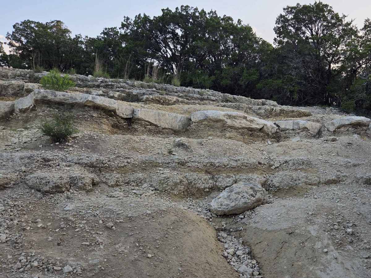
International Highway 2 begins as a winding section through a wooded area, primarily consisting of dirt and gravel. Along the trail, riders will occasionally encounter small washouts and minor rock shelves that add light technical elements. At the intersection with International Highway 1, the trail features a large rock shelf that presents a significant obstacle for most vehicles. Successfully navigating this section requires careful line selection, which will vary depending on a vehicle’s capability and wheelbase. There is no bypass around this obstacle, so riders who are unable to complete it should be prepared to turn around.
Difficulty
This trail has small washouts and minor rock shelves as the primary obstacles for most of this trail. These features are manageable for most off road vehicles with basic experience. However, the final section significantly increases in difficulty. The large rock ledge at the end consists of multiple stair-stepped drops that can undercut tires and challenge traction, ground clearance, and wheelbase. This obstacle will test the limits of many vehicles and drivers. There is no bypass available, so riders should assess their capabilities before committing to the final section.