Trail Overview
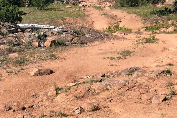
Trail #16 is an easy-rated access road that serves as a primary connector to several of K2's most popular trail systems, making it ideal for drivers looking to reach more technical terrain without an immediately challenging approach. While the route itself is considered easy, expect a rough, rocky surface scattered with massive embedded boulders that require slower speeds and careful tire placement. High-clearance 4WD vehicles are recommended to comfortably navigate the uneven terrain, even though major technical obstacles are limited.
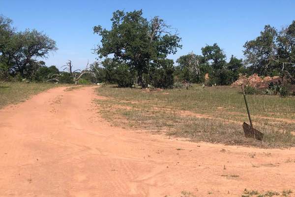
This trail provides convenient access to the Cyclops, Bluebonnet Gang, and King of the Hill trail areas, making it an important link within the park's network. Drivers can also connect to the Easter Eggs trail, which can be traveled in either direction depending on your planned route. Although the difficulty remains manageable for most capable off-road vehicles, the constant rock gardens and oversized stones keep the drive engaging and reward those who take a deliberate, controlled approach.
Access Description
Access to this trail requires entry to Katemcy Rocks, a privately owned off-road park. The park is only open on designated weekends throughout the year. Fees are required for both vehicles and passengers, and online pre-registration is typically recommended. Primitive camping is included with weekend park admission, while RV hookups require additional reservations.