Trail Overview
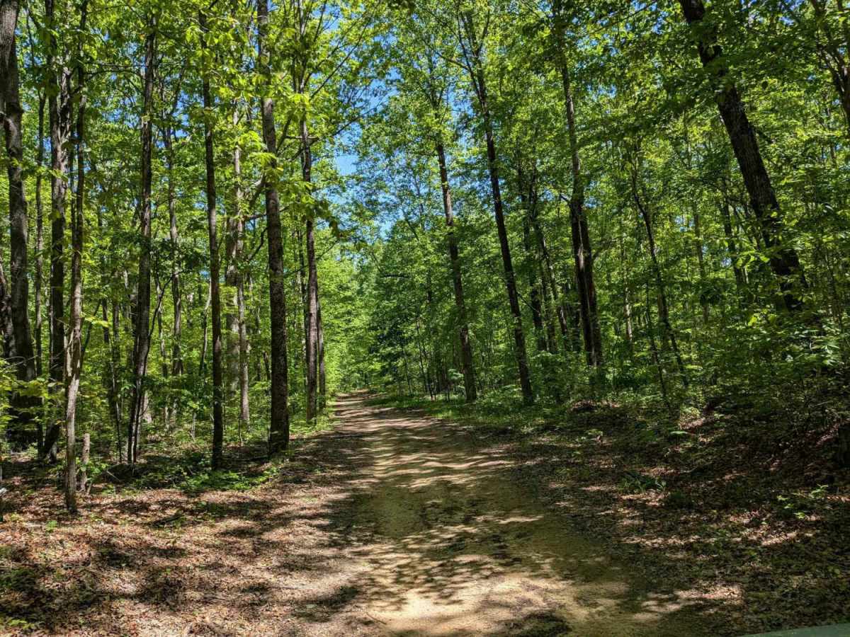
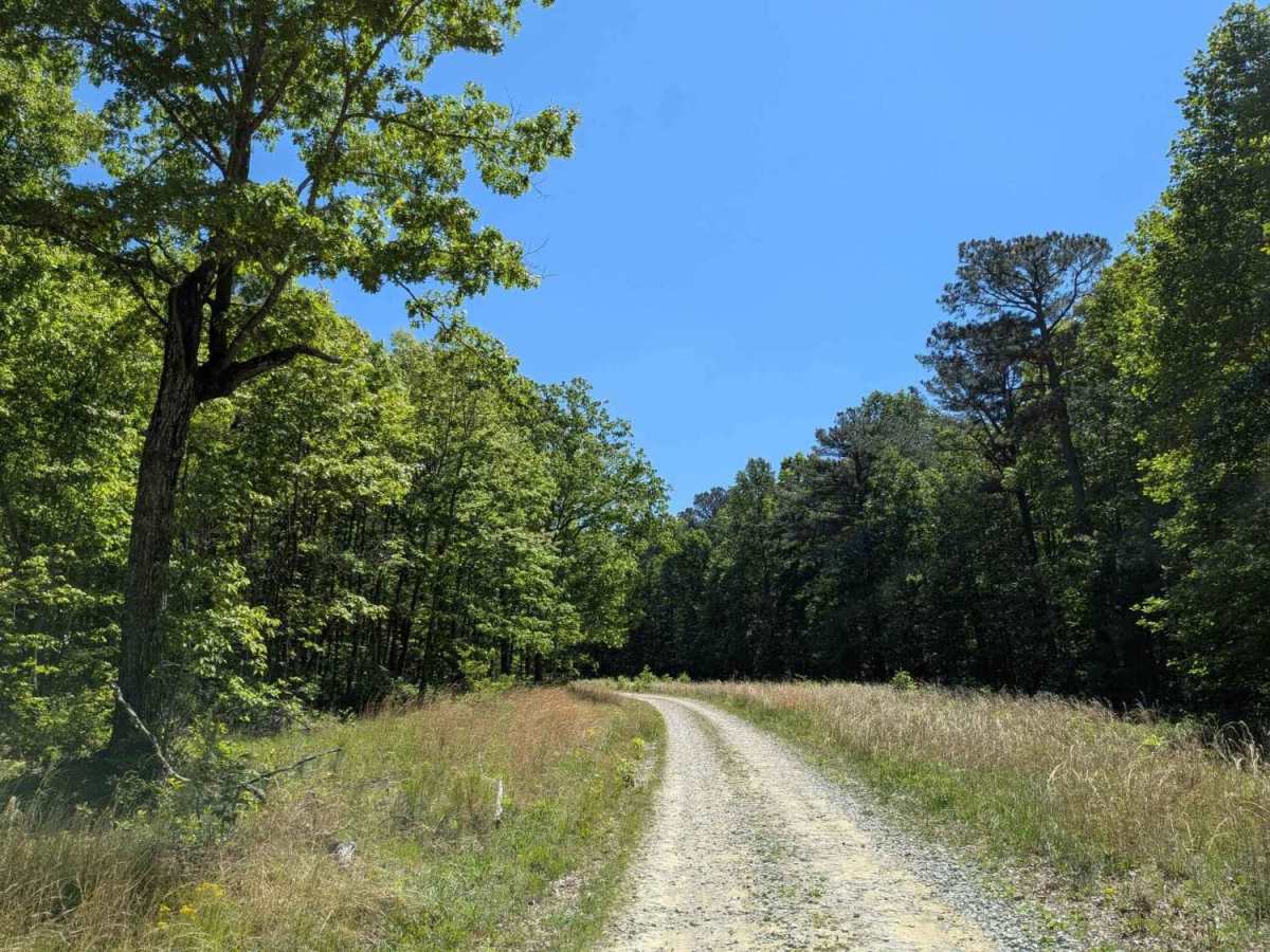
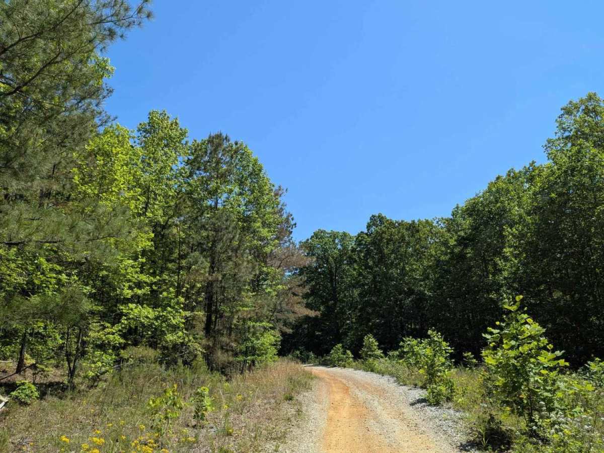
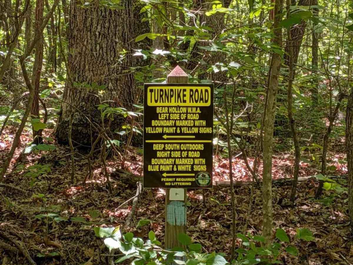
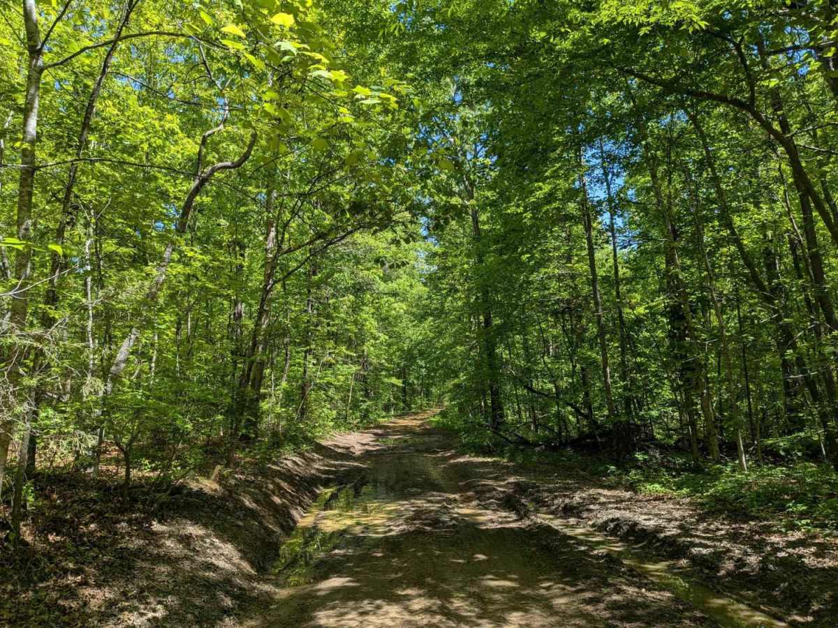
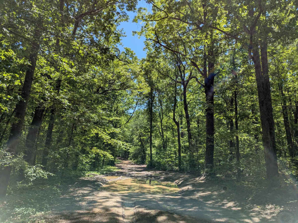
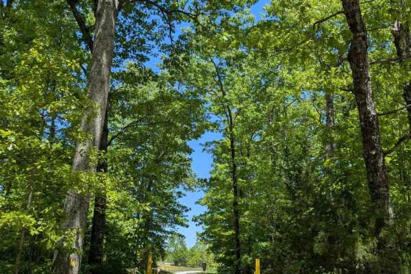
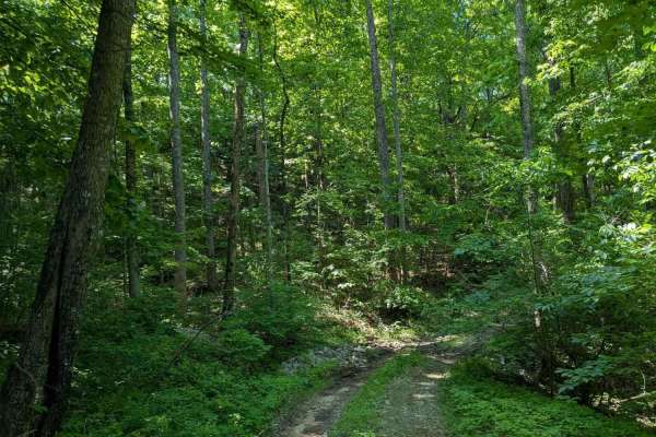
IMPORTANT: This trail is only open during Tennessee hunting seasons, typically from mid-August through late May. Visitors should reference the Tennessee Wildlife Resources Agency website for current access dates and regulations before visiting. Turnpike Road is a 2.5-mile gravel trail that leads into a section of Bear Hollow Mountain Wildlife Management Area. The area is primarily intended to provide vehicle access for hunters entering the WMA before continuing on foot in pursuit of game. The trail has a single entrance and exit off Rowe Gap Road, making it an out-and-back route. Along the drive, the road follows the border between the WMA and a private hunting club that requires a lease for access. Most of the trail is relatively easy to navigate until approximately 1.8 miles in, where drivers will encounter a large mud hole. Beyond that point, the road transitions into a much more primitive trail with rock ledges, washouts, and increasingly difficult terrain as it approaches the property boundary. Conditions can vary significantly depending on recent weather and maintenance activity. This is a public access road, and only street-legal vehicles are permitted.
Difficulty
The first 2 miles of the trail are easy, and any 4WD should be fine. Beyond that point, the trail becomes progressively more difficult.