Trail Overview
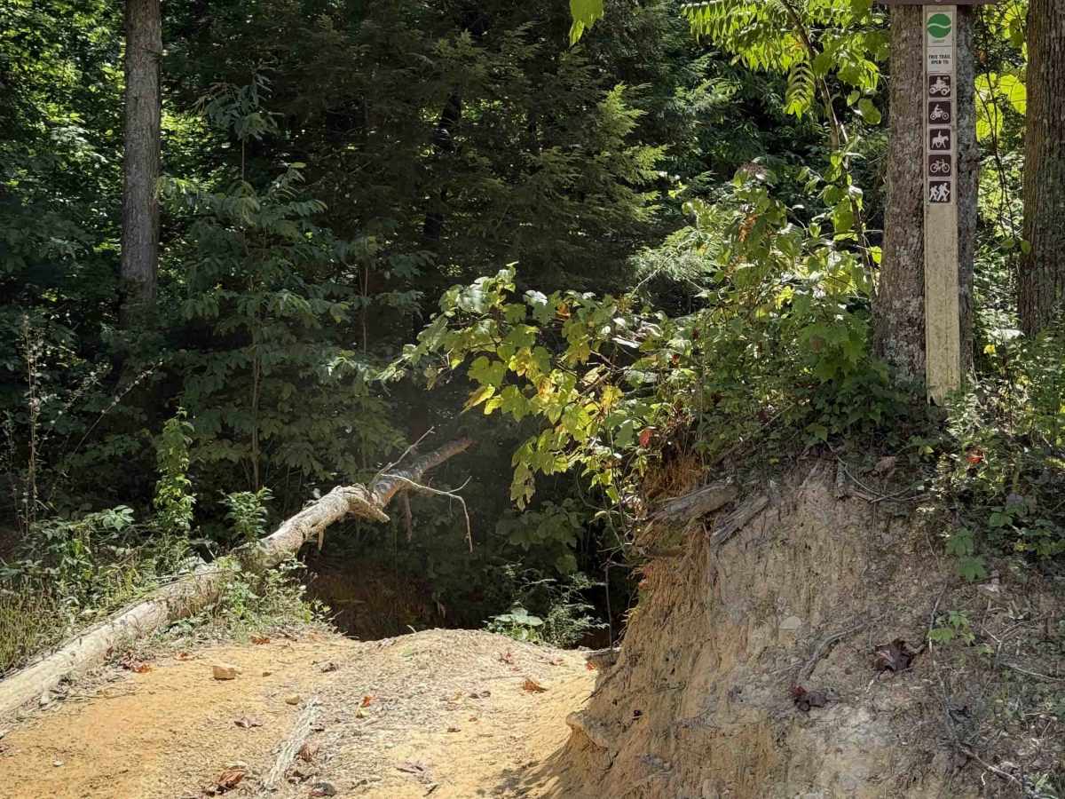
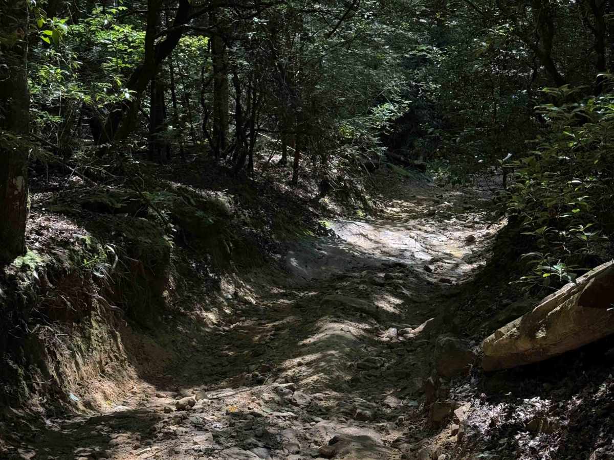
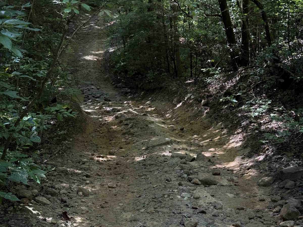
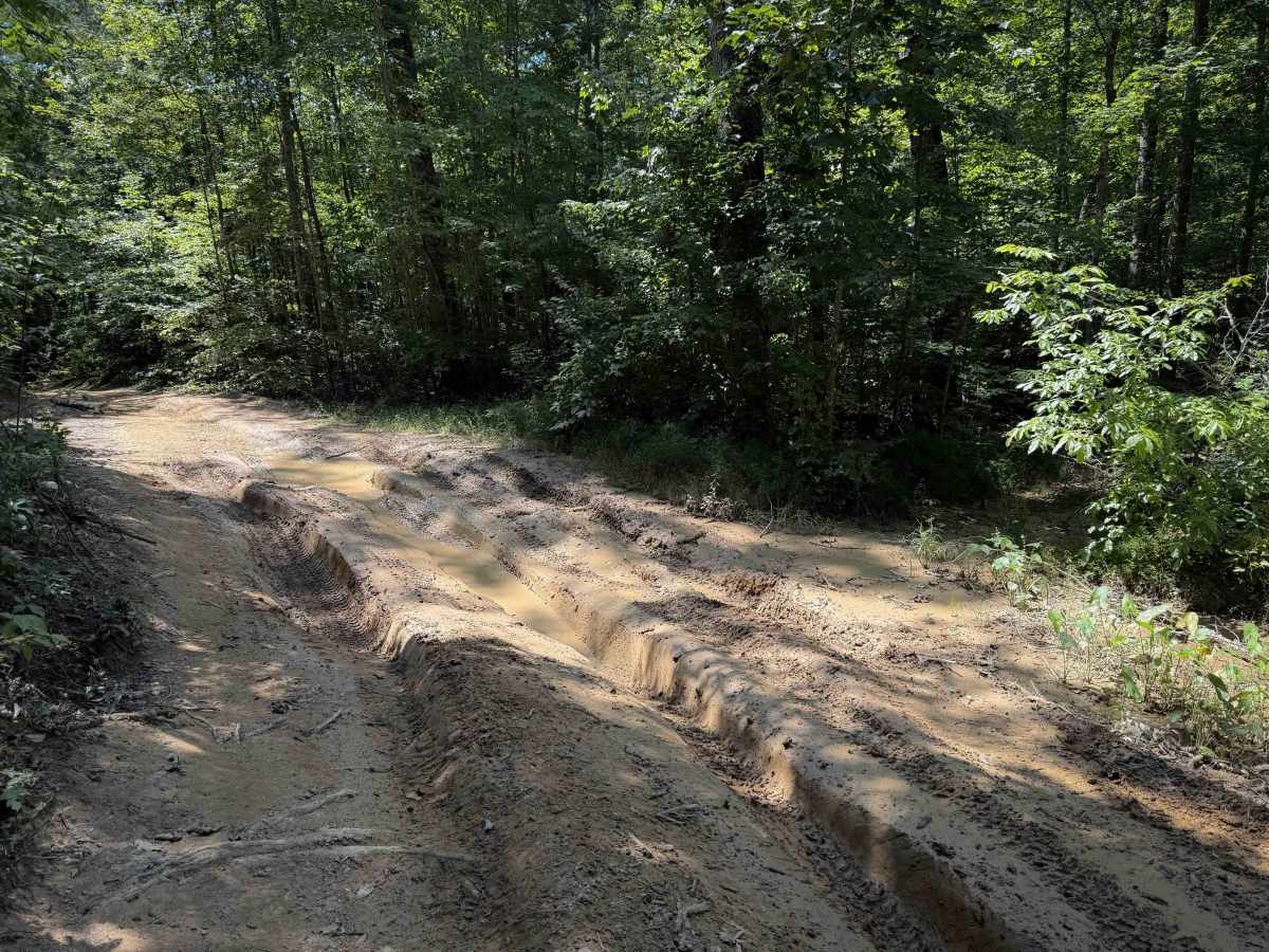
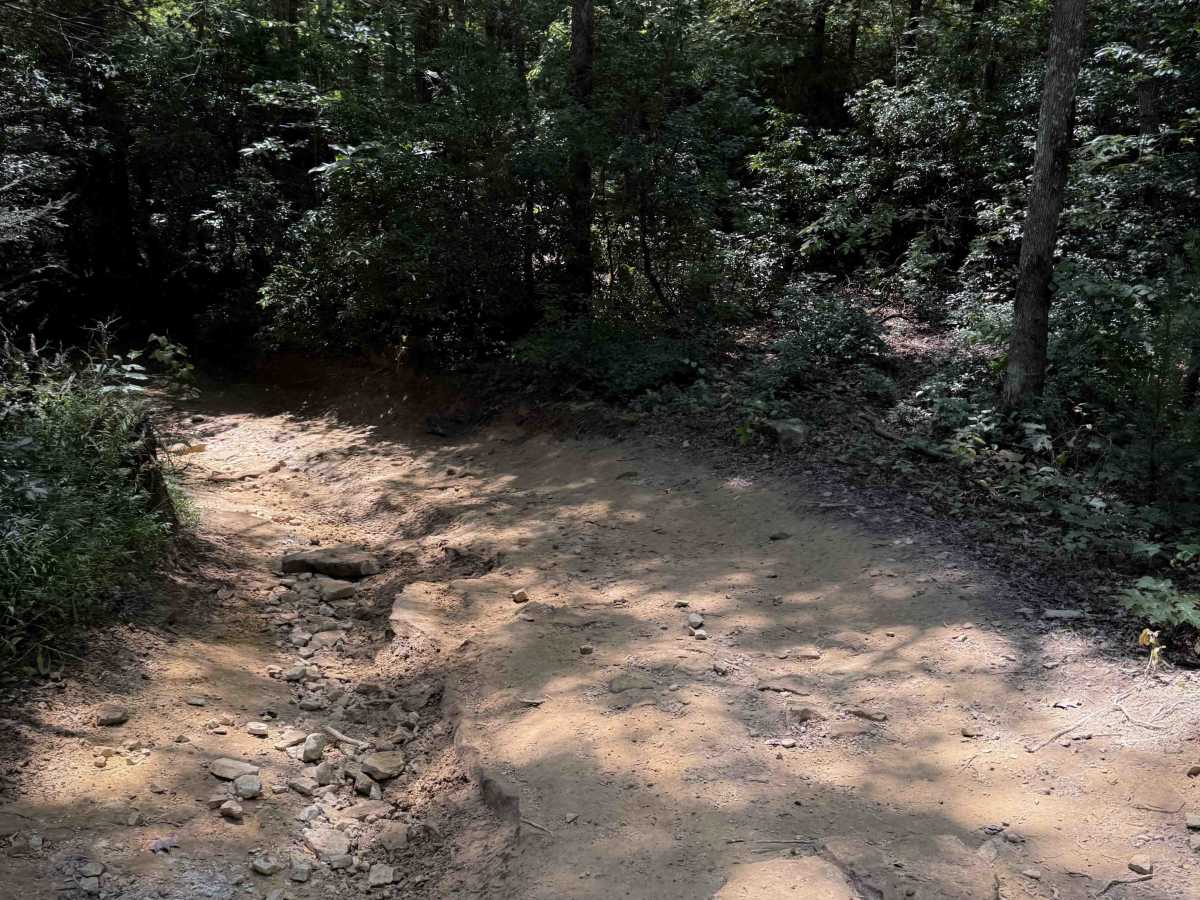
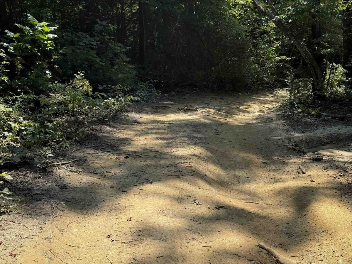
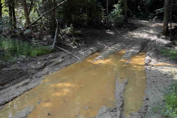
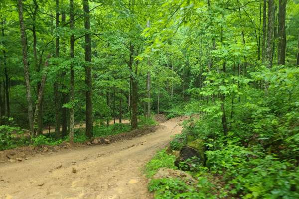
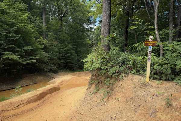
Tram Branch Trail is an easy OHV connector suited for riders looking for a quick route between interior trails and road access within the Sundquist Unit of North Cumberland Wildlife Management Area. This short cutoff spur links Jennings Creek Trail with Lee Asbury Road, allowing ATVs and side-by-sides to move efficiently between the forested trail network and the primary access corridor. The surface is primarily dirt and native forest soil with occasional small rock sections typical of Appalachian connector trails, and the terrain generally remains mild with gradual grades and relatively open forest passages. Under normal conditions the trail is straightforward, though rainfall can introduce shallow mud holes or minor ruts in low spots.
Although brief, Tram Branch Trail plays a practical role in the broader North Cumberland OHV system by providing another option for riders transitioning between Jennings Creek Trail and the Lee Asbury Road corridor. These connections help riders build flexible loop routes through nearby trails such as Meadow Branch, School House, and Cumberland Mountain while navigating the southern portion of the Sundquist Unit. ATVs and other permitted OHVs including side-by-sides and UTVs are allowed where indicated by Tennessee Wildlife Resources Agency trail signage. Riders should remain aware that trail conditions can vary depending on weather and seasonal traffic, with occasional mud, loose rock, or erosion present. The wildlife management area remains open during hunting seasons, though Tennessee Wildlife Resources Agency regulations require at least 500 square inches of daylight fluorescent orange on the head and upper body when outside a vehicle or camp during deer and elk gun or muzzleloader seasons, and users should remain alert for possible truck traffic or changing road conditions associated with forestry or mining activity within the WMA.
Difficulty
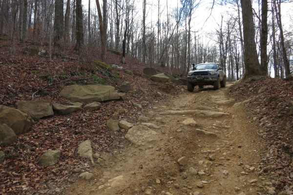
This is rated Easy by the Cumberland Wildlife Management Area; however, conditions can change over time and in wet conditions. It has several moderately easy features such as deep muddy ruts, narrow sections through troughs or bushes, and some slab rock features. There are off-camber sections and lots of muddy ruts.