Trail G20

Total Miles2.6
Technical Rating
2Easy
Best TimeSpring, Summer, Fall, Winter
Trail TypeFull-Width Road
Accessible By
Open Trail Map

Trail Overview

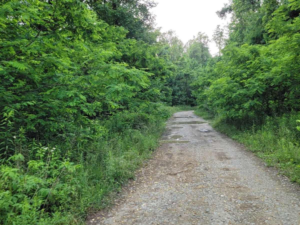
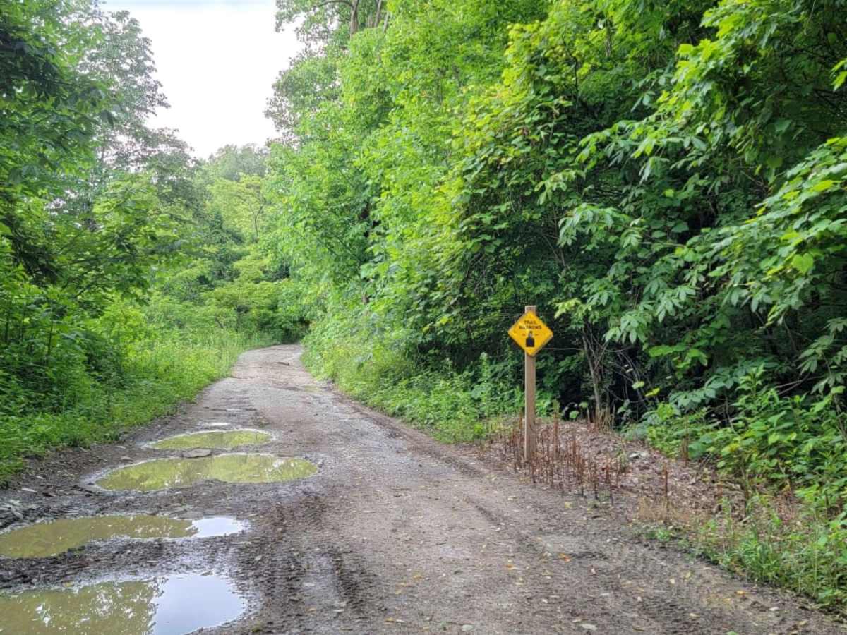
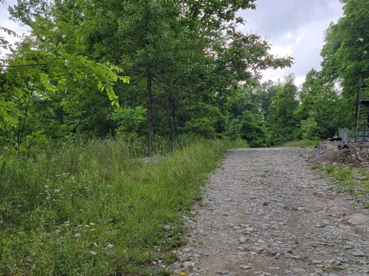
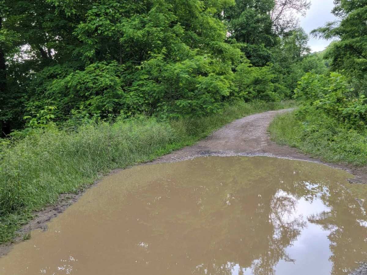
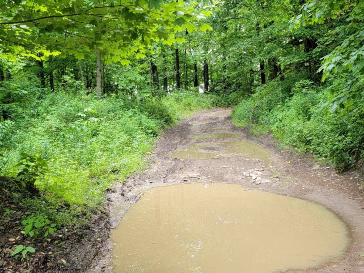
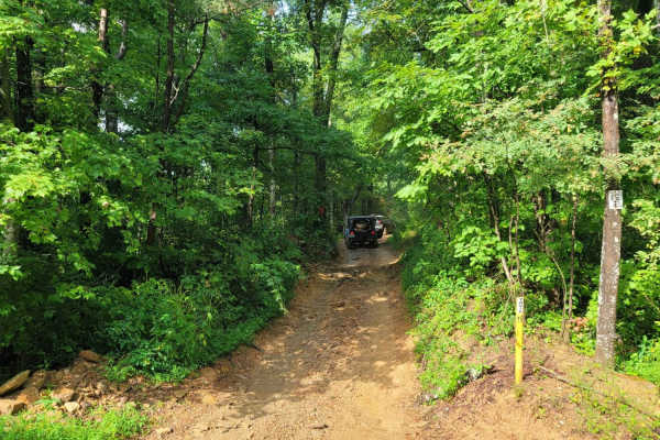
Trail G20 is a 2.6-mile gravel connector within the Windrock Park trail system, linking G2 with Trails 4, 19, and G37. This single-lane road winds through a dense mountain canopy, peaking near 2,850 feet. Drivers should watch for oncoming traffic on narrow sections, blind curves, and steep drop-offs. With a beginner-friendly rating, the trail contains occasional minor ruts and shallow mud holes after rain. High-clearance 4WD vehicles, UTVs, and ATVs can easily navigate the gentle climbs, making this an excellent warm-up or transit route.

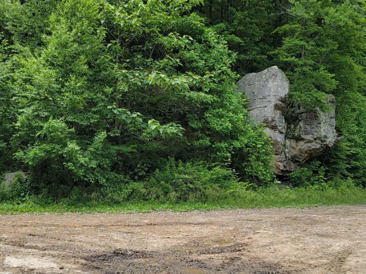
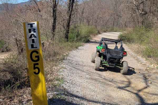
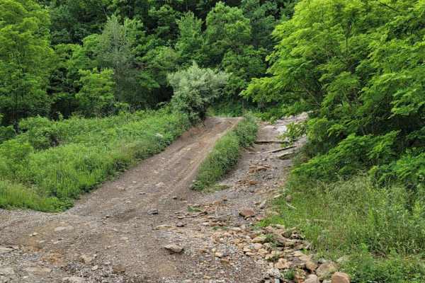
Photos of Trail G20

Difficulty

No challenges on this trail.

Technical Rating

2

Trail G20 Trail can be accessed by the following ride types:

  • Single Track
  • 50 Inch
  • 60 Inch
  • High Clearance
  • Full Width

Trail G20 Map

The onX Offroad Difference

onX Offroad combines trail photos, descriptions, difficulty ratings, width restrictions, seasonality, and more in a user-friendly interface. Available on all devices, with offline access and full compatibility with CarPlay and Android Auto. Discover what you're missing today!

Open Trail Map