Trail Overview
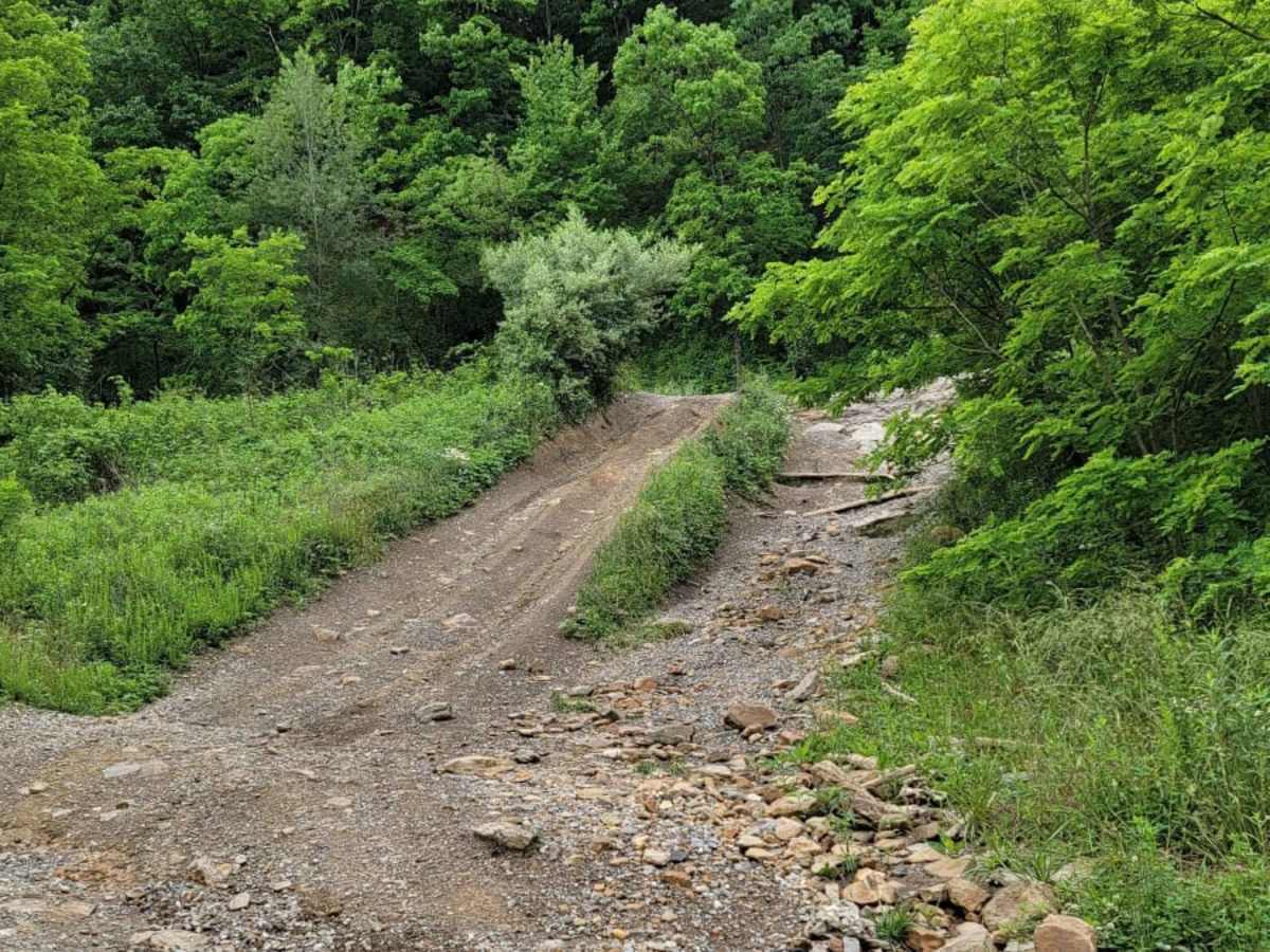
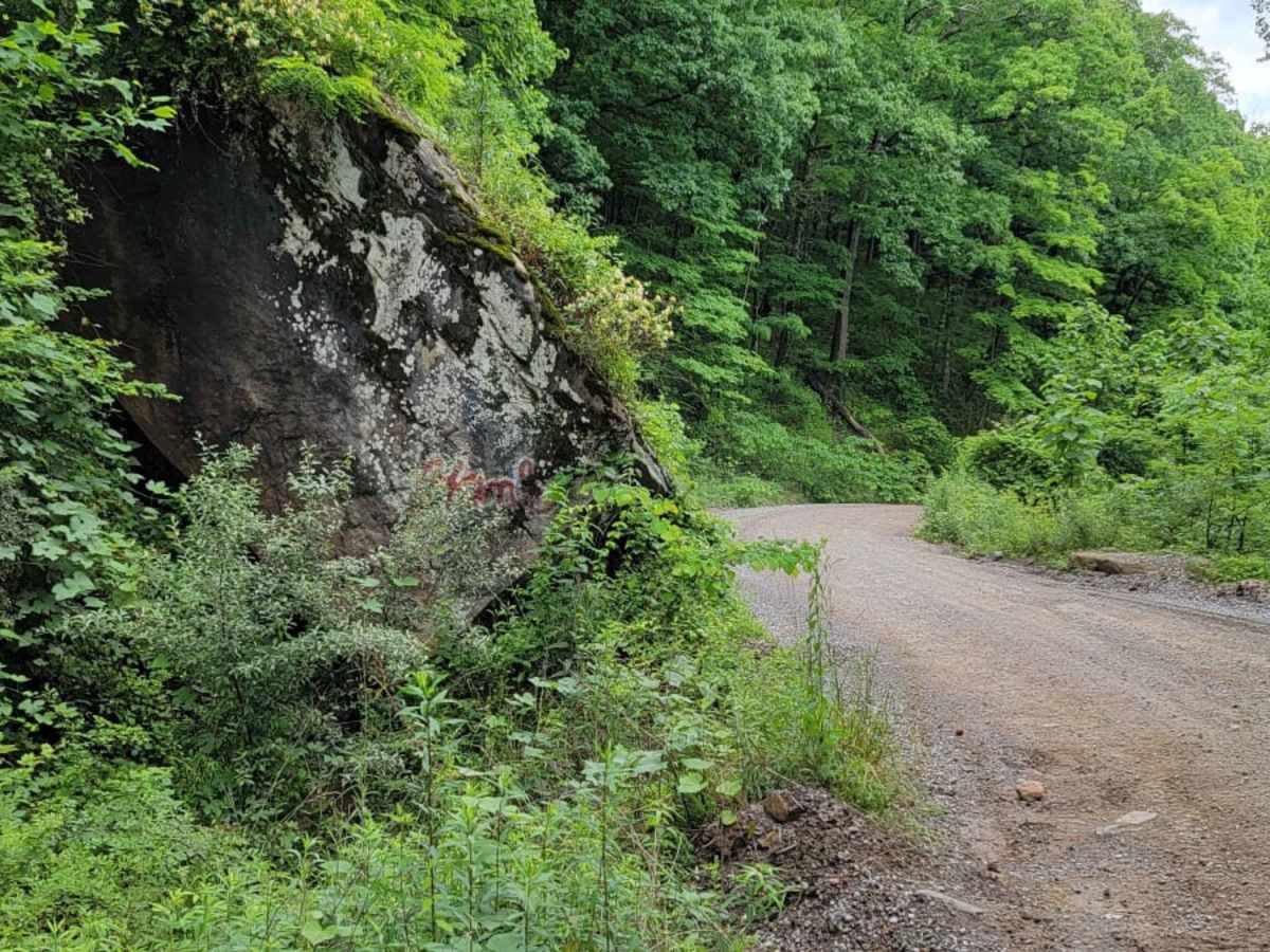
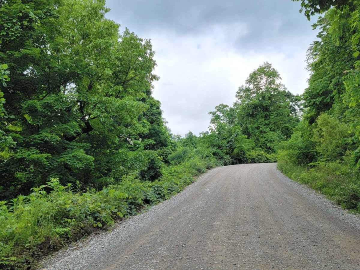
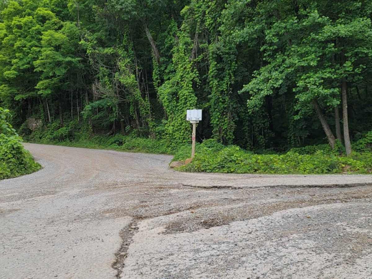
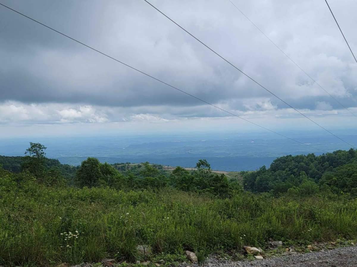
Trail G2 offers an easy, highly accessible route through the heart of Windrock Park, making it an excellent choice for beginners, families, and those seeking a scenic drive up the mountain to the Windrock wind farm. Starting from the General Store trailhead and climbing via P1, this well-maintained gravel road ascends steadily toward the peak of the mountain. Along the way, the trail provides spectacular, wide-open views of the surrounding Smoky Mountains and the deep, lush valleys below. Serving as a primary connector on the southwest side of the property, it links up with several other trails, allowing riders to easily customize their day on the dirt.
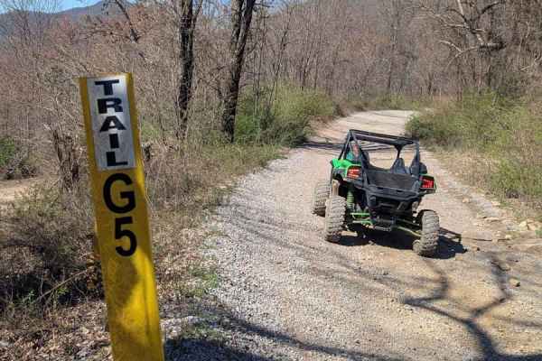
Spanning approximately 2.8 miles, this route climbs from an elevation of 2,328 feet to a peak of 3,331 feet with over 1,000 feet of elevation gain. The entirely graveled surface makes it accessible to almost any vehicle, including high-clearance two-wheel-drive vehicles, stock four-wheel-drive SUVs, SxSs, and dirt bikes. No major obstacles or technical sections exist, giving drivers a relaxed cruising experience. While the trail is open year-round, winter is the optimal season to visit if your main goal is viewing the massive windmills at the summit, as summer foliage can heavily obstruct the view. Land-use permits from Windrock Park are required before accessing the trail system, and these can be purchased at the General Store.