Trail Overview
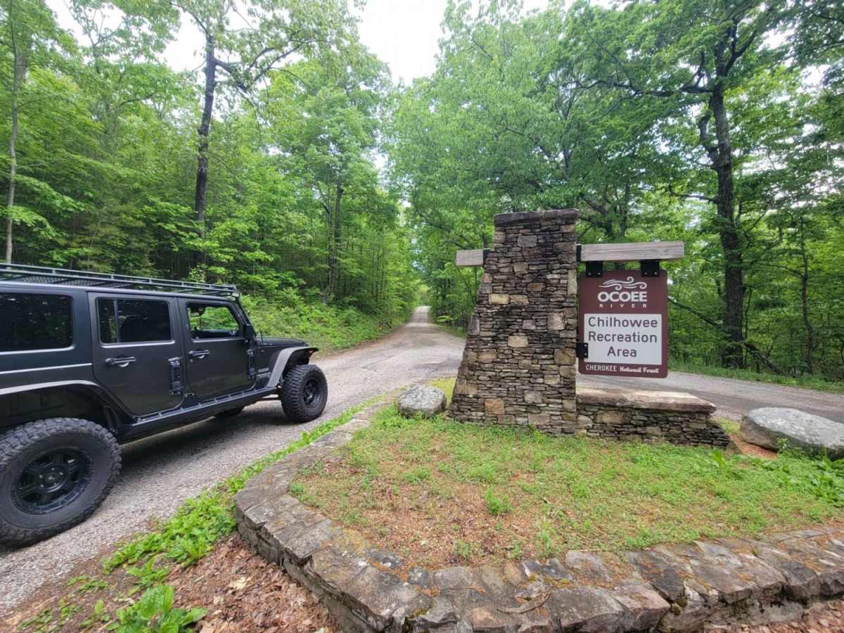
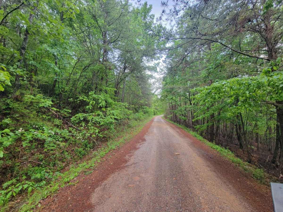
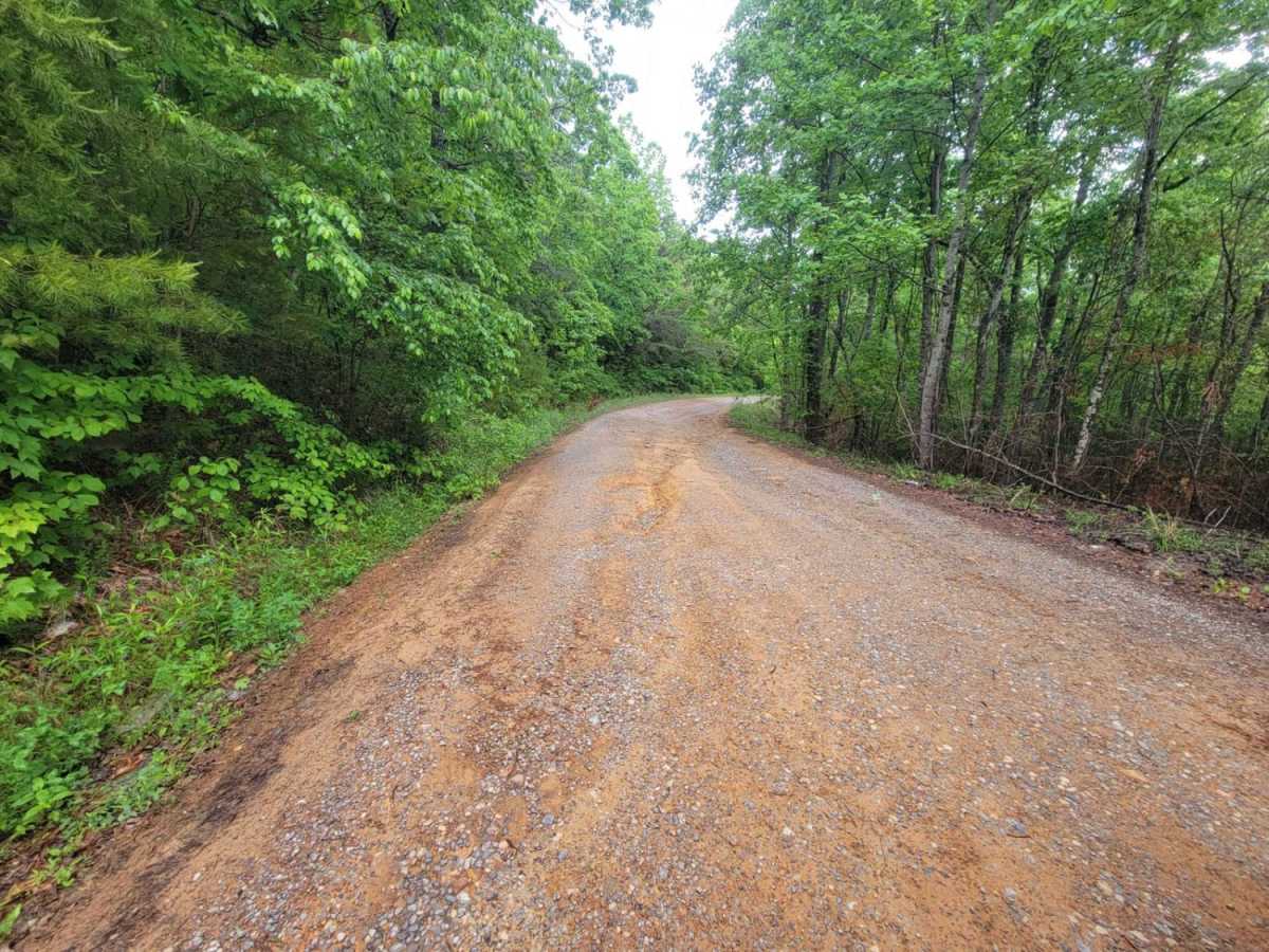
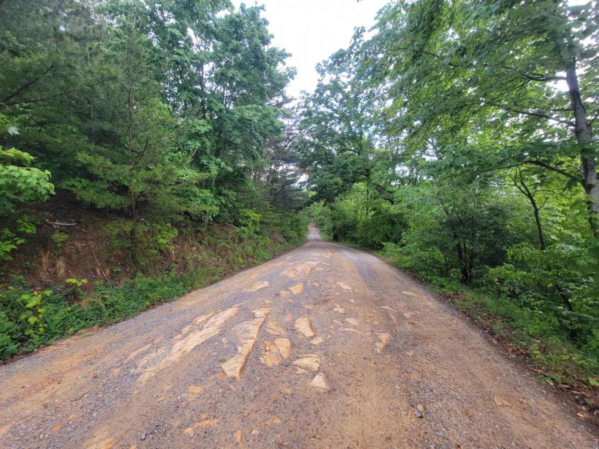
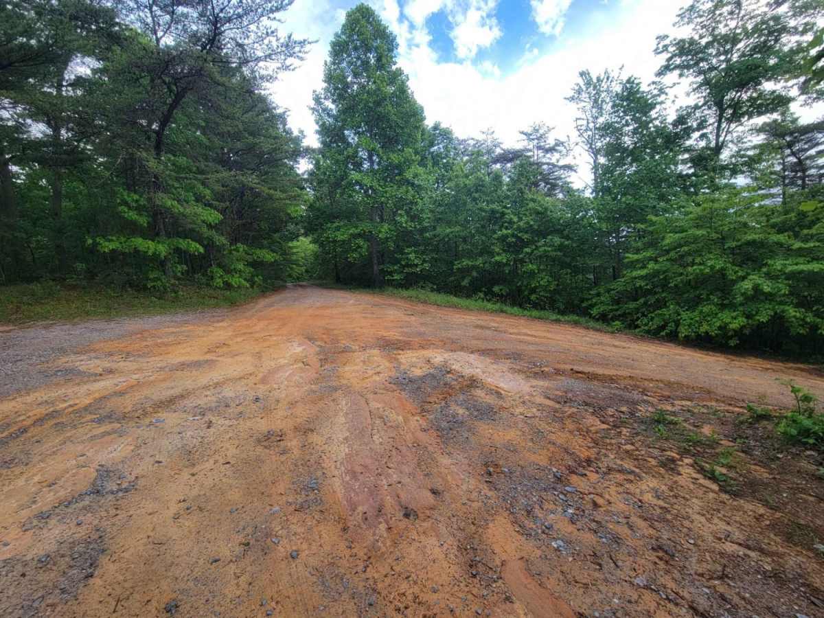
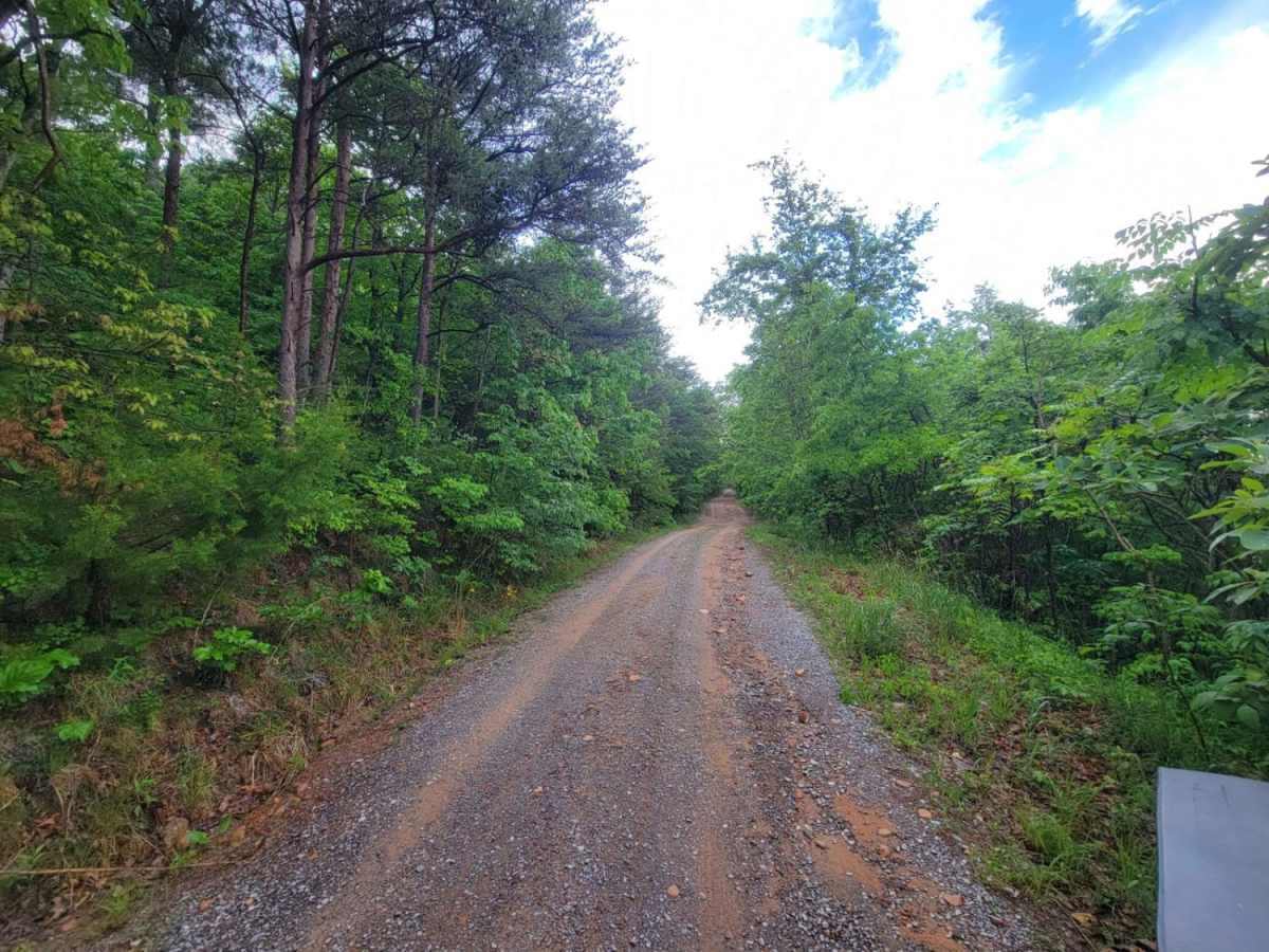
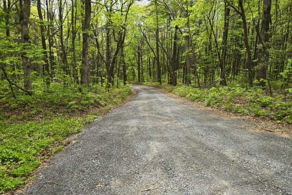
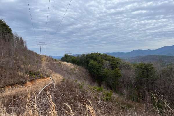
Chilhowee Ridge (Oswald-77) is an excellent, scenic forest service road perfect for beginners, families, and any offroader looking for a relaxed day drive with sweeping mountain views. Spanning approximately 9.7 miles across the crest of Chilhowee Mountain in Tennessee's Cherokee National Forest, this route offers an effortless escape into nature with minimal technical challenges. The trail features a well-maintained gravel and dirt surface, starting near Benton Springs and winding its way northeast toward Oswald Dome. With a maximum elevation of 2,593 feet and a minimum of 1,049 feet, drivers will experience gentle elevation changes, climbing and descending through lush gaps such as Mulepen Gap, Lillard Gap, and Sulphur Springs Gap.
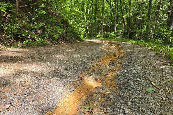
Because of its gentle average gradient of under four degrees and a technical rating of 1, almost any high-clearance vehicle, including stock SUVs, SxSs, and four-wheel-drive trucks, can easily navigate this road under typical dry conditions. While the drive is straightforward, visitors should remain alert for occasional low-hanging branches, minor rocky patches, and oncoming traffic along the single-lane sections. The route provides access to beautiful overlooks and nearby recreation opportunities, including hiking trails, camping spots, and scenic areas around McCamy Dam and the Chilhowee Recreation Area. Seasonally, the trail is most enjoyable during the spring and fall when the foliage is either blooming or changing color, making it a highly rewarding and accessible drive for all skill levels.