Butler Ridge - FS 1061

Total Miles0.4
Technical Rating
2Easy
Best TimeSpring, Summer, Fall, Winter
Trail TypeFull-Width Road
Accessible By
Open Trail Map

Trail Overview

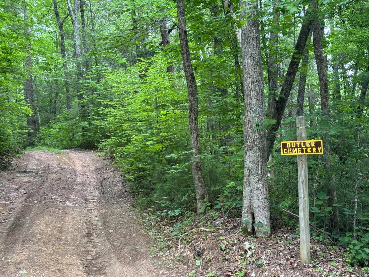
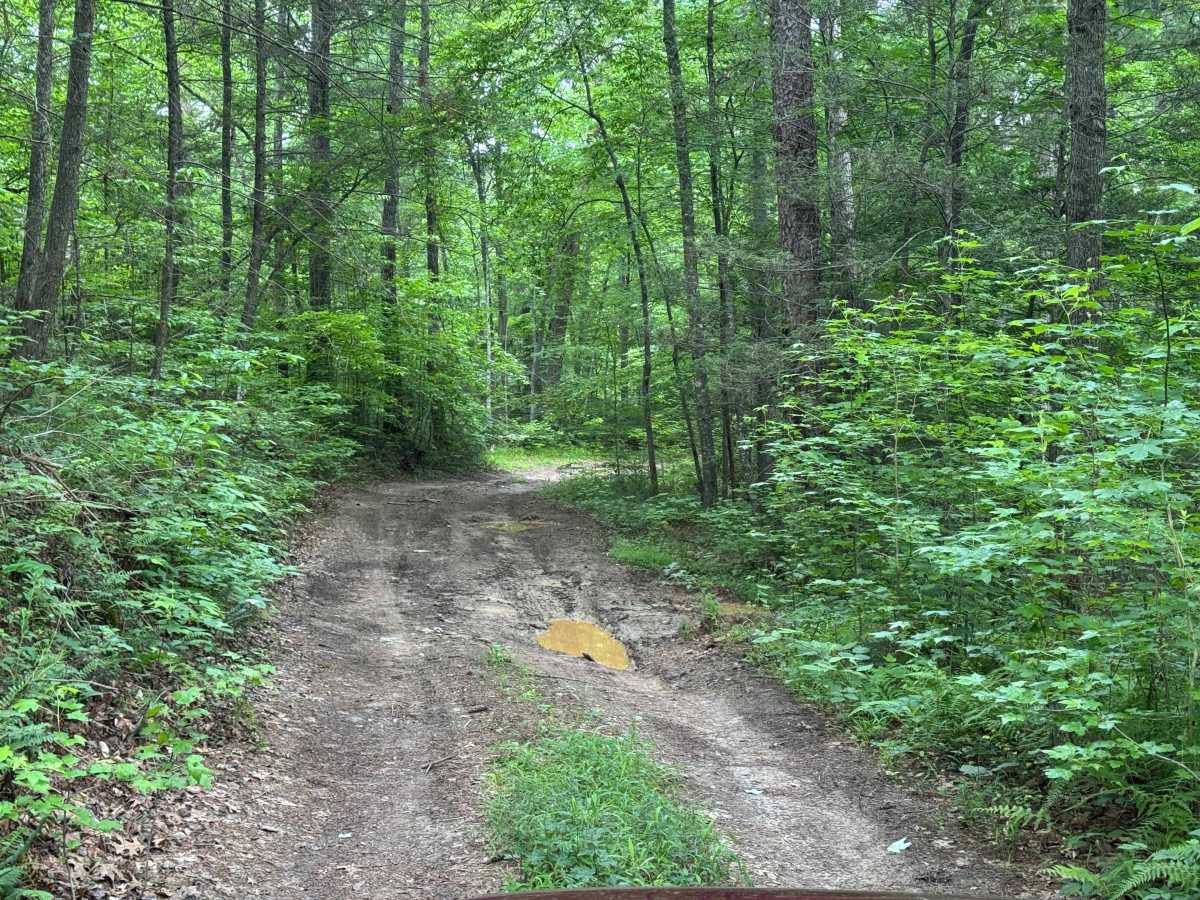
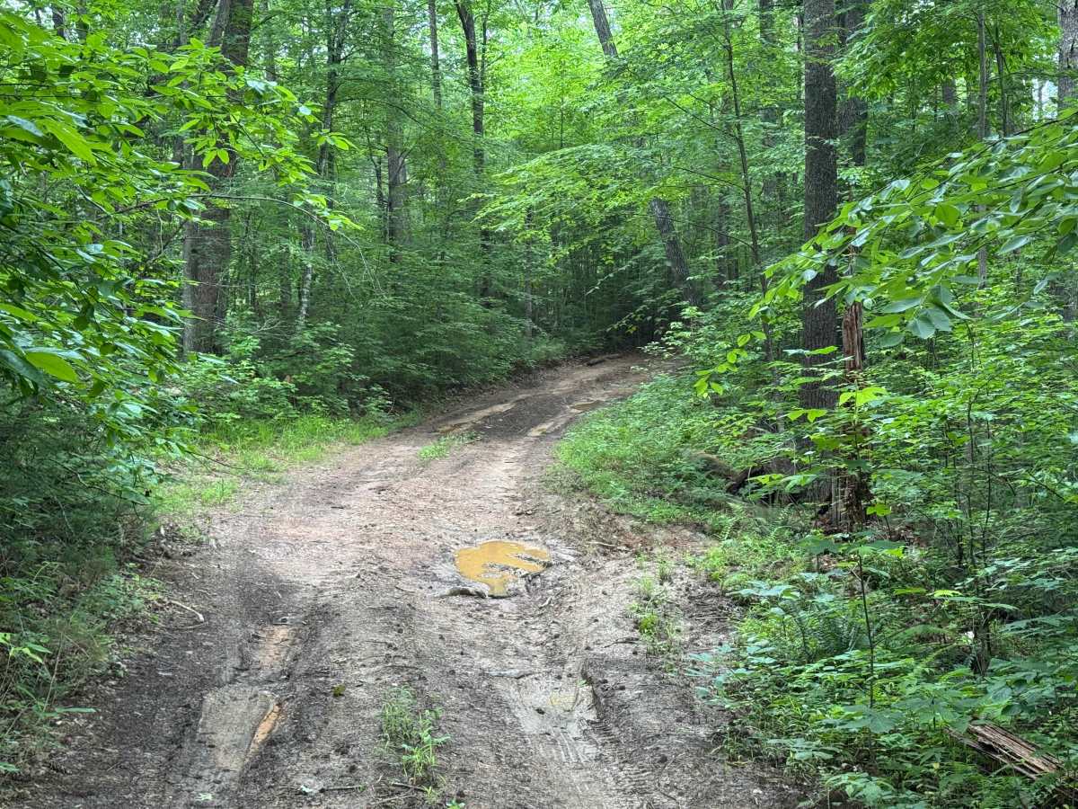
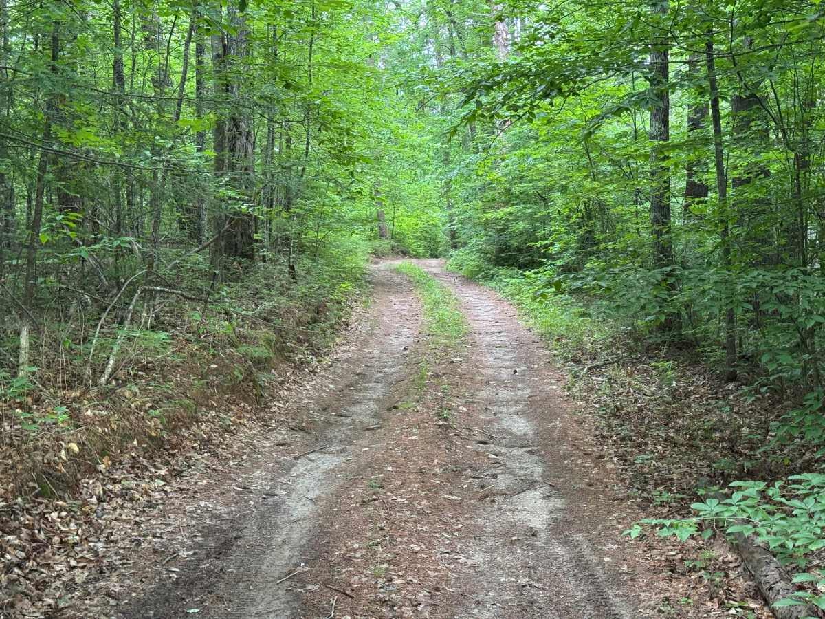
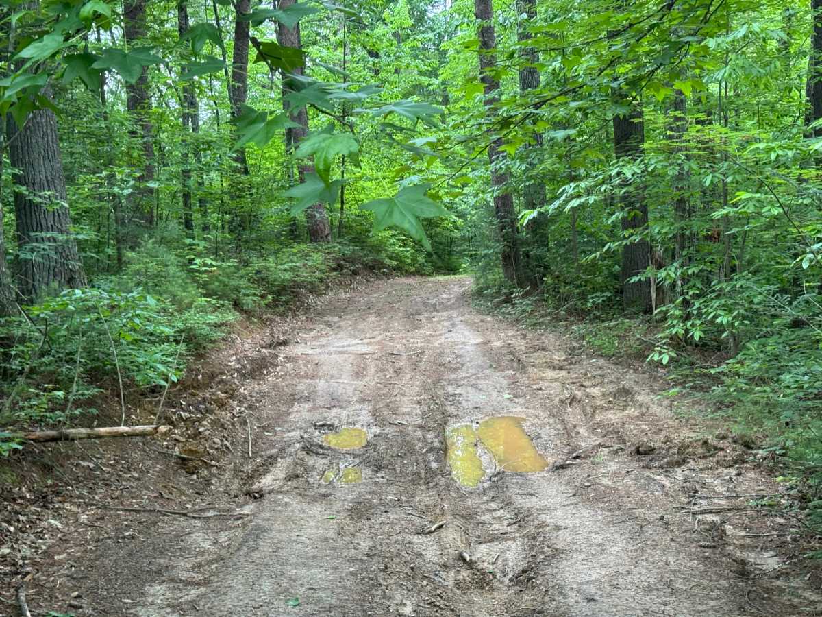
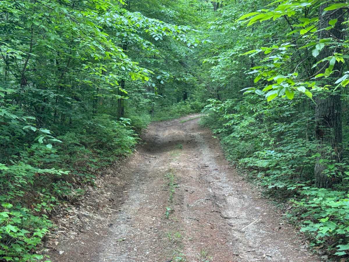
Butler Ridge (FS 1061) is a short, narrow, somewhat rutted and muddy trail that leads to the historic Butler Ridge Cemetery. Butler Ridge is a branch off of McFarland Road, and there is a small brown and yellow sign at the intersection. There are several low spots in the short length that will tend to hold water and can get very muddy. As you approach the end, there is a gate blocking the trail beyond the cemetery. To the left is a small rise leading up to the cemetery itself. Resist the urge to park on higher ground, as you may end up parking on someone's gravesite.

Photos of Butler Ridge - FS 1061

Difficulty

Single lane road with minimal places to pass.

Technical Rating

2

Butler Ridge - FS 1061 Trail can be accessed by the following ride types:

  • 60 Inch
  • High Clearance
  • Full Width

Butler Ridge - FS 1061 Map

The onX Offroad Difference

onX Offroad combines trail photos, descriptions, difficulty ratings, width restrictions, seasonality, and more in a user-friendly interface. Available on all devices, with offline access and full compatibility with CarPlay and Android Auto. Discover what you're missing today!

Open Trail Map