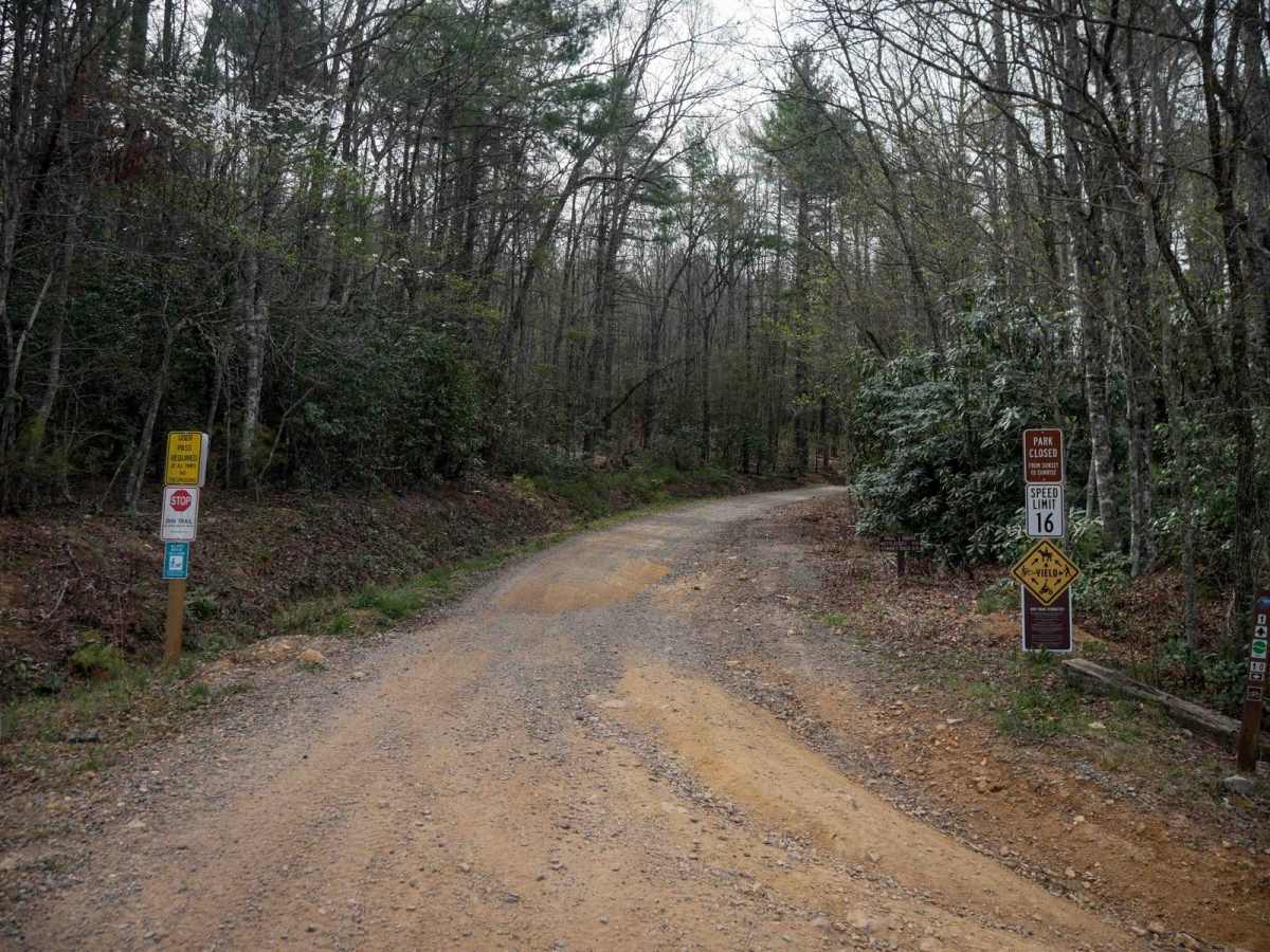
Trail Overview
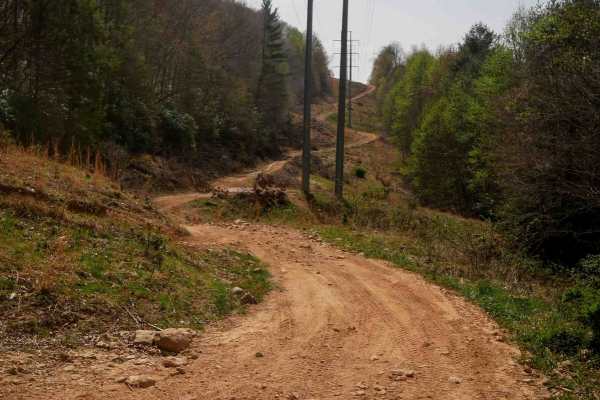
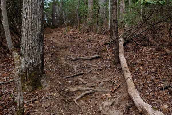
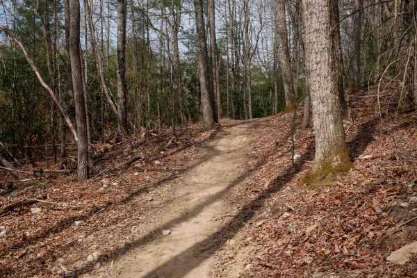
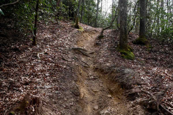
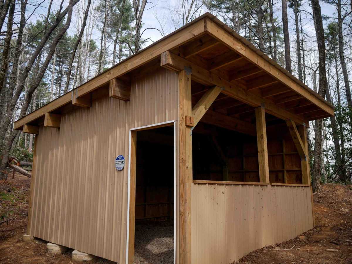
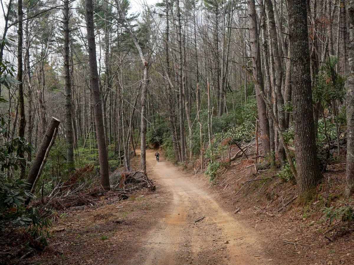
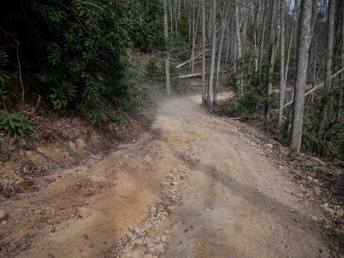
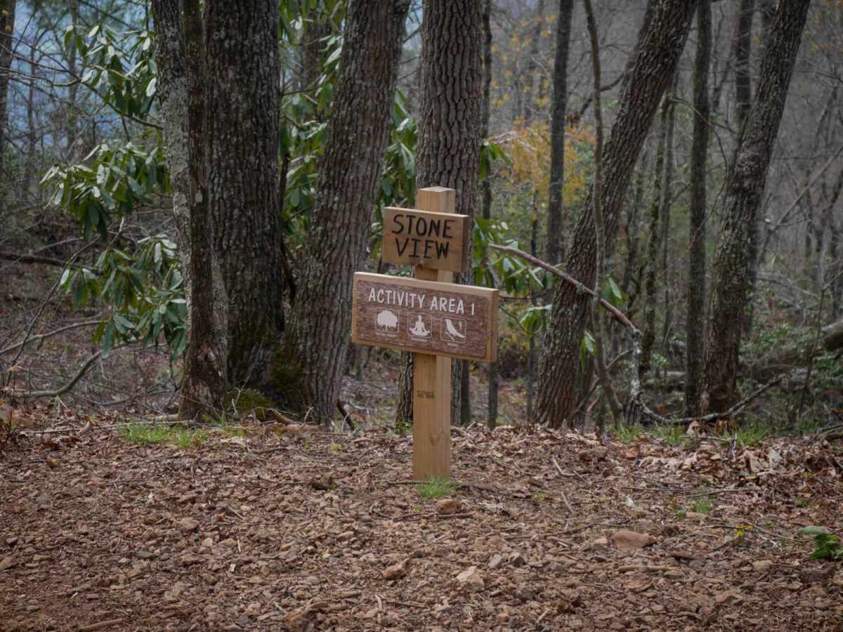
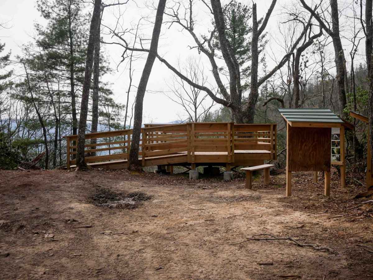
Trail 1 serves as the main 8-mile east-to-west access corridor at Doe Mountain Recreation Area, connecting the main parking area to the Morfield Branch Trailhead. Although considered easy the entire route, the eastern section starts off the smoothest, and gradually becomes rockier heading west, with sharp turns, and constant loose rock. The trail gradually gains 1,300 feet elevation over the first 4 miles, then gradually loses 2,000 feet elevation in the next 4 miles. Wide enough for OHVs throughout, it includes shallow, rock-filled ruts, embedded rock layers, and shelfy, exposed sections along the hillside. The trail passes key landmarks including a shelter hut, the Trials Training Area, the Kettlefoot Lookout Tower, and the Stone View lookout platform. It's lined with dense rhododendron in parts, sometimes blocking the blind corners. Despite being a primary route, it still requires thoughtful line choice--especially on dirt bikes through the rocks--and awareness for two-way traffic.
Difficulty
This is an easy OHV trail with minor technical features such as loose and uneven surfaces, loose rocks, sharp corners, and exposed shelfy sections.