Trail Overview
This trail serves as a great connector between FS 699.1A and the Ruby Gulch Main Trail, making it an excellent transition if you're exploring the area.
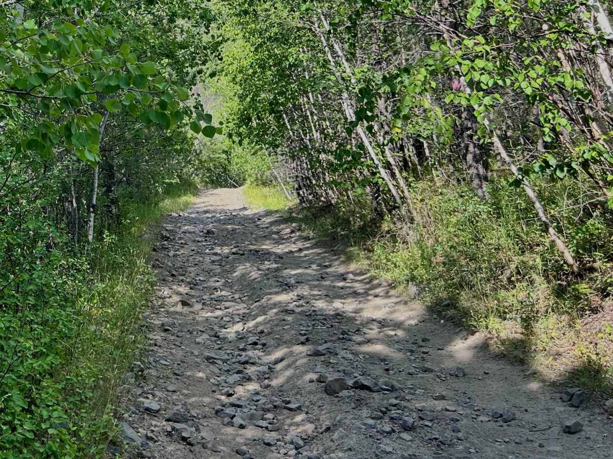
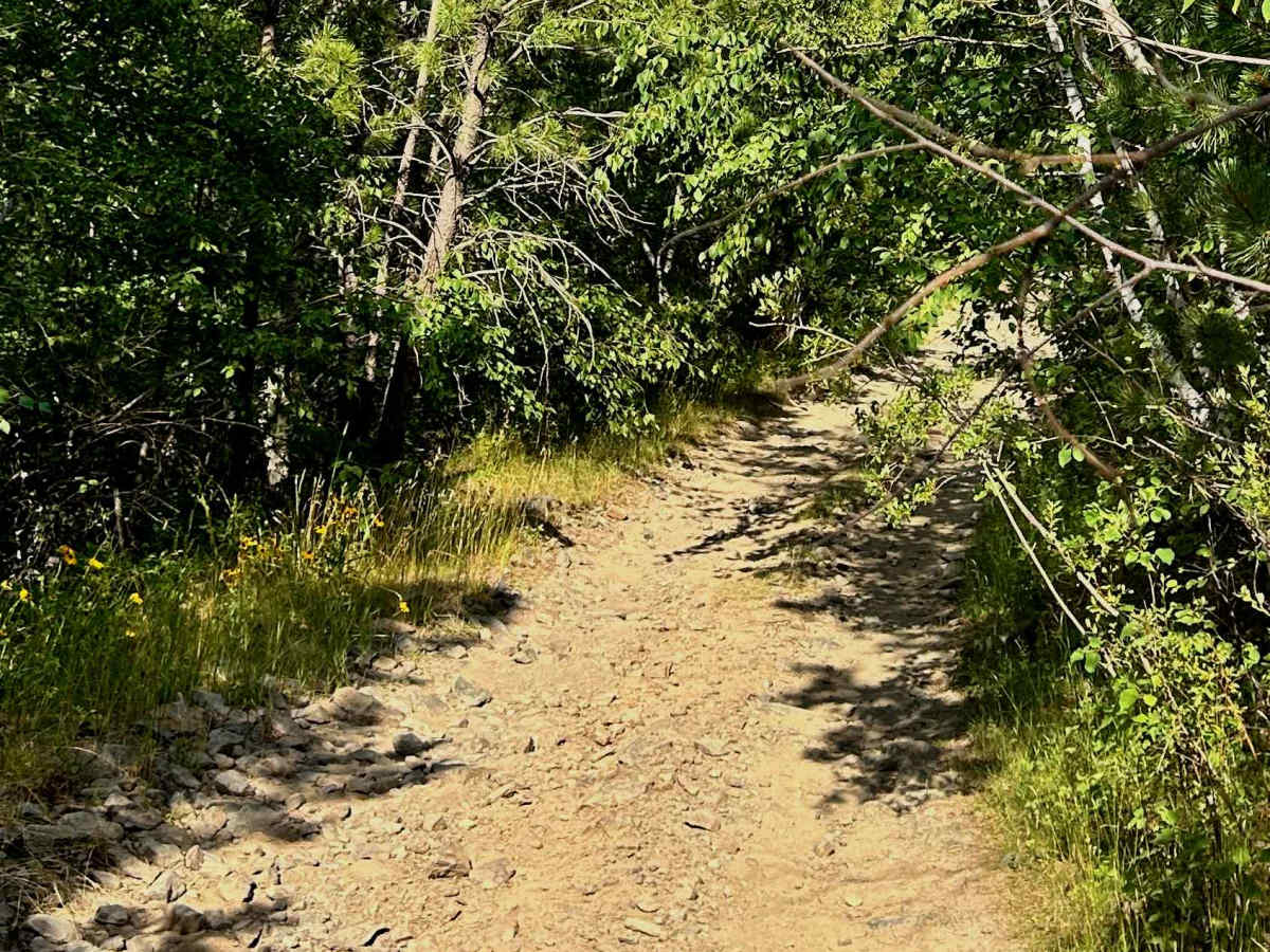
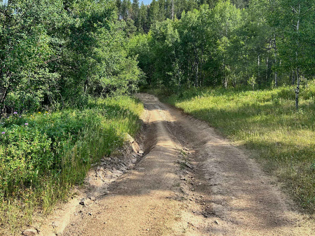
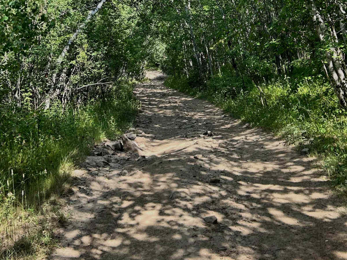
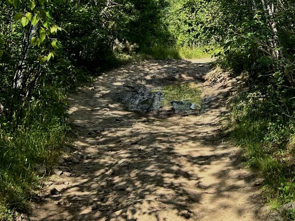
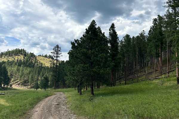
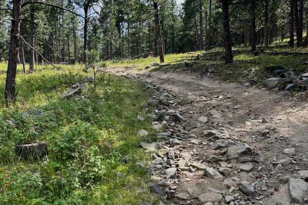
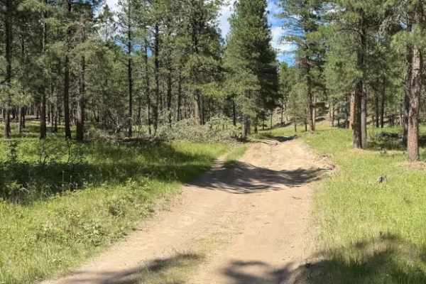
The trail is very narrow in several places, so full-size vehicles should expect some branches brushing along the sides and roof. Drivers of wider rigs will want to take their time to avoid unnecessary pinstriping. The surface is made up primarily of loose rock, with limited room to maneuver around some of the larger obstacles. Several rocks approach 12 inches in height, making a high-clearance vehicle highly recommended. Careful tire placement and slower speeds will help you navigate the rougher sections safely. During wet weather or the spring thaw, use extra caution. The rocks can become extremely slick, reducing traction and making climbs and descents more challenging. One of the highlights of this trail is the scenery. The forest stays close to the trail, creating a secluded feel, while the rocky cliffs along the north side provide beautiful views of the surrounding landscape and are worth taking a moment to enjoy. Overall, this is a fun, technical connector trail that rewards careful driving with great scenery. If you enjoy rocky terrain and don't mind a little trail pinstriping, it's a worthwhile addition to your route. As always, stay on designated trails, respect the surrounding environment, and practice Leave No Trace by packing out everything you bring in and leaving only footprints.

 Offroad