Trail Overview
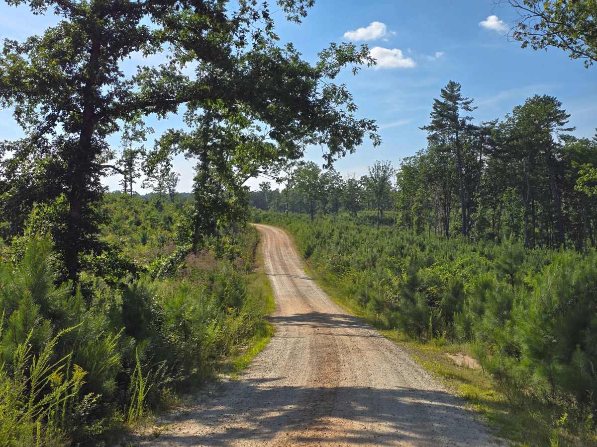
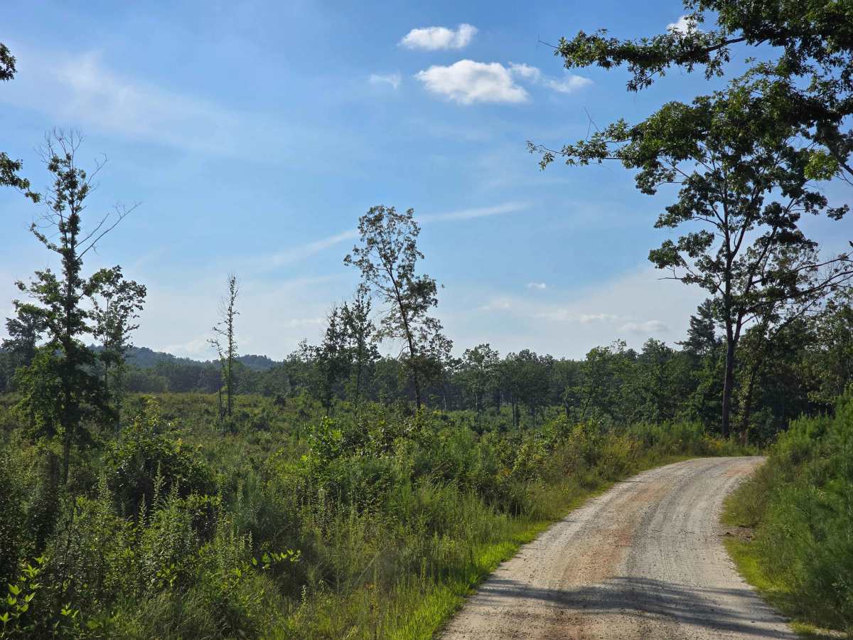
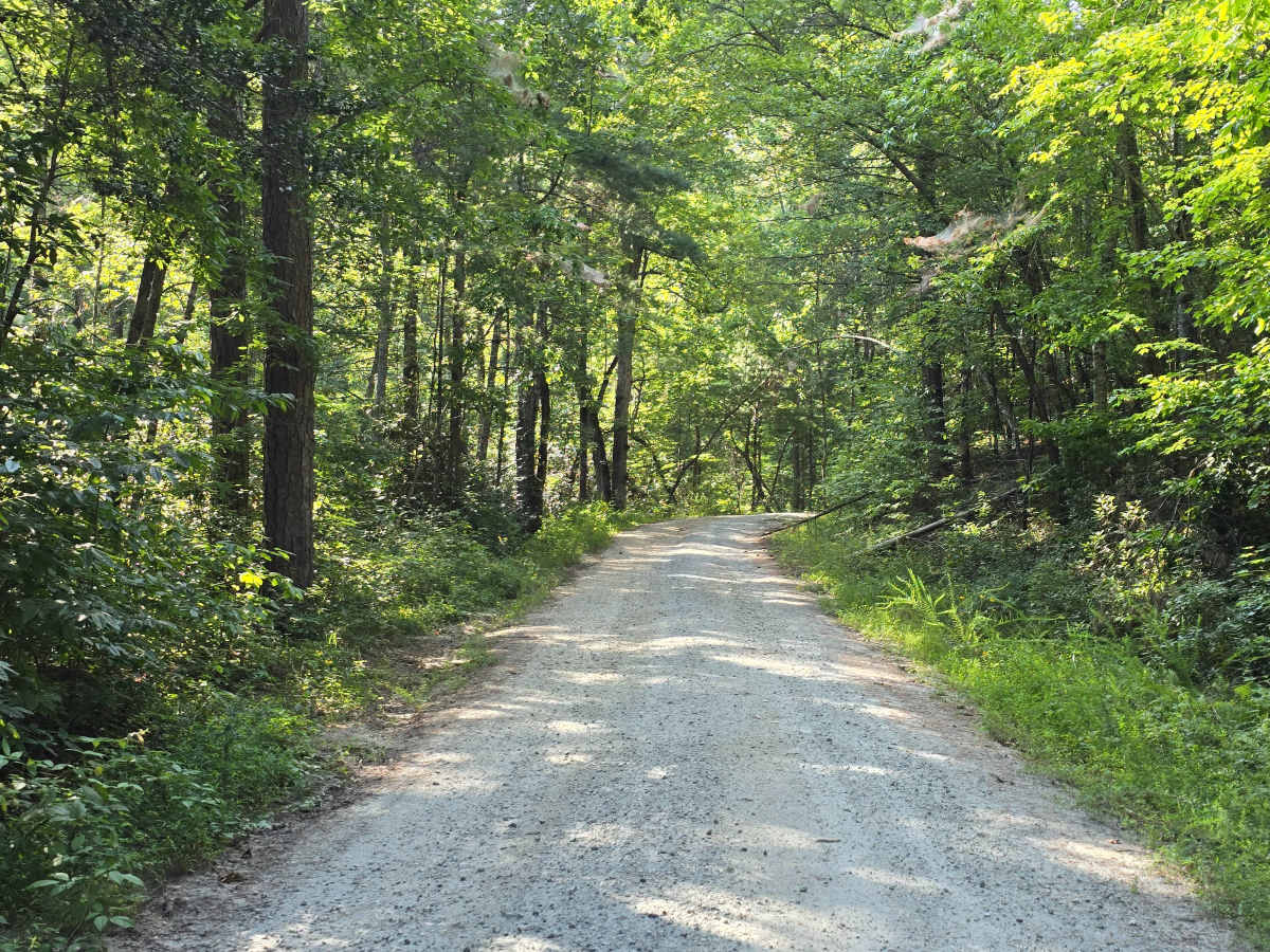
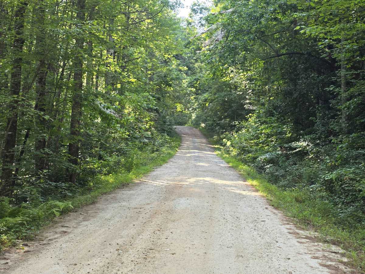
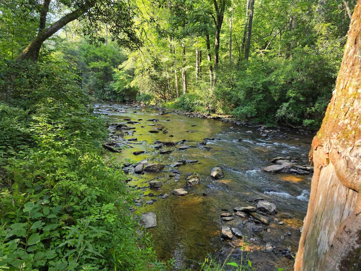
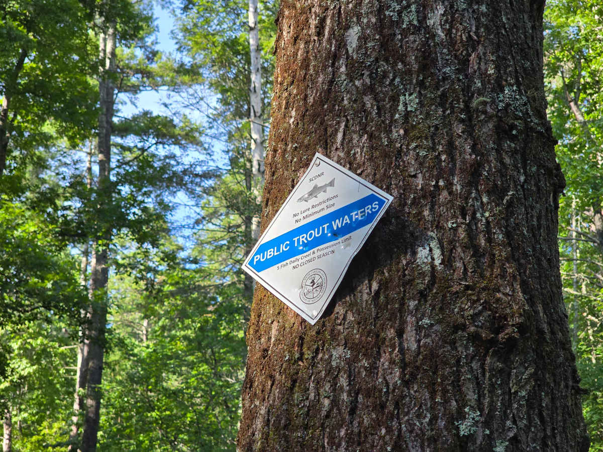
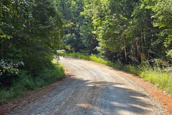
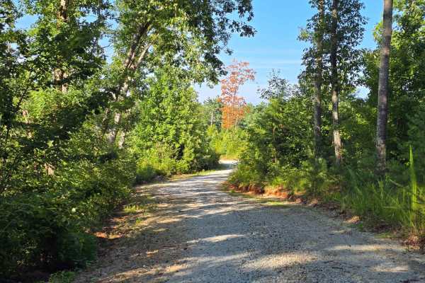
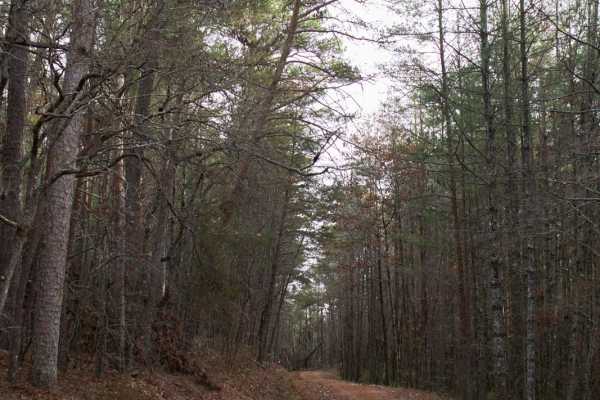
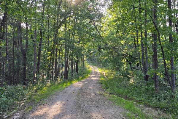
Grapevine Branch - FS 764 runs east off Chattooga Ridge Road, about 1.4 miles south of the Whetstone Road intersection. This 1/10 trail is graded gravel the whole way and stays easy start to finish. The first half runs through recently logged country — open sky, young pines, and long views across the cut — before dropping back under mature canopy for the descent to the end. The road terminates at Grapevine, a primitive Forest Service campground along the Chauga River that operates year-round with no reservations and no fees. Sites have fire rings and lantern posts; there's a vault toilet on site, and there's no potable water — bring your own or plan to filter. Sites are well spaced, and most of them sit riverside, with the standard 14-day limit posted. The Chauga here is signed as SCDNR Public Trout Waters, five-fish daily creel limit, no closed season. The open logged stretch makes this a brighter drive than most of the tunnel-of-trees roads in this district.