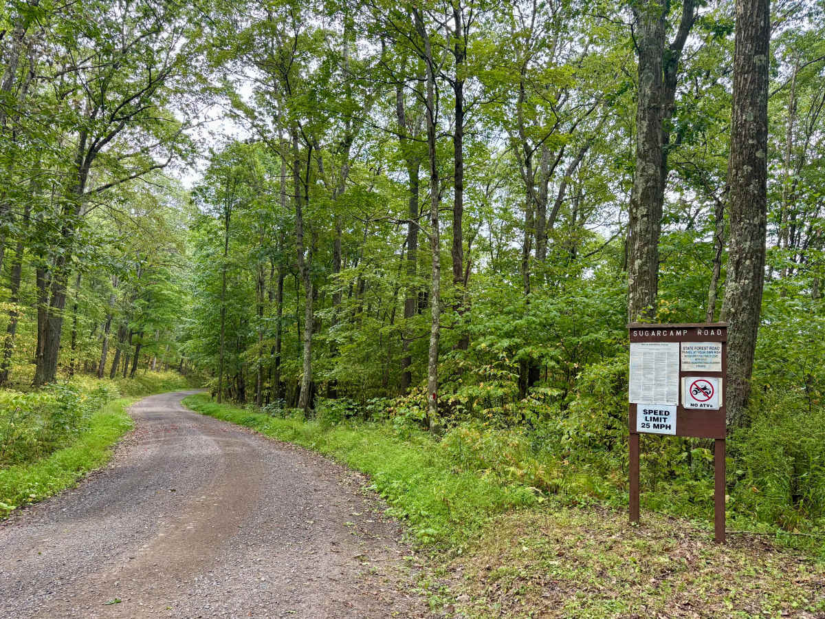
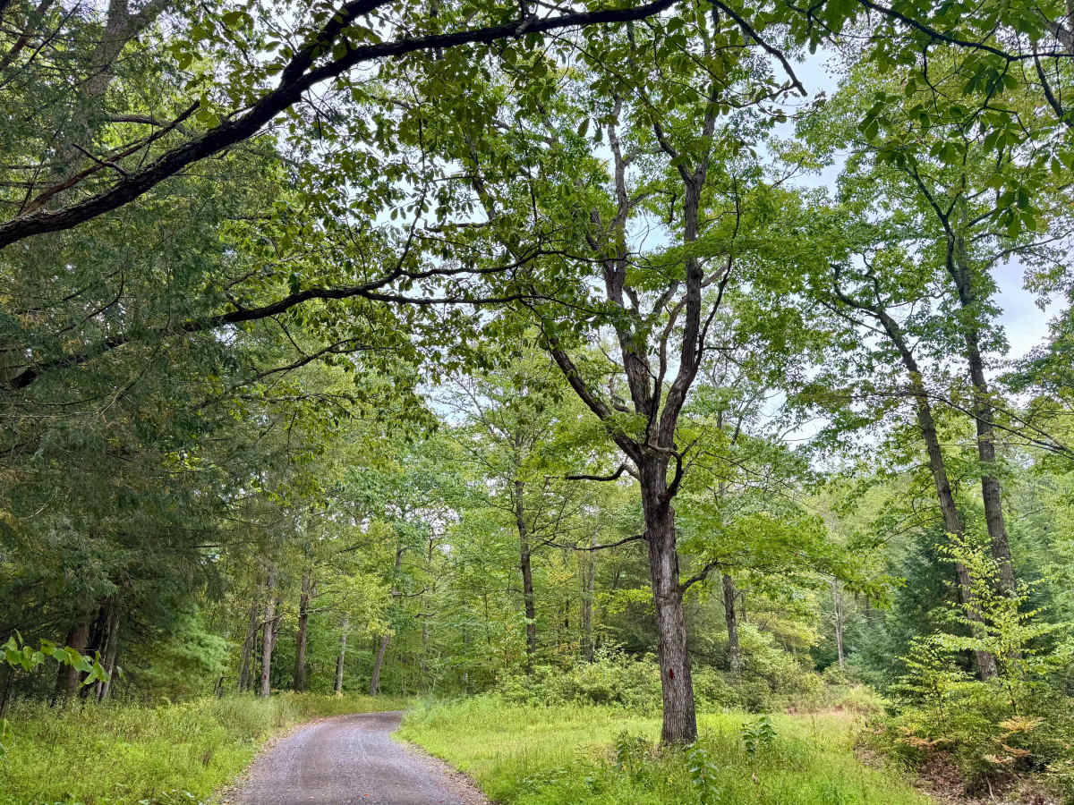
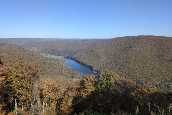
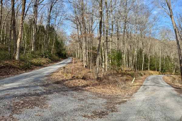
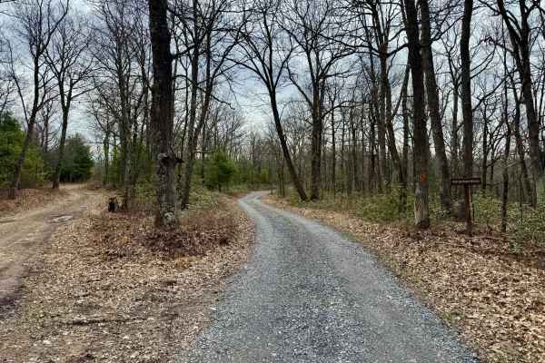
Trail Overview
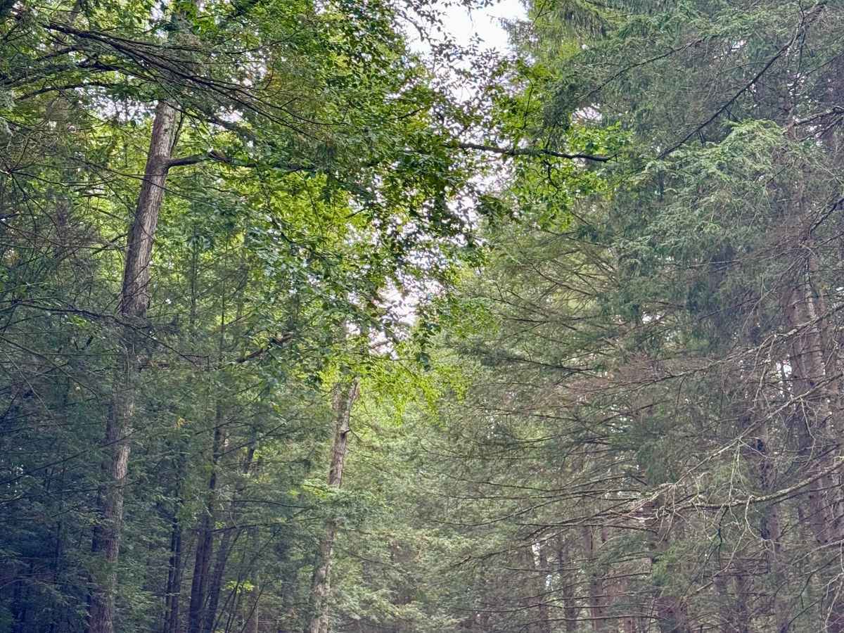
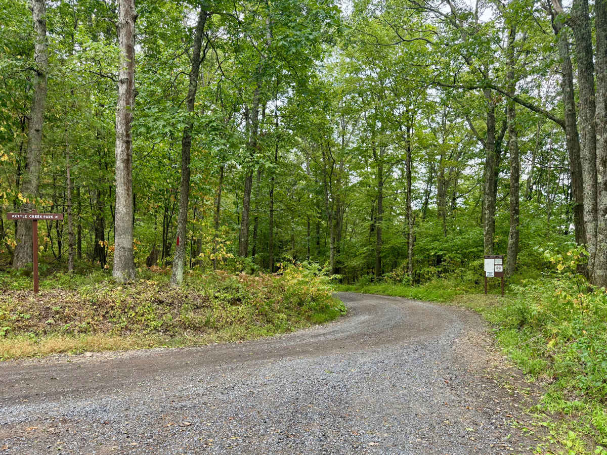
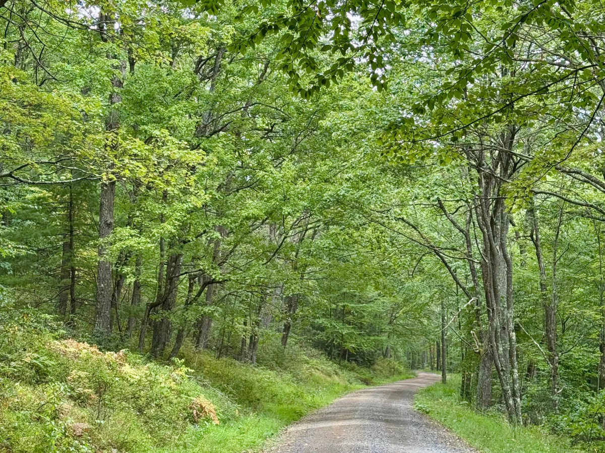
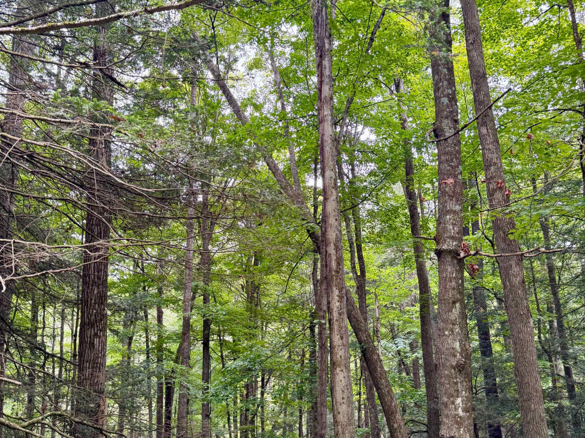
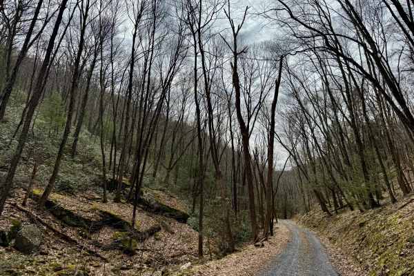
A scenic forest road that drops from the ridge that Montour Road follows down to 856 feet above sea level at Kettle Creek State Park near the upper campground and the south end of the lake. It's generally well maintained, though to the east, there can be flooding after rain. Stay on the trail and respect the private property it passes through near midway, and watch for the signposts at the intersection with Crawford Road and Crawley Road to stay on the track. At the lower elevation, there is more coniferous forest than the deciduous forest up on the ridge. There are no dispersed motorized camp sites on this road, but Montour and Crawley feature some (reservation required), and there are two campgrounds associated with Kettle Creek State Park.
Difficulty
This is a standard Pennsylvania state forest road. It should be passable by all street-legal vehicles, with the exception of the potential for water across the east end of the road after rain, which could require high clearance. Winter travel may be challenging as well.
History
The name “Sugar Camp” likely refers to sites where maple syrup was produced. These camps (also called sugar shacks or sugar bushes) were common throughout Pennsylvania’s hardwood forests, and Elk State Forest—known for its maple stands—would have hosted several sites where families or communities tapped sugar maple trees for sap to boil into syrup.