Trail Overview
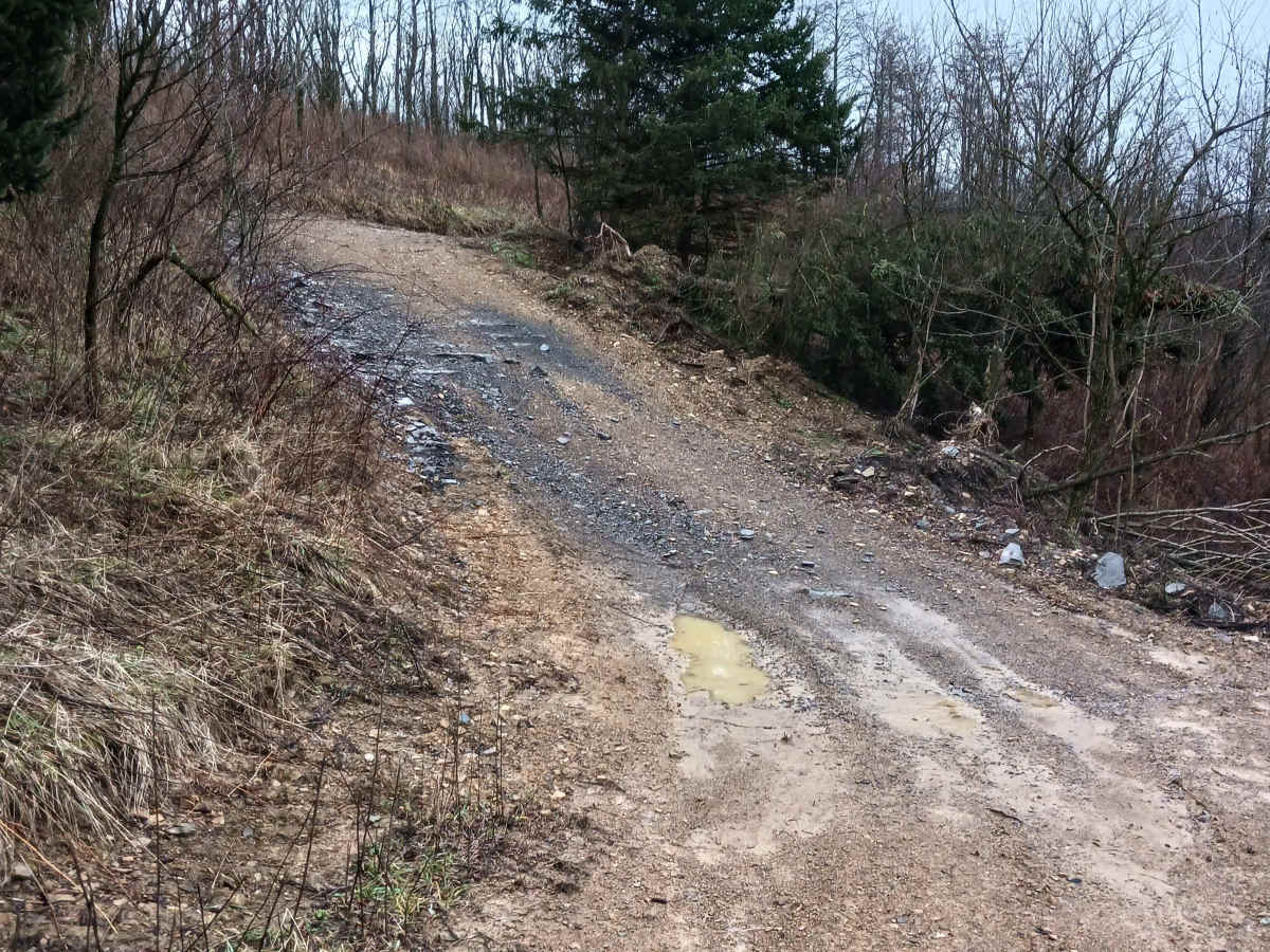
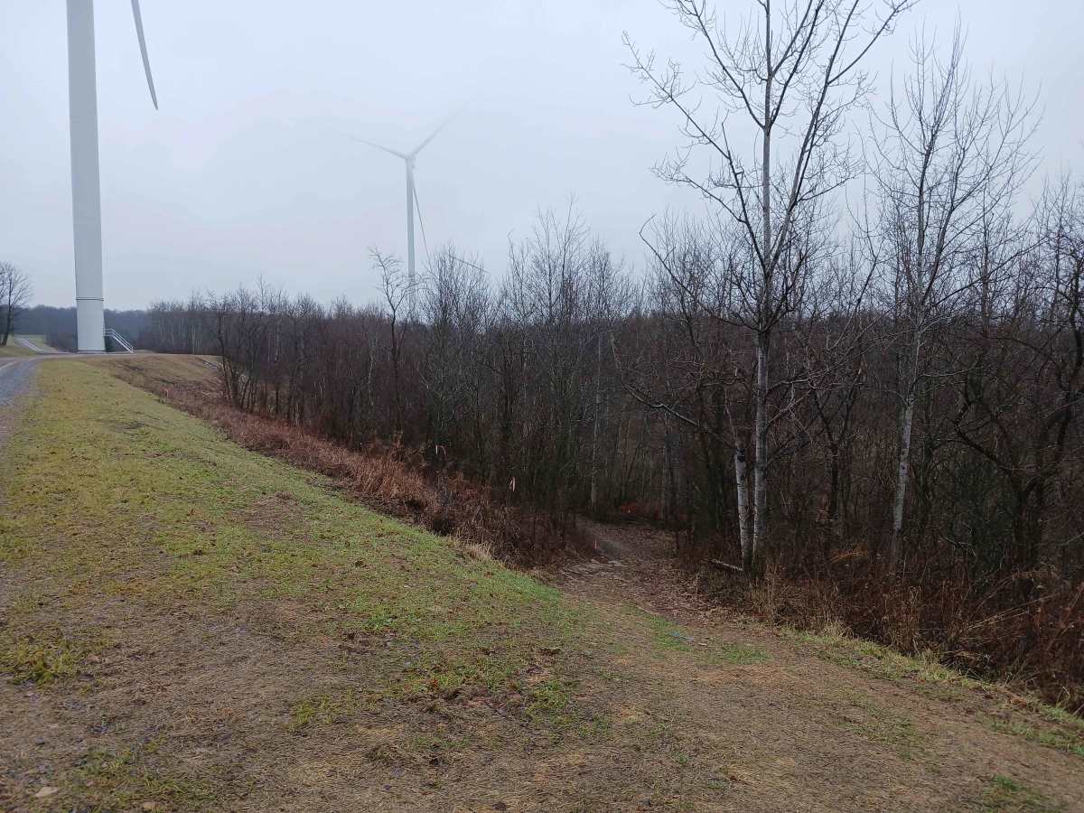
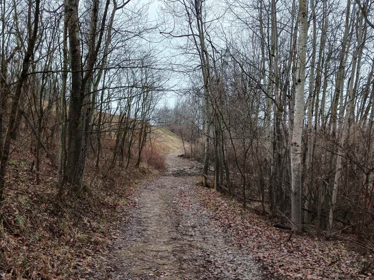
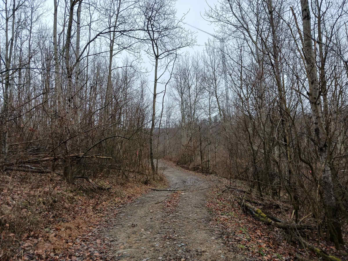
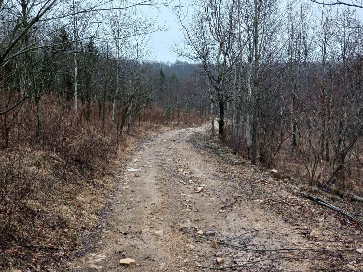
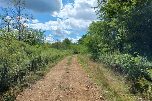
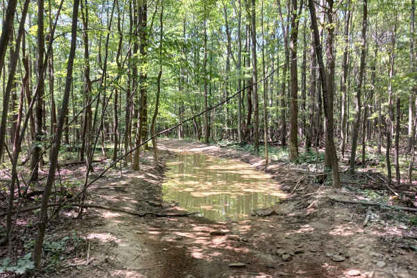
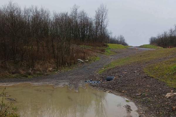
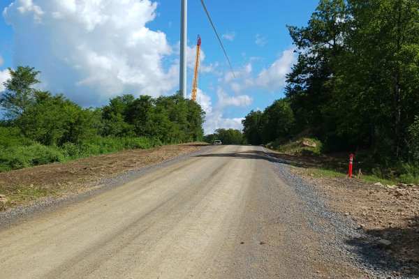
Rouges Path - A trail of Rock Run Recreation Area. Rouges Path is an original trail to the park, though it was impacted and rerouted in a few locations due to the windmill construction project in 2025. At 1.2 miles in length, Rouge's Path covers a variety of terrain. It is both embedded and loose rock, along with some potential rutting and changing conditions due to water runoff. There are tighter sections due to trees and areas that are more open. It travels through both the woods and open areas and does change elevation in several areas, travelling short, steep grades. One end starts at Rogue's Harbor Road, and the other end at Golden Arch Trail. There is one short trail midway that exits to the Golden Arch Trail; otherwise, there are no intersecting trails. It is a one-lane wide trail with places to pass. Rouges Path should be able to be traversed by most any rider on a motorcycle, ATV, or SxS. This trail is open to bikes, ATVs, and SxSs. This is a two-way trail and offers a different experience riding it both directions. Trail driven and documented in January 2026.
Difficulty
This is an uneven, rutted dirt trail with loose rocks and washes, mud holes, and tight, steep grades. The trail is one vehicle wide with limited places to pass.