Trail Overview
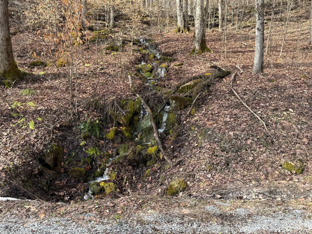
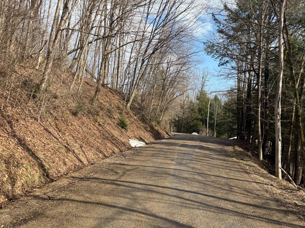
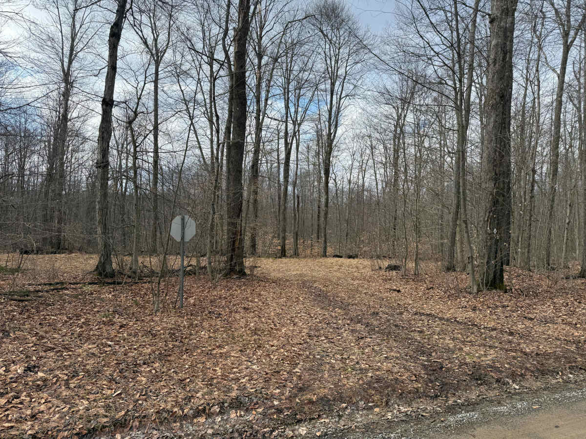
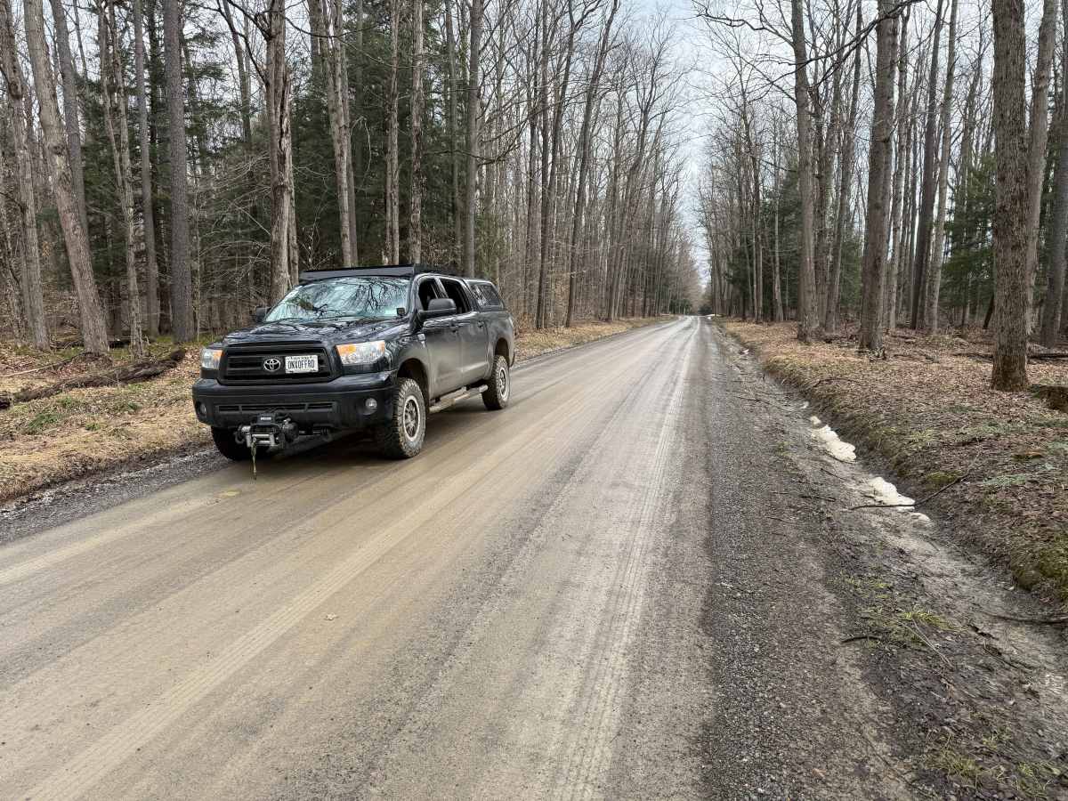
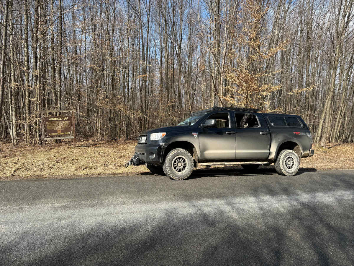
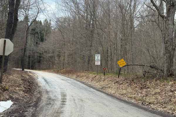
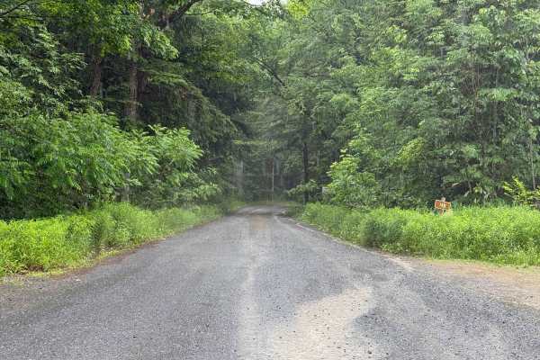
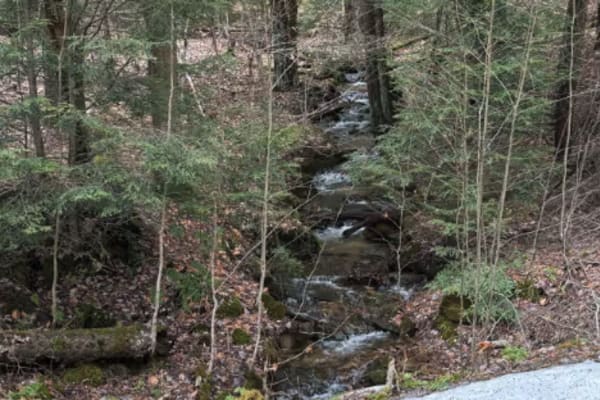
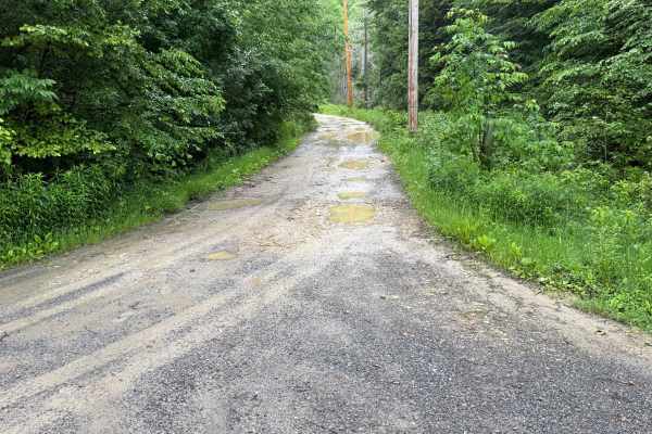
Forest Service Road 128 (FS 128) in the Allegheny National Forest is a designated, maintained route accessible for motorized travel. It is part of the extensive road network managed for scenic driving, recreation, and resource access within Pennsylvania's only national forest. The surface is packed dirt with a few potholes. Along FS 128, you will find small streams coming down off the hillsides that contribute to the forest scenery. You will also find wetlands along this road. There are a few dispersed camping spots along the route. Accessibility: Like many forest roads, its condition can vary, and it is best to check the Allegheny National Forest Motor Vehicle Use Map (MVUM) for the latest information on its status. Conditions are also subject to weather and seasonal changes. https://www.fs.usda.gov/r09/allegheny
History
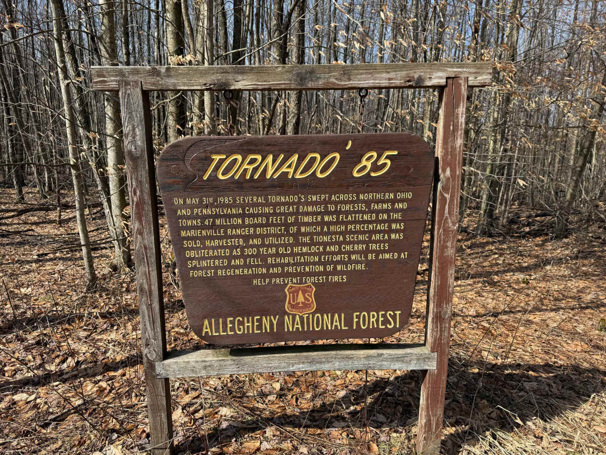
On the evening of May 31st, 1985, a devastating and deadly tornado outbreak struck the Northeastern United States and Canada. 43 tornadoes and numerous damaging thunderstorms tore across Ohio, Pennsylvania, New York, and Ontario. This event was the deadliest tornado outbreak of the 1980's; killing 89 people in total, injuring more than 1,000 others, and racking up more than $600 million in property damage. In fact, since May 31, 1985, only two tornado days have been deadlier in the entire United States. https://pawilds.com/1985-tornadoes-anf/