Cherry Run B - FS 148B

Total Miles1.4
Technical Rating
3Easy
Best TimeSpring, Summer, Fall, Winter
Trail TypeFull-Width Road
Accessible By
Open Trail Map

Trail Overview

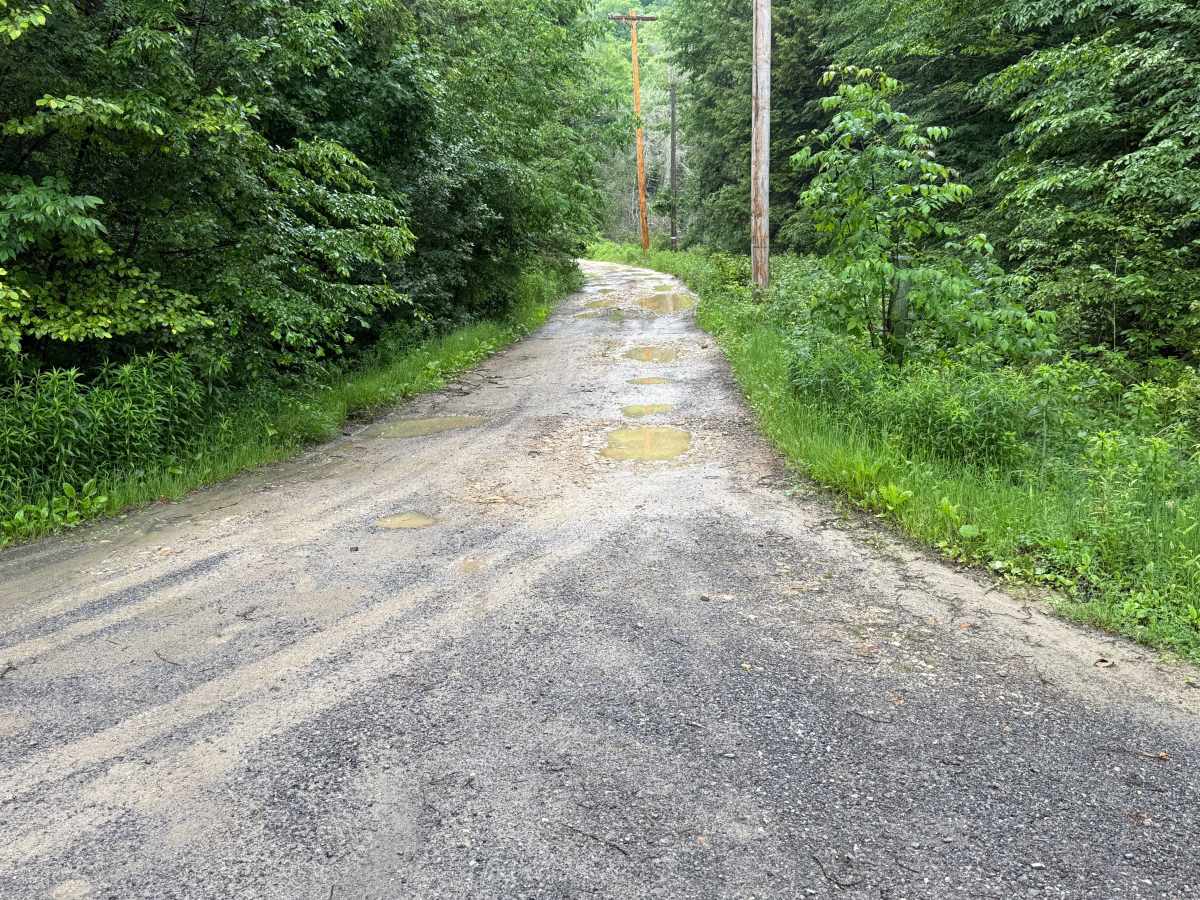
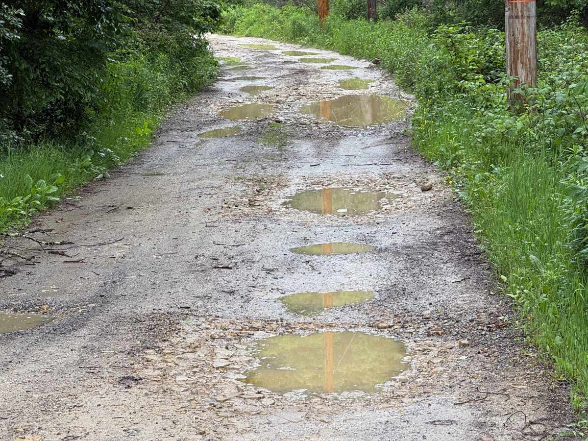
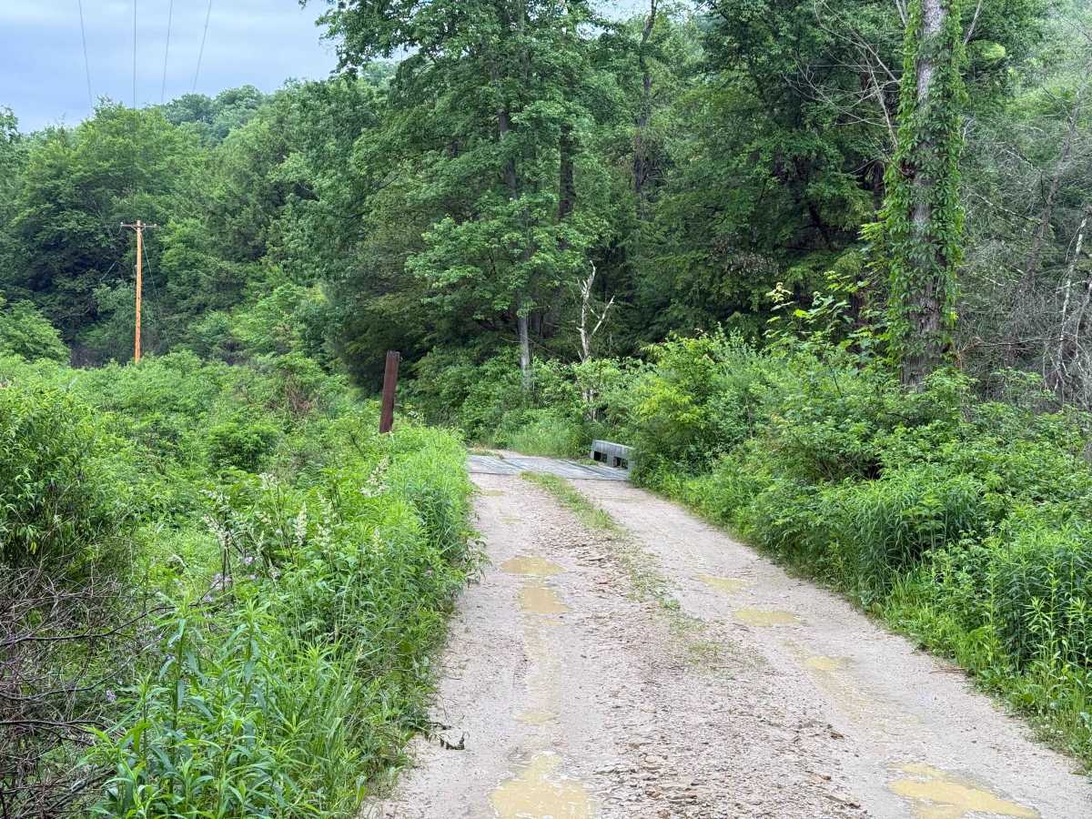
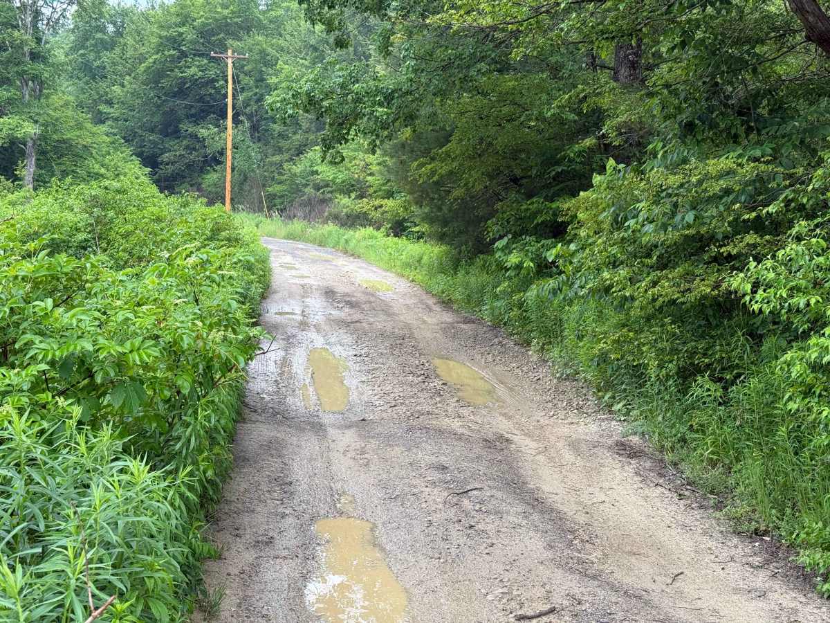
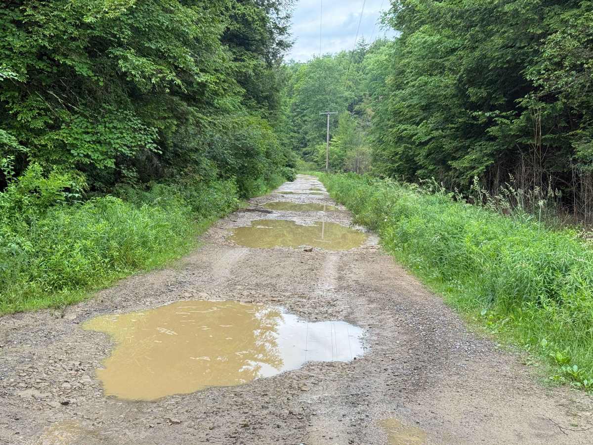
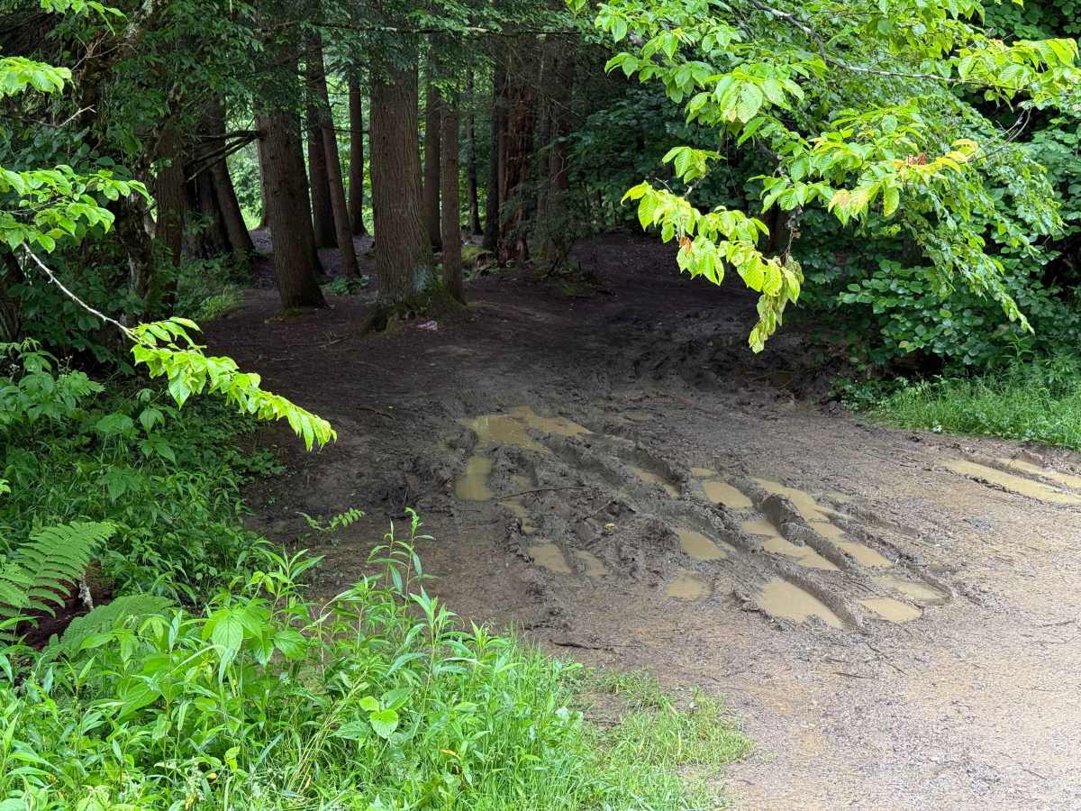
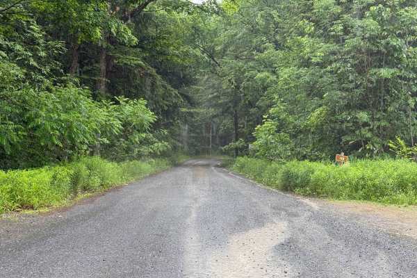
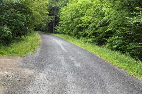
Cherry Run B - FS 148B is a spur off from Cherry Run. It follows the South Branch of Tionesta Creek and has a handful of camping spots. The surface of the road is very muddy with numerous potholes. Slow travel is suggested. High clearance vehicles are required. Engaging 4 wheel drive is most likely needed. This road is likely not traveled by too many. There are also signs of wildlife in the area, so keep pan eye out for Bears. Accessibility: Like many forest roads, its condition can vary, and it is best to check the Allegheny National Forest Motor Vehicle Use Map (MVUM) for the latest information on its status. Conditions are also subject to weather and seasonal changes. https://www.fs.usda.gov/r09/allegheny

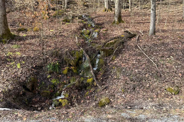
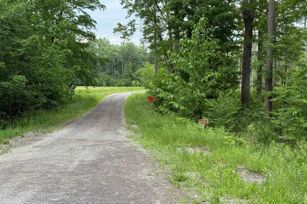
Photos of Cherry Run B - FS 148B

Difficulty

The surface of the road is very muddy with numerous potholes. Slow travel is suggested. High clearance vehicles are required. Engaging 4 wheel drive is most likely needed.

Technical Rating

3

Cherry Run B - FS 148B Trail can be accessed by the following ride types:

  • High Clearance
  • Full Width

Cherry Run B - FS 148B Map

The onX Offroad Difference

onX Offroad combines trail photos, descriptions, difficulty ratings, width restrictions, seasonality, and more in a user-friendly interface. Available on all devices, with offline access and full compatibility with CarPlay and Android Auto. Discover what you're missing today!

Open Trail Map