Trail Overview
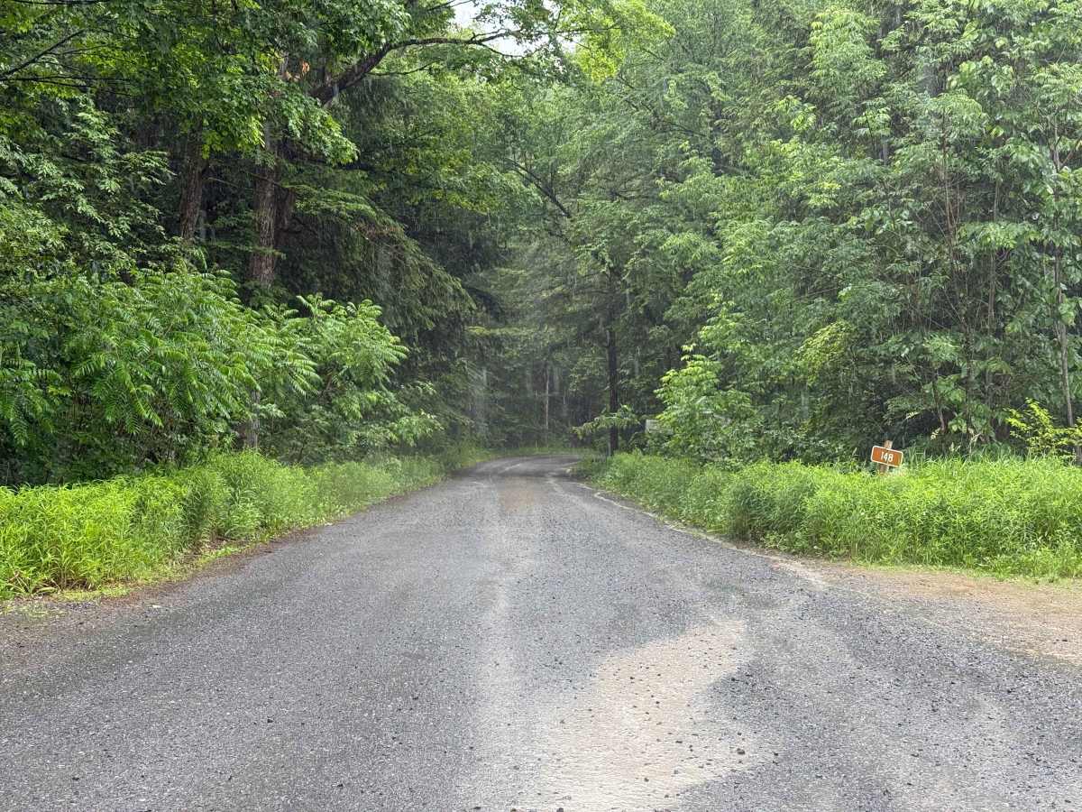
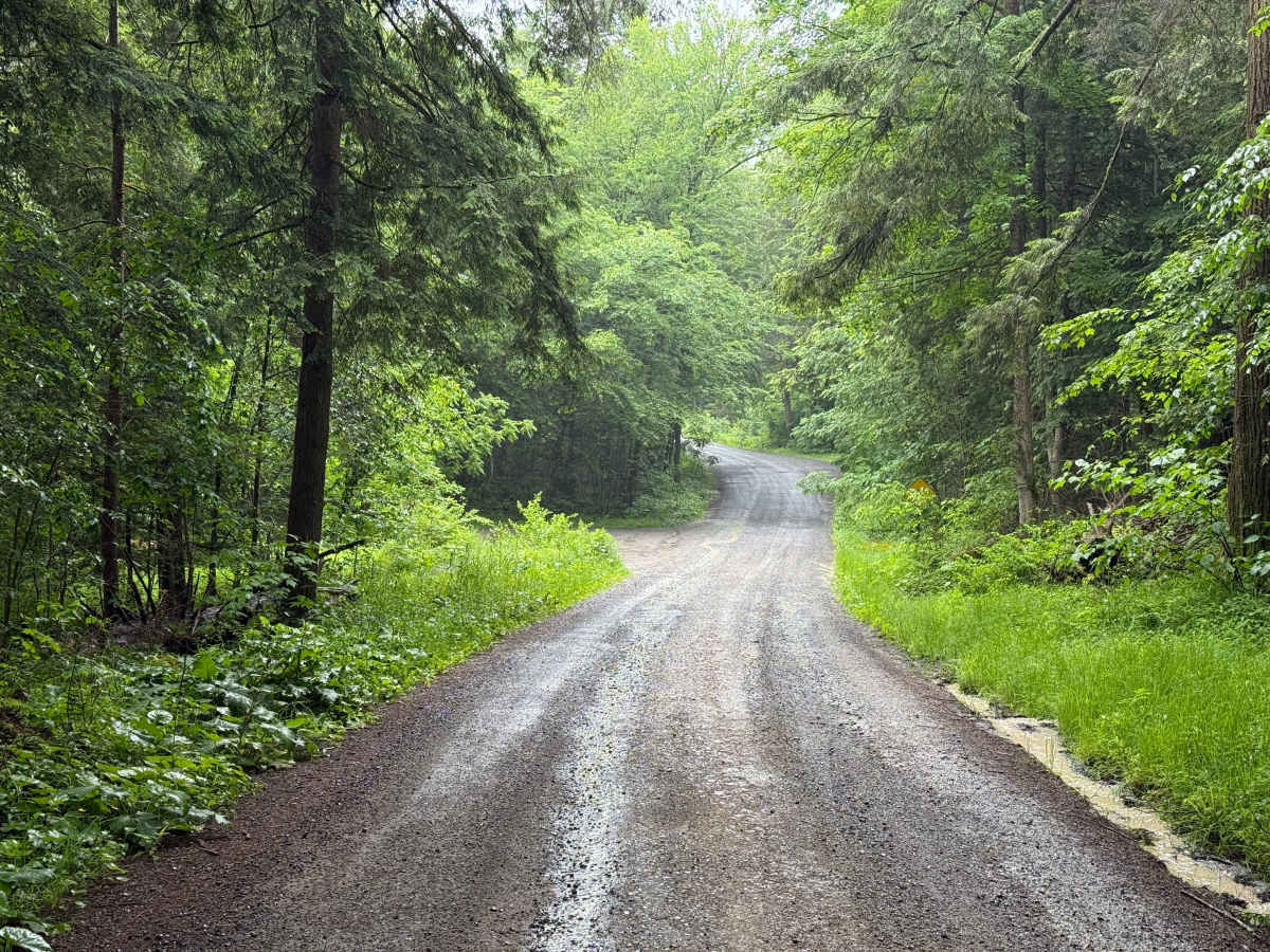
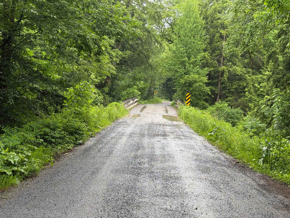
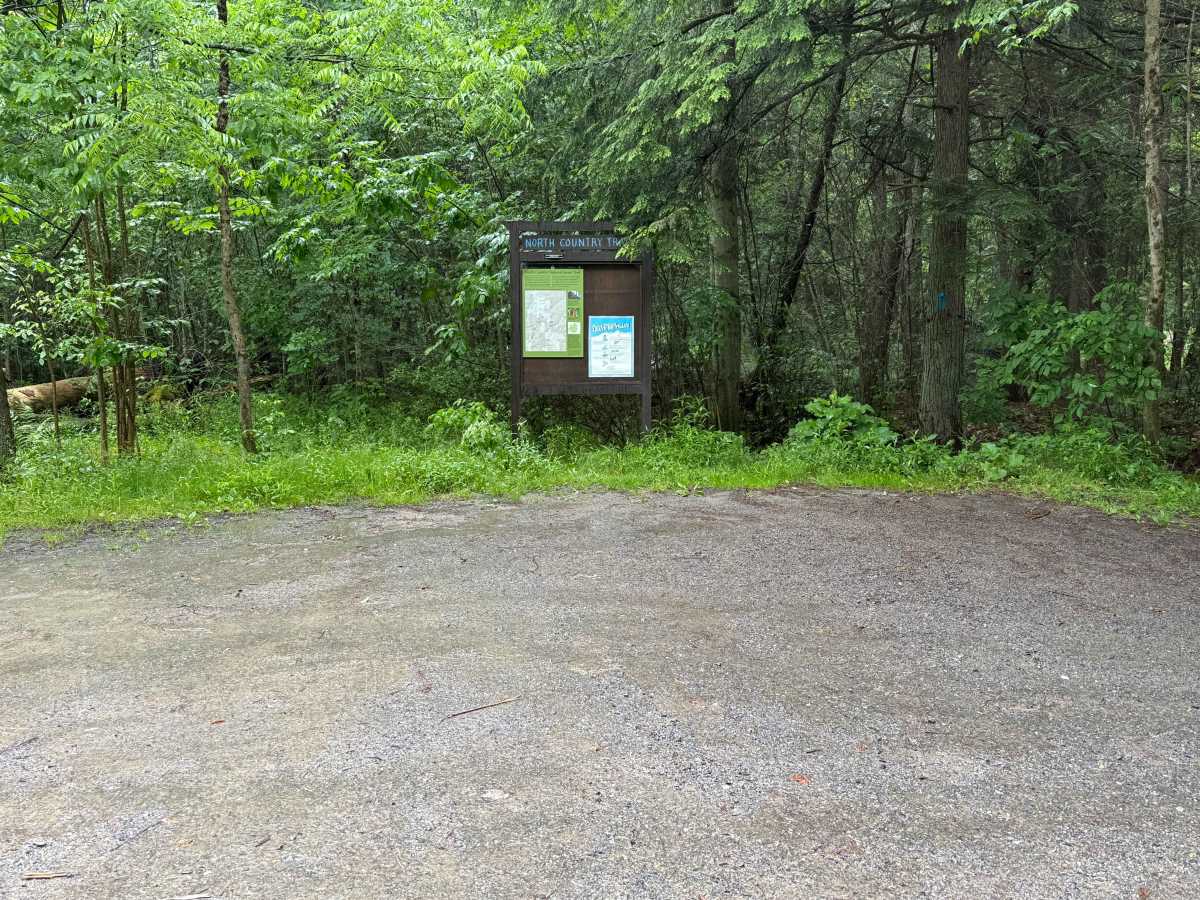
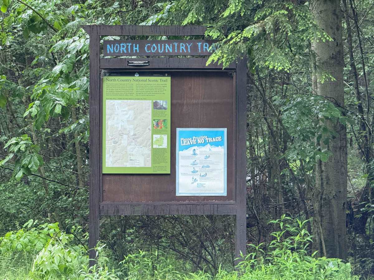
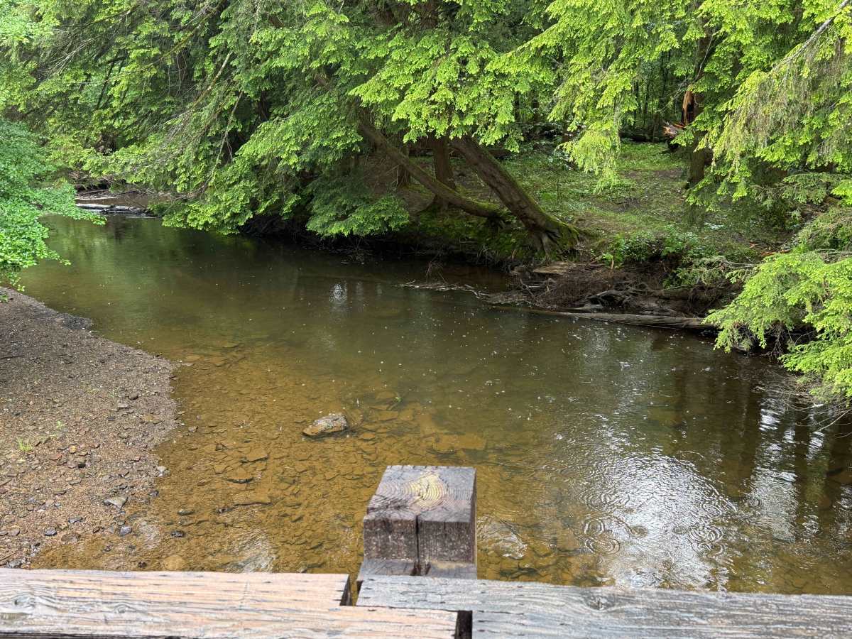
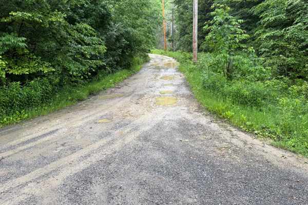
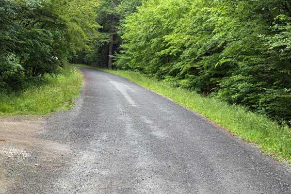
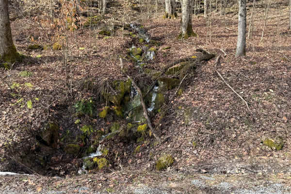
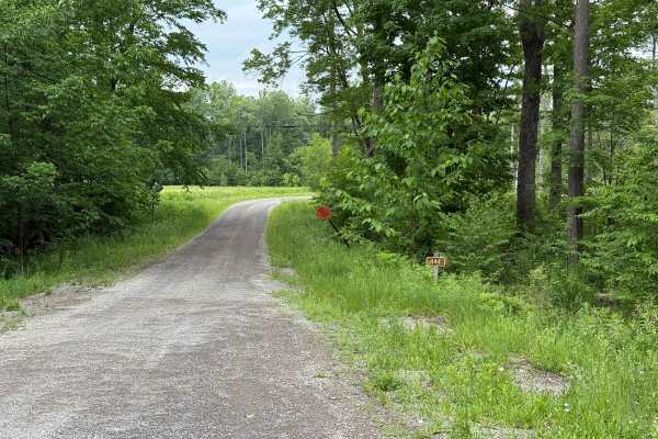
Cherry Run - FS 148 is off from Route 848 just North of Brookston, PA. About 1/4 mile in, right after a single-lane bridge, is a parking area that serves two purposes. One, you can park to fish the South Branch of Tionesta Creek. It holds a variety of fish, most of which go for the Trout. Second is the Trail Head for the North Country Trail, which is a very popular hiking trail through the Allegheny National Forest. This road is open year-round to highway-legal vehicles only. Cherry Rin is a mix of gravel and dirt. There are various potholes along Cherry Run. The drive through the Hemlocks is stunning. There are a few power lines you will cross and views for miles. Accessibility: Like many forest roads, its condition can vary, and it is best to check the Allegheny National Forest Motor Vehicle Use Map (MVUM) for the latest information on its status. Conditions are also subject to weather and seasonal changes. https://www.fs.usda.gov/r09/allegheny