Trail Overview
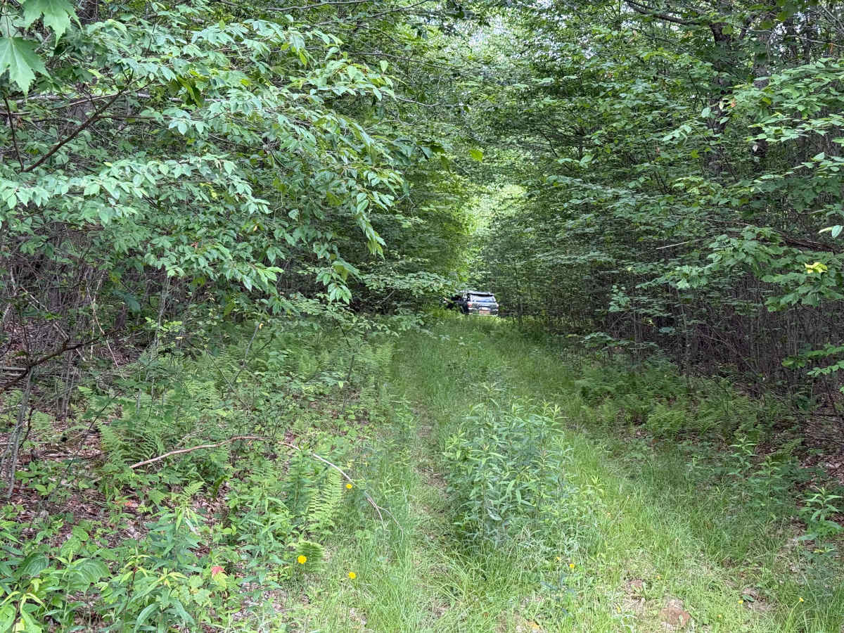
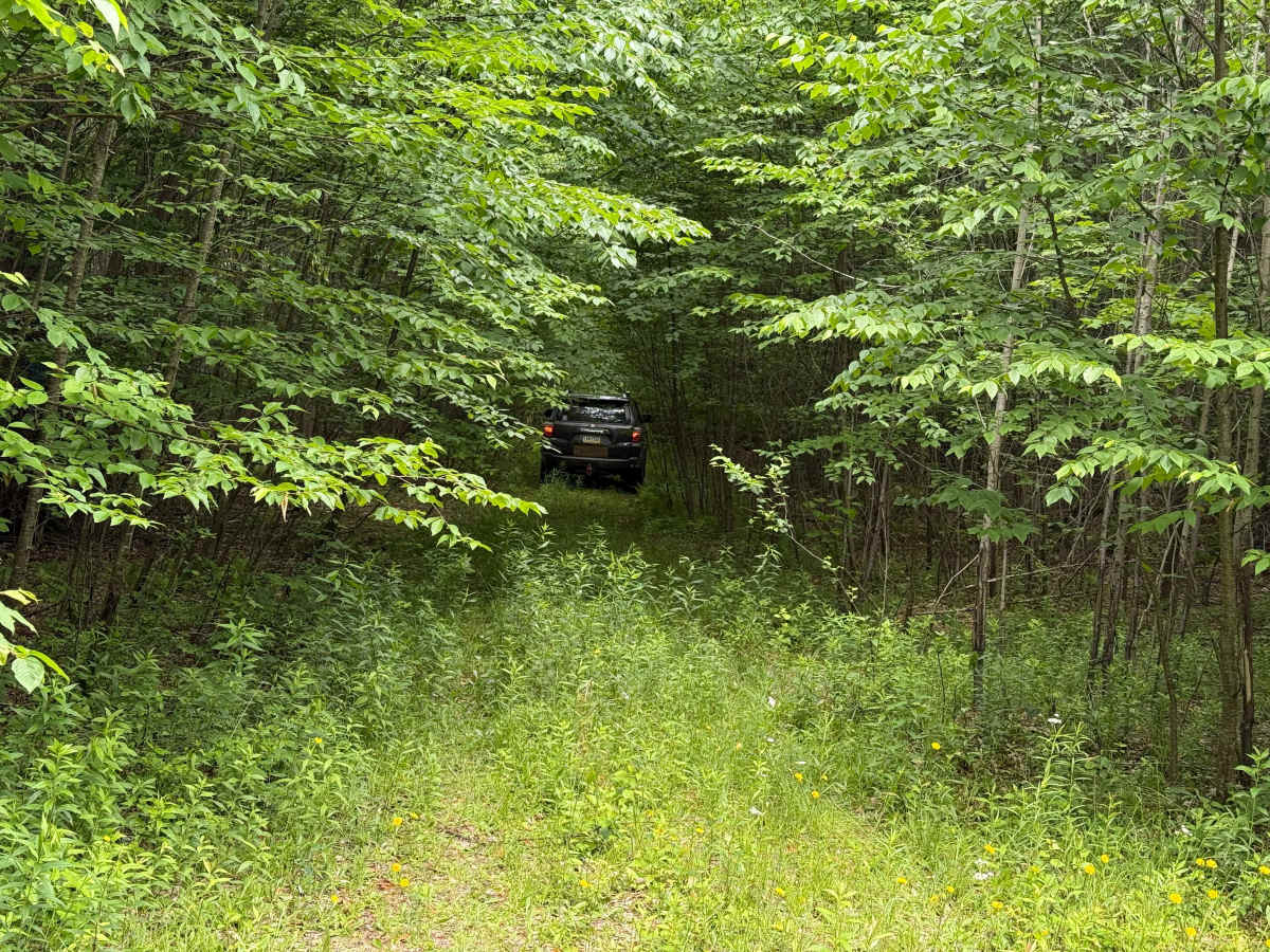
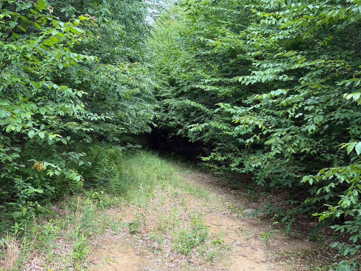
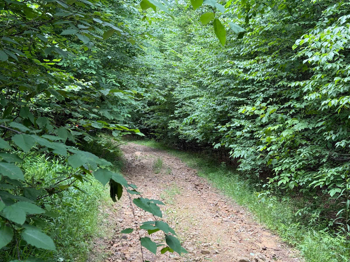
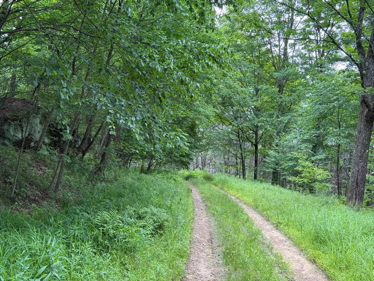
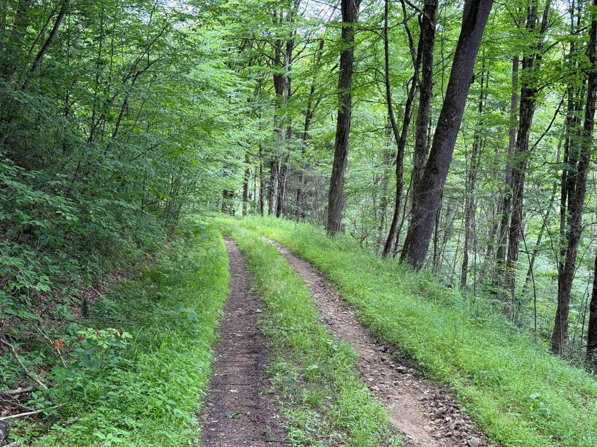
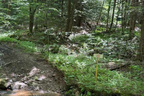
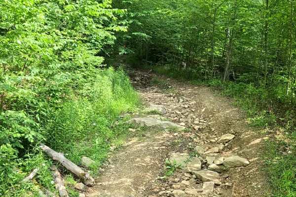
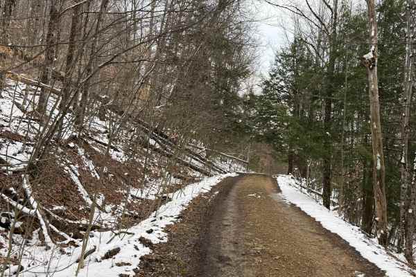
Barker Trail has quite a bit of overgrowth. It's still open to full-size 4x4 high clearance vehicles, but expect tight sections with brush contacting your vehicle. Taking it slow and carefully picking your line is recommended. About 0.2 miles in, the trail becomes heavily overgrown. Small branches will pinstripe your vehicle and may leave minor surface marks, but nothing too concerning. The trail then opens into a clearing. At the clearing, make a left to continue on the overgrown section of the trail. The trail remains overgrown. Several hundred feet before reaching the next clearing, stay as far to the right as possible through a tight drop-down section. Take it slowly, then make a left and continue along the trail. The trail continues through more overgrowth before reaching another clearing, which brings you near the end of the loop. At this clearing, make a right and continue downhill. This section has several decent-sized ruts and rough terrain, so continue at a slow pace. The trail is still somewhat overgrown, but not as heavily as the earlier sections. Watch for a fairly deep rut on the right side of the trail. The trail begins to open up, although there is still some brush along the edges. At approximately 0.9 miles, you'll cross a small stream. There is a washout on the right side of the trail near the crossing, so stay to the left to avoid it. At 1.1 miles, you'll encounter a few small mud holes which are easily navigable. At 1.5 miles, there's a downed tree along the left side of the trail. Stay as far right as practical to get around it, but be careful not to get too close to the drop-off on the right. After descending the small hill beyond the tree, you'll reconnect with the main route, completing the loop and returning to the trail you entered on. Accessibility: Like many forest roads, its condition can vary, and it is best to check the Allegheny National Forest Motor Vehicle Use Map (MVUM) for the latest information on its status. Conditions are also subject to weather and seasonal changes. https://www.fs.usda.gov/r09/allegheny

 Offroad