Trapper Creek

Total Miles6.8
Technical Rating
1Easy
Best TimeSpring, Summer, Fall
Trail TypeFull-Width Road
Accessible By
Open Trail Map

Trail Overview

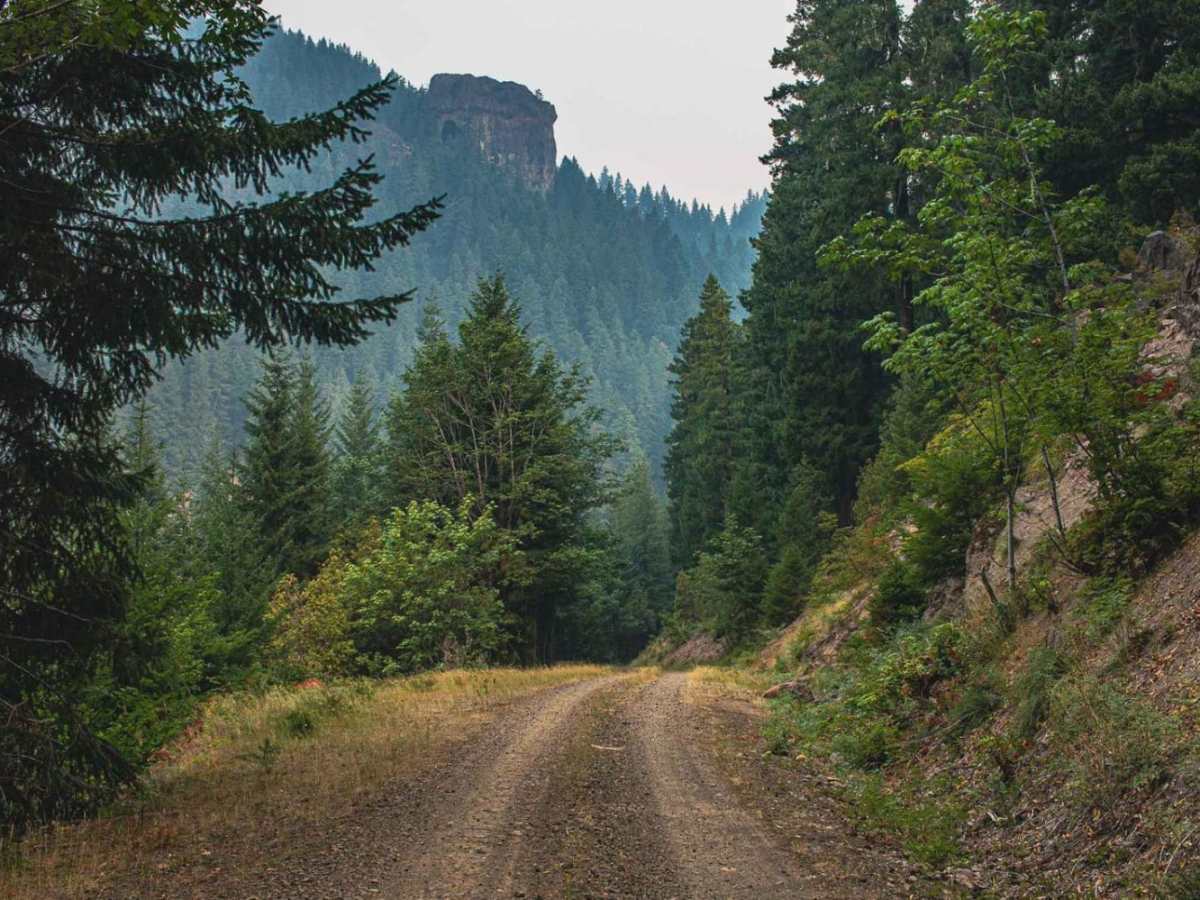
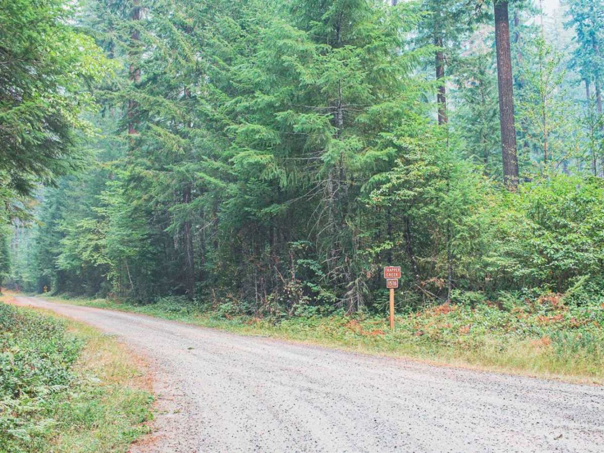
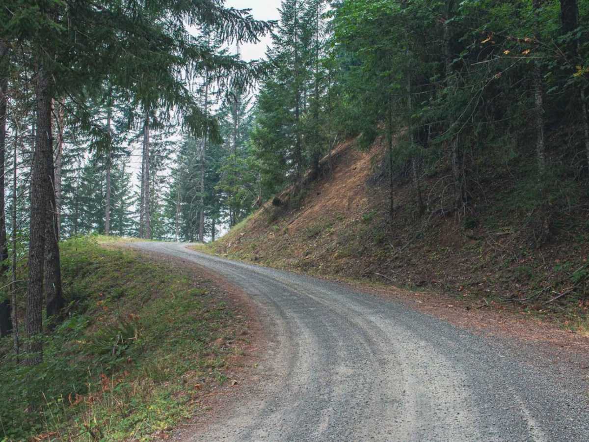
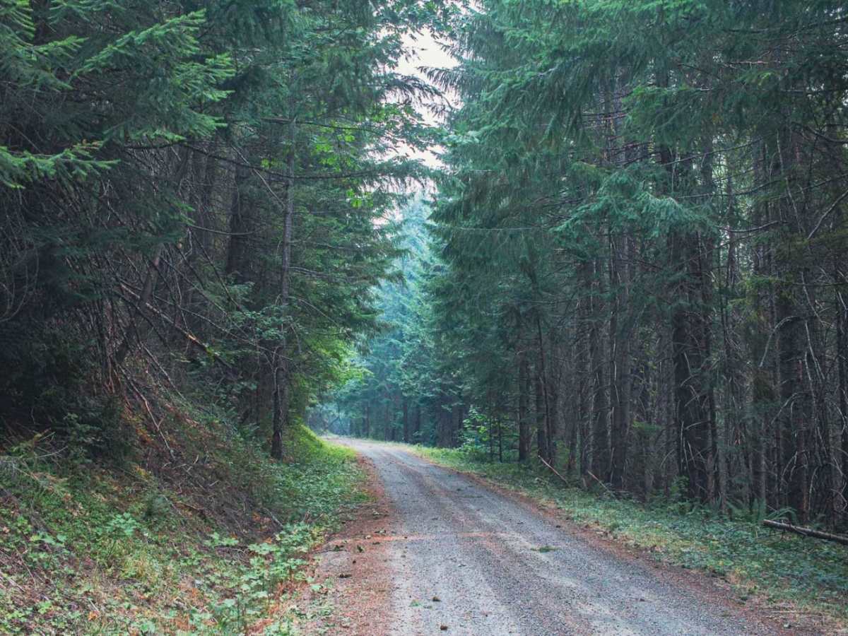
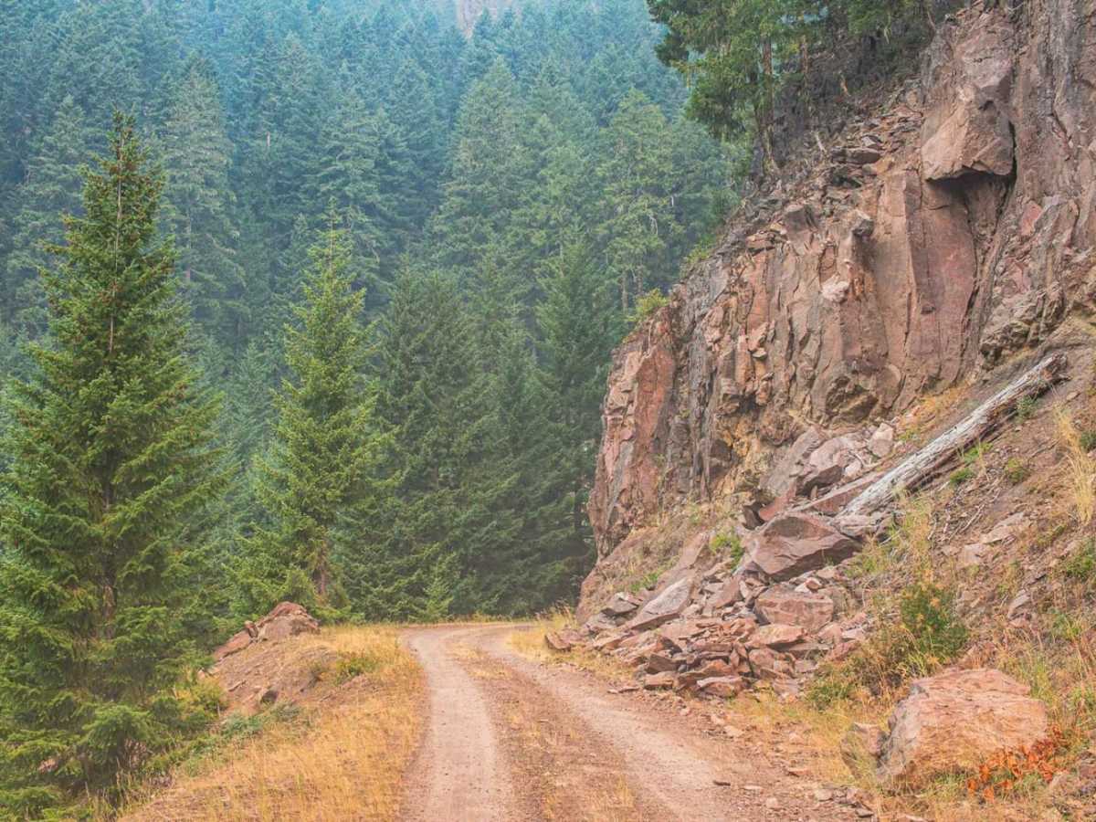
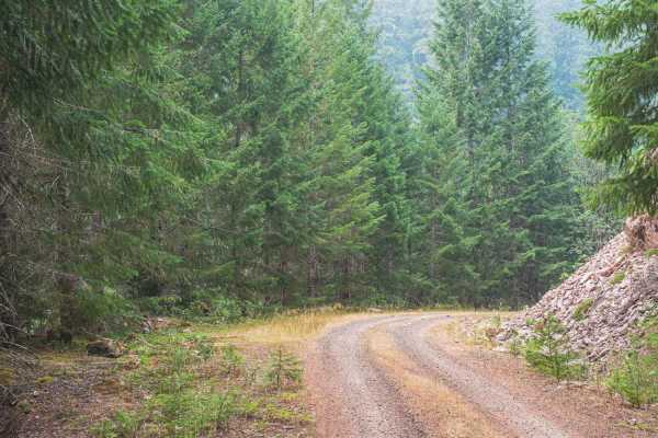
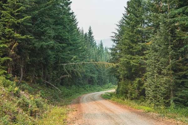
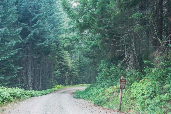
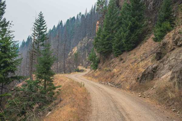
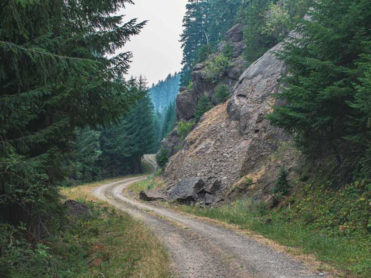
Trapper Creek Road #1516 is an easy 6.8-mile drive through the Willamette National Forest. This single-lane road features a mix of gravel and dirt, climbing from 2,204 feet to 4,008 feet with 2,142 feet of elevation gain. The route winds through dense timberland near Quentin Knob, requiring drivers to use small turnouts to pass oncoming traffic on the narrow shelf. Notable sights include unique rock formations and a cave-like recess adjacent to the road. While rated as a beginner-friendly 1, the road is unmaintained following rain or snow, which often deposits rocks and debris. Standard two-wheel-drive vehicles can navigate the route in dry summer conditions, but high-clearance vehicles are recommended during wet seasons.

Photos of Trapper Creek

Difficulty

typically unmaintained after rain or snow

Technical Rating

1

Trapper Creek Trail can be accessed by the following ride types:

  • Single Track
  • 50 Inch
  • 60 Inch
  • High Clearance
  • Full Width

Trapper Creek Map

The onX Offroad Difference

onX Offroad combines trail photos, descriptions, difficulty ratings, width restrictions, seasonality, and more in a user-friendly interface. Available on all devices, with offline access and full compatibility with CarPlay and Android Auto. Discover what you're missing today!

Open Trail Map