Quentin Creek

Total Miles7.3
Technical Rating
1Easy
Best TimeSpring, Summer, Fall
Trail TypeFull-Width Road
Accessible By
Open Trail Map

Trail Overview

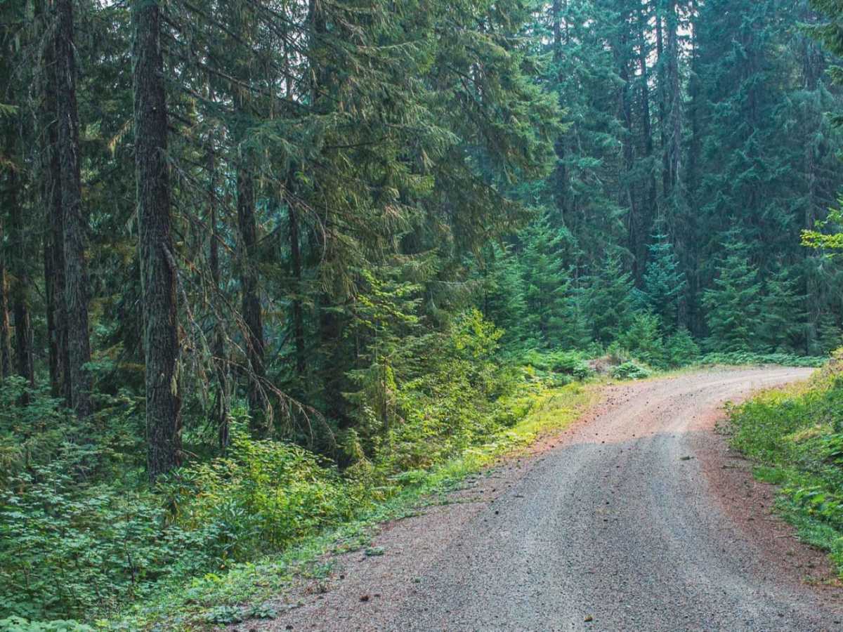
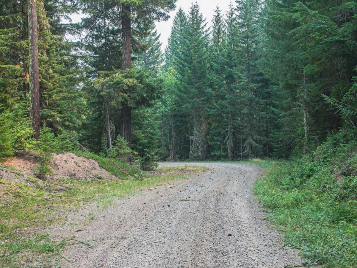
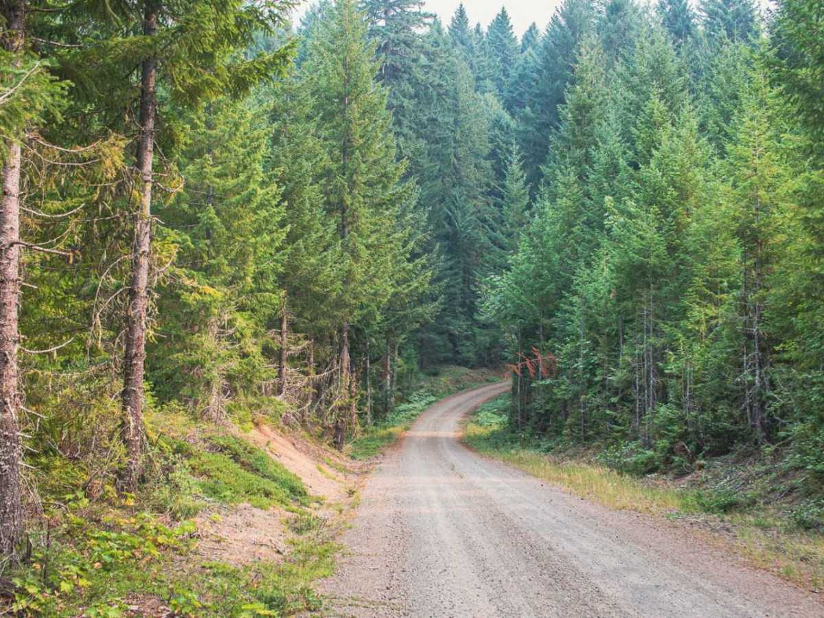
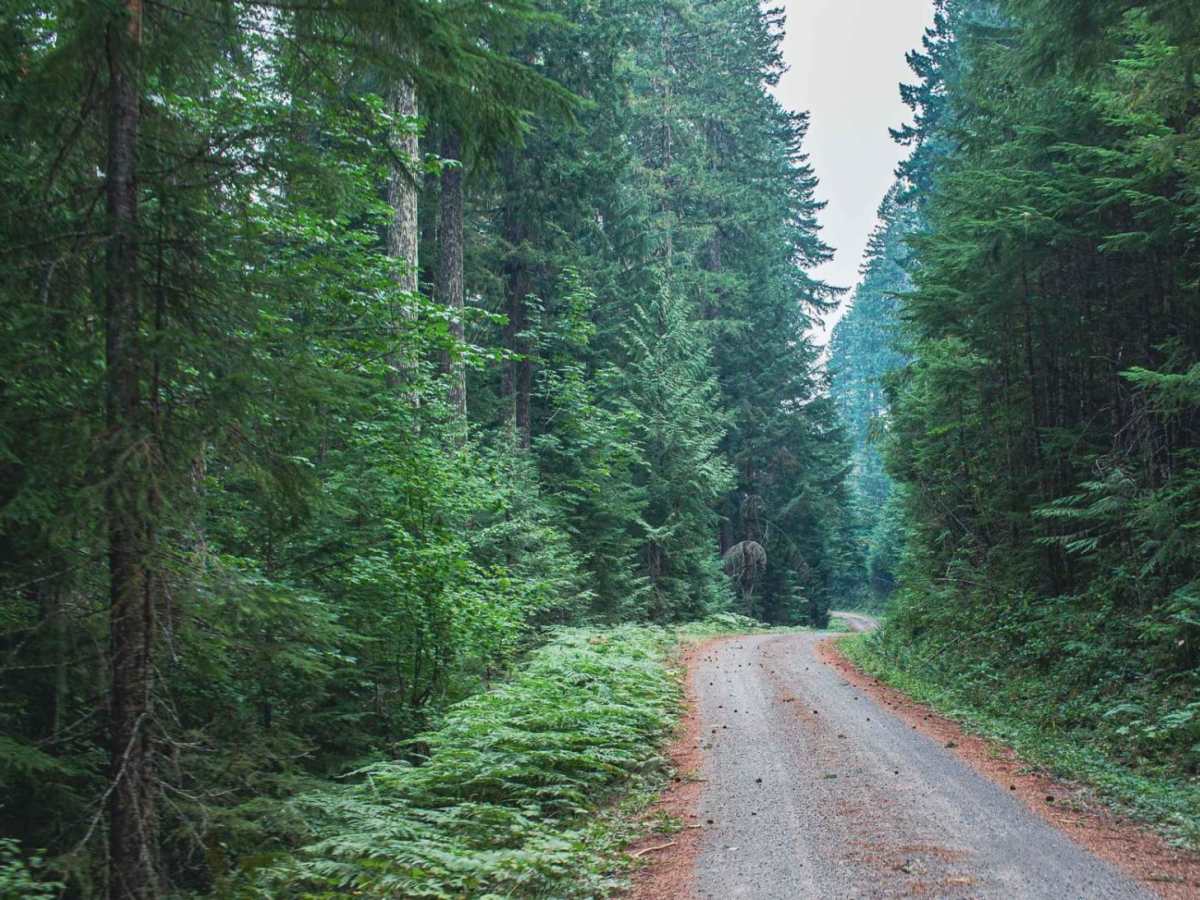
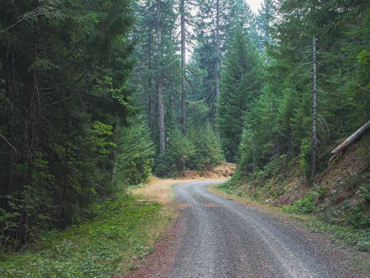
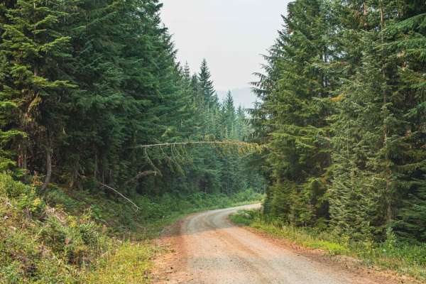
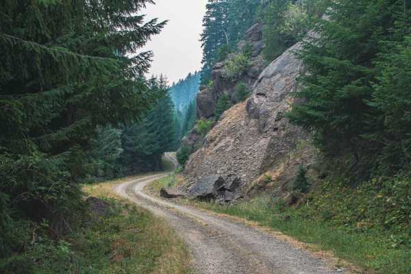
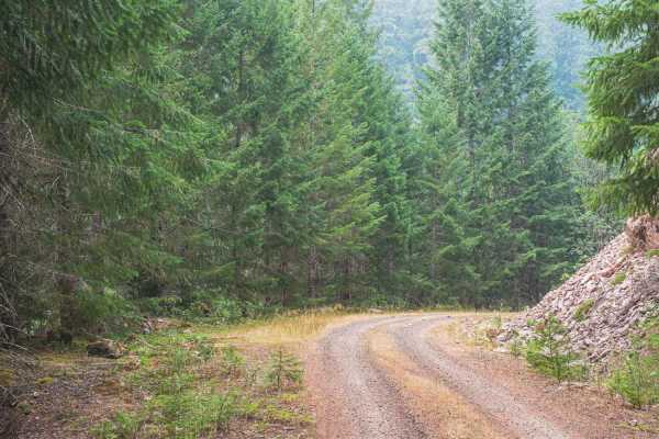
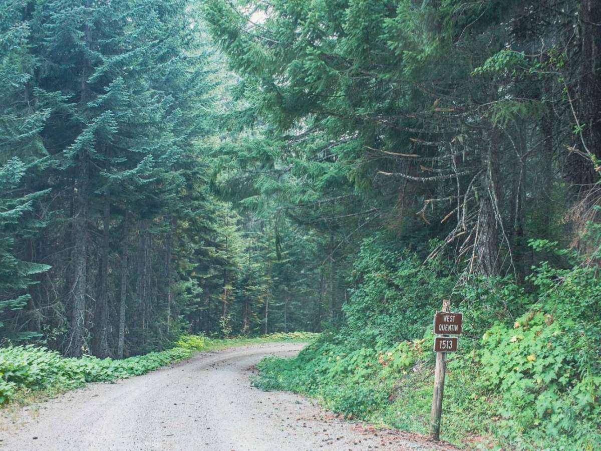
Quentin Creek (Forest Service Road 1513) is a scenic, 7.3-mile point-to-point gravel route through the Willamette National Forest. The road reaches a peak elevation of 3,960 feet and descends roughly 2,450 feet toward the creek drainage. While featuring occasional steep pitches up to 24 degrees, the primary gravel surface is highly manageable for most high-clearance, four-wheel-drive vehicles under normal conditions. With a technical rating of 1, the route is straightforward but can present seasonal challenges due to a lack of maintenance after heavy rain or snow. Drivers should prepare for potential obstacles like downed trees and minor washouts, particularly during the spring snowmelt. Stock SUVs can easily navigate the trail during dry summer and early autumn months.

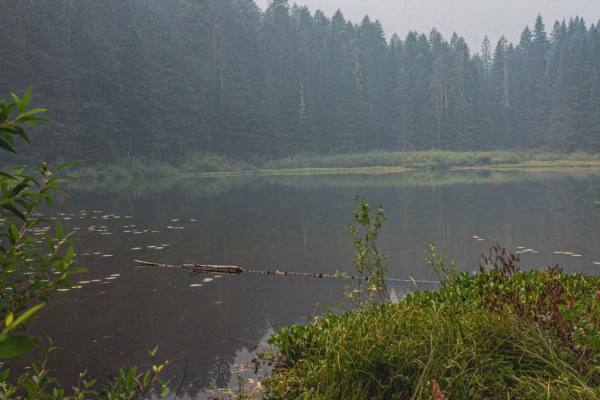
Photos of Quentin Creek

Difficulty

typically unmaintained after rain or snow

Technical Rating

1

Quentin Creek Trail can be accessed by the following ride types:

  • Single Track
  • 50 Inch
  • 60 Inch
  • High Clearance
  • Full Width

Quentin Creek Map

The onX Offroad Difference

onX Offroad combines trail photos, descriptions, difficulty ratings, width restrictions, seasonality, and more in a user-friendly interface. Available on all devices, with offline access and full compatibility with CarPlay and Android Auto. Discover what you're missing today!

Open Trail Map