Porter Ridge

Total Miles6.2
Technical Rating
1Easy
Best TimeSpring, Summer, Fall
Trail TypeFull-Width Road
Accessible By
Open Trail Map

Trail Overview

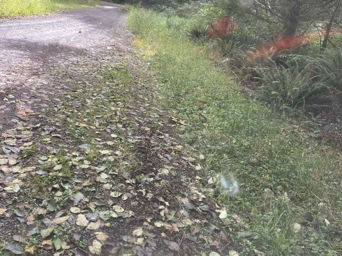
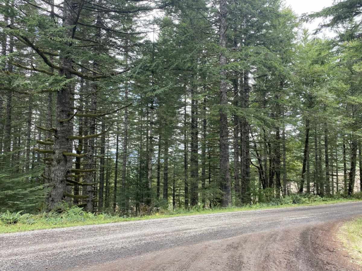
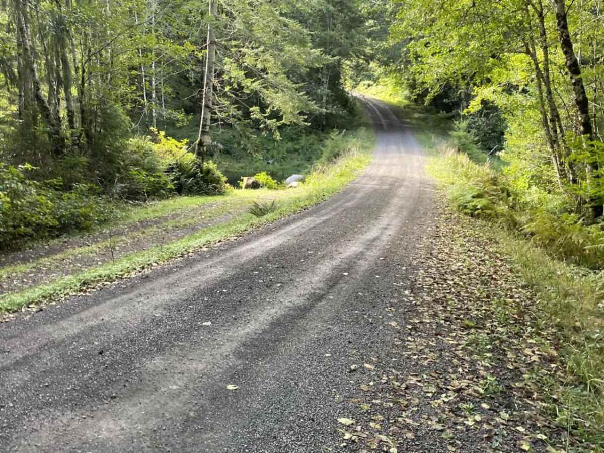
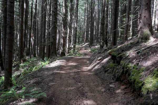
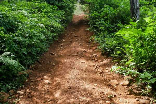
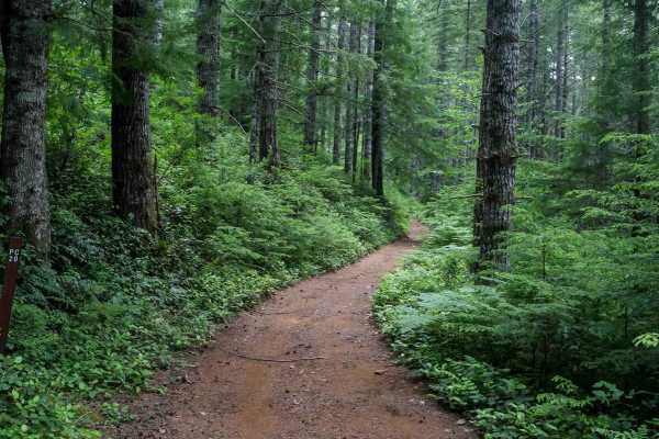
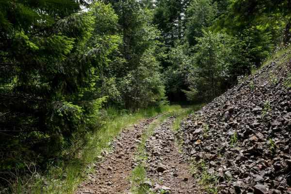
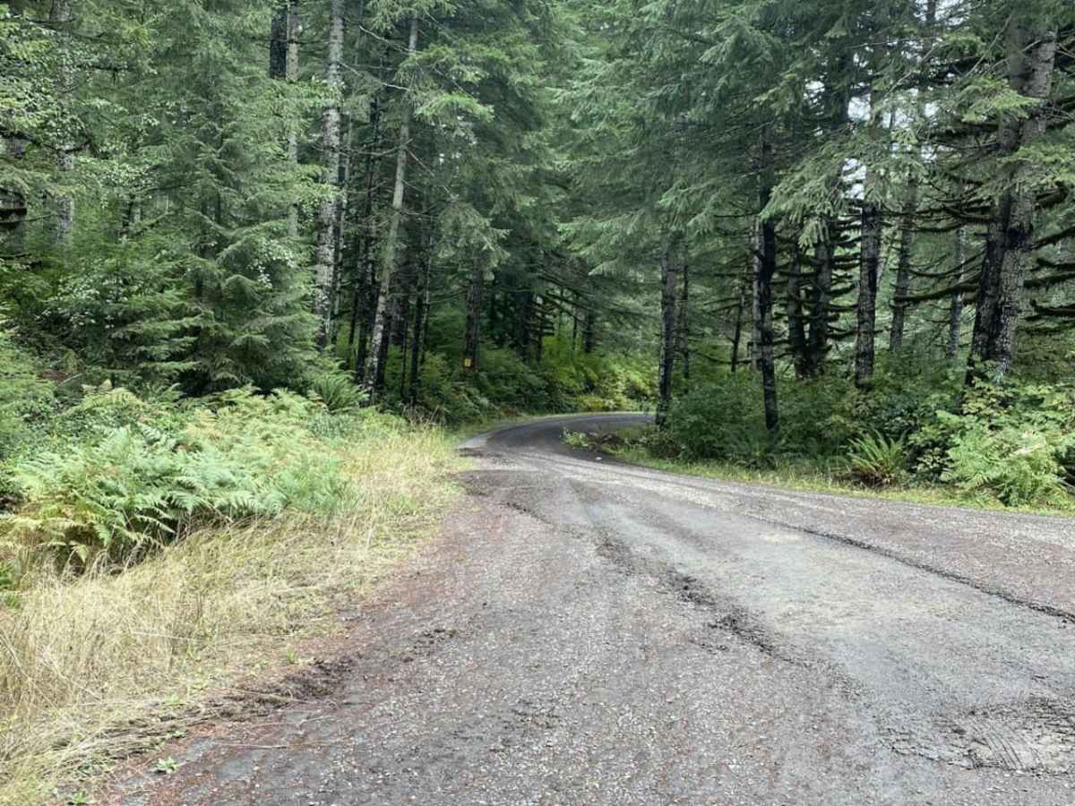
Porter Ridge is a 6.1-mile gravel route through Clatsop State Forest. Starting near Nicolai Mountain, the trail winds north and descends from 1,752 feet to 663 feet. The route follows narrow, well-maintained gravel logging roads through a dense canopy of hemlock, spruce, and Douglas-fir. Rated 1 for technical difficulty, this route has no major obstacles and is passable for standard AWD and high-clearance vehicles. A small campground is located near the southern trailhead, and the route connects to the broader Nicolai Mountain OHV trail system.

Photos of Porter Ridge

Difficulty

Most of it is gravel logging roads.

Technical Rating

1

Status Reports

Add Status Report
Collin
Sep 12, 2026
2025 Toyota 4Runner TRD Offroad
Open
NormalMuddy/Wet
Mostly "smooth" gravel road conditions with rare instances of minor potholes as far as I went (8 miles) despite rainy and wet conditions. Large amount of what look like side roads to camp sites. Overall a very beautiful trail that is actually part of a larger network of roads. It can be easy to get lost in if you don't plan a route.

Porter Ridge Trail can be accessed by the following ride types:

  • High Clearance
  • Full Width

Porter Ridge Map

The onX Offroad Difference

onX Offroad combines trail photos, descriptions, difficulty ratings, width restrictions, seasonality, and more in a user-friendly interface. Available on all devices, with offline access and full compatibility with CarPlay and Android Auto. Discover what you're missing today!

Open Trail Map