Trail Overview
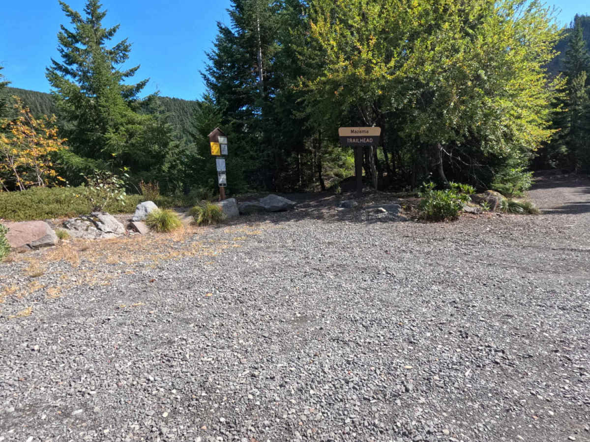
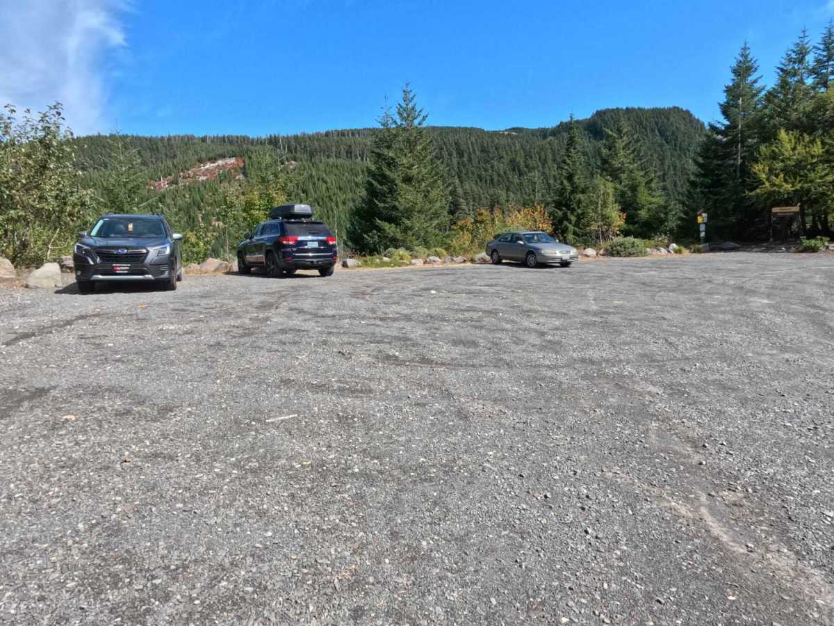
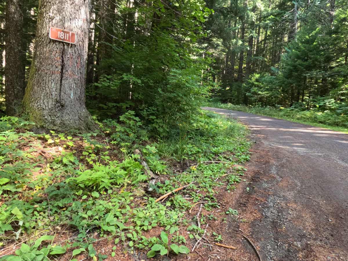
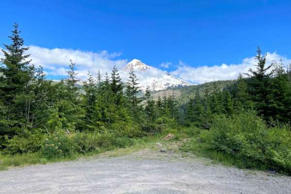
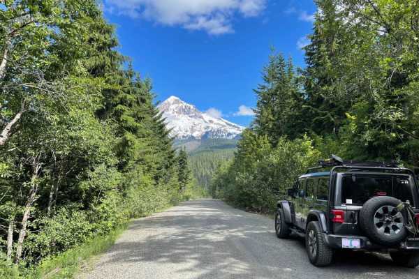
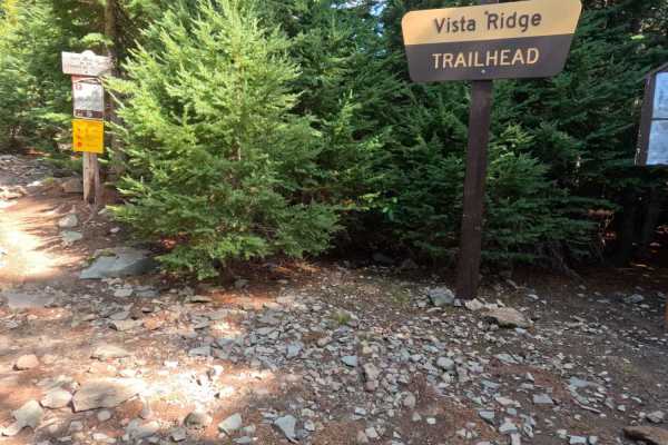
Operating as a highly scenic, out-and-back dirt spur, the Ladd Creek and Cathedral Ridge route - FS 1811-10 pushes deep into the picturesque Mount Hood National Forest. The trail carves a winding path through a lush, mature evergreen forest, occasionally breaking through the dense timber canopy to reveal stunning, unobstructed views of the snow-capped volcanic peak in the distance. Holding an approachable difficulty rating of 2, this single-lane gravel forest service road provides a reliable but bumpy journey. Outdoor enthusiasts heavily utilize this corridor to access the popular Mazama Trailhead, which features a spacious gravel parking lot for hikers staging their alpine treks. Because this is a well-known recreational destination, drivers must remain constantly vigilant for oncoming traffic and be prepared to safely yield along the narrow, blind corners hugging the hillside.
Difficulty
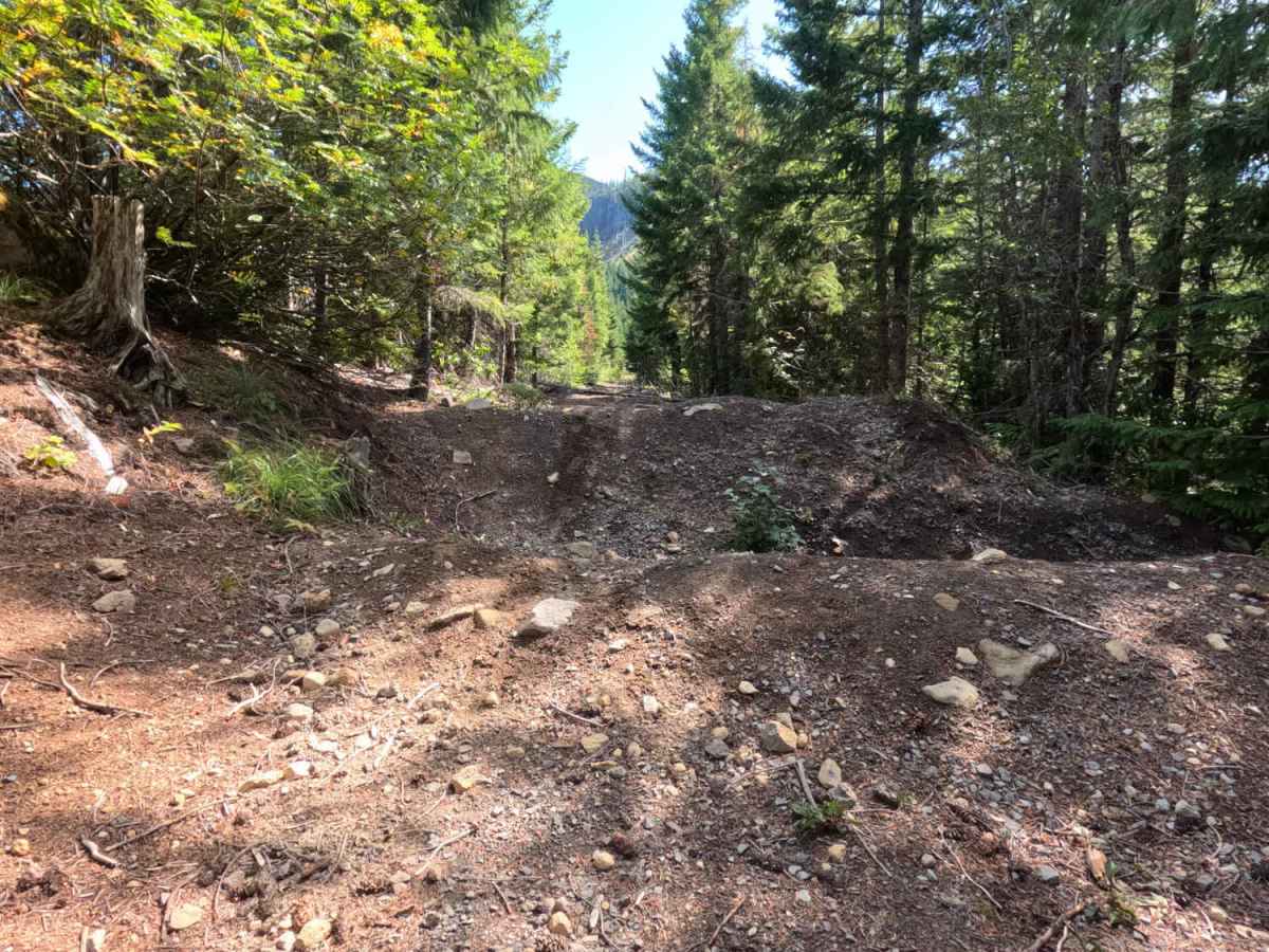
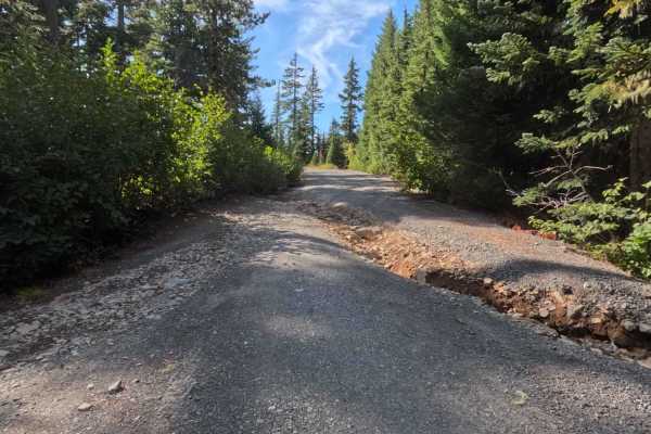
Earning a level 2 rating, this forest service road offers a generally flat and accessible drive that stops short of being perfectly smooth. The packed dirt and gravel surface is plagued by continuous, chattering washboards and a series of minor erosion ruts that will undoubtedly cause a rattling ride. However, the roadbed lacks deep, clearance-threatening washouts or severe rock obstacles. The primary challenge is situational awareness; the lane is exceptionally narrow in several sections with steep uphill banks, requiring drivers to maintain a slow, cautious pace to safely navigate blind corners when encountering returning trailhead traffic.

 Offroad