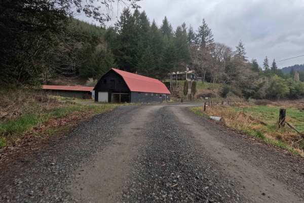
Trail Overview
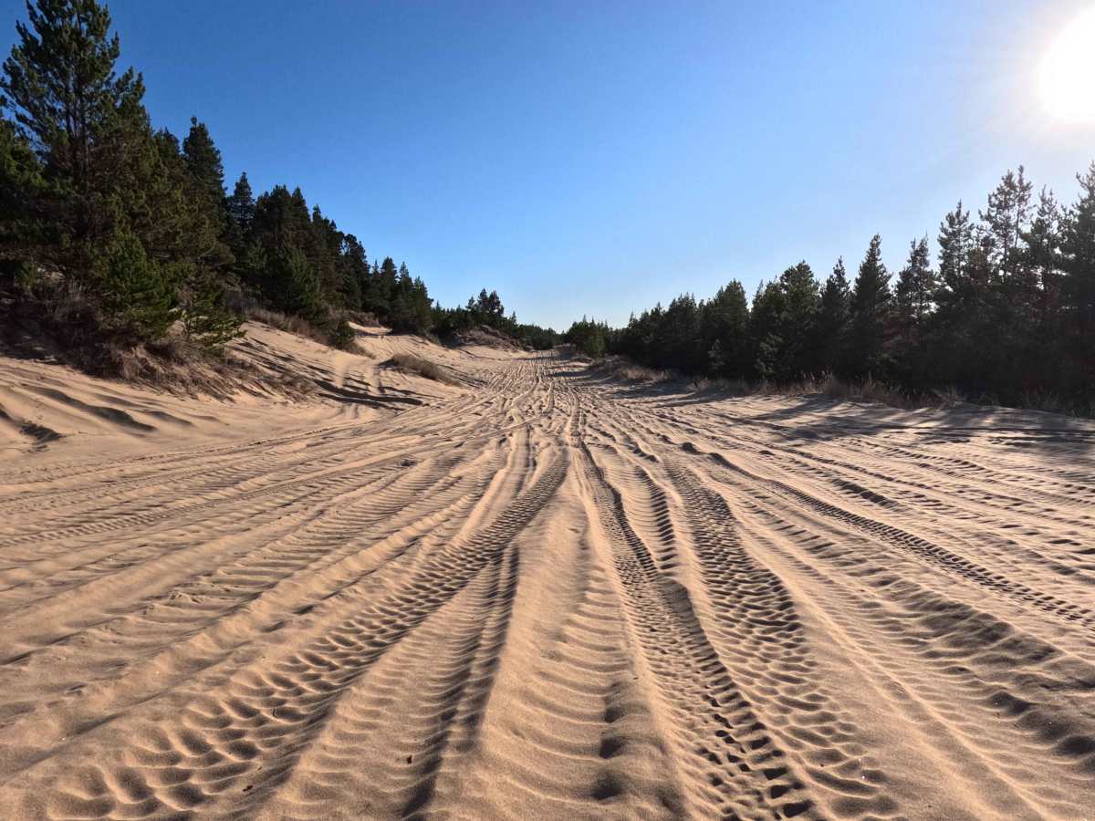
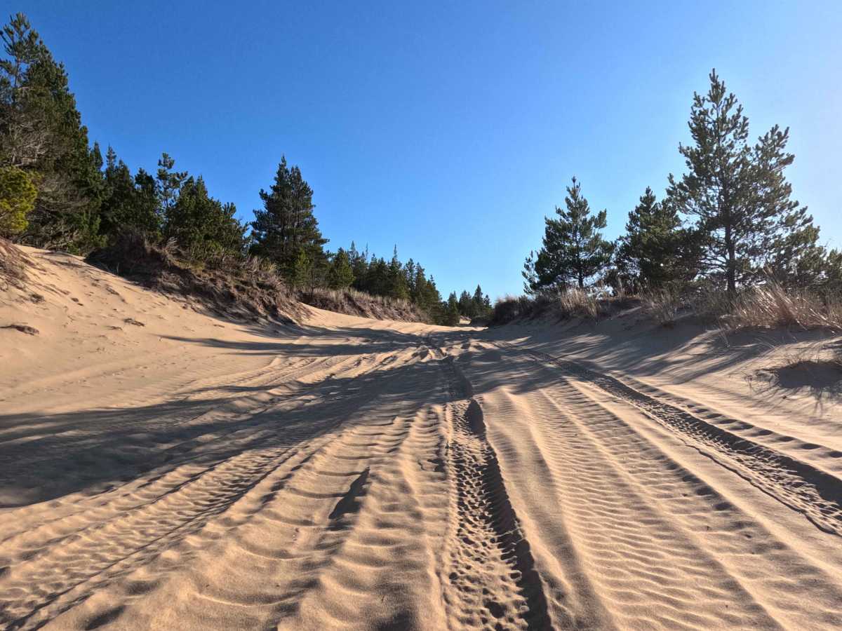
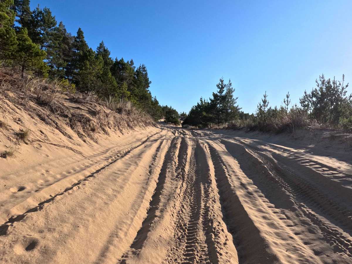
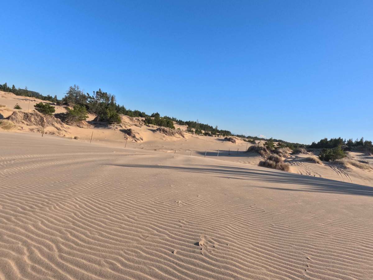
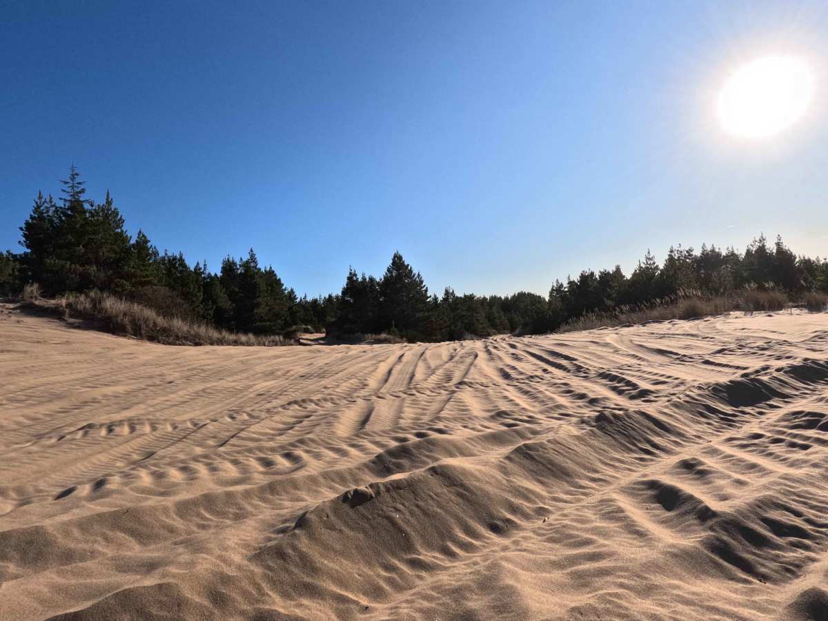
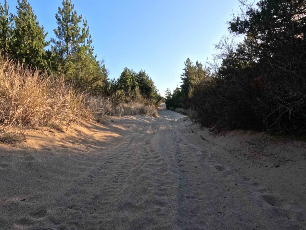
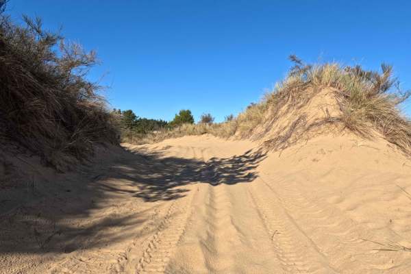
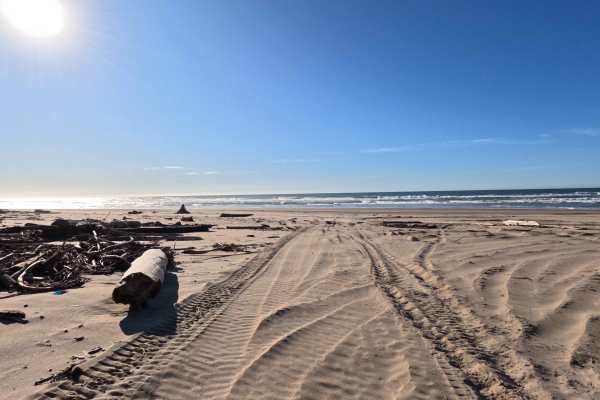
This demanding and strenuous 4.3-mile unmaintained sand dune track runs north-south, serving as a primary coastal artery between the northern Hauser OHV Trail and the southern hubs of the Horsefall Sand Camping Area. Loosely guided by a breadcrumb trail of orange diamond markers affixed to white masonite stakes, this challenging route winds through a sprawling, ever-shifting landscape of open, wind-sculpted sand dunes. The "main" trail is merely a suggestion, as it is flanked by a complex spiderweb network of deep, yielding sandy side trails and steep bowls that invite rigorous off-road exploration. Along this taxing coastal corridor, overlanders will discover numerous marked campsites, offering prime opportunities for secluded dispersed camping directly on the sand. As a dedicated high-energy recreation zone, this unforgiving environment is shared with motos, quads, and side-by-sides, making for a highly engaging and technical driving experience.
Difficulty
The Level 3 designation of this trail is defined entirely by the unforgiving, power-robbing nature of the deep, soft sand that makes up the entire route. To successfully navigate these shifting, treacherous dunes without becoming hopelessly bogged down, it is absolutely mandatory to air down your vehicle's tires to a low 10 to 15 PSI. This critical step drastically increases the tire's contact patch, allowing your 4x4 to "float" across the yielding surface rather than digging into it. Drivers must maintain steady momentum through the steepest, softest sections and constantly read the dynamic terrain to avoid getting stuck. Furthermore, carrying specialized sand recovery gear and an onboard air compressor to reinflate your tires are essential requirements for surviving this demanding environment.