Trail Overview
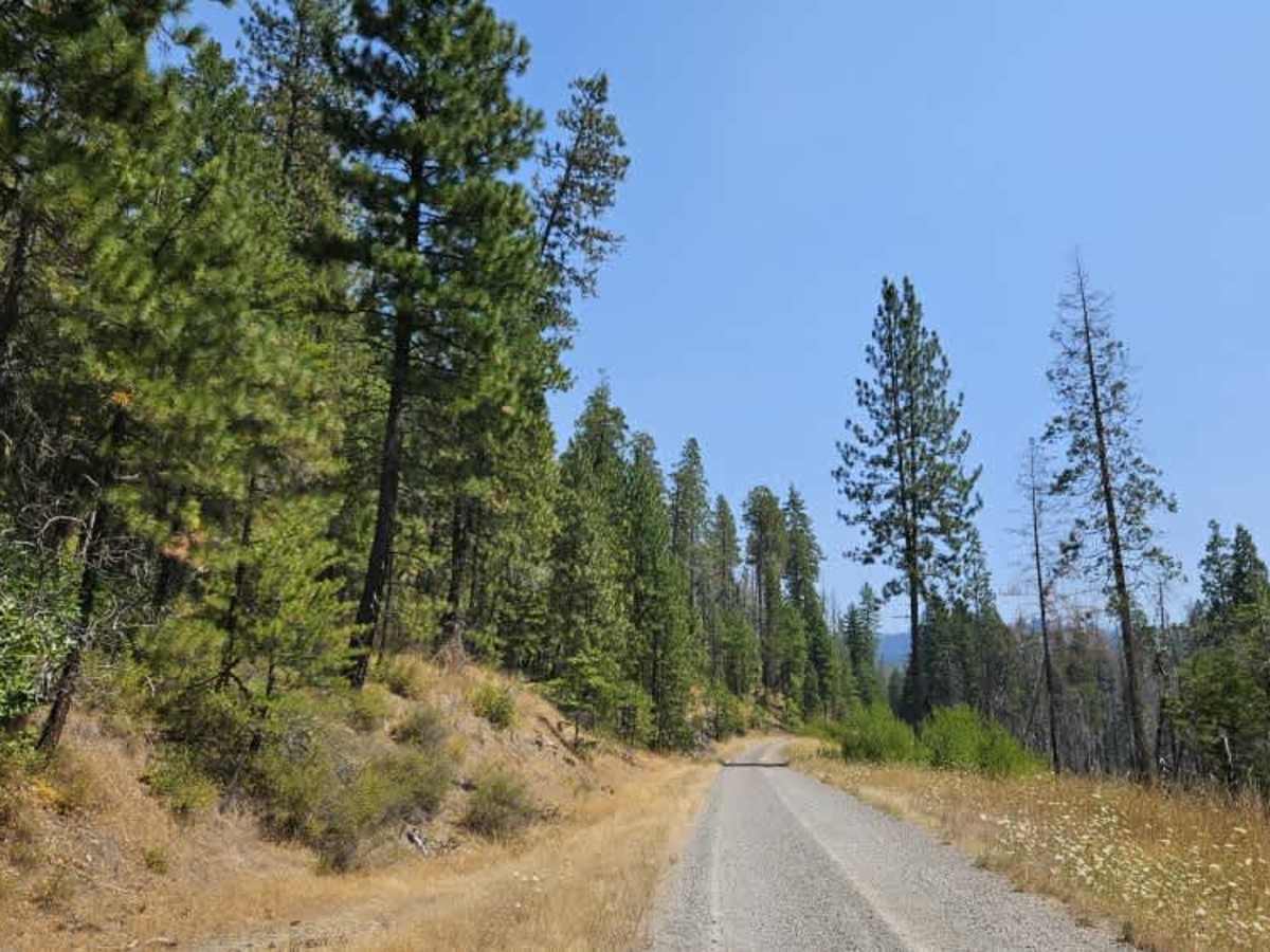
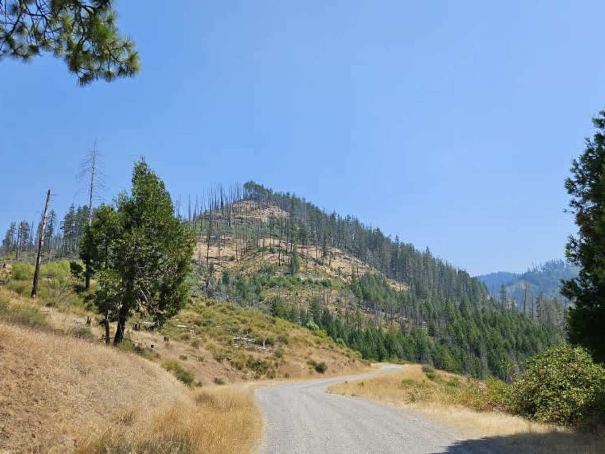
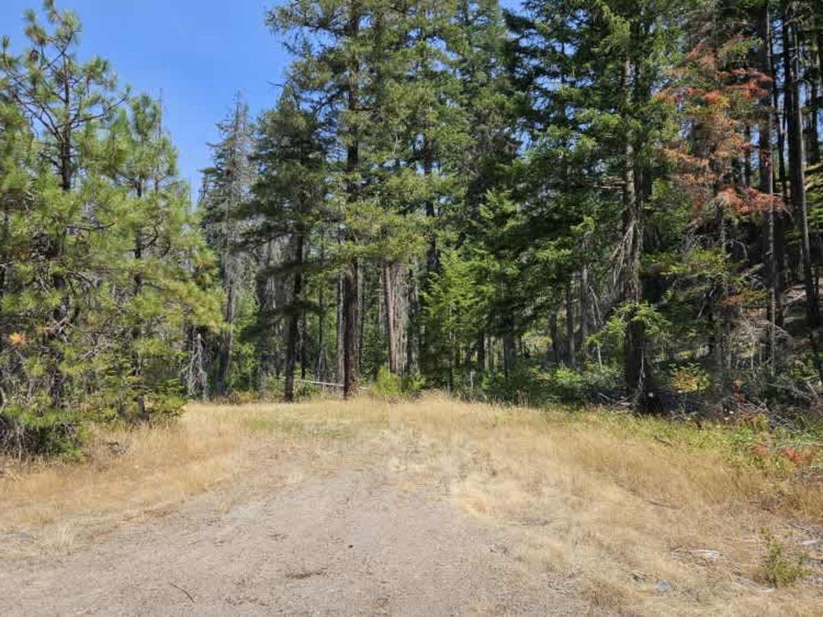
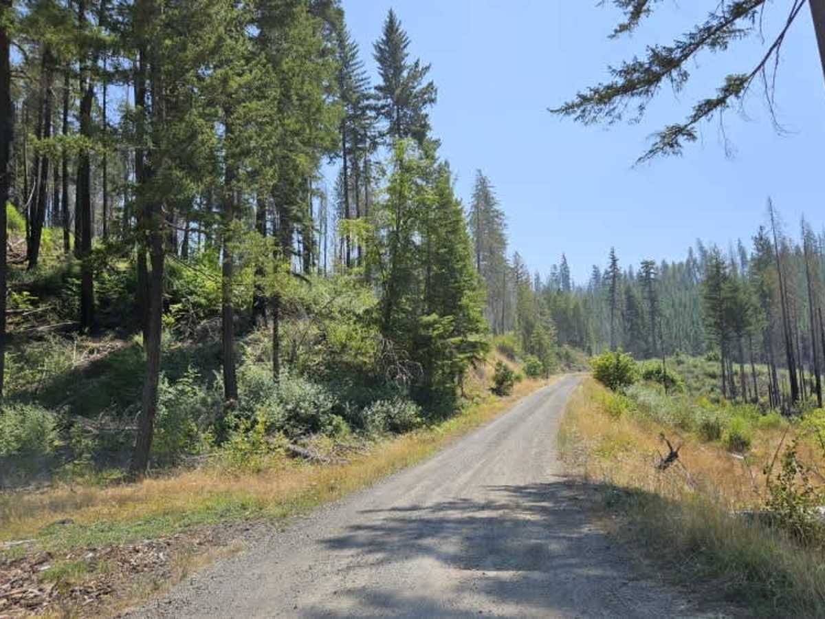
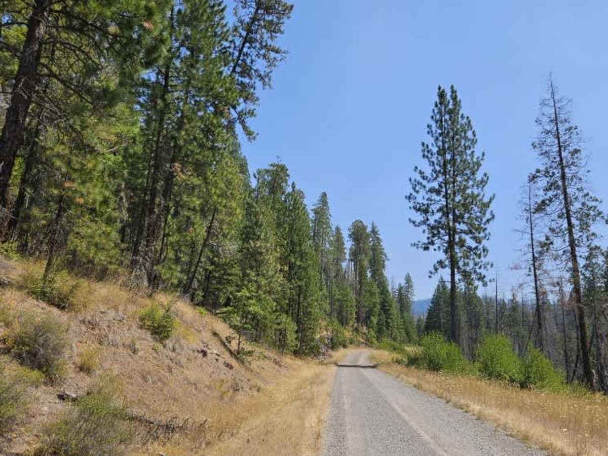
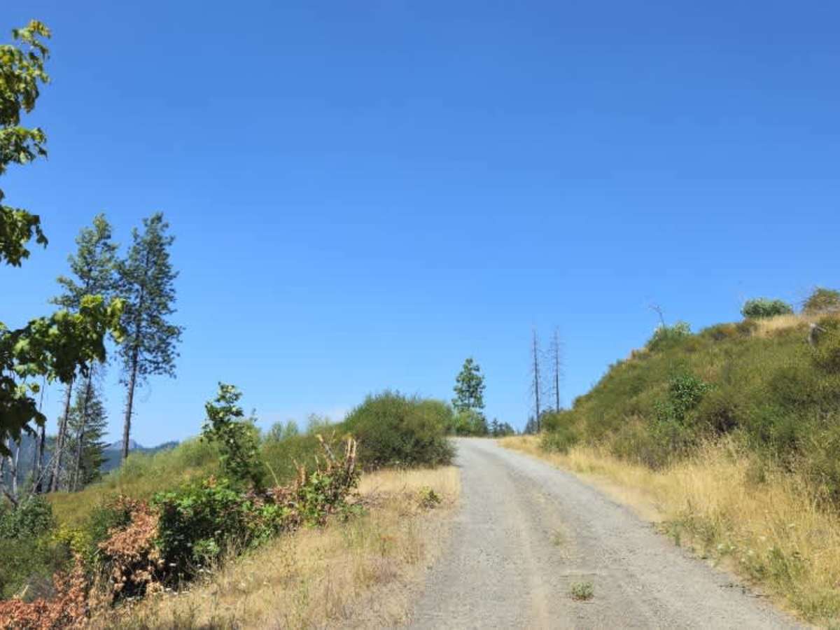
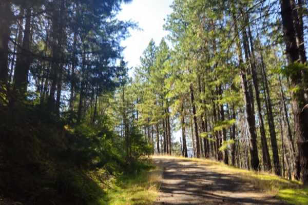
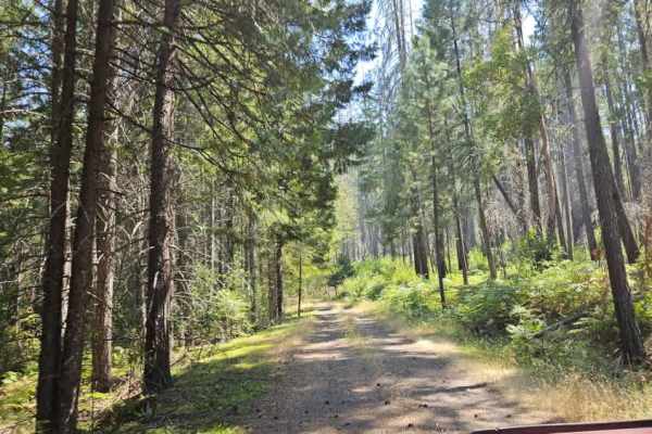
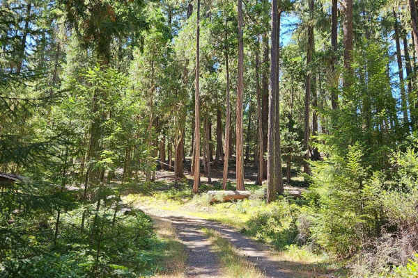
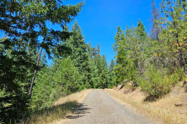
This trail begins from the main paved road and follows a well-maintained forest road that steadily climbs into the mountains. When approached from the northwest, the trail climbs from the Jackson Creek area with a series of sweeping curves and gradual ascents. The road is generally in good condition, but there are sections of heavy corrugation, particularly near steep drop-offs, where excessive speed could cause a loss of traction. Drivers should use caution both ascending and descending, especially in these exposed areas. Deer are common along the route, so remain alert, particularly during the early morning and evening. Higher up, the trail passes through a landscape recovering from wildfire, with views of regenerating forest and seasonal wildflowers. There are a few potholes and designated pull-offs that also serve as passing areas for oncoming traffic. One section contains a marked washout, identified with sticks and ribbons to improve visibility, where extra care is required due to the steep slope. Please observe all posted fire restrictions to help protect the surrounding forest.