FS 2921000

Total Miles6.9
Technical Rating
2Easy
Best TimeSpring, Summer, Fall
Trail TypeFull-Width Road
Accessible By
Open Trail Map

Trail Overview

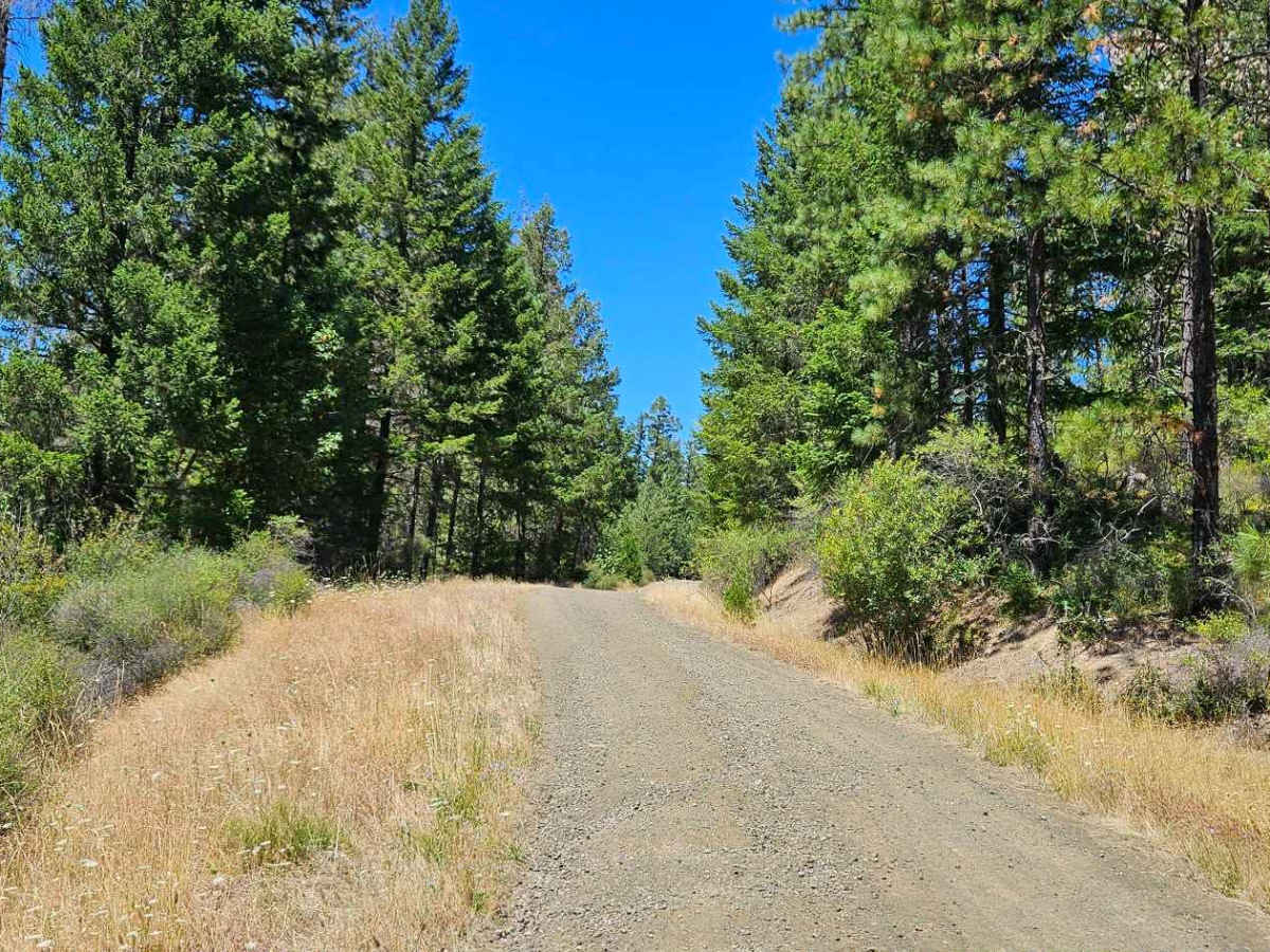
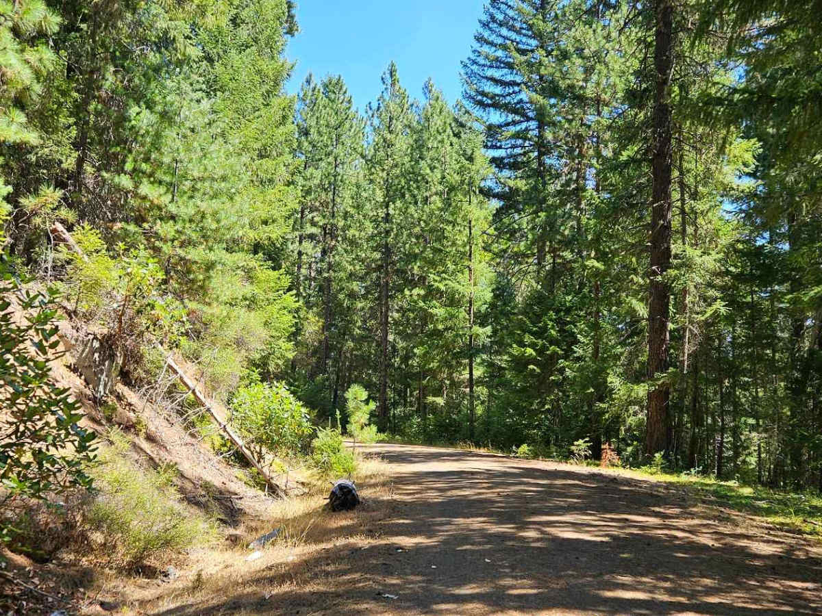
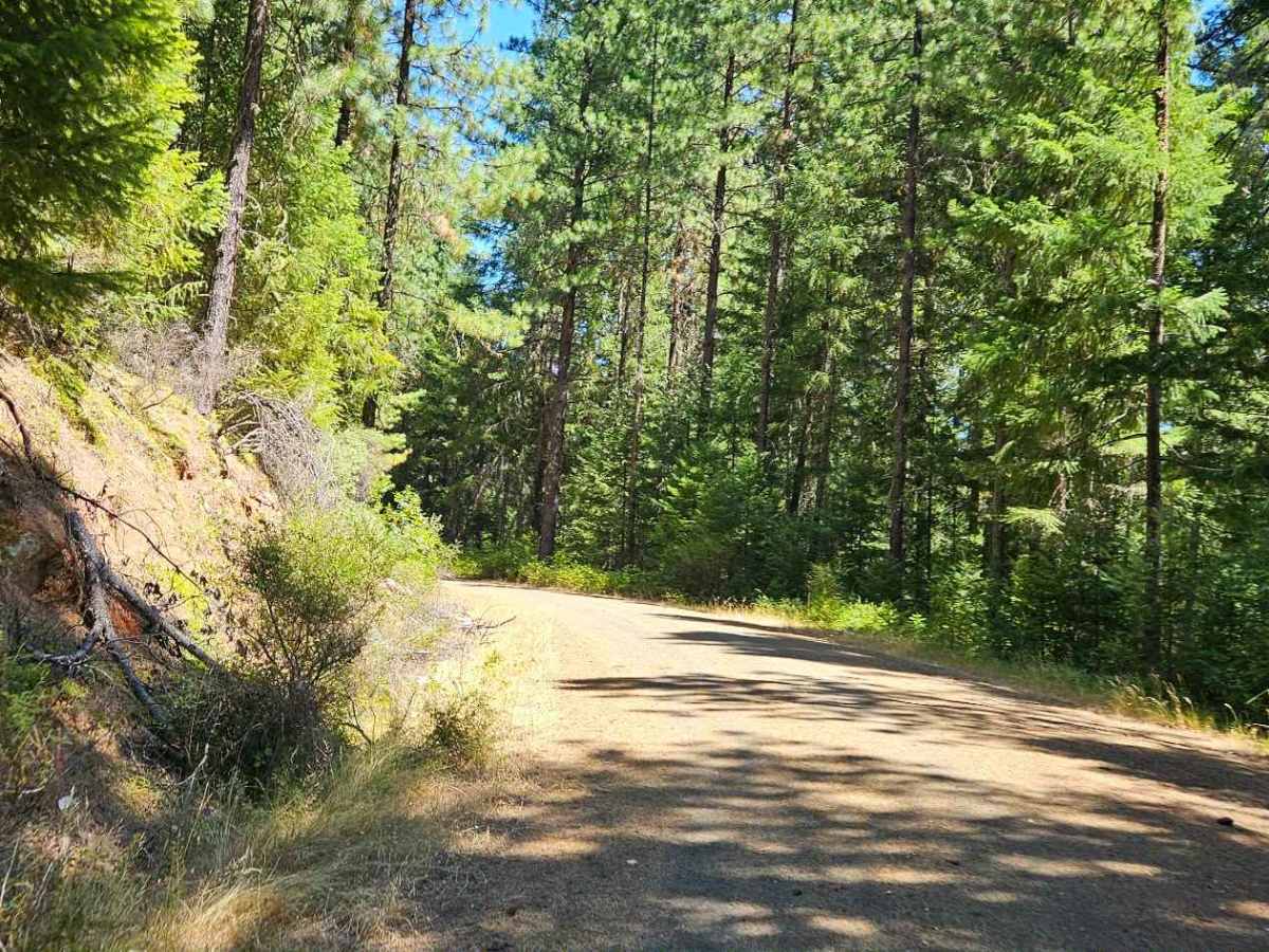
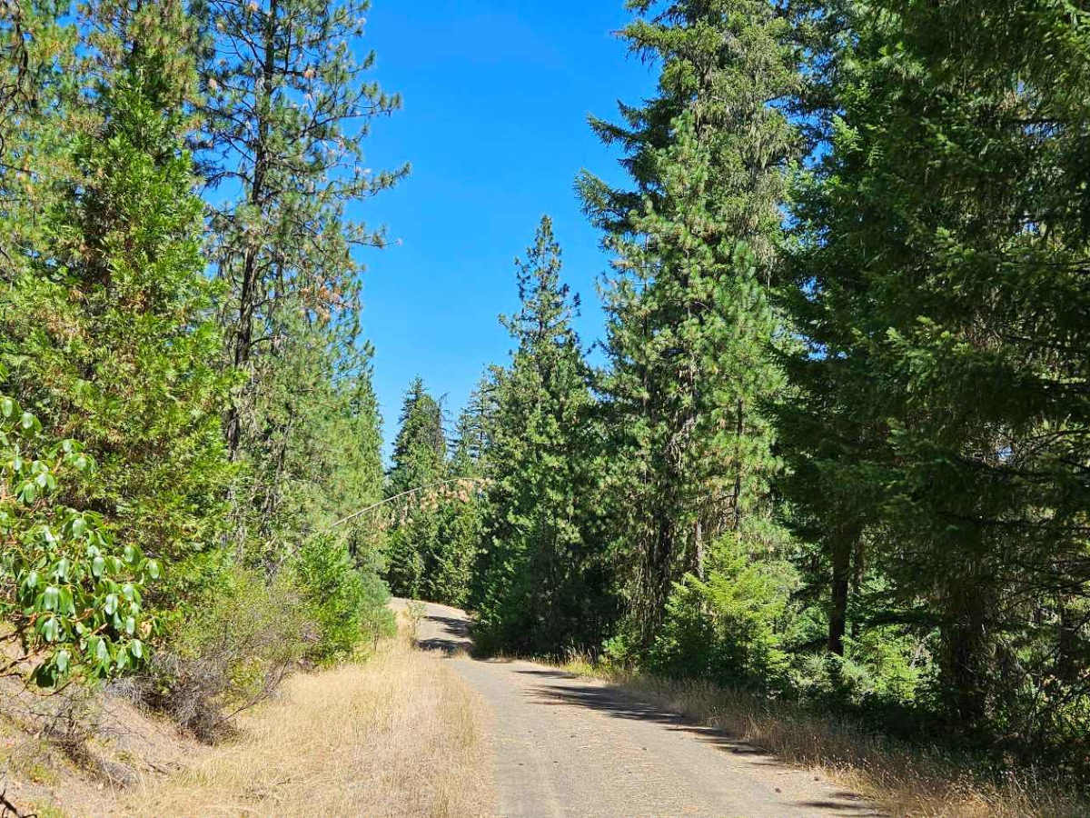
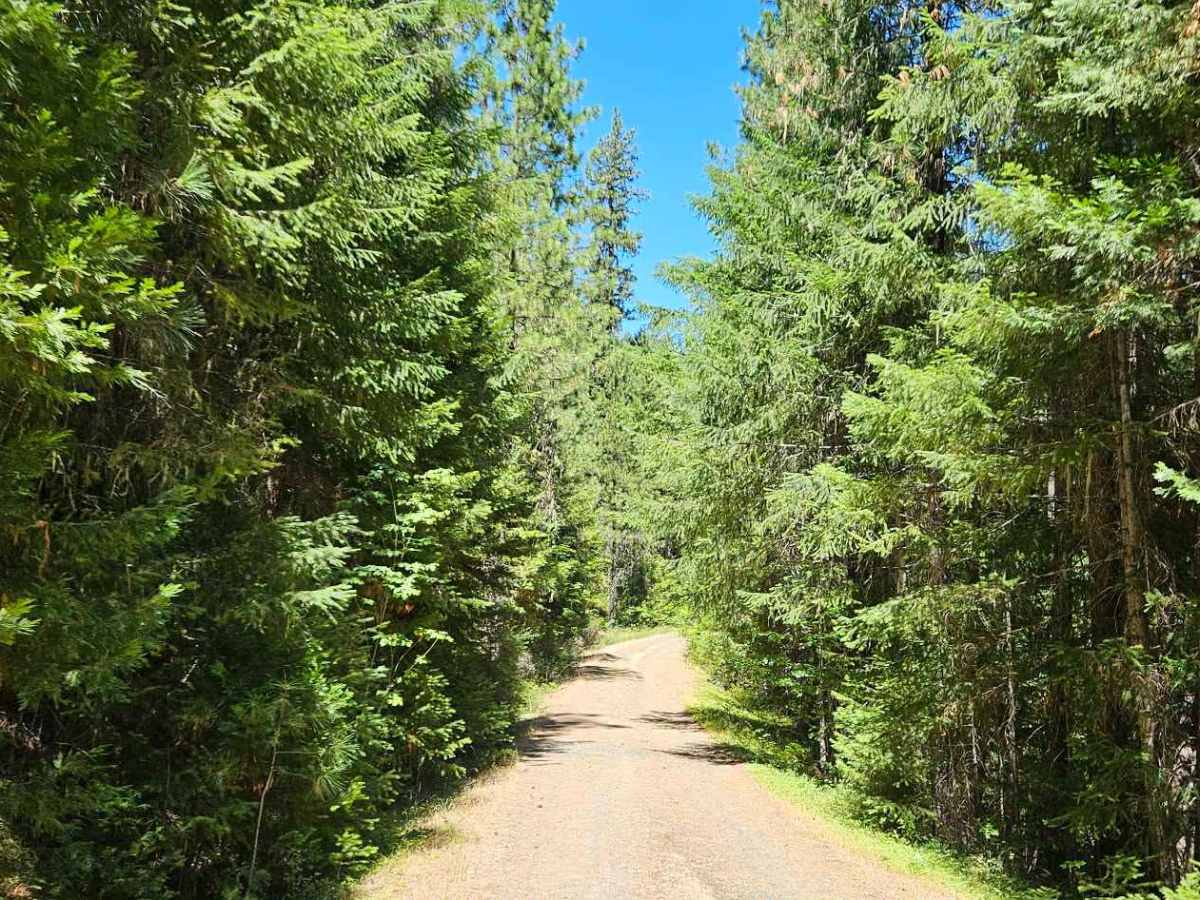
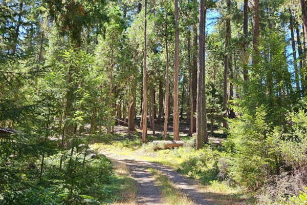
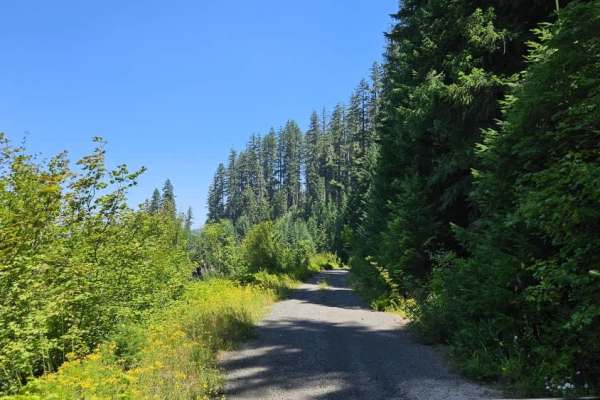
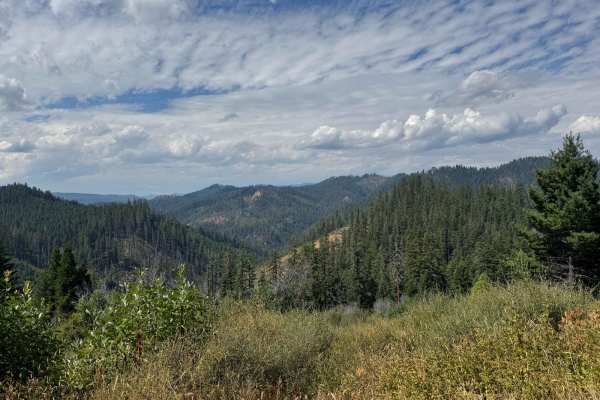
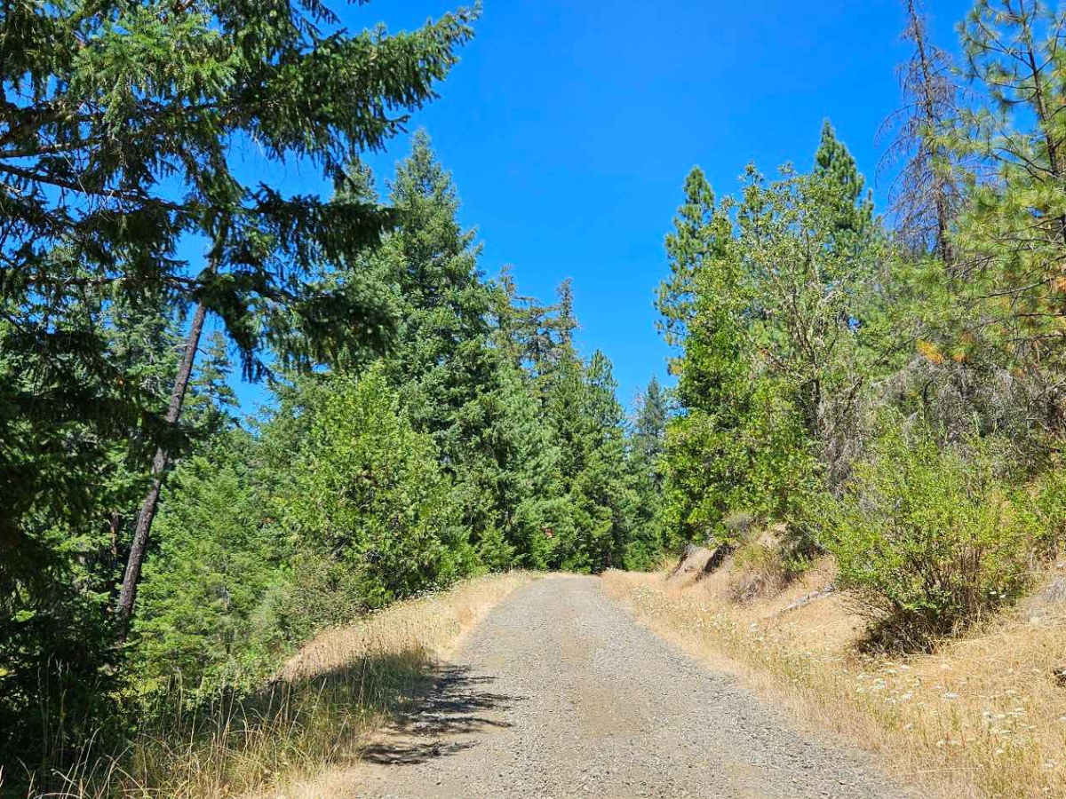
This well-maintained gravel road climbs steadily through the forest before opening up onto a broad plateau covered in tall grass and open space. The route then narrows back to a single-lane trail as it continues along the mountain ridge and returns to denser forest. The scenery changes throughout the drive, moving between open landscapes and shaded woodland areas. The road surface is generally in good condition, but there are several large potholes along the route, many of which are hidden in shaded areas beneath the trees. Drivers should slow down and use caution, especially around corners where visibility is limited. After the FS 2921200, the road becomes noticeably narrower and continues climbing higher into the mountains. As the elevation increases, some sections become slightly off-camber, with the right side of the trail dipping away toward the slope. These areas are not extreme but do require careful driving and attention to vehicle placement.

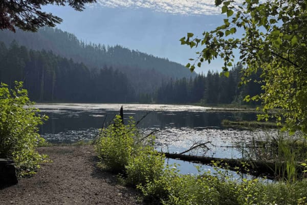
Photos of FS 2921000

Difficulty

A few side trails branch from the main route, offering additional opportunities to explore the surrounding area.

Technical Rating

2

FS 2921000 Trail can be accessed by the following ride types:

  • Single Track
  • 50 Inch
  • 60 Inch
  • High Clearance
  • Full Width

FS 2921000 Map

The onX Offroad Difference

onX Offroad combines trail photos, descriptions, difficulty ratings, width restrictions, seasonality, and more in a user-friendly interface. Available on all devices, with offline access and full compatibility with CarPlay and Android Auto. Discover what you're missing today!

Open Trail Map