Trail Overview
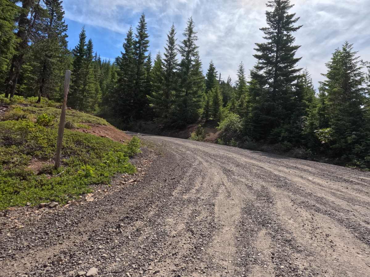
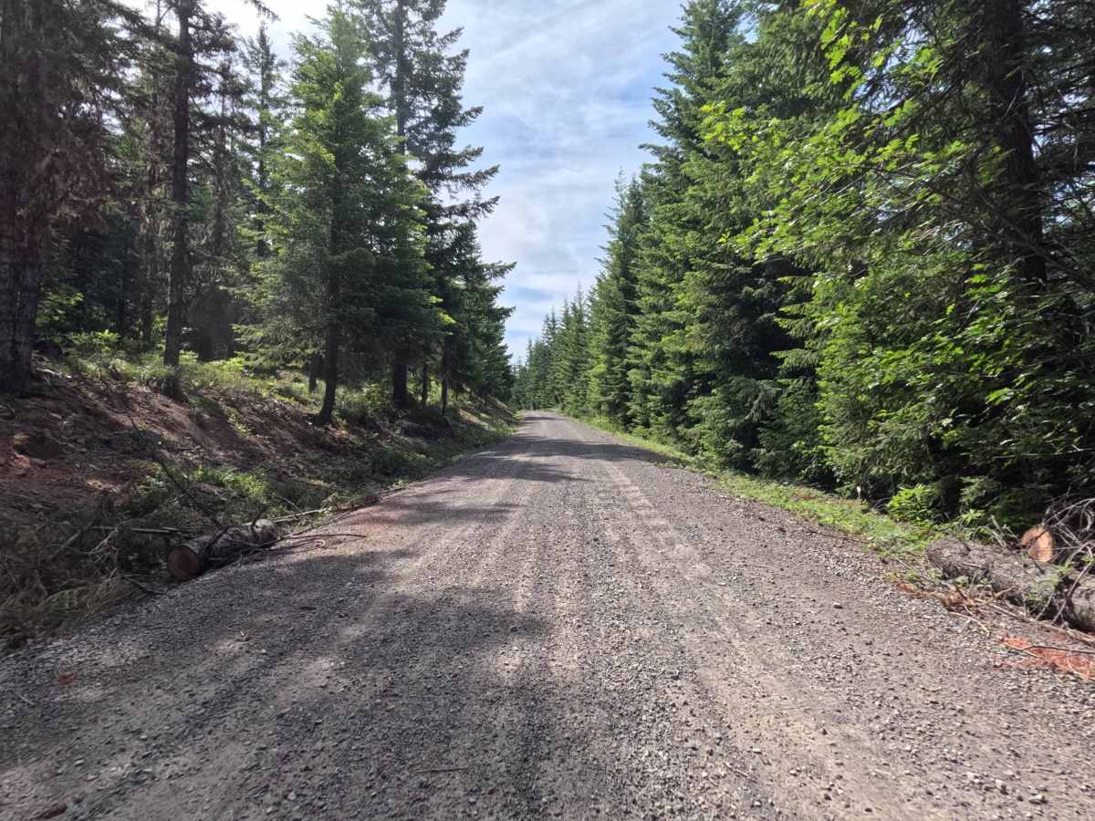
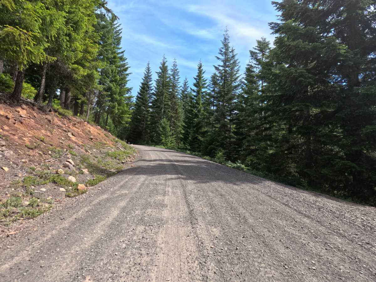
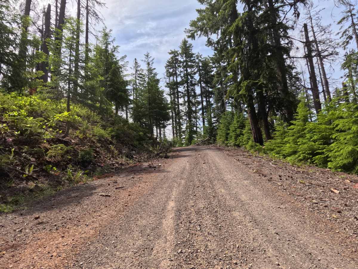
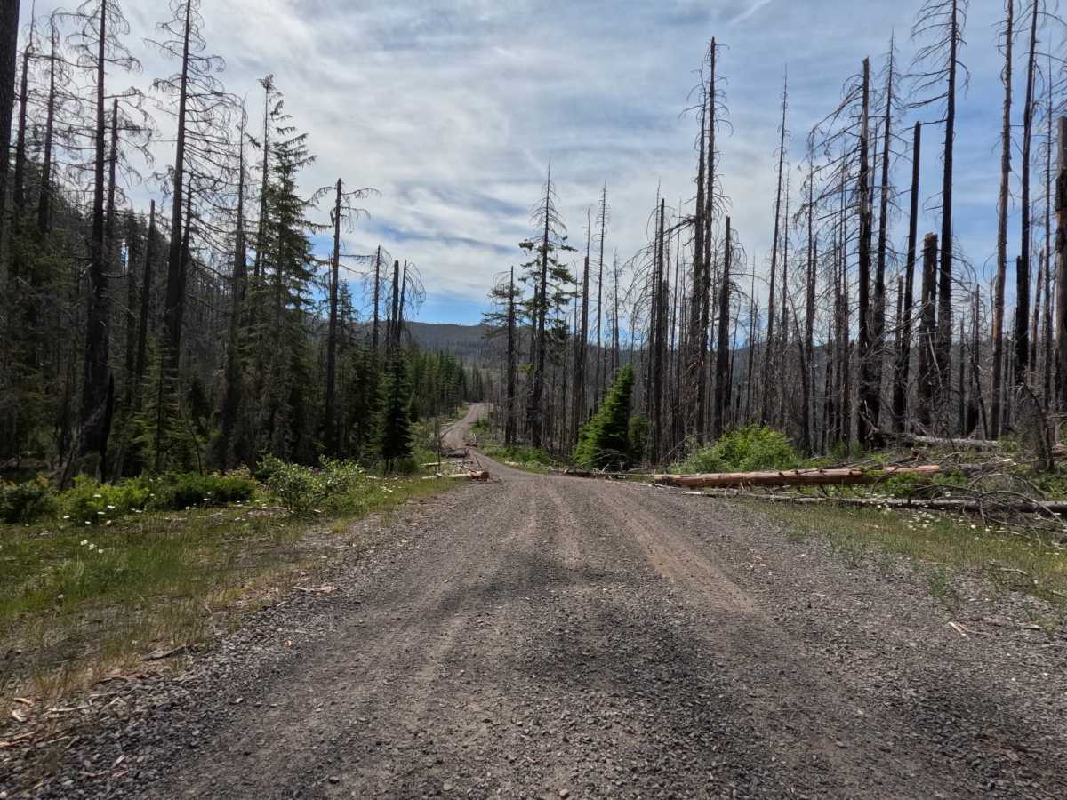
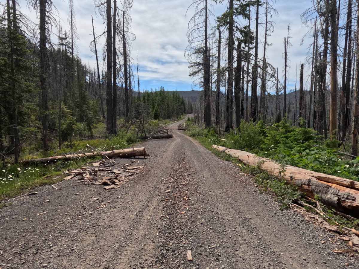
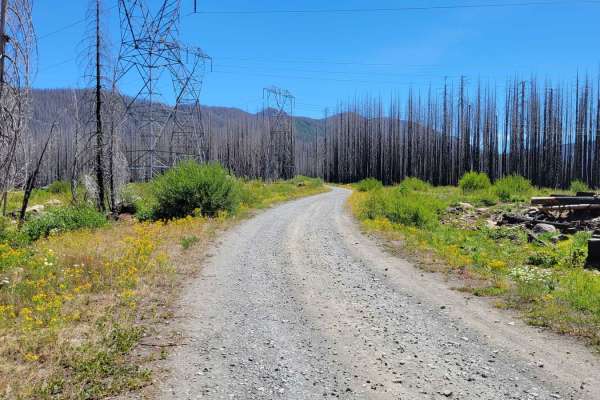
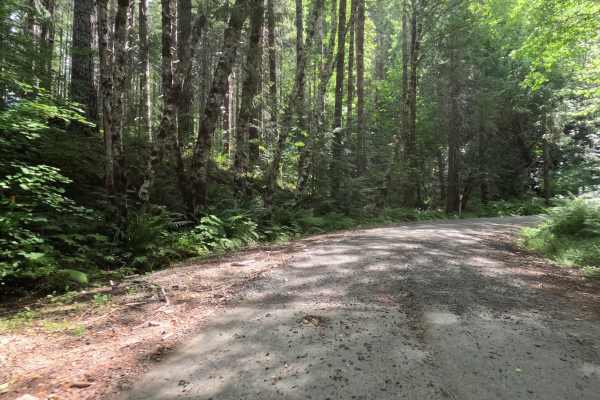
FS 6370-220 is a well-maintained, 2.9-mile graded gravel forest service road that climbs steadily toward Cachebox Meadow. The smooth, wide track makes for an easy, relaxing drive as it winds through a dense canopy of evergreens. Sunlight filters through the timber onto an accessible dirt and gravel surface with no aggressive ruts, deep mud, or jarring rock obstacles. It is a calm, comfortable backcountry drive that handles a wide variety of vehicles easily on its way up to the meadow.
Difficulty
FS 6370-220 confidently earns a Level 1 Easy technical rating because of its exceptionally well-maintained, graded gravel surface. Described explicitly as an "easy rolling" route, the trail presents absolutely no significant technical challenges, deep ruts, steep, intimidating inclines, or clearance-testing rock obstacles. Although the data sheet formally notes High Clearance 4x4, the actual visual condition of this specific road indicates that virtually any standard passenger car, 2WD crossover, or SUV could safely and comfortably complete the drive under standard dry conditions.