Trail Overview
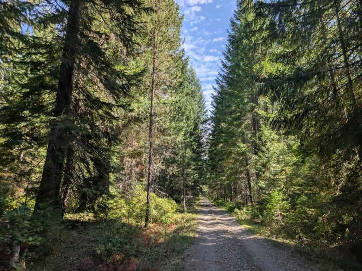
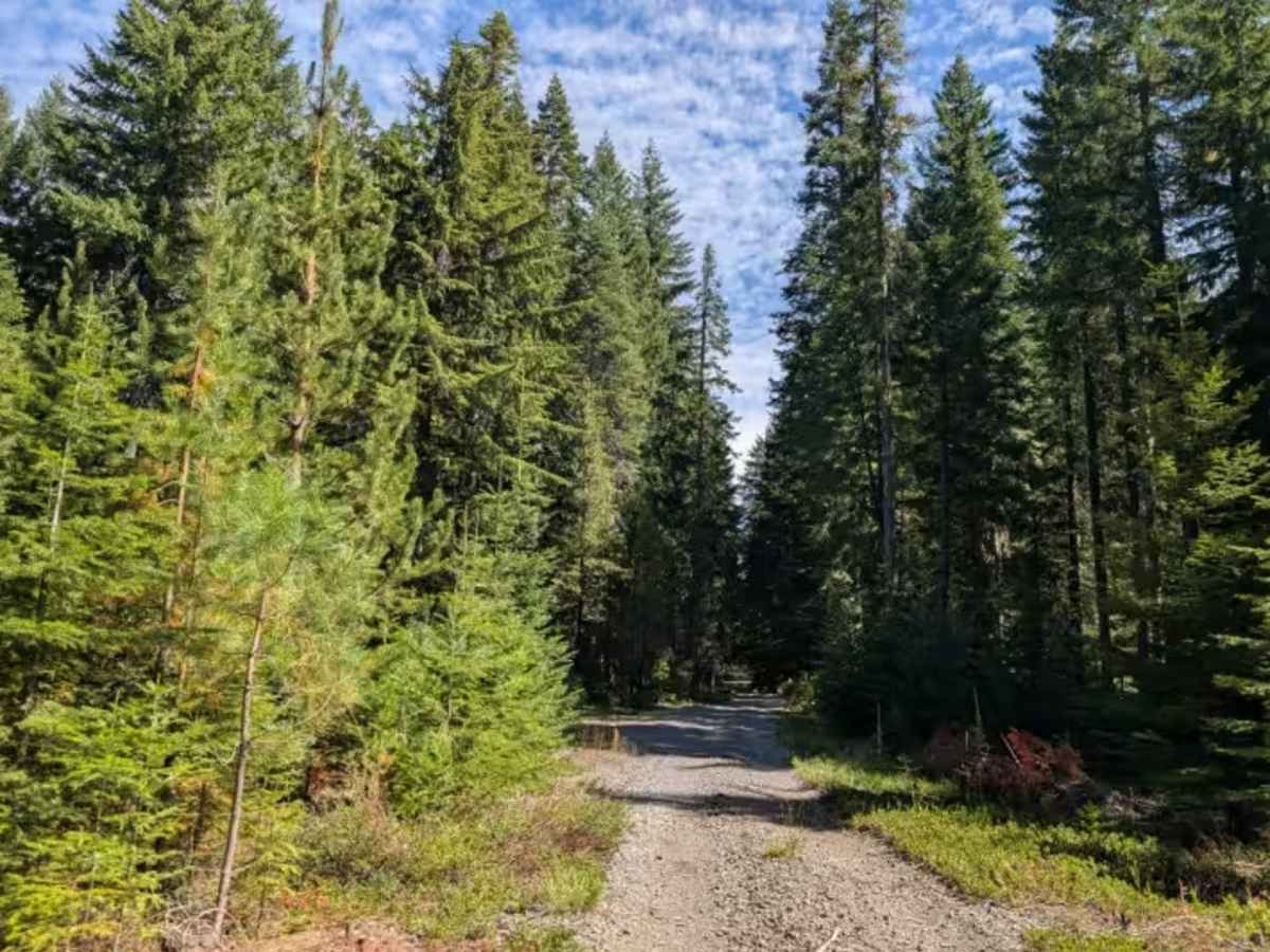
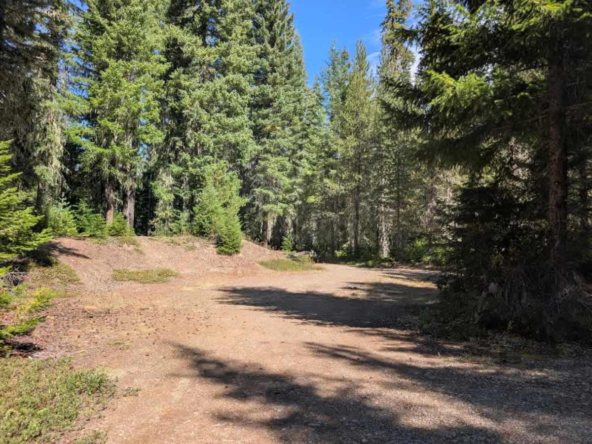
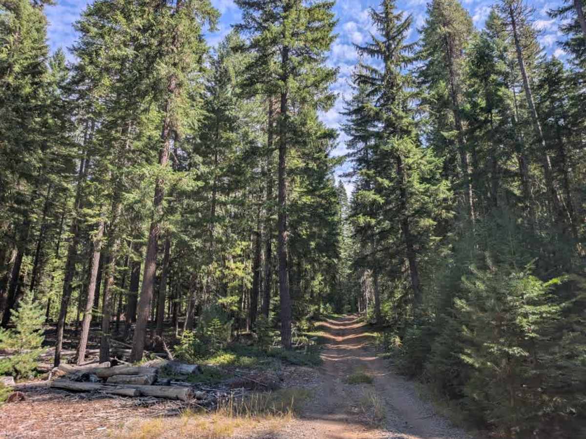
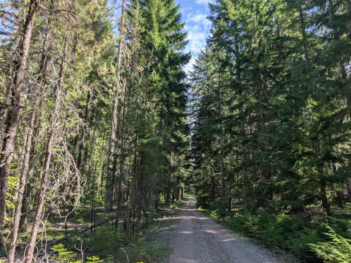
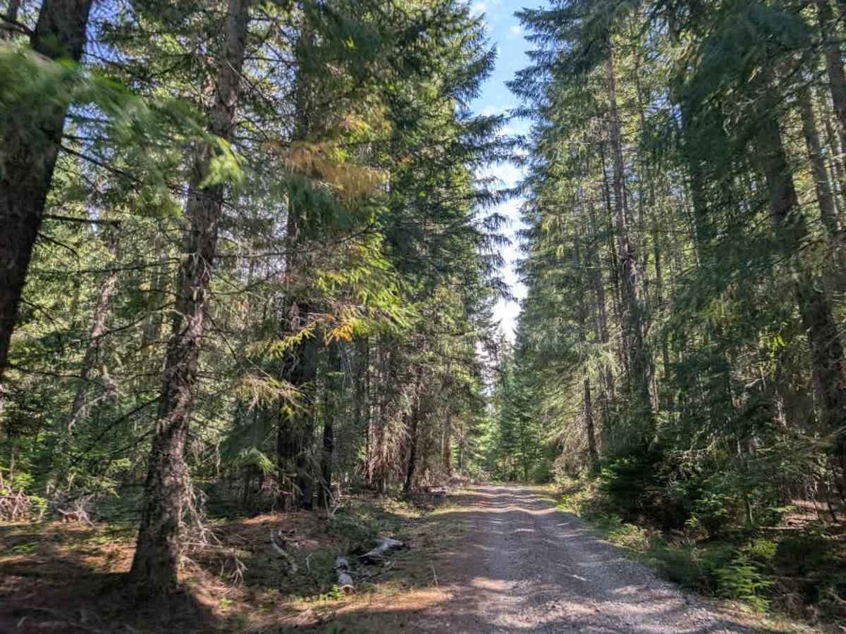
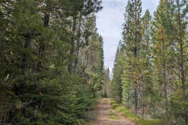
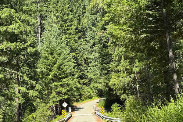
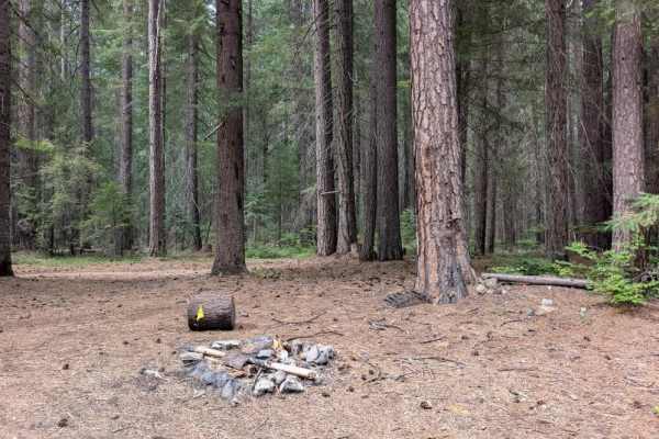
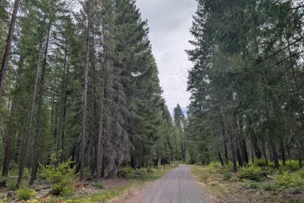
Approaching from the north, this well-maintained trail winds through a beautiful forest and has plenty of humps, bumps, and ditches. As the route nears Highway 62, the terrain becomes noticeably more off-road, with rougher sections that require high clearance. While the northern portion is easier to travel, a high-clearance vehicle is recommended for the full route, particularly near the highway. This road is open to all vehicles but is subject to Seasonal Designations, which differ by vehicle type. Highway-legal vehicles are permitted from May 1 through October 11, while non-highway-legal vehicles are permitted from July 1 through October 11. Check current regulations and seasonal restrictions before traveling. ATVs, UTVs, Side-by-Sides, and Dirt Bikes must always have a valid Oregon ATV Operating Permit sticker.