Trail Overview
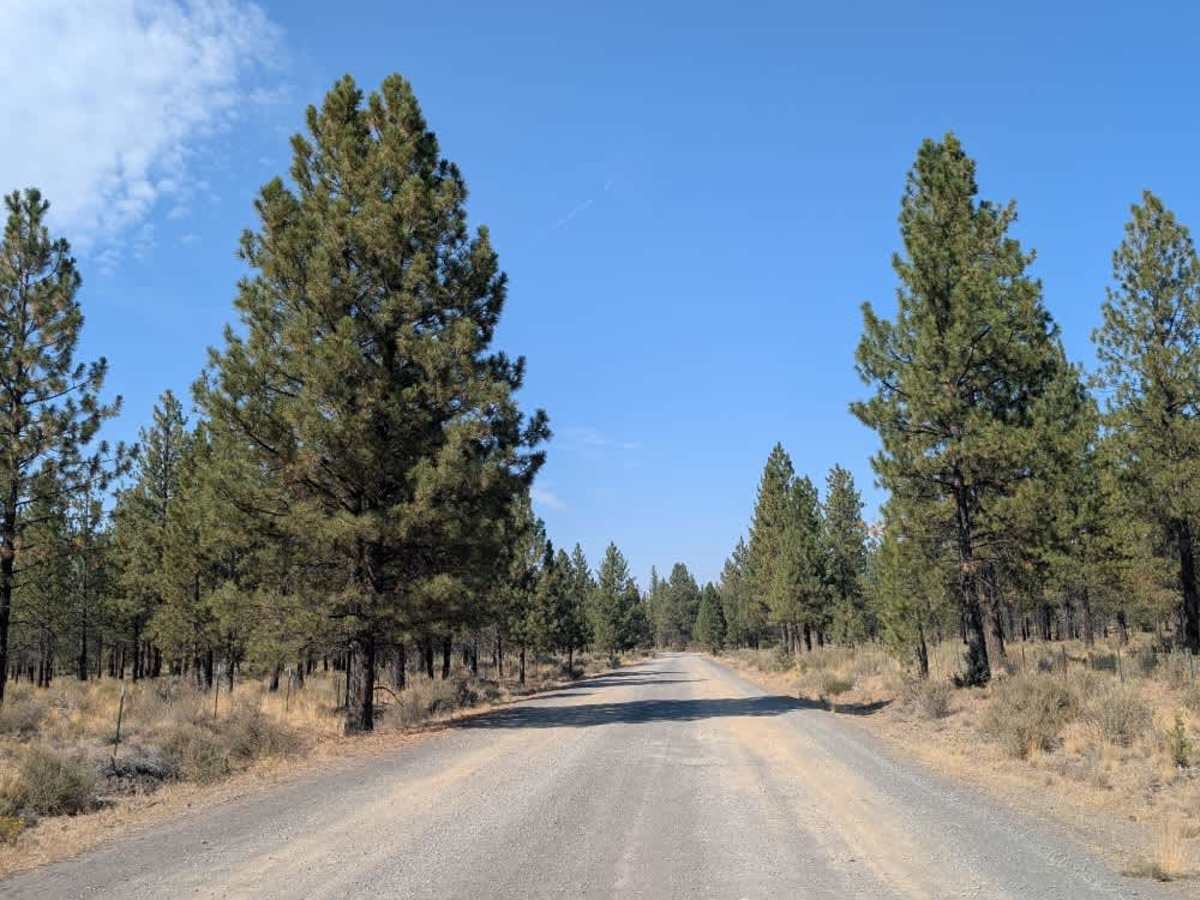
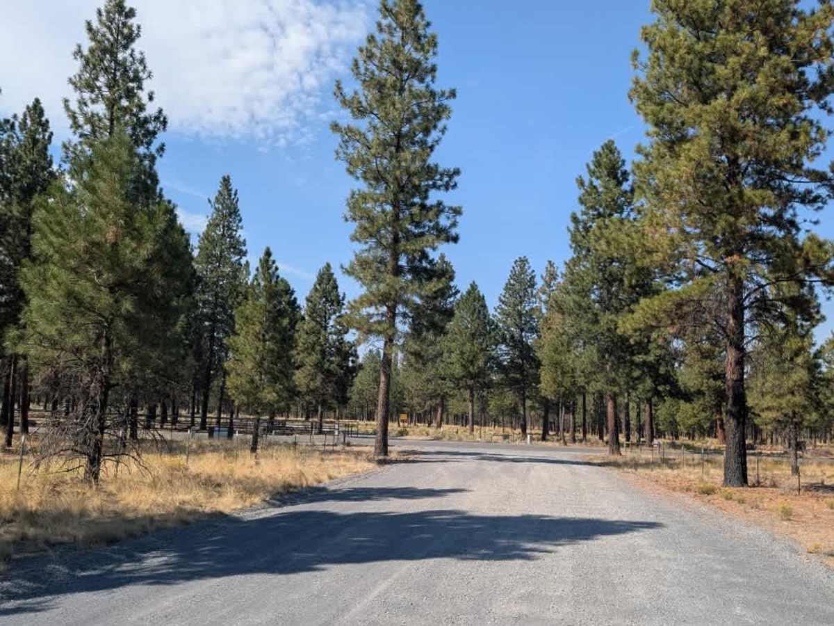
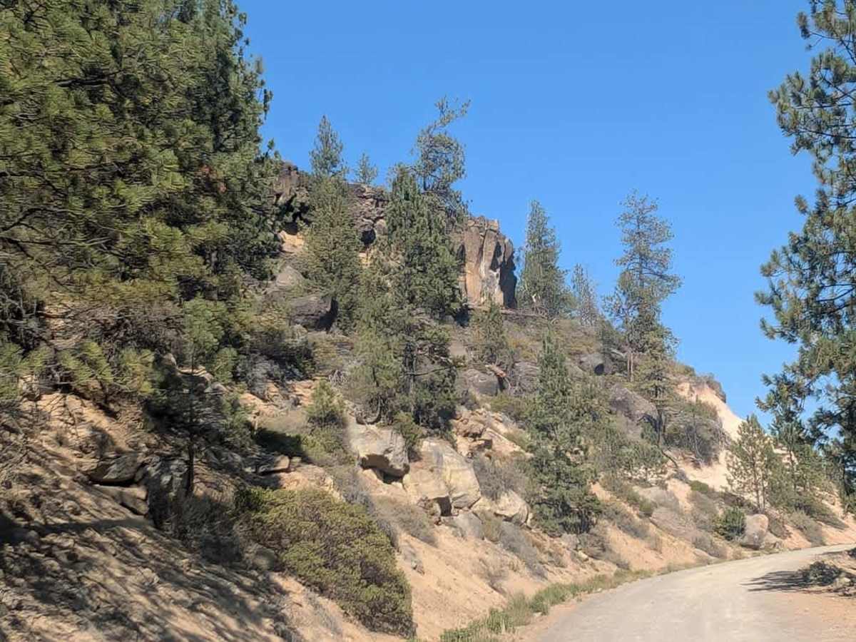
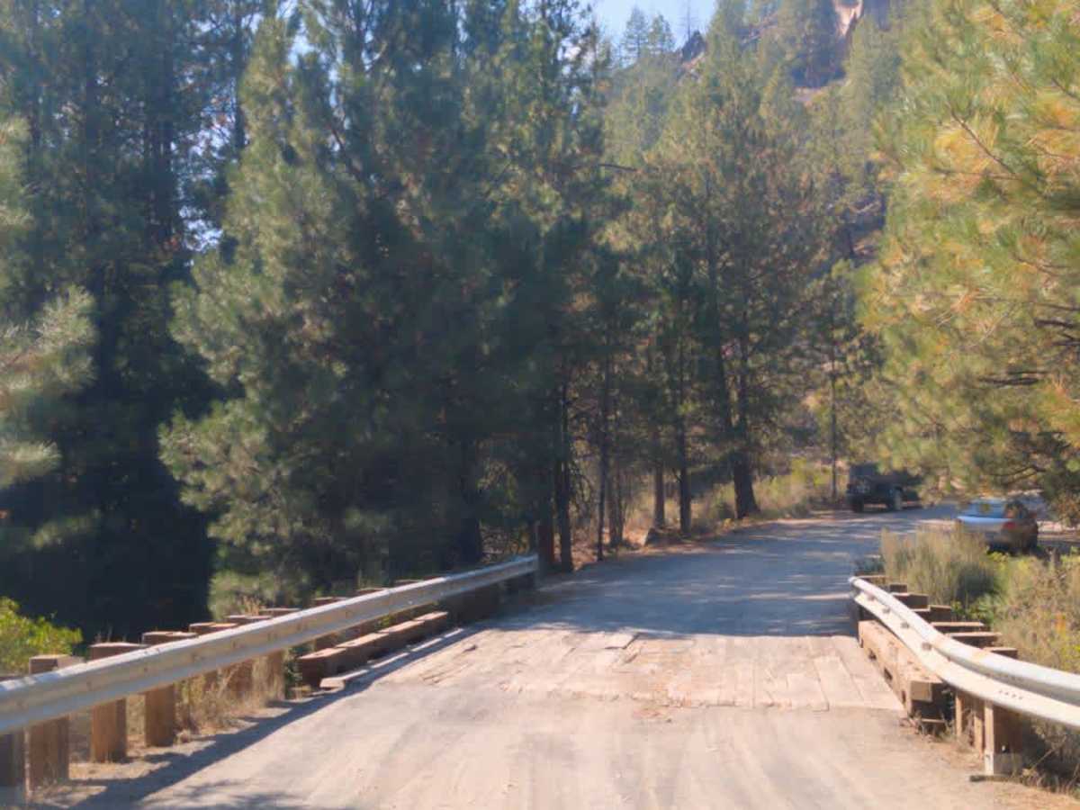
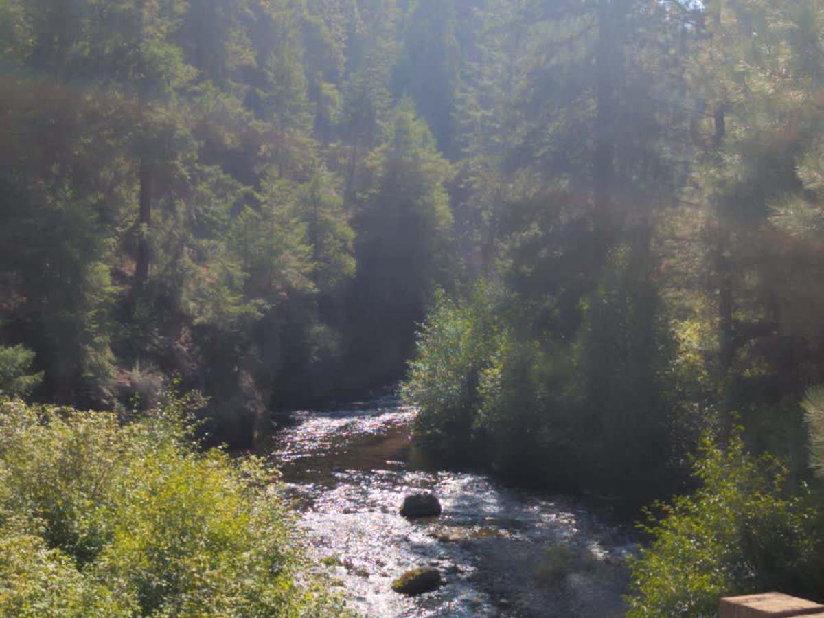
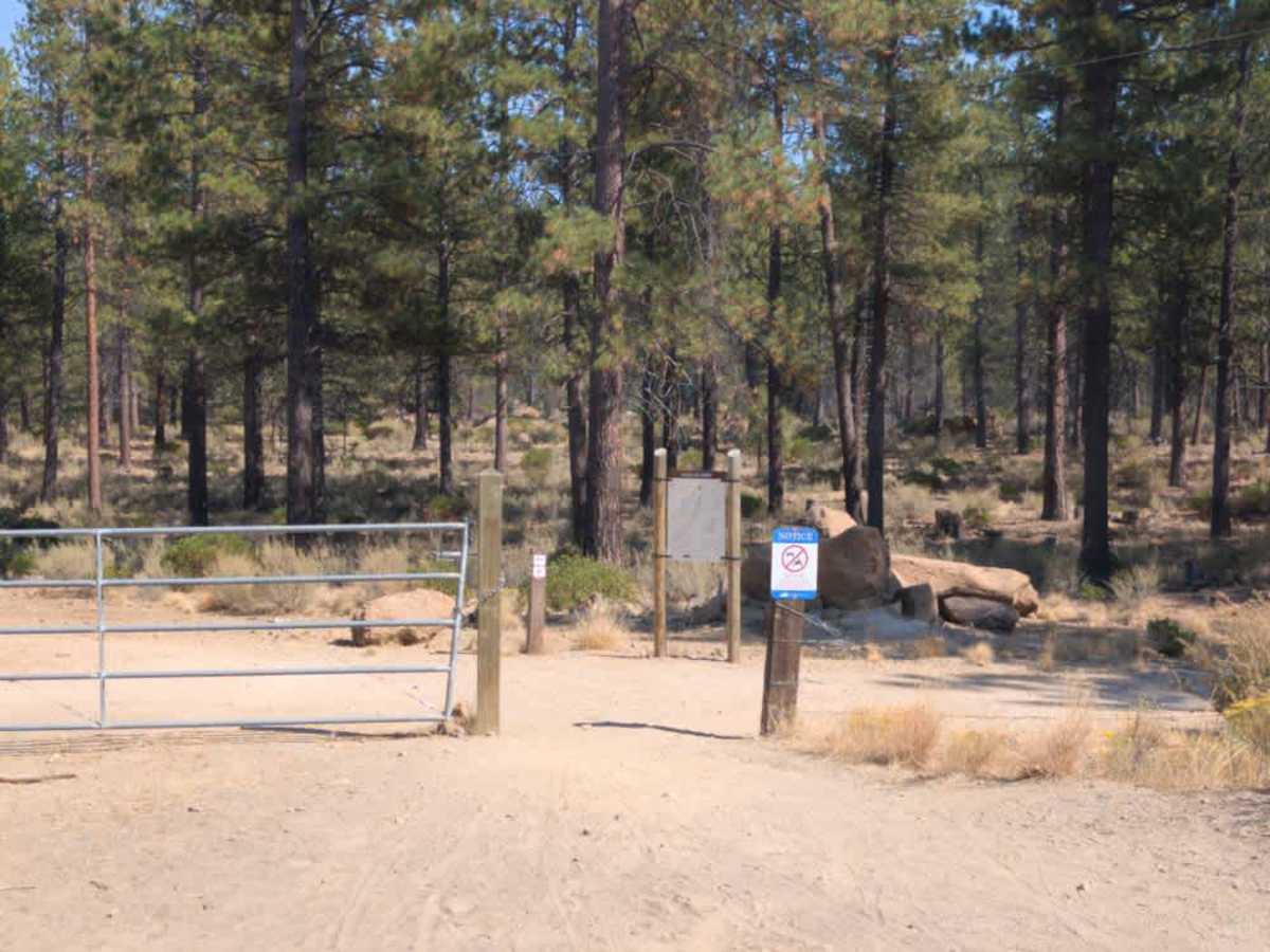
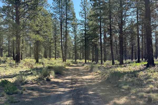
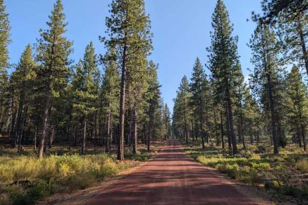
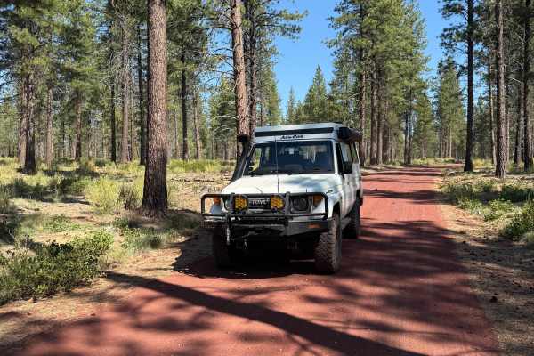
This trail begins near a private company and runs alongside private property, so visitors should pay close attention to posted notices and property boundaries, particularly near the northern end. Two sections are shown as blocked, although the section branching to the left appears to be open and available for travel. The road itself is rocky, bumpy, and generally unmaintained, with several dispersed camping opportunities along the route. It climbs steadily before reaching a plateau, where the road becomes somewhat smoother, then continues with a gradual descent. The surrounding forest is dry and includes areas affected by past burns, so conditions may vary depending on recent fire activity and seasonal restrictions. Traffic is generally light, though you may encounter trucks. When approaching from the south, use extra caution at the blind corner just before the bridge. A sign warns of the bridge ahead, but it may seem closer than expected when approaching the corner. This trail has a seasonal designation; check current restrictions before traveling. ATVs, UTVs, Side-by-Sides, and Dirt Bikes must always have a valid Oregon ATV Operating Permit sticker.