FS 4529000

Total Miles2.7
Technical Rating
2Easy
Best TimeSpring, Summer, Fall
Trail TypeFull-Width Road
Accessible By
Open Trail Map

Trail Overview

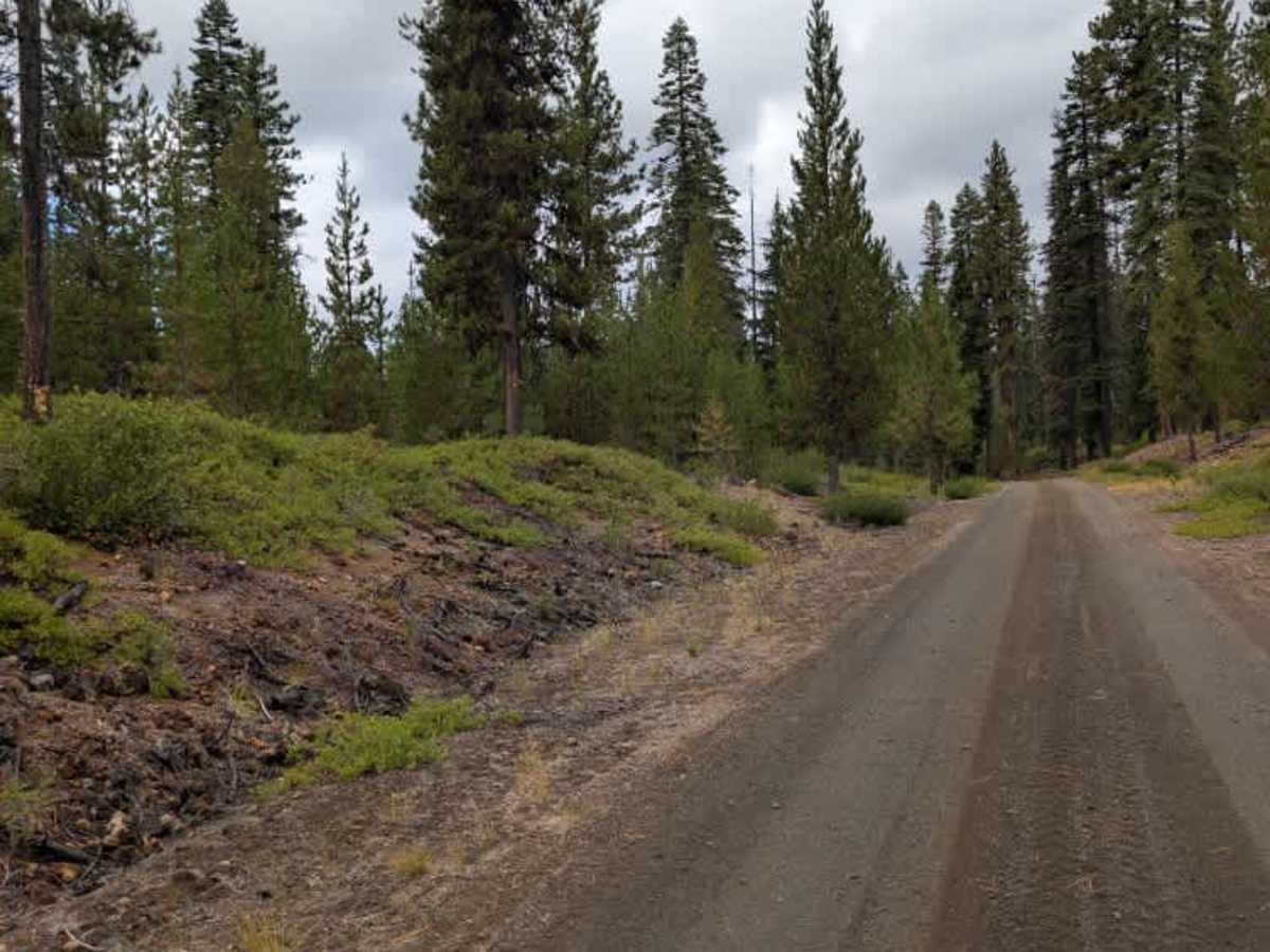
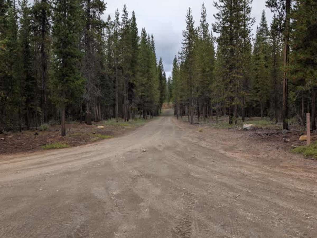
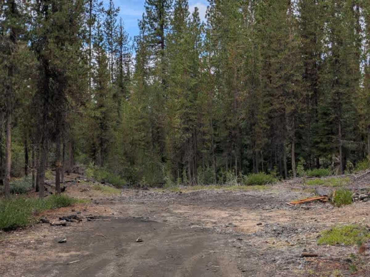
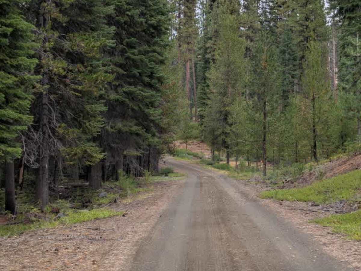
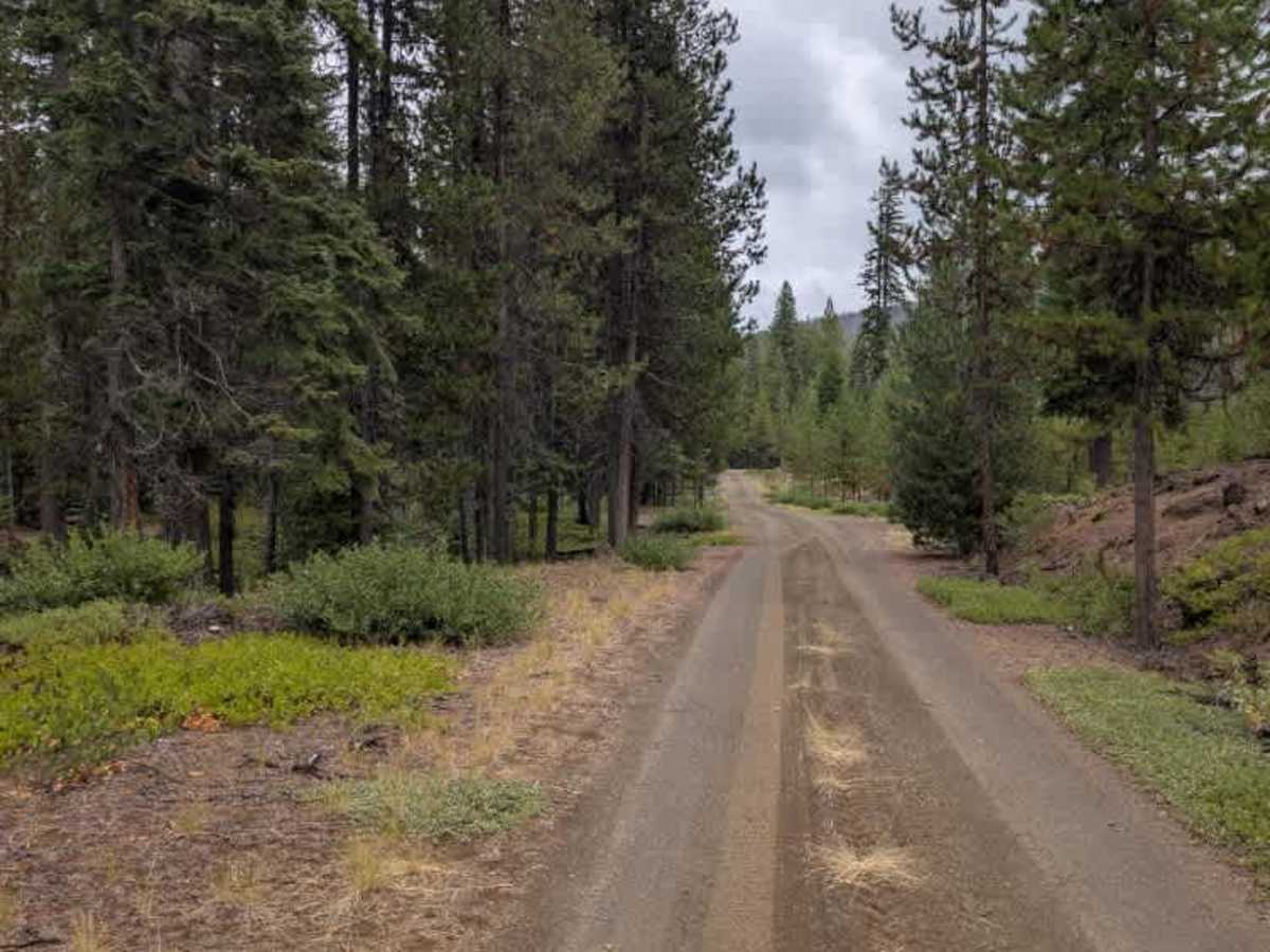
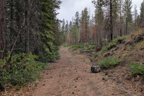
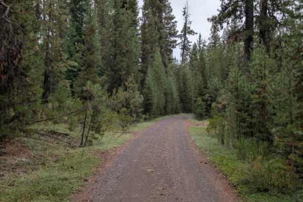
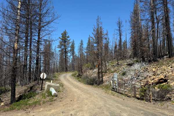
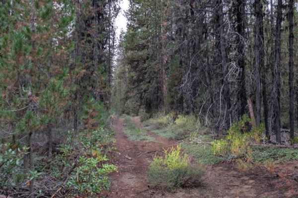
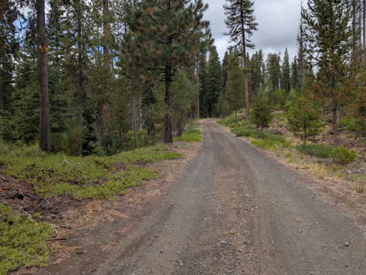
This less-traveled arterial trail connects to several other paths and follows a mostly dirt surface with some gravel and loose chunk rock. The route passes through an alpine setting without any major hills or particularly steep sections. Fallen trees are present throughout the area, but they have been cleared from the roadway, so they do not currently create a significant obstacle. The trail eventually reaches a dead end in an open area that provides plenty of room for vehicles to turn around. The endpoint appears somewhat like a rock pit, with numerous fallen trees surrounding the area and footpaths visible on either side. There are also indications that people have used the area for fires in the past. Some shotgun shells were observed on the ground as well. This route is subject to Seasonal Designation from April 1 through November 30. Please check local regulations and current conditions before traveling. ATVs, UTVs, Side-by-Sides, and Dirt Bikes must always have a valid Oregon ATV Operating Permit sticker.

Photos of FS 4529000

Difficulty

The trail is generally easy, with loose chunk rock creating a few rougher sections.

Technical Rating

2

FS 4529000 Trail can be accessed by the following ride types:

  • Single Track
  • 50 Inch
  • 60 Inch
  • High Clearance
  • Full Width

FS 4529000 Map

The onX Offroad Difference

onX Offroad combines trail photos, descriptions, difficulty ratings, width restrictions, seasonality, and more in a user-friendly interface. Available on all devices, with offline access and full compatibility with CarPlay and Android Auto. Discover what you're missing today!

Open Trail Map