FS 4278200

Total Miles0.8
Technical Rating
3Easy
Best TimeSpring, Summer, Fall
Trail TypeFull-Width Road
Accessible By
Open Trail Map

Trail Overview

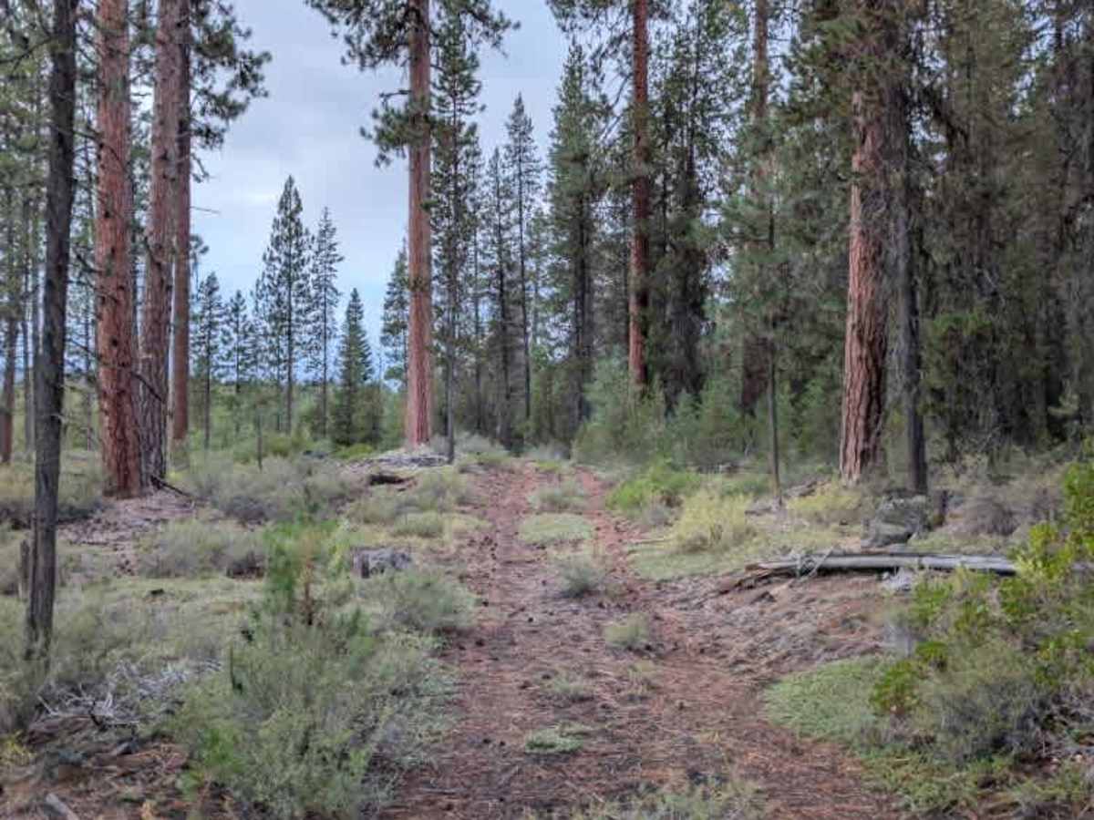
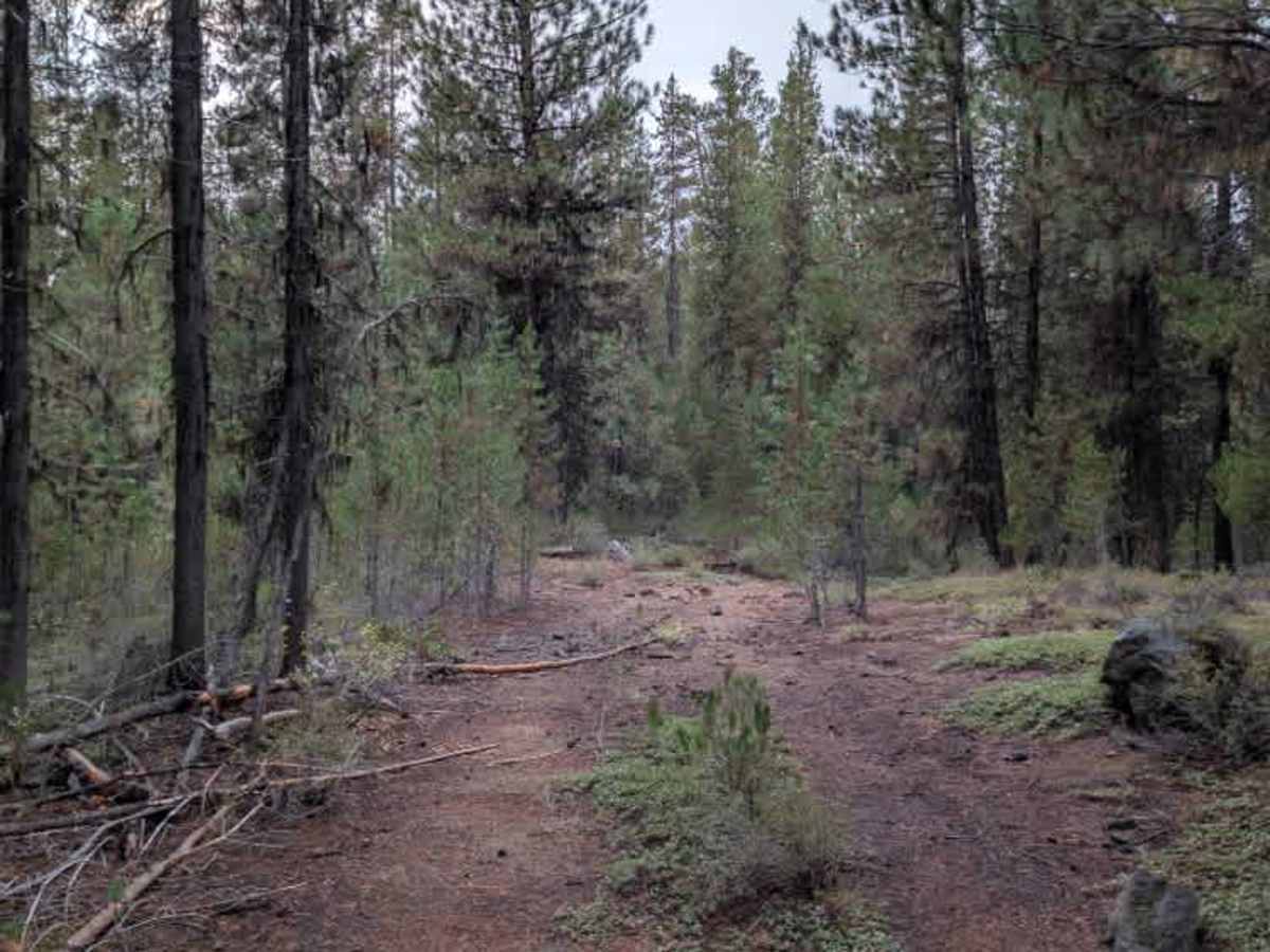
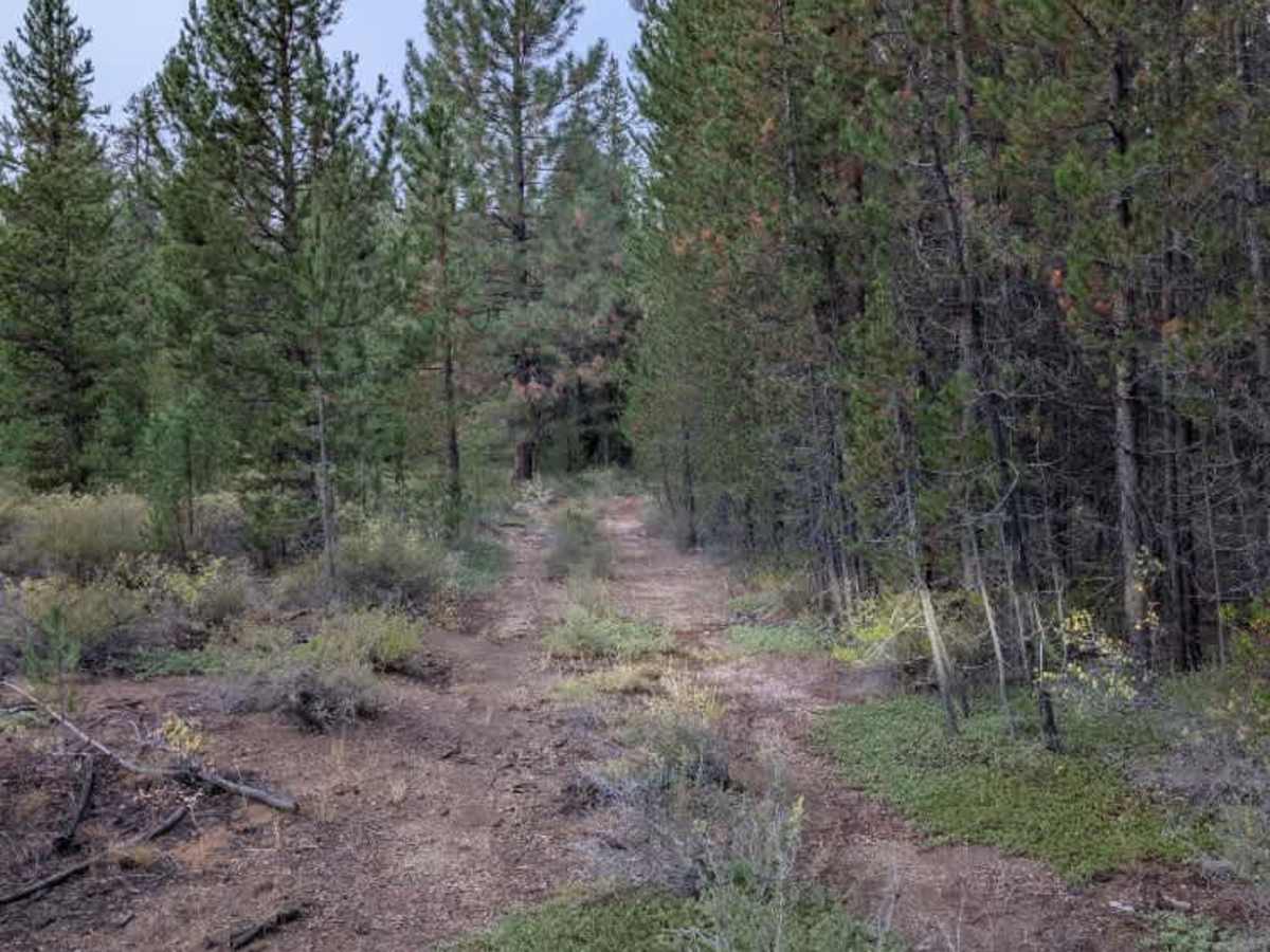
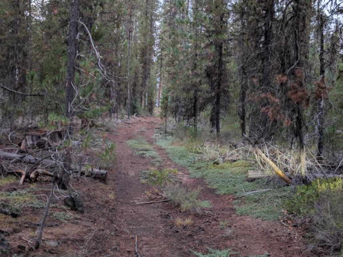
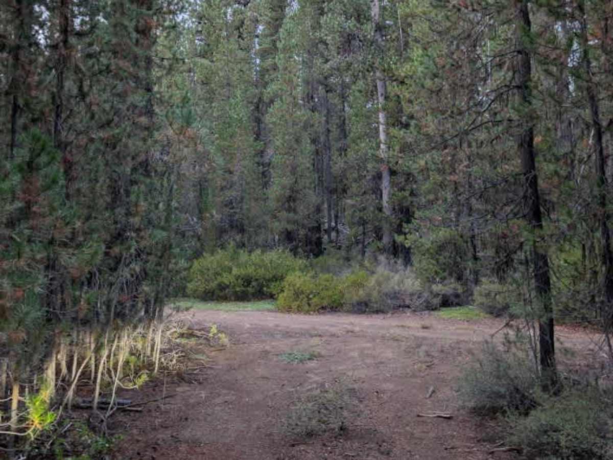
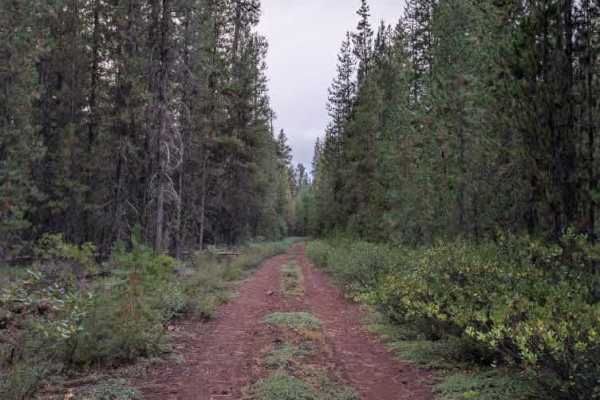
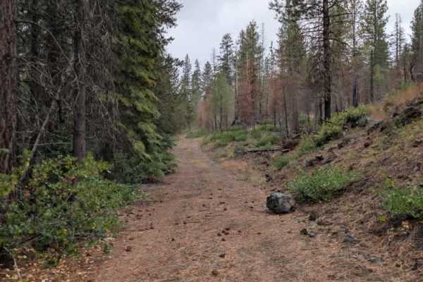
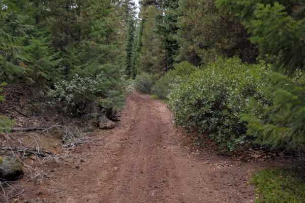
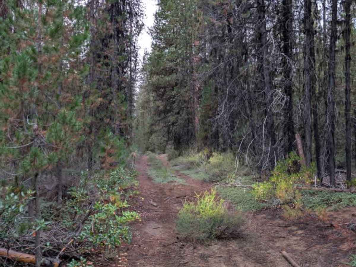
This trail serves as a connector between two arterial roads; one of which is also heavily overgrown and connects to Highway 40, while the other is less overgrown and connects to another highway-legal-only route. The trail itself is very tight, with dense vegetation, numerous trees, fallen debris, overhanging branches, undergrowth, and exposed rocks along the way. The route is narrow enough that vehicle size matters. With tight passages, vegetation, and debris, this trail is not recommended for vehicles wider than 50 inches. Smaller vehicles can navigate the route more easily, but should still expect plenty of close contact with surrounding vegetation and a confined travel path. ATVs, UTVs, Side-by-Sides, and Dirt Bikes must always have a valid Oregon ATV Operating Permit sticker.

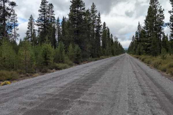
Photos of FS 4278200

Difficulty

The narrow trail and surrounding vegetation create challenging conditions throughout the route.

Technical Rating

3

FS 4278200 Trail can be accessed by the following ride types:

  • Single Track
  • 50 Inch
  • 60 Inch
  • High Clearance
  • Full Width

FS 4278200 Map

The onX Offroad Difference

onX Offroad combines trail photos, descriptions, difficulty ratings, width restrictions, seasonality, and more in a user-friendly interface. Available on all devices, with offline access and full compatibility with CarPlay and Android Auto. Discover what you're missing today!

Open Trail Map