FS 4301130

Total Miles3.8
Technical Rating
1Easy
Best TimeSpring, Summer, Fall
Trail TypeFull-Width Road
Accessible By
Open Trail Map

Trail Overview

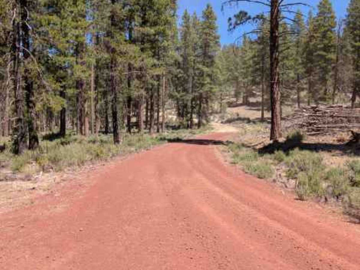
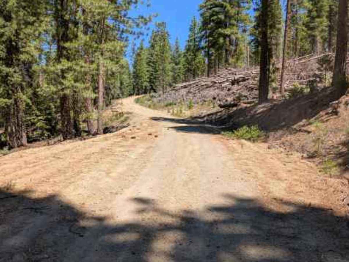
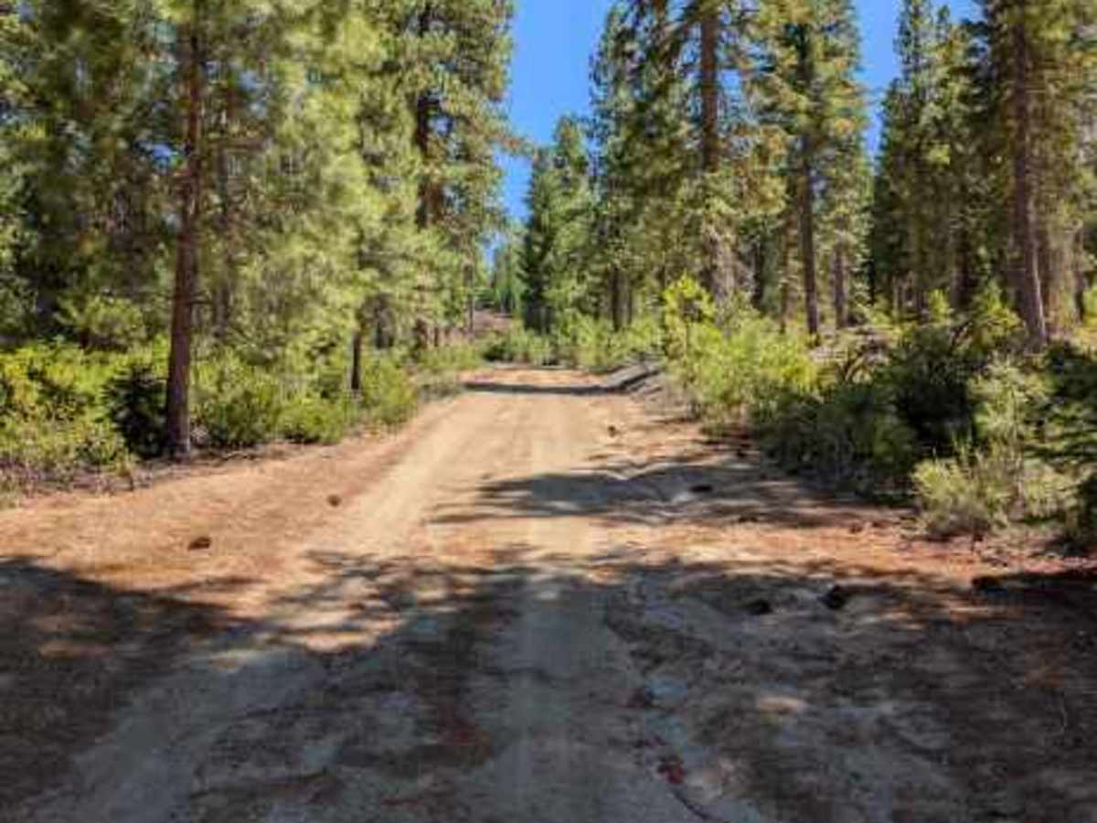
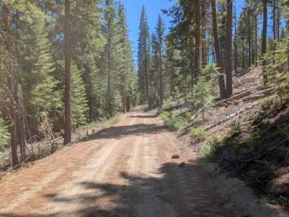
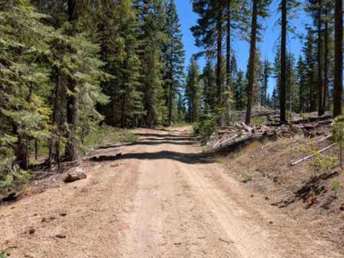
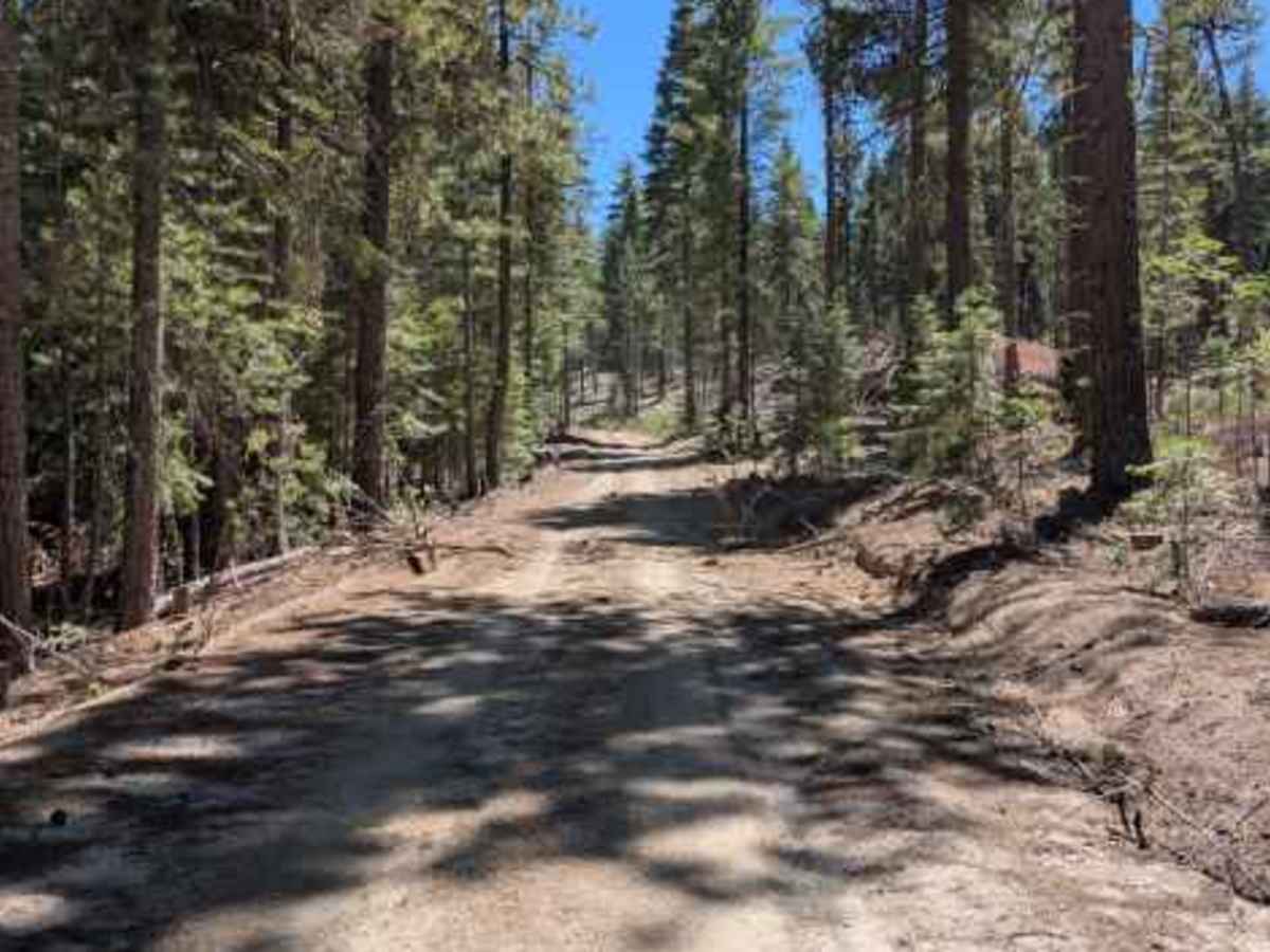
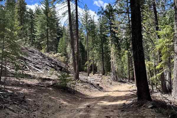
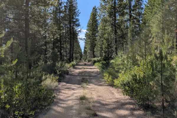
This well-traveled, partially maintained trail follows established logging routes as it crosses the mountain and connects to the opposite side, creating a potential loop with surrounding trails. The route passes through beautiful alpine terrain and offers an enjoyable drive through the forest. While most of the trail is straightforward, there are several inclines where loose rocks and sandy surfaces can reduce traction, especially during climbs. Using low range and four-wheel drive is recommended for these sections to maintain control and avoid unnecessary wheel spin. Overall, this is a scenic and enjoyable trail with only minor challenges. It provides a great combination of accessibility, scenery, and light off-road terrain. ATVs, UTVs, Side-by-Sides, and Dirt Bikes must always have a valid Oregon ATV Operating Permit sticker.

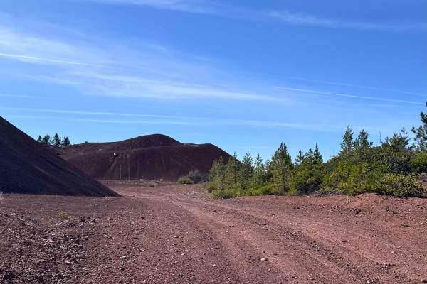
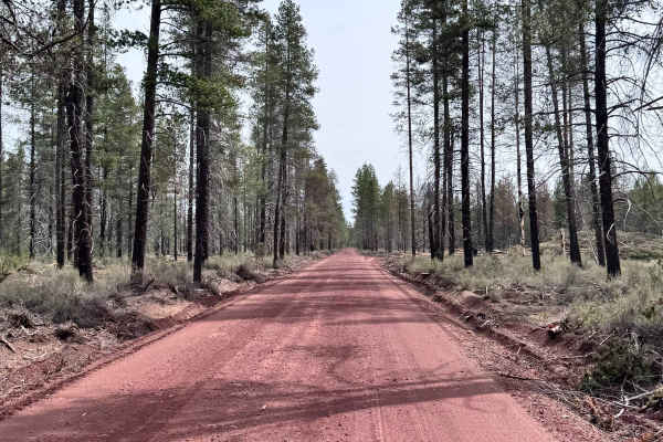
Photos of FS 4301130

Difficulty

This scenic connector is easy overall, with only a few loose uphill sections adding minor technical difficulty.

Technical Rating

1

FS 4301130 Trail can be accessed by the following ride types:

  • Single Track
  • 50 Inch
  • 60 Inch
  • High Clearance
  • Full Width

FS 4301130 Map

The onX Offroad Difference

onX Offroad combines trail photos, descriptions, difficulty ratings, width restrictions, seasonality, and more in a user-friendly interface. Available on all devices, with offline access and full compatibility with CarPlay and Android Auto. Discover what you're missing today!

Open Trail Map