Trail Overview
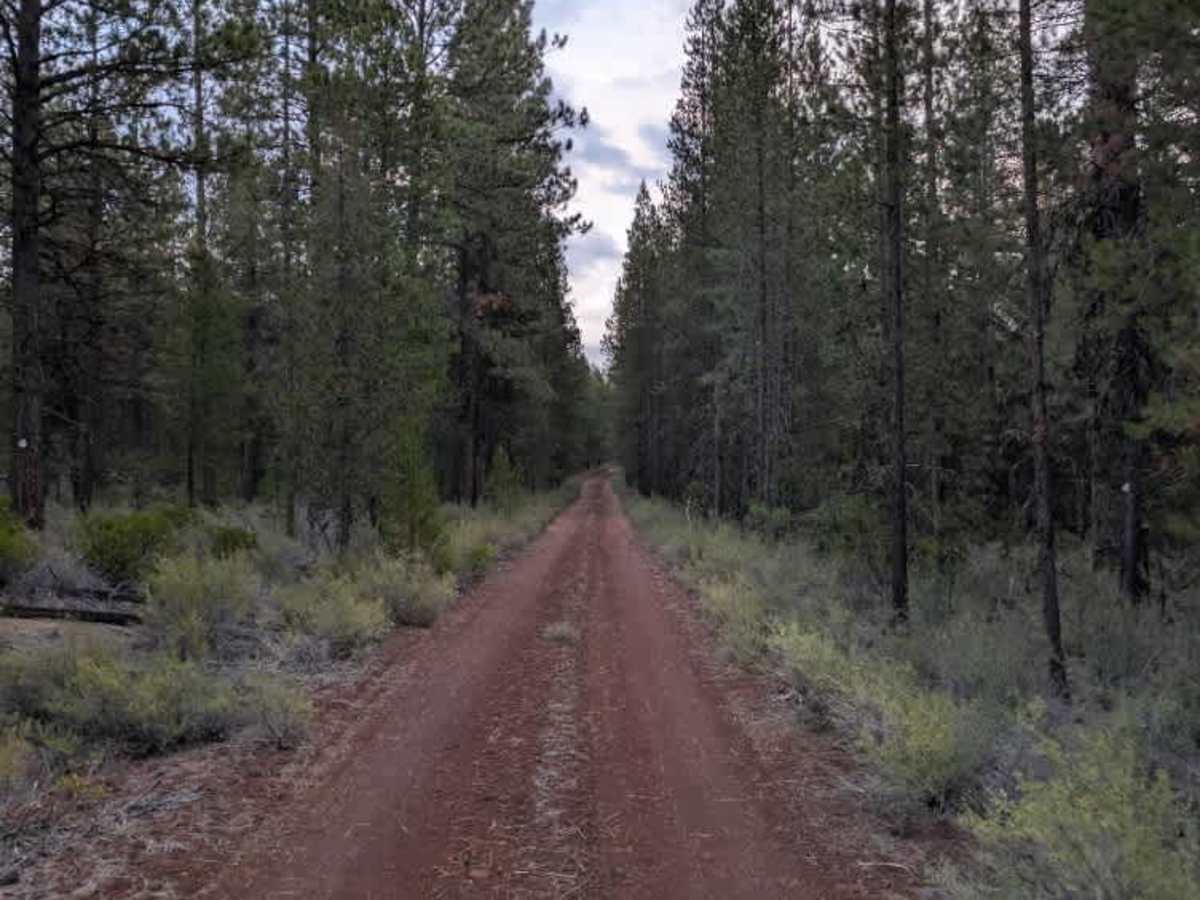
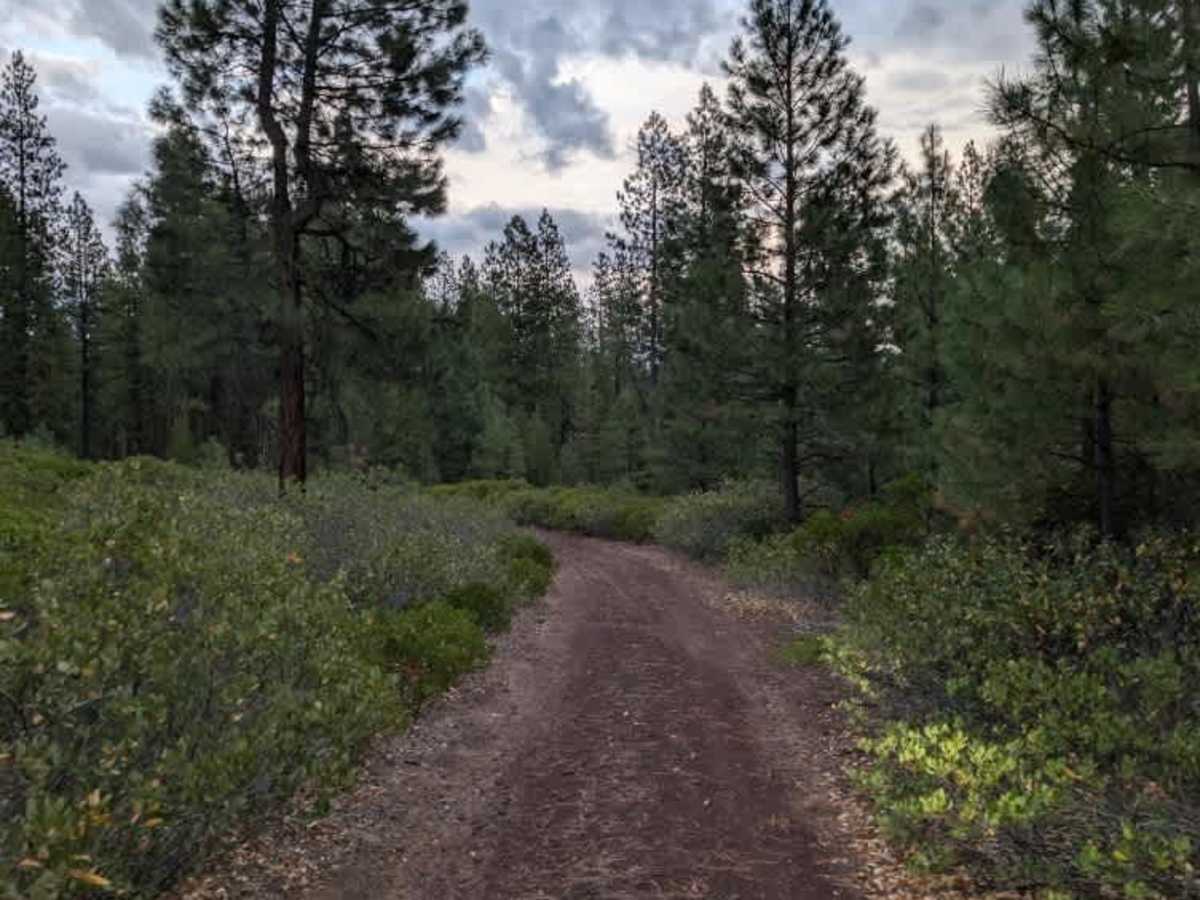
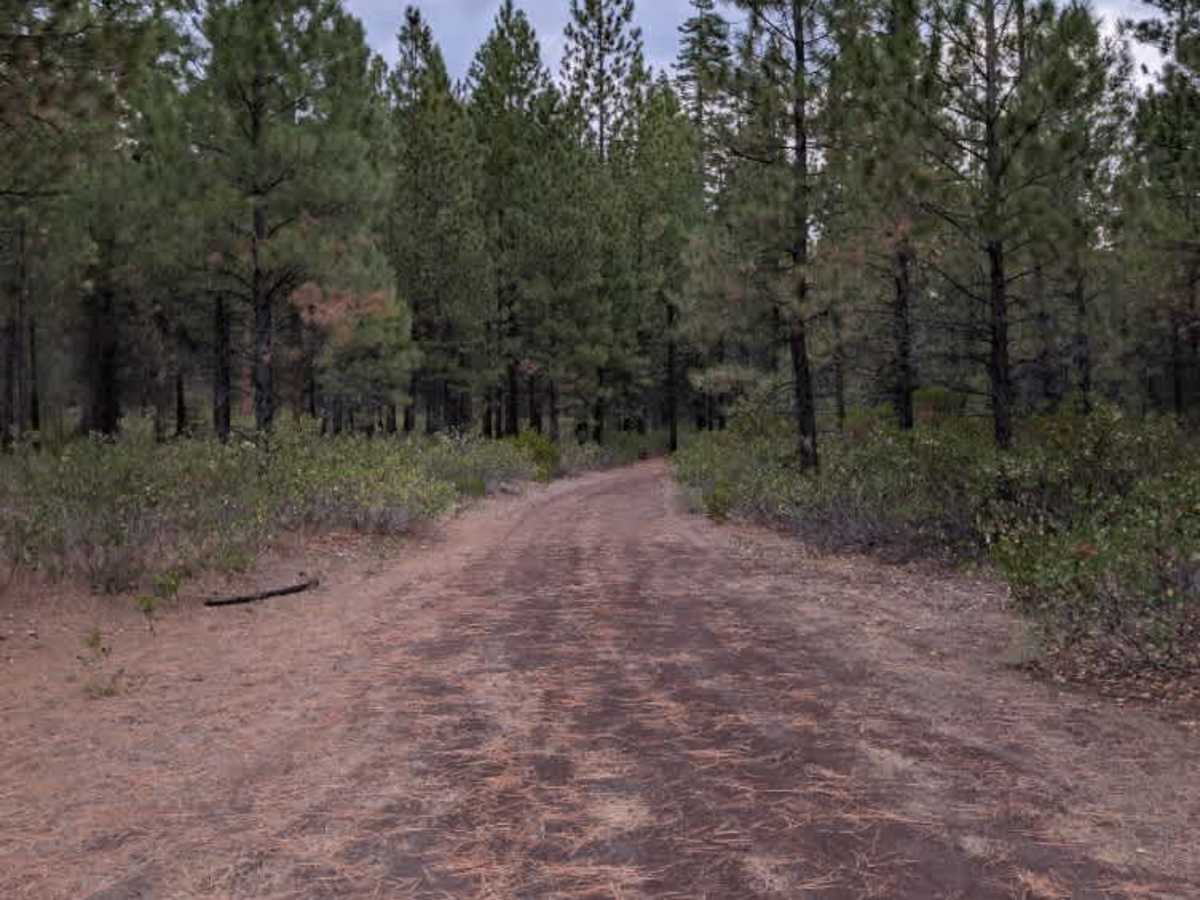
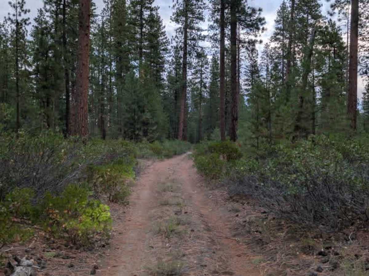
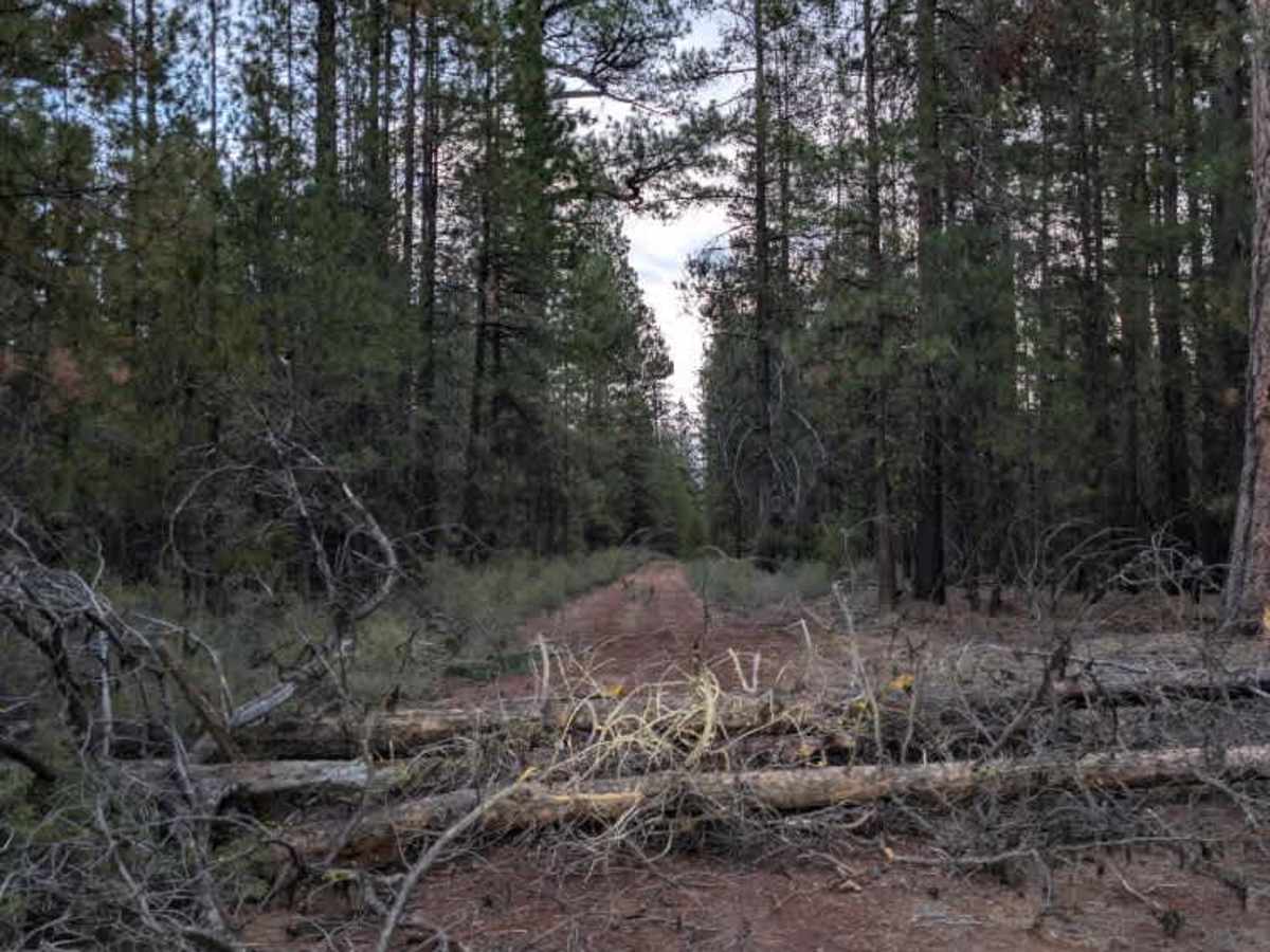
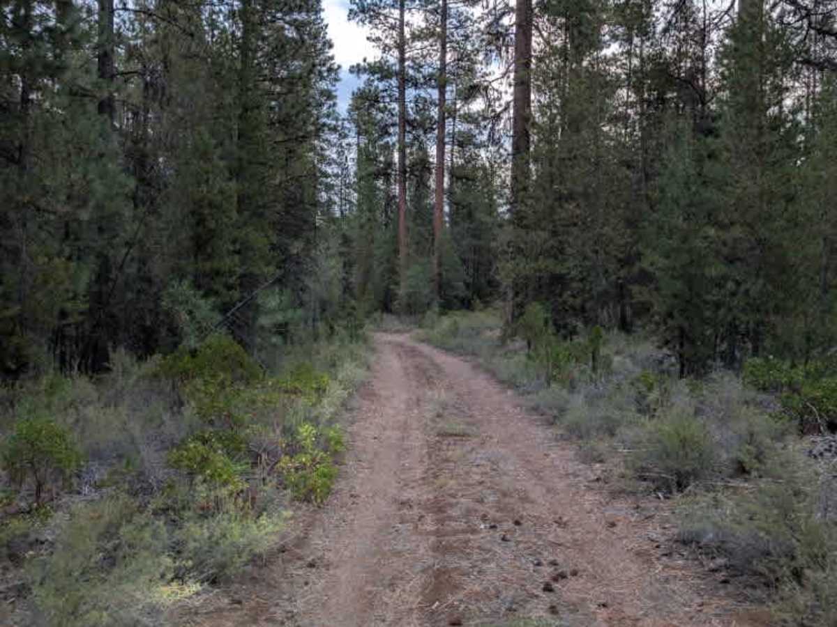
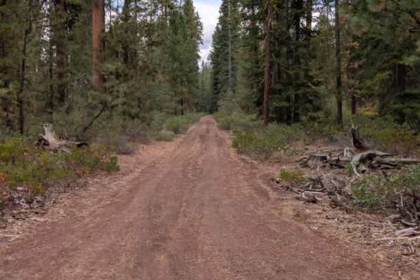
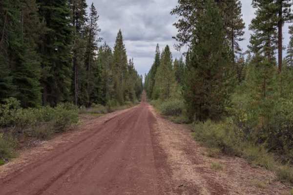
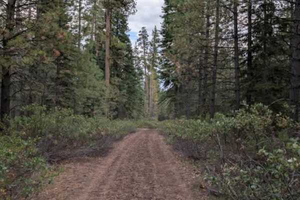
This non-maintained red gravel road connects to several other trails and winds through a mix of dense shrubs and forest. The route is surrounded by plenty of greenery, with the landscape becoming more heavily wooded as it continues. While the setting is pleasant, the road itself has several challenging sections that require careful attention. Water erosion has created rough, uneven areas throughout the trail, and some inclines have sharp rock ledges that are fairly aggressive. These sections require at least a 4x4, with low range recommended for safely working over the steeper rock ledges. Two or three fallen trees also block the route; the trees are large enough to prevent larger rigs from continuing, and they could not be cleared during this trip. Anyone planning to travel the route should be prepared to deal with the fallen trees if clearing them is permitted. ATVs, UTVs, Side-by-Sides, and Dirt Bikes must always have a valid Oregon ATV Operating Permit sticker.