FS 4070500

Total Miles3.4
Technical Rating
4Moderate
Best TimeSpring, Summer, Fall
Trail TypeFull-Width Road
Accessible By
Open Trail Map

Trail Overview

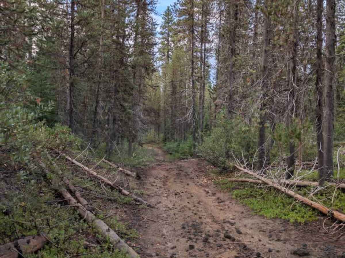
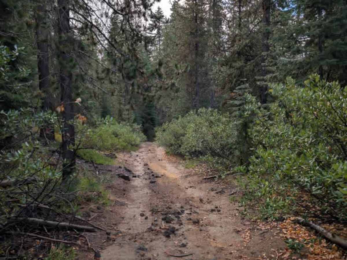
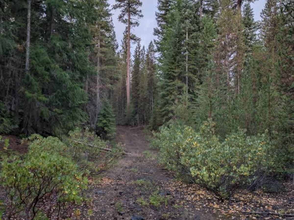
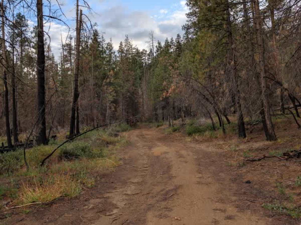
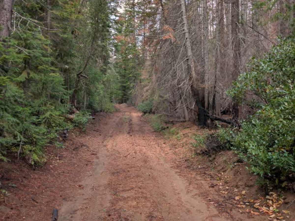
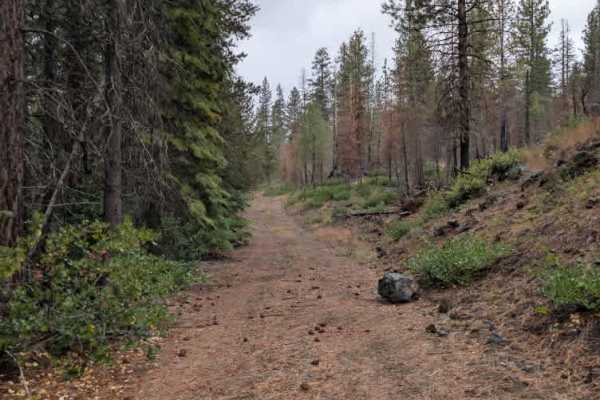
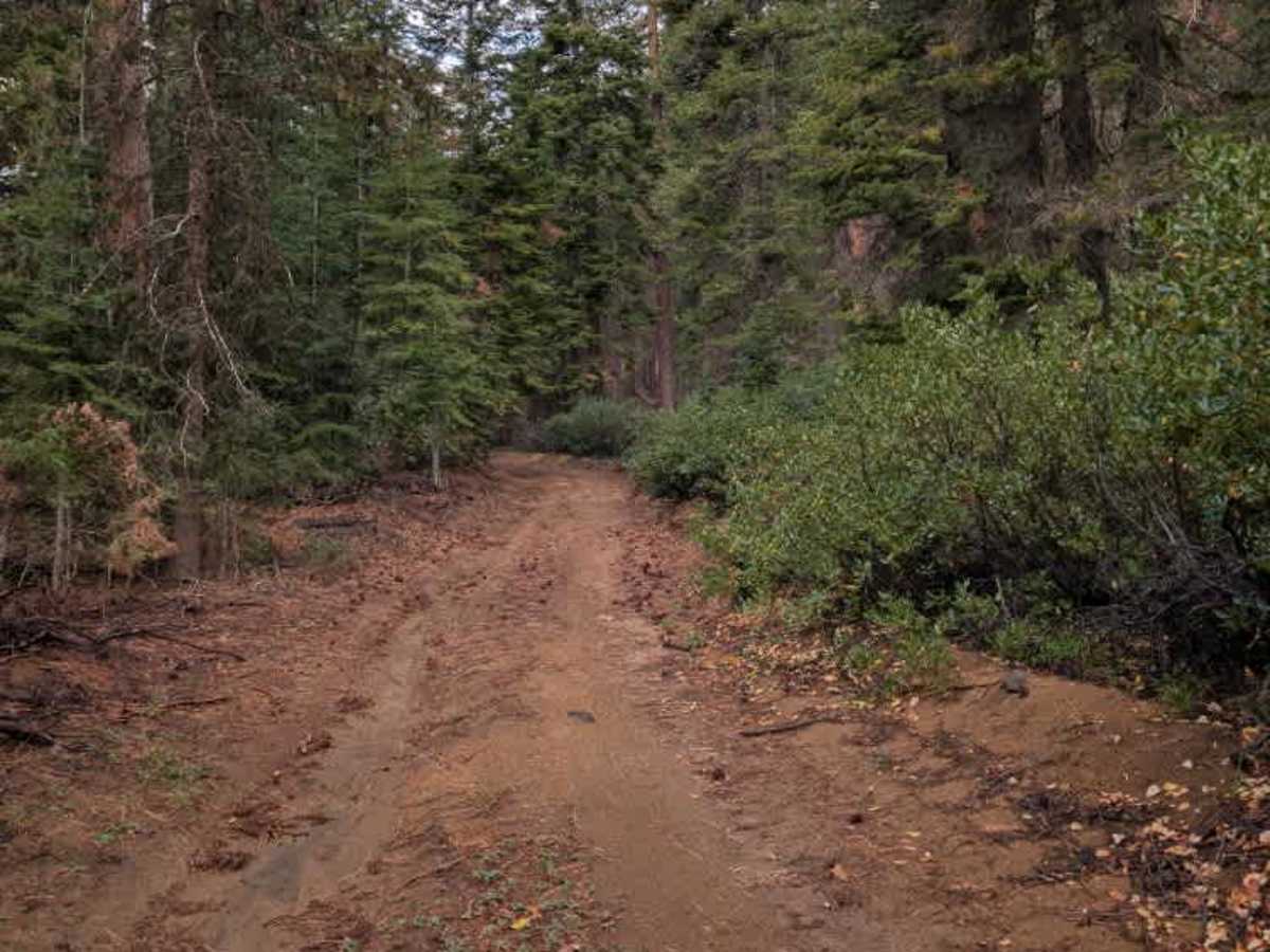
This trail is more of an adventure ride than a typical forest route, with challenging terrain beginning almost immediately as you enter from the east side. The trail starts with a steep climb where heavy water erosion has created deep channels and an uneven surface. After cresting the hill, the terrain becomes increasingly rocky, with additional water erosion, ruts, ditches, and scattered trees creating a rough and technical route. Large trees that have fallen into the roadway have been cleared up to the intersection with FS 4070, so the main travel path is generally free of large tree debris through that section. Smaller ATVs and SxSs are recommended, while larger vehicles are likely to have a much harder time navigating the route given the terrain’s intensity, so it is not recommended for those. ATVs, UTVs, Side-by-Sides, and Dirt Bikes must always have a valid Oregon ATV Operating Permit sticker.

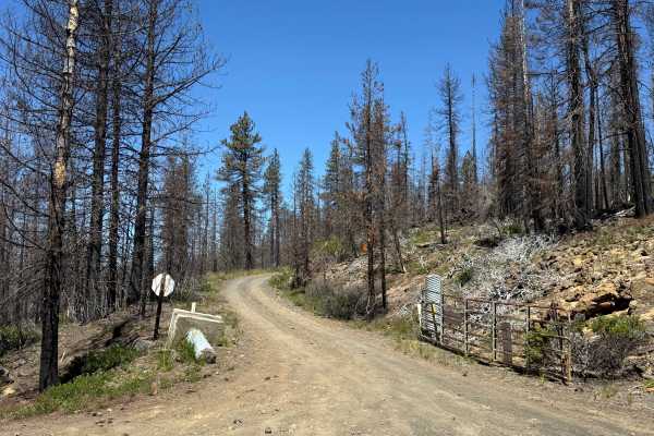
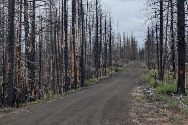
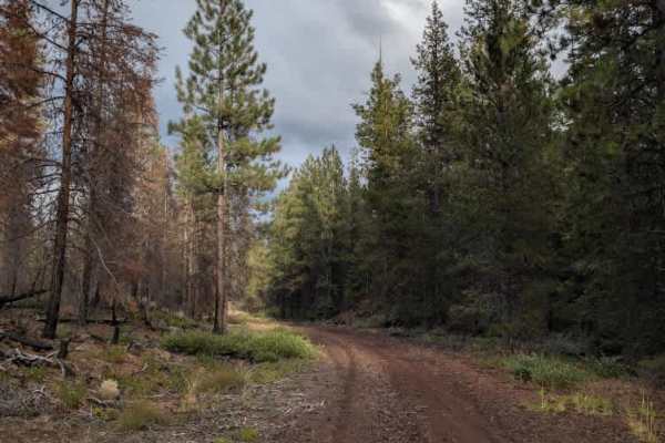
Photos of FS 4070500

Difficulty

The intense erosion and rocky, uneven terrain make this a highly challenging trail, especially for larger vehicles.

Technical Rating

4

FS 4070500 Trail can be accessed by the following ride types:

  • Single Track
  • 50 Inch
  • 60 Inch
  • High Clearance
  • Full Width

FS 4070500 Map

The onX Offroad Difference

onX Offroad combines trail photos, descriptions, difficulty ratings, width restrictions, seasonality, and more in a user-friendly interface. Available on all devices, with offline access and full compatibility with CarPlay and Android Auto. Discover what you're missing today!

Open Trail Map