Trail Overview
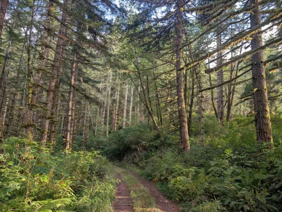
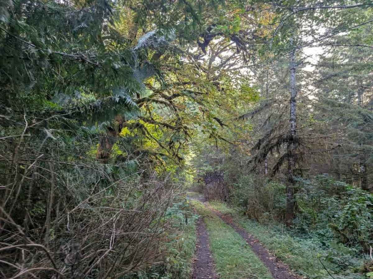
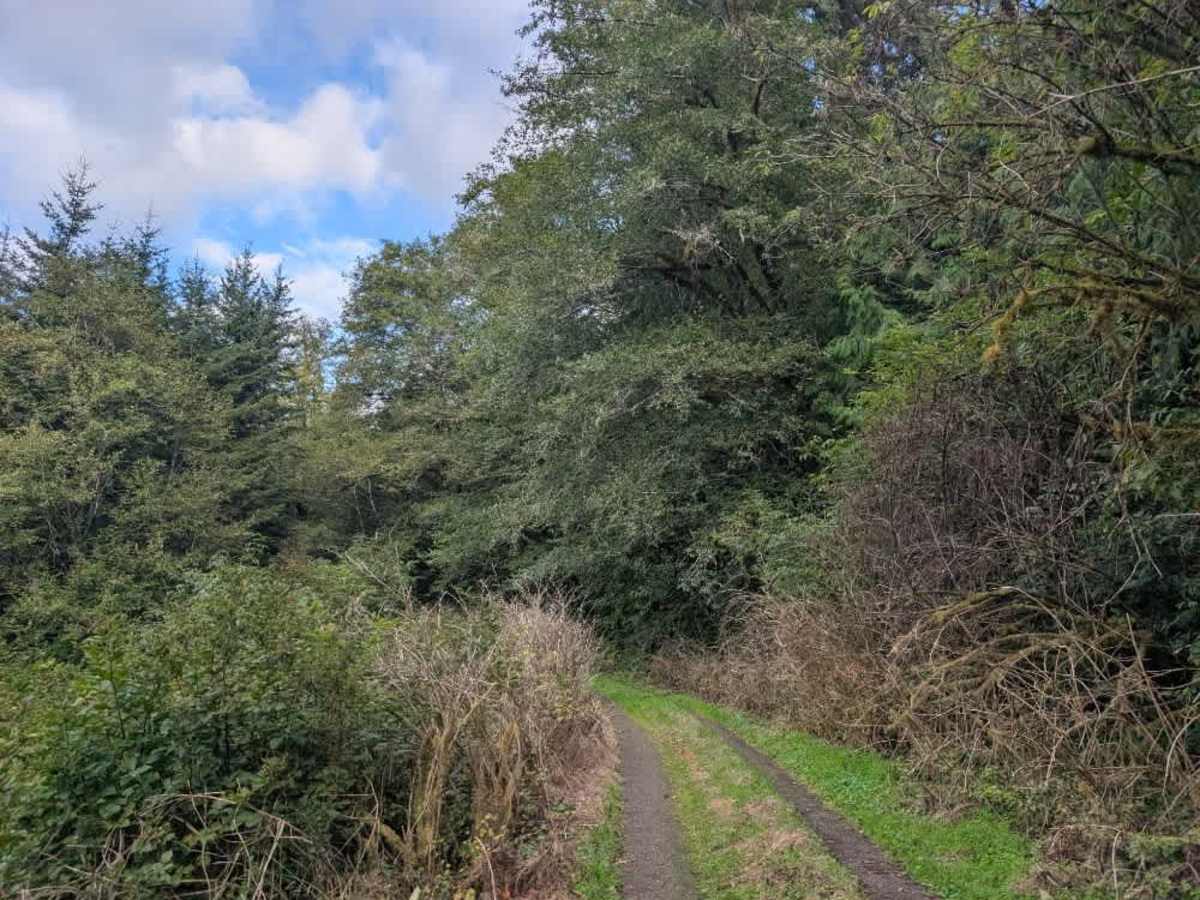
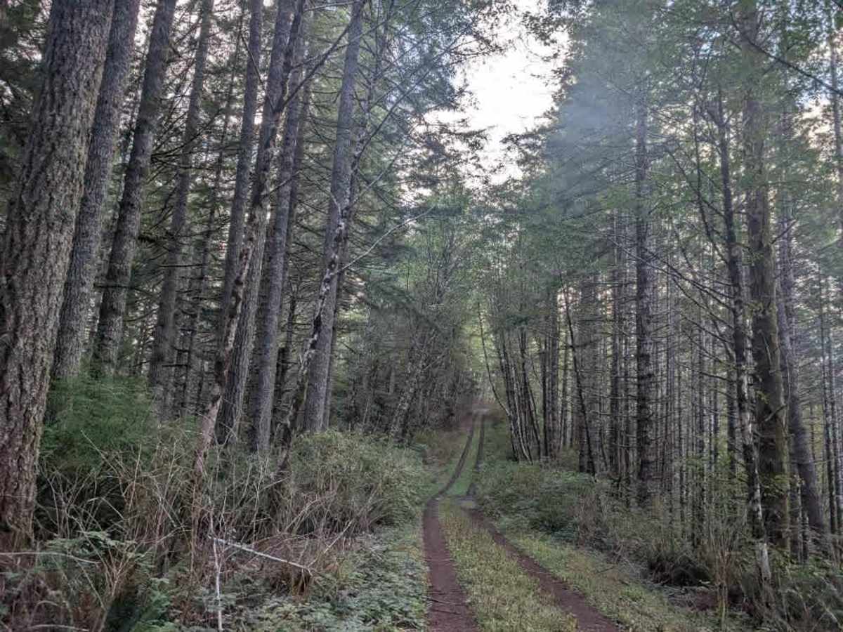
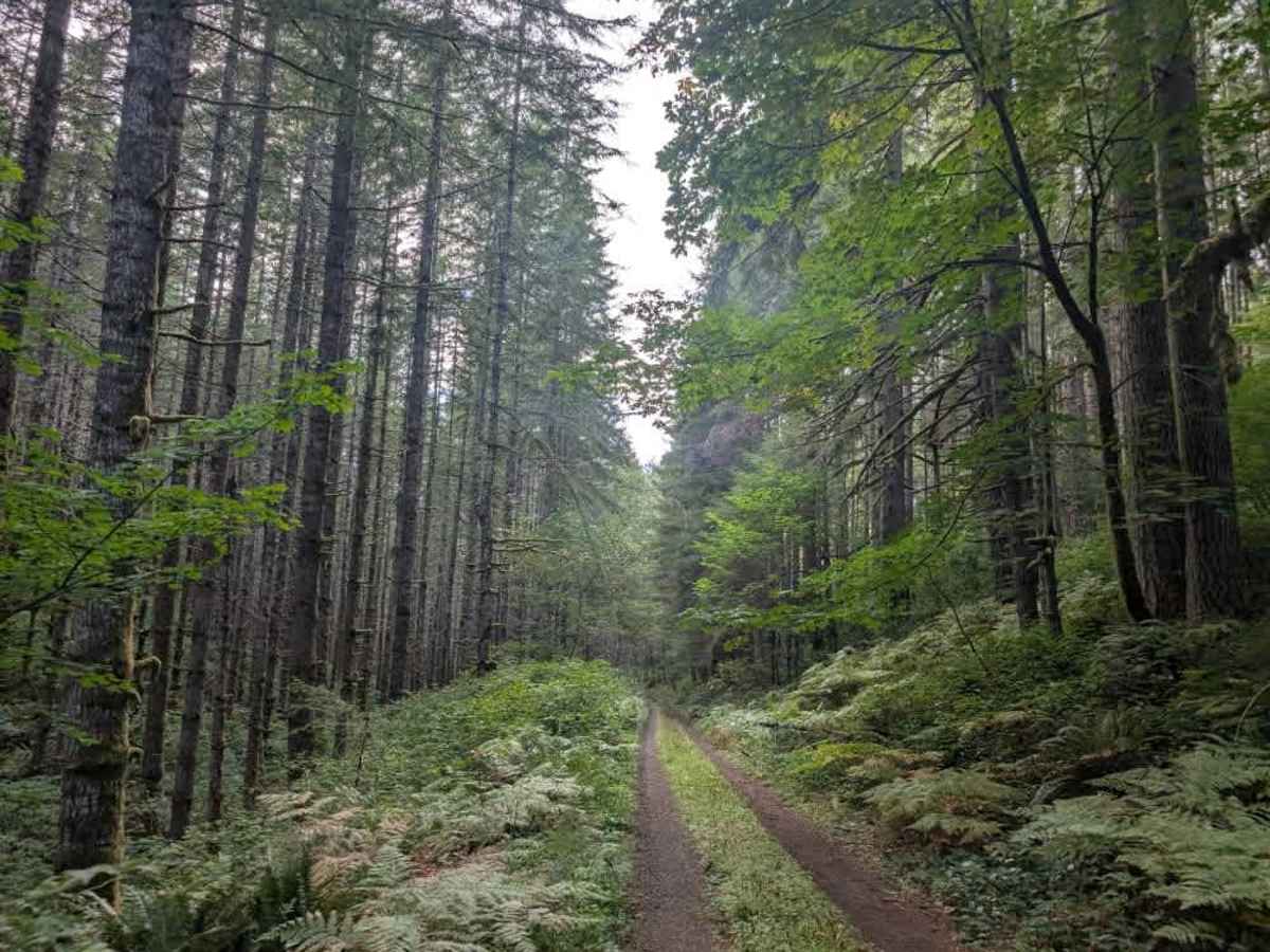
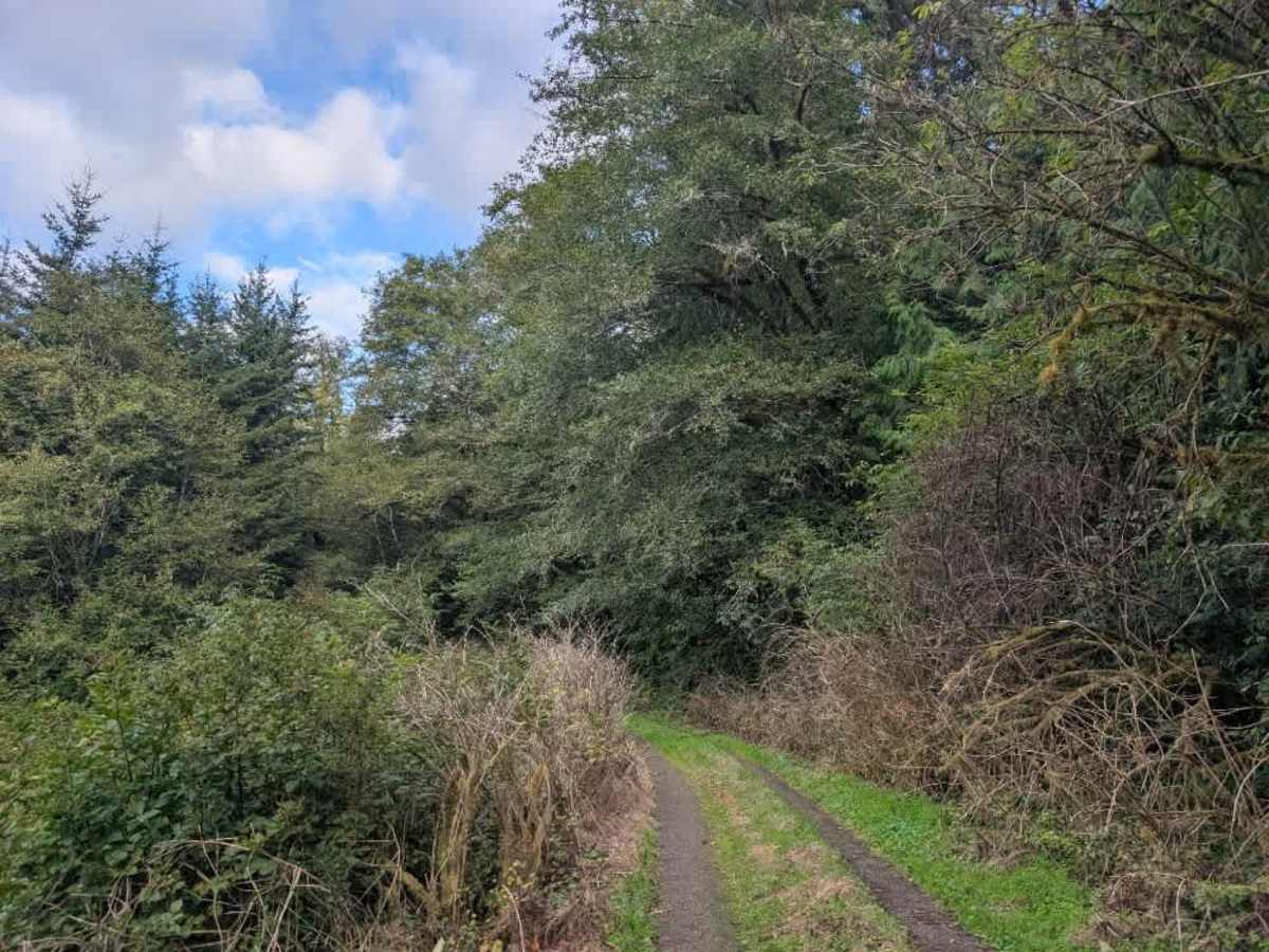
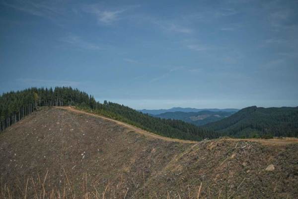
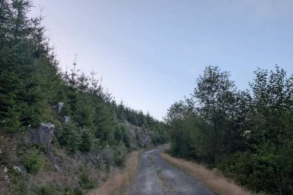
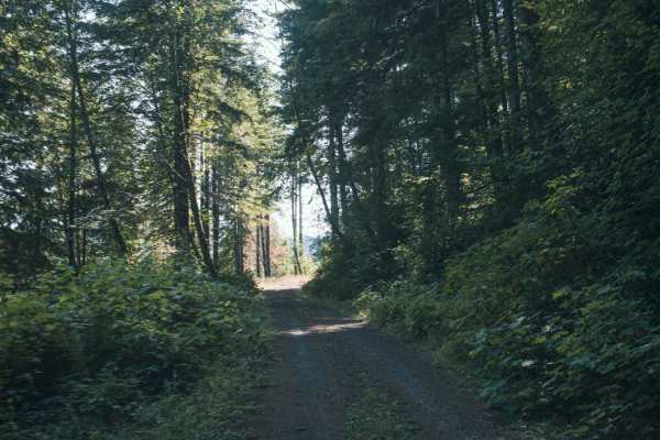
This user-maintained trail consists of gravel tracks with some softer undergrowth growing through the center. The route begins through a beautiful forest with large, moss-covered trees, creating an especially lush setting. The trail climbs and descends several times before eventually reaching a ridgeline. Once on the ridge, the terrain becomes more concerning, particularly when the forest is wet. Mud and moisture can make the surface very slippery, and the trail runs along steep terrain where losing traction could result in a dangerous slide off the side of the road. A capable 4x4 with good traction control is strongly recommended for this route, especially in wet conditions. Use extra caution on the ridge, and avoid attempting the trail if conditions exceed the vehicle’s capabilities. No side trails or additional routes branch from this section, so the route continues along the ridge to its endpoint. The trail currently has no seasonal designation, but winter conditions could make it particularly hazardous because of the steep terrain and potential for mud and loss of traction. ATVs, UTVs, Side-by-Sides, and Dirt Bikes must always have a valid Oregon ATV Operating Permit sticker.