Trail Overview
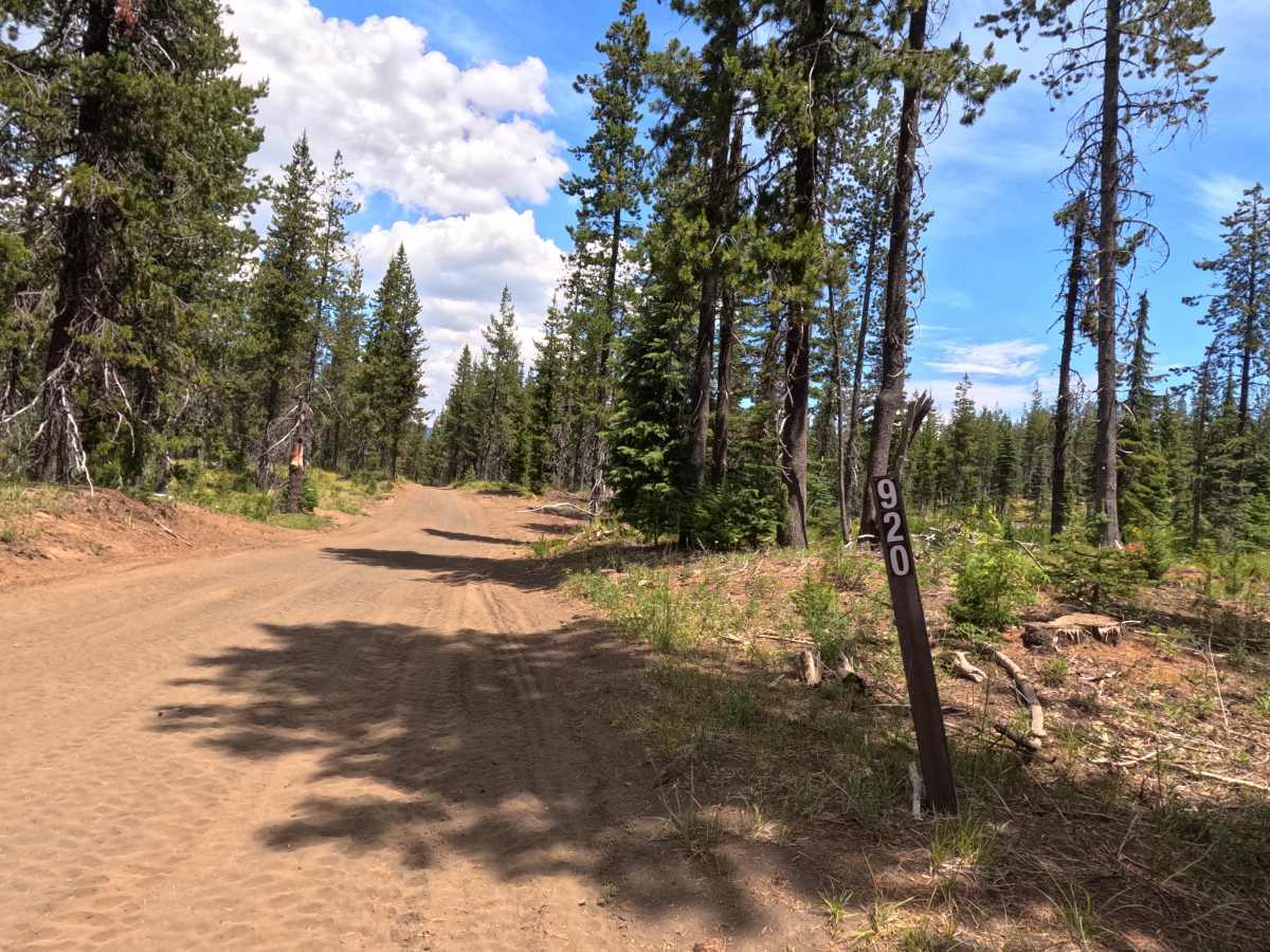
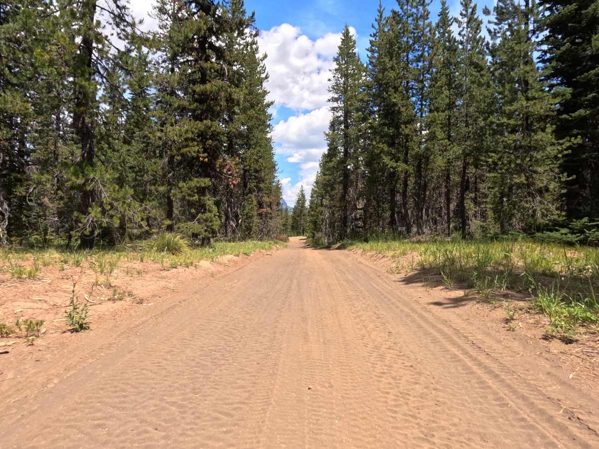
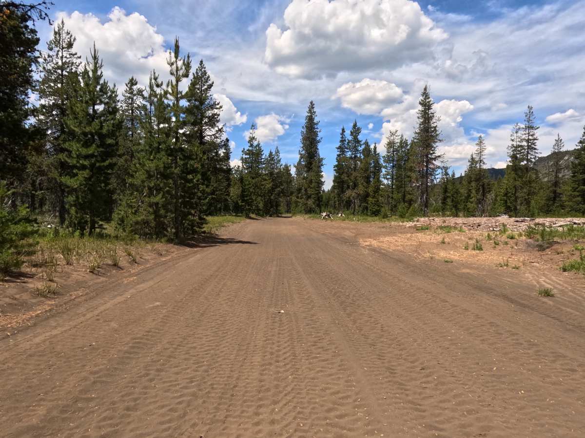
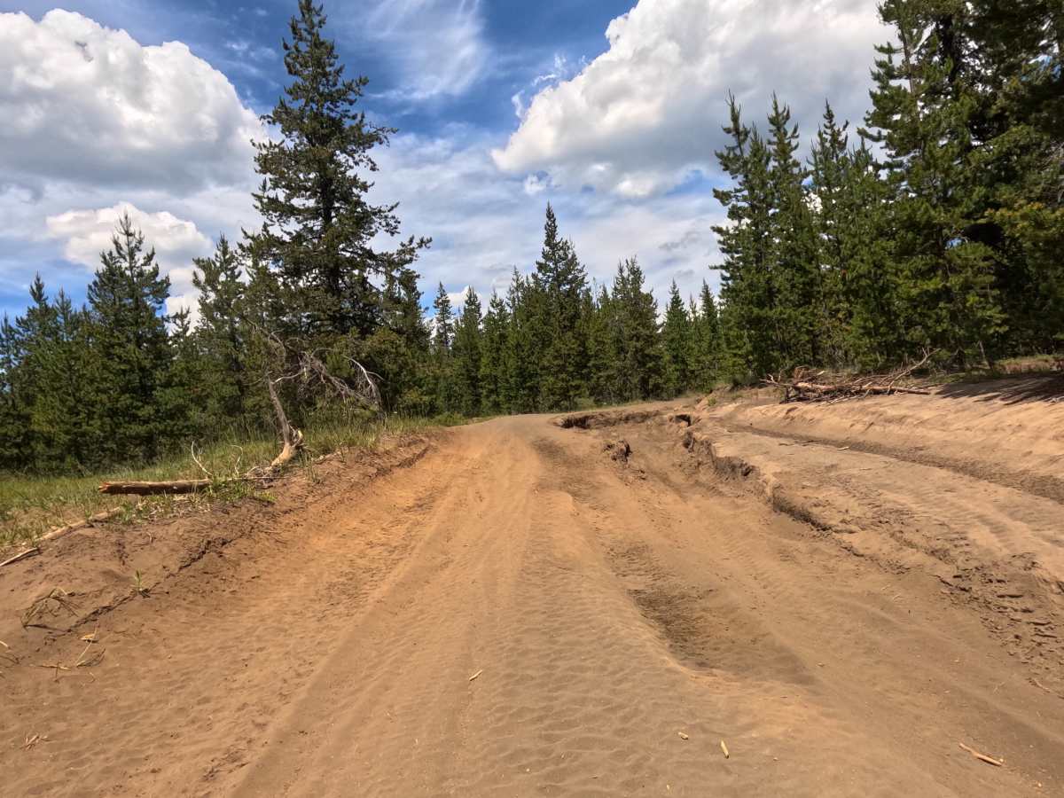
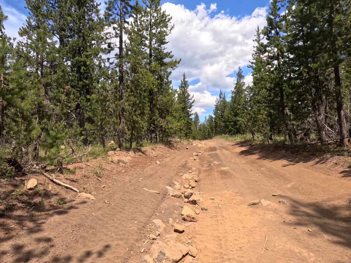
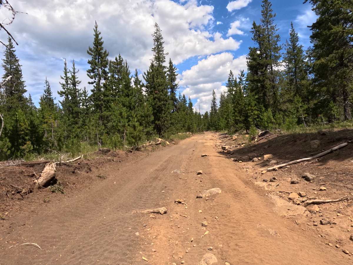
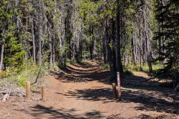
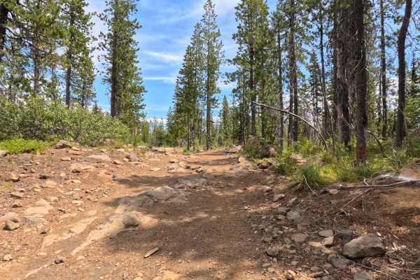
The FS 2690-920 Southern Segment is a rugged, 2-mile transit that begins as a wide, single-lane dirt track cutting through the pine forest, offering plenty of room for vehicles to safely pass oncoming traffic in its southern reaches. As travelers progress northward, however, the trail's character shifts significantly. The wide dirt path transitions into a notably tight, winding corridor heavily embedded with volcanic rock as it approaches the busy intersection with FS 904, located immediately East of the Ray Benson Sno-Park. This route serves as a central artery within a much larger, highly active OHV system; consequently, drivers should anticipate heavy, multi-directional OHV traffic throughout all connecting trails and are strongly advised to keep their speeds strictly in check. Due to the deteriorating surface conditions, including prominent ruts and several distinct rock garden sections that offer optional, harder lines, this route provides an engaging, technical drive best tackled during the drier summer and fall seasons.
Difficulty
The FS 2690-920 Southern Segment firmly earns a Level 3 Moderate technical rating. While the early southern portions are wide, forgiving dirt, the difficulty ramps up as the trail transitions into a tight corridor riddled with jagged volcanic rock. The route forces drivers to carefully navigate several distinct rock garden sections, which frequently offer optional harder lines for those seeking an extra challenge. Furthermore, the presence of localized ruts and encroaching brush requires steady momentum and good spatial awareness. A High Clearance 4x4 vehicle is strongly recommended to safely traverse the rocky segments without sustaining undercarriage damage.