Trail Overview
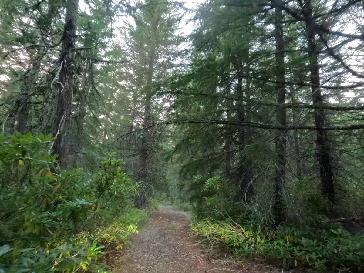
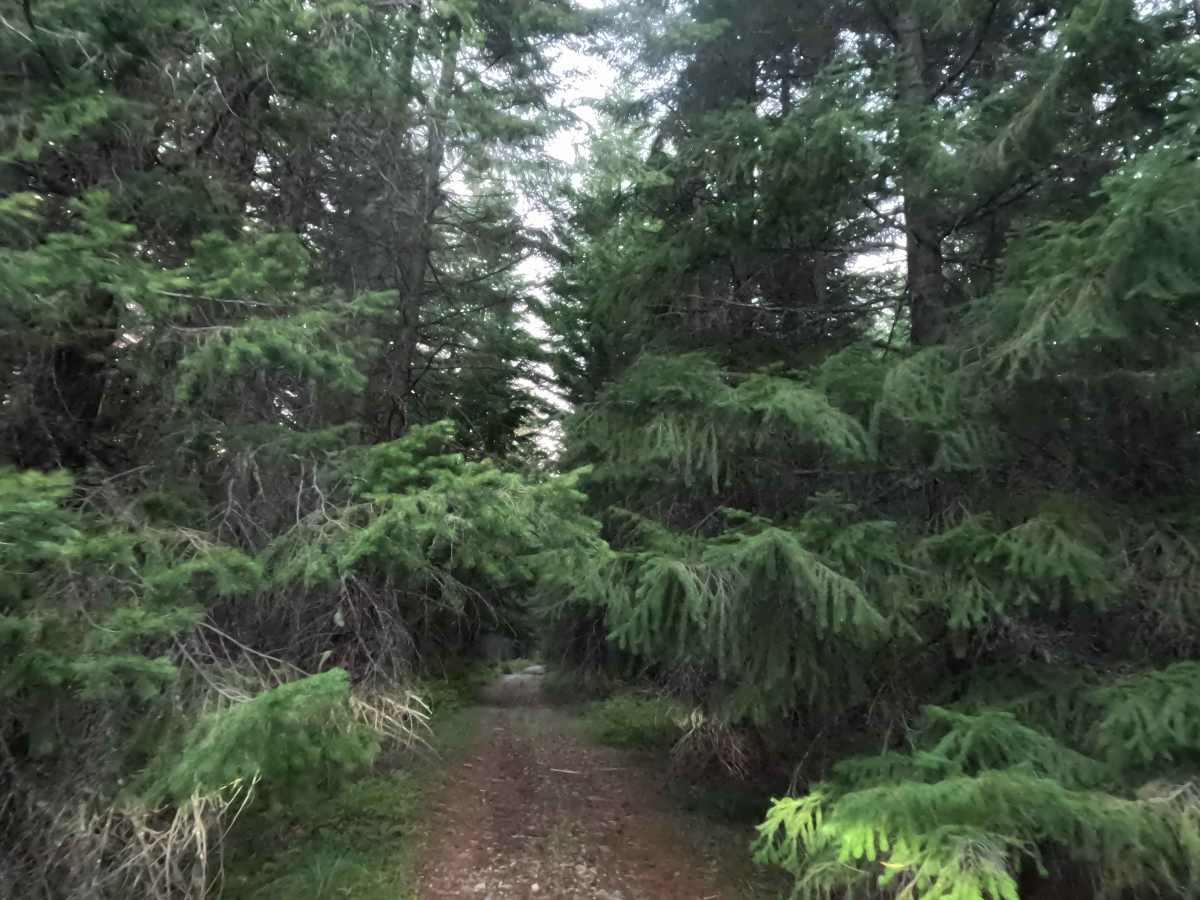
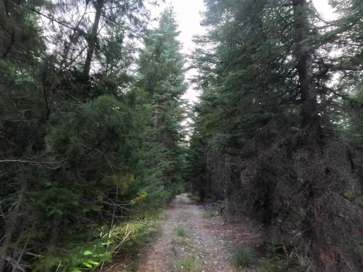
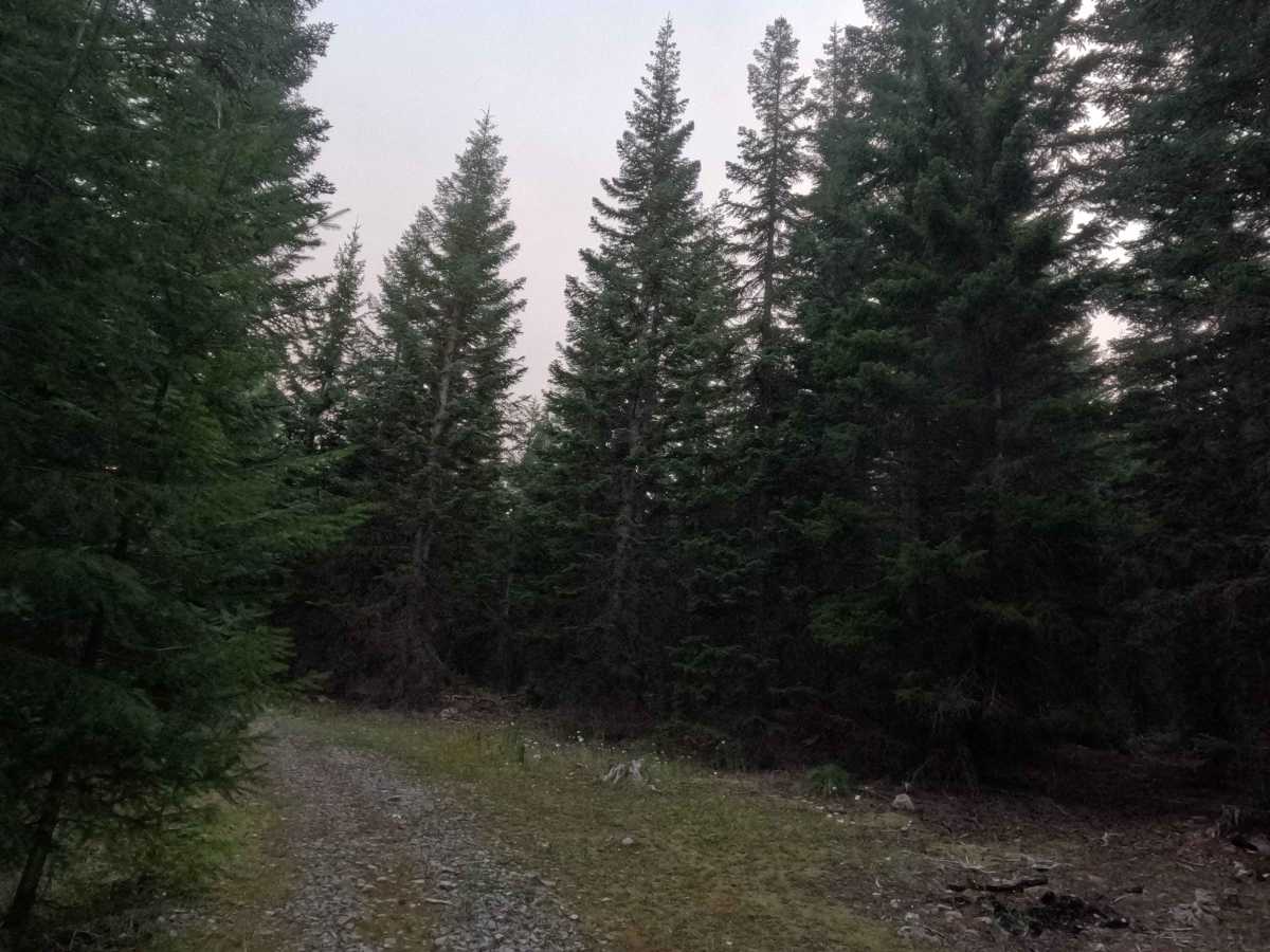
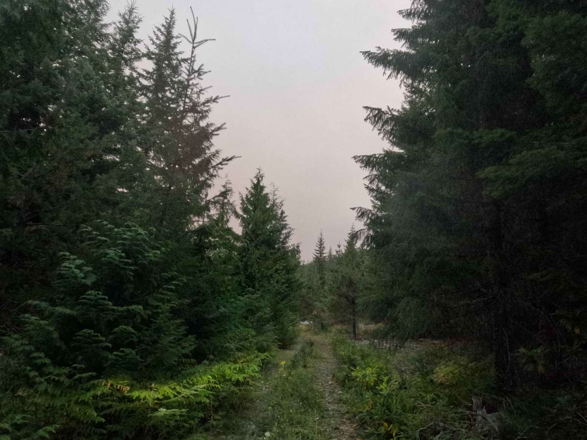
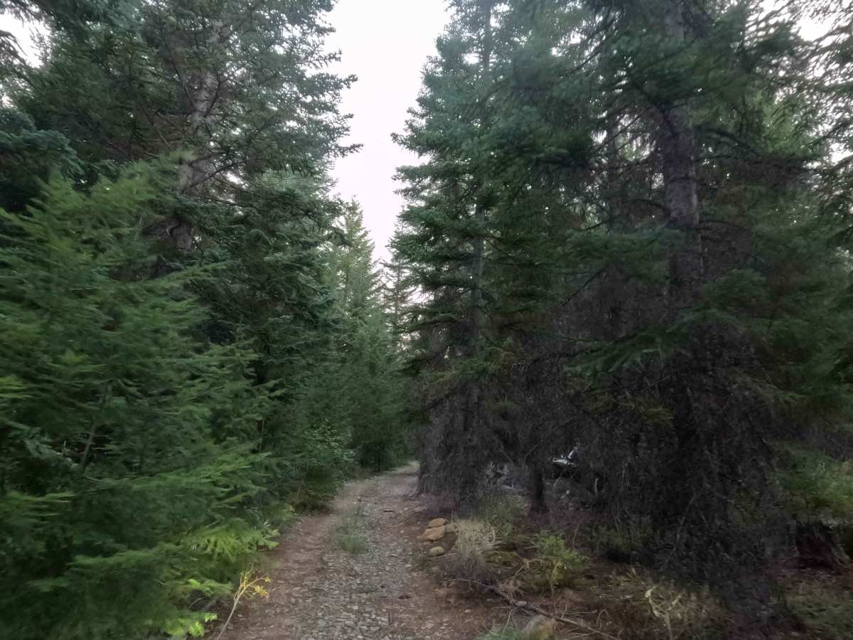
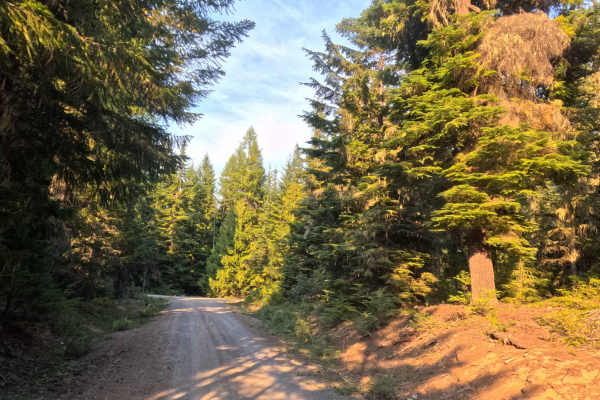
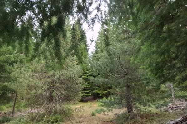
Tucked away in the dense, shaded woodlands of the Mt. Hood National Forest near Clear Lake, FS 2630014 serves as a quiet, dead-end retreat for outdoor enthusiasts seeking privacy. Branching directly north off of route 2630013, the journey immediately welcomes visitors with an established dispersed campsite situated right at the junction. Operating as a narrow out-and-back spur, the pathway provides access to several additional primitive camping clearings dotted along its length, ultimately culminating in a remarkably large, secluded site at the absolute end of the track. The driving surface is a single-track gravel road scattered with small to medium rocks, earning a highly accessible Grade 1 difficulty rating. While the route maintains an exceptionally mild elevation grade of five percent or less, the corridor is notably constricted by thick, encroaching vegetation. Because the trail is so tight, hauling trailers or navigating exceptionally wide off-road rigs is not recommended to avoid heavy brush contact.
Difficulty
Earning an entry-level Grade 1 difficulty rating, this short forest spur features a firm gravel foundation mixed with small to medium-sized rocks that is easily traversable by standard two-wheel-drive systems under normal dry conditions. Severe off-road hazards like deep mud bogs, intimidating boulder crawls, and steep drop-offs are completely absent, as the pathway maintains a gentle elevation profile with grades at or below five percent throughout. The primary challenge on this route is purely dimensional; the single-track corridor is quite tight, meaning drivers should expect moderate brush contact and unavoidable pinstriping along the sides of their vehicles. Consequently, towing trailers or piloting excessively wide overland builds is strongly discouraged.


 Offroad