Trail Overview
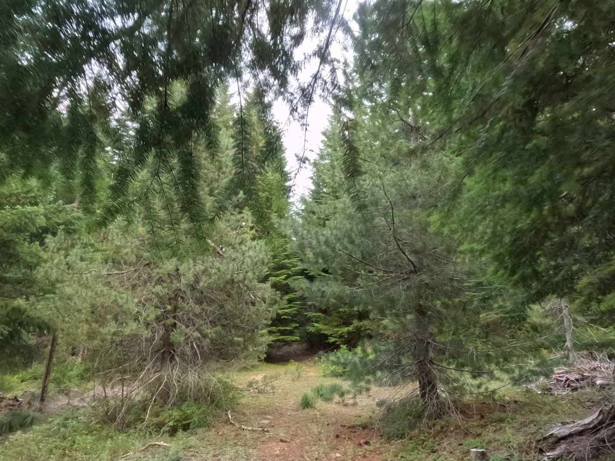
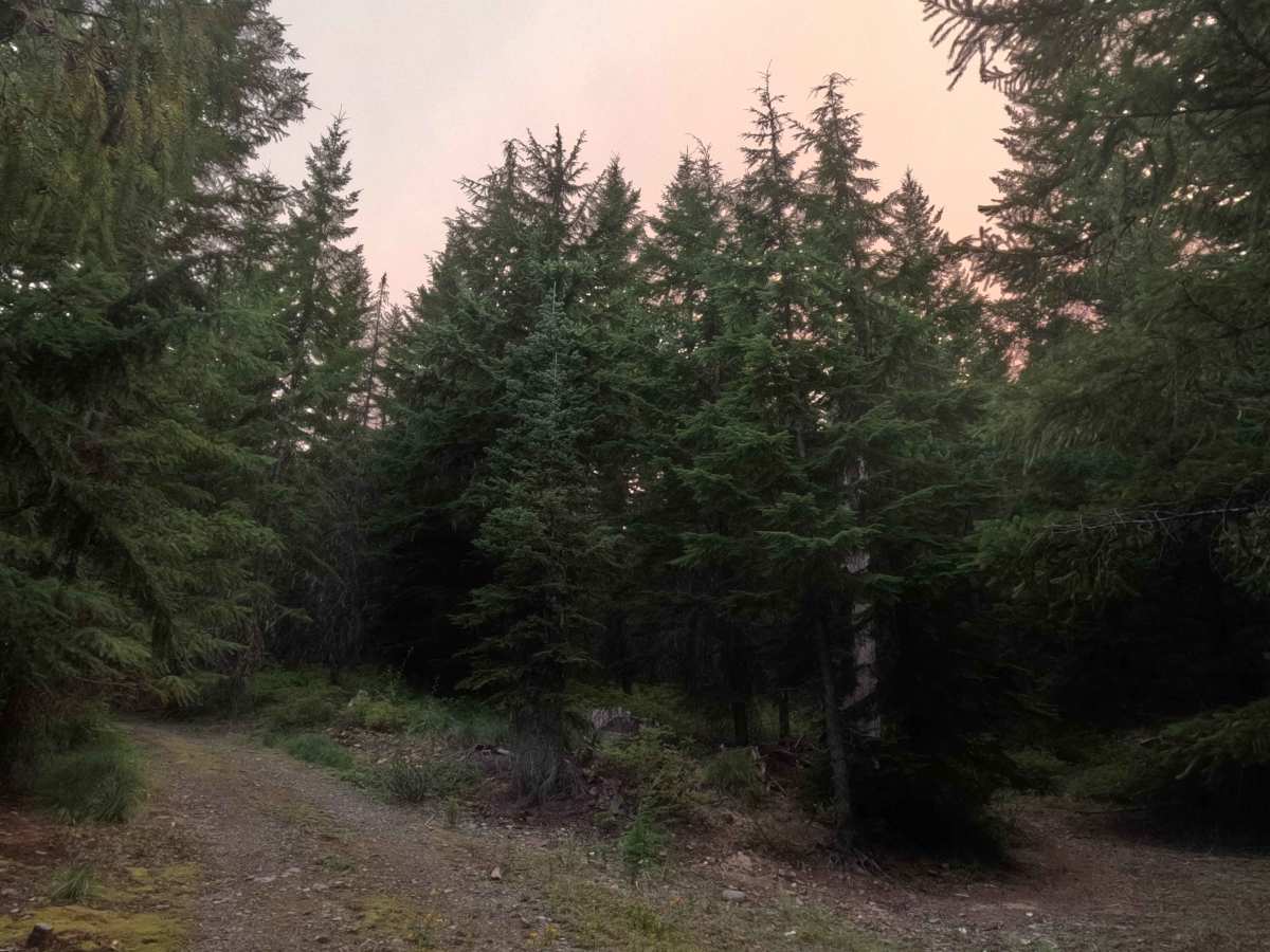
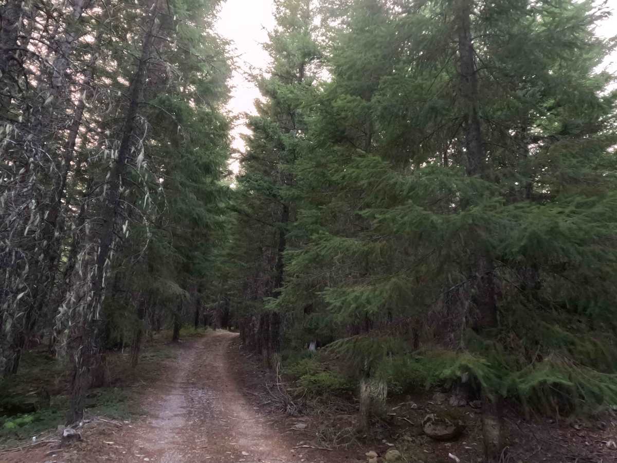
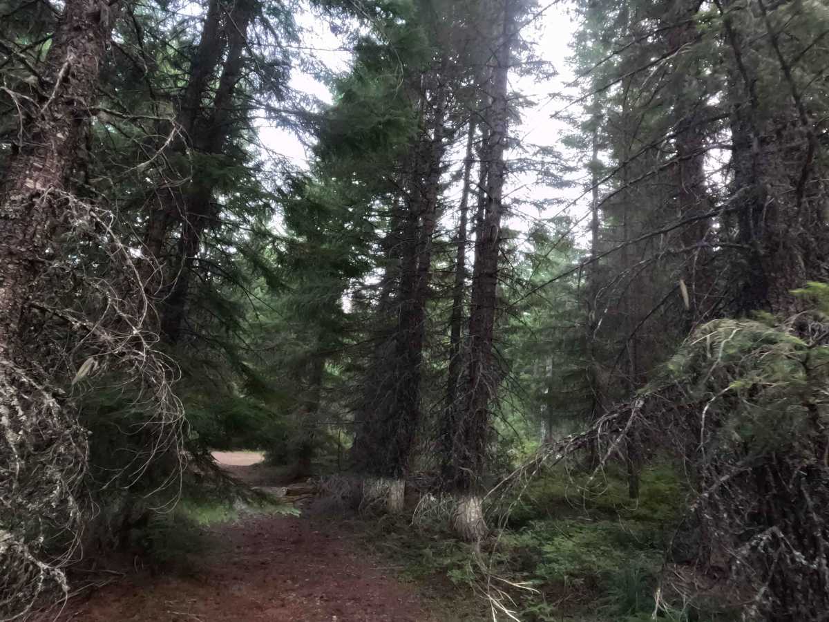
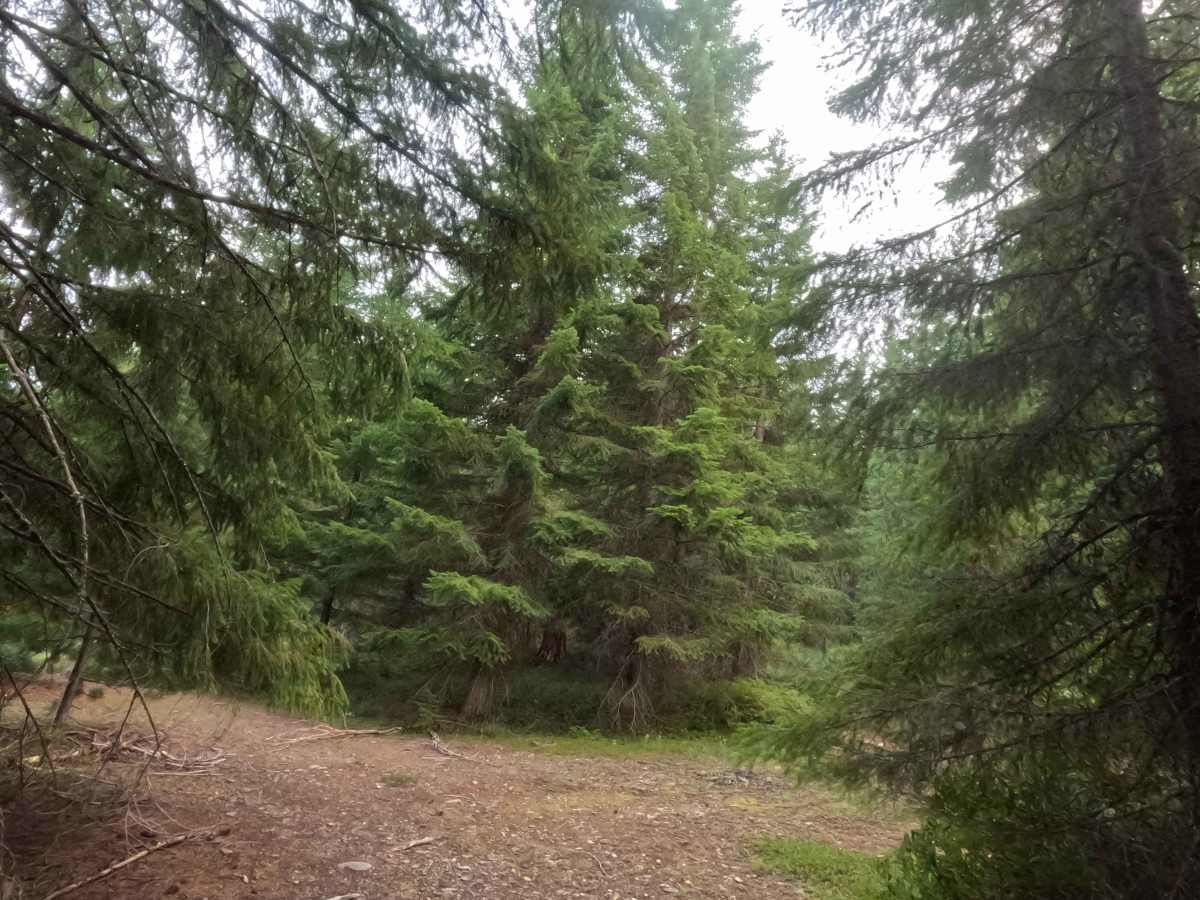
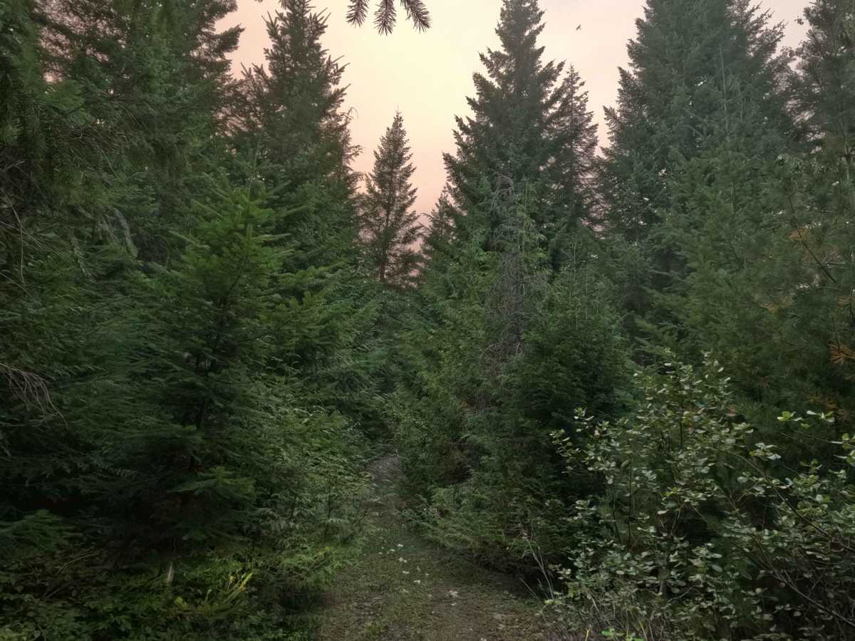
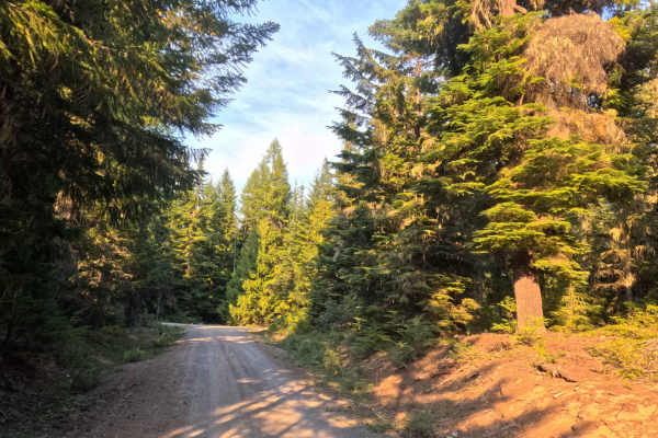
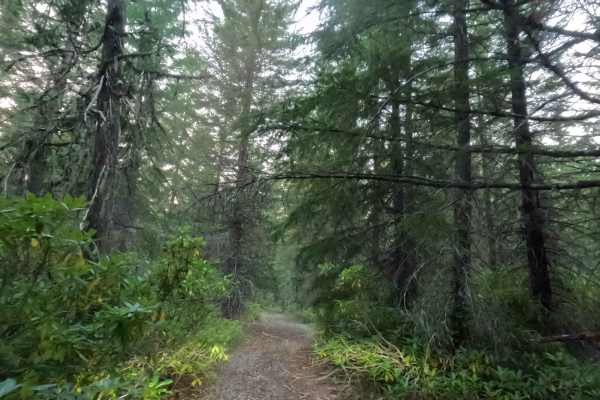
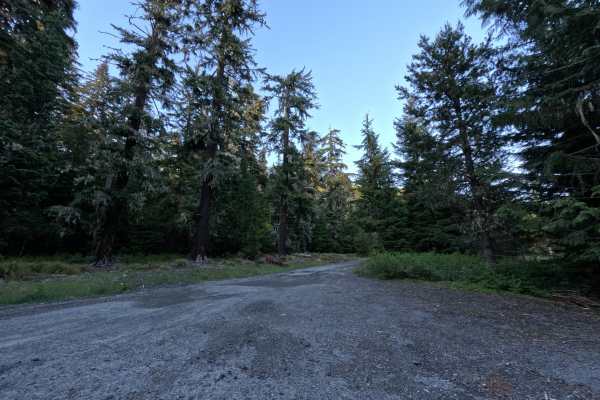
Forking west and northwest directly from the primary FS 2630 thoroughfare, FS 2630013 serves as a brief but vital connector route. This heavily shaded track cuts through the dense, lush timber of the Mt. Hood National Forest, enveloping travelers in a vibrant woodland canopy. Outdoor recreationists and backcountry campers frequently utilize this short pathway to access branching forest trails—specifically FS 2630014 and FS 2630260—and to claim several quiet, tucked-away dispersed campsites. The driving surface consists of a narrow, single-track gravel road that earns a highly accessible Grade 1 difficulty rating. Along the journey, the trail first intersects with route 2630014, marked by an established camping area right at the fork, before passing a second junction at FS 2630260. The route ultimately concludes at a spacious turnaround clearing that seamlessly doubles as a peaceful, private campsite deep within the trees. While the road itself is smooth and easy to follow, the corridor pinches down significantly in certain spots, resulting in heavy brush contact along the edges of the track. Consequently, towing long trailers or piloting exceptionally wide off-road rigs is not recommended.
Difficulty
Earning an entry-level Grade 1 difficulty rating, this short woodland connector features a firm, well-graded gravel foundation that lacks any technical off-road challenges. Deep mud bogs, intimidating boulder crawls, and treacherous shelf drop-offs are completely absent from the smooth, predictable drive. Under normal dry conditions, the flat and stable terrain is easily traversable without specialized equipment. The primary consideration for travelers is dimensional rather than technical; the single-track pathway features aggressive encroaching vegetation that will cause heavy brush contact and inevitable pinstriping as the corridor narrows. Proceeding at a slow, controlled crawling speed is highly advised to comfortably manage the tight clearances, safely spot the intersecting forest branches, and pull into the secluded turnaround campsite without issue.

 Offroad