Trail Overview
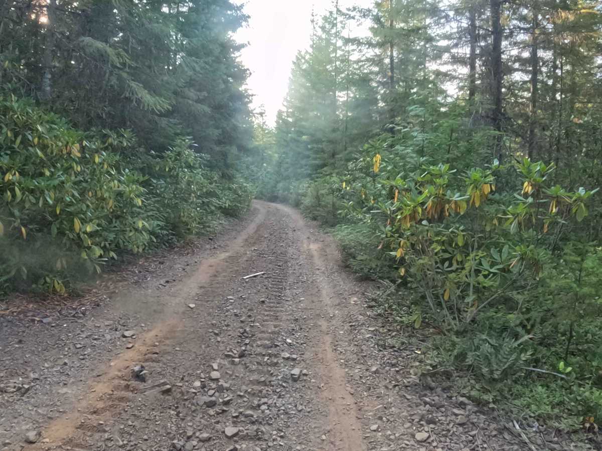
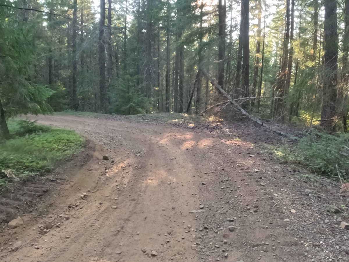
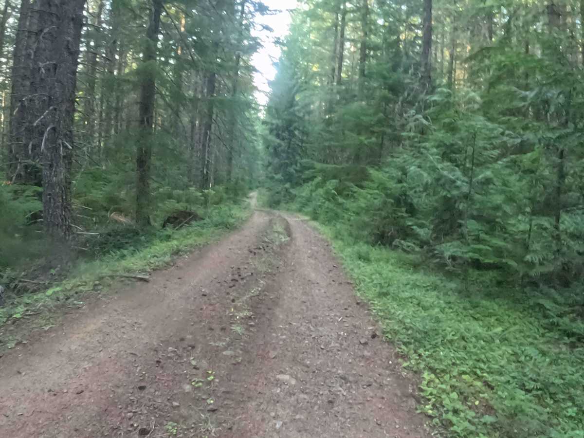
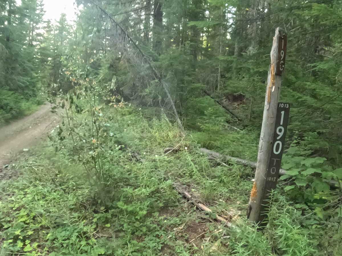
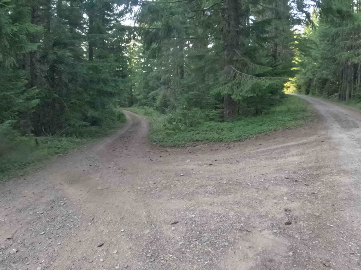
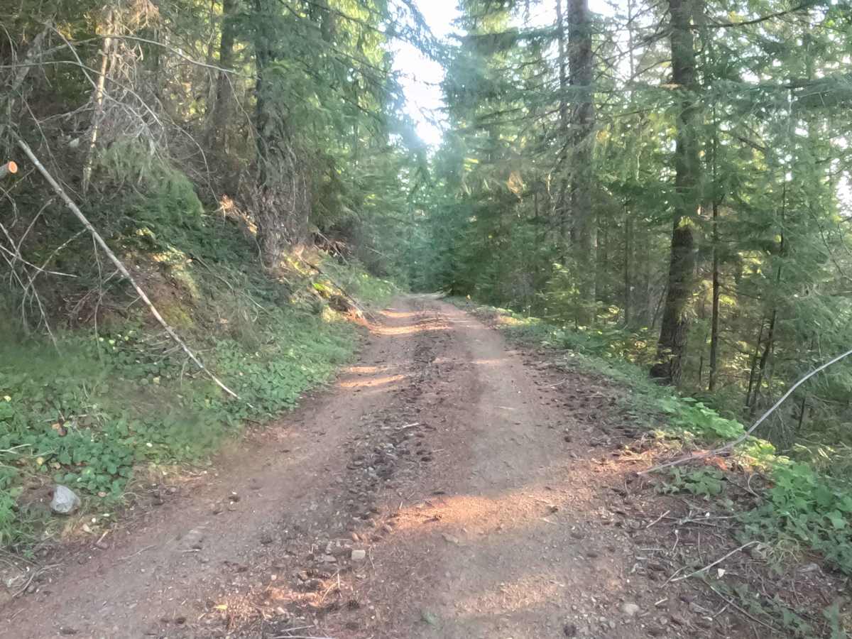
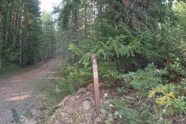
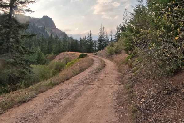
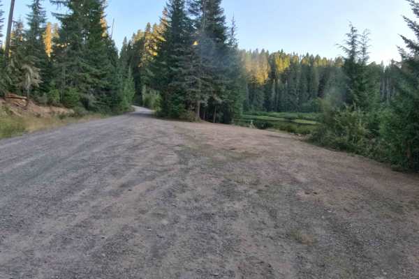
Nestled within a lush, densely timbered conifer forest, FS 1013190 serves as a highly useful backcountry connector route. Linking Upper Hawkins FS 2236000 directly to Hawkins Creek - FS 1013000, this dirt and gravel track provides efficient throughput for explorers looking to traverse different parts of the surrounding trail system regardless of which direction they begin. The driving surface consists of a hard-packed gravel and dirt foundation with uneven terrain and winding mountain corners. Traveling the brief 1.2 miles takes approximately six minutes, reflecting a steady average speed of 12 miles per hour as drivers navigate the twisting layout. The visually appealing corridor is generally easy to follow as it cuts through the heavy green timber, though travelers will encounter several tight switchbacks that naturally force a slower, more deliberate driving pace.
Difficulty
This woodland connector features a firm, hard-packed gravel base that presents a few minor non-technical challenges. Drivers will need to carefully navigate over several small washouts and drainage water bars scattered along the route, all measuring under one foot in depth, which add a bumpy texture to the otherwise smooth ride. Additionally, the pathway incorporates multiple tight switchbacks that demand precise steering and significantly reduced speeds. While these minor terrain obstacles and sharp corners are easily manageable in dry weather, introducing wet or muddy conditions could drastically reduce surface traction, making the tighter sections notably more difficult to safely conquer.